Delf Pond
Lake, Pool, Pond, Freshwater Marsh in Essex Tendring
England
Delf Pond

Delf Pond is a small freshwater body located in the county of Essex, England. It is often referred to as a lake, pool, pond, or freshwater marsh due to its unique characteristics and diverse ecosystems.
Covering an area of approximately 2 hectares, Delf Pond is surrounded by lush vegetation and offers a serene and picturesque setting for visitors. The pond is fed by several small streams and is home to a variety of aquatic plants and wildlife. The water is relatively shallow, with an average depth of around 1.5 meters, providing a suitable habitat for numerous species of fish, amphibians, and invertebrates.
The surrounding area of Delf Pond consists of reed beds, marshes, and wet meadows, which provide crucial habitats for a wide range of bird species. It is a popular destination for birdwatchers, who can spot species such as herons, moorhens, coots, and various waterfowl. The pond also attracts dragonflies and damselflies during the summer months, adding to its natural charm.
Delf Pond is a designated Local Nature Reserve, managed by the local authorities in collaboration with conservation organizations. It offers various recreational activities, including fishing, birdwatching, and nature walks. There are designated footpaths and observation points to allow visitors to explore and appreciate the diverse flora and fauna that call Delf Pond their home.
Overall, Delf Pond in Essex is a tranquil and biodiverse freshwater body that provides a valuable habitat for a range of species. Its natural beauty and recreational opportunities make it a popular destination for nature enthusiasts and a significant asset to the local community.
If you have any feedback on the listing, please let us know in the comments section below.
Delf Pond Images
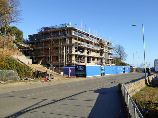
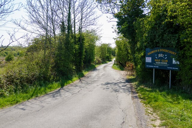
Images are sourced within 2km of 51.940365/1.2537205 or Grid Reference TM2331. Thanks to Geograph Open Source API. All images are credited.


Delf Pond is located at Grid Ref: TM2331 (Lat: 51.940365, Lng: 1.2537205)
Administrative County: Essex
District: Tendring
Police Authority: Essex
What 3 Words
///tummy.fights.voice. Near Dovercourt, Essex
Nearby Locations
Related Wikis

Parkeston, Essex
Parkeston is a North Sea port village in Essex, England, situated on the south bank of the River Stour about one mile (1.6 km) up-river from Harwich....

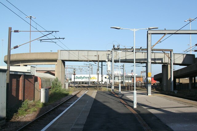
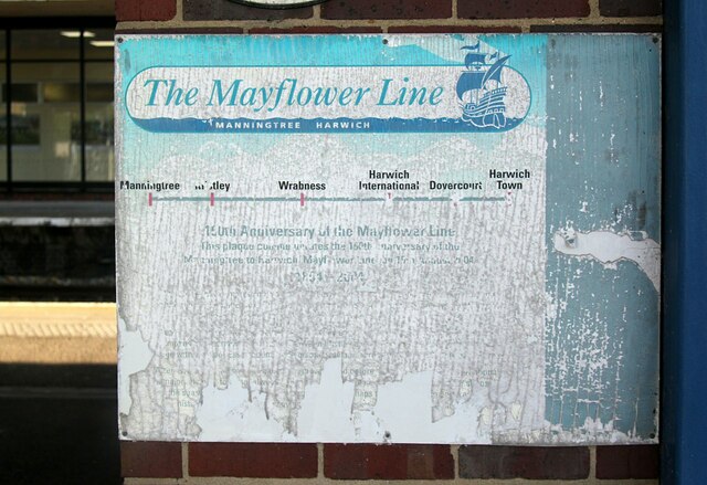
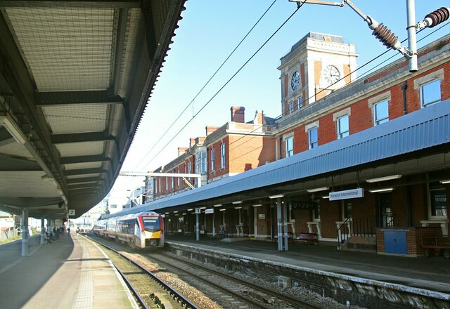
Harwich International railway station
Harwich International railway station is a railway station on the Mayflower Line, a branch of the Great Eastern Main Line, the station serves Harwich International...

Harwich International Port
Harwich International Port is a North Sea seaport in Essex, England, and one of the Haven ports. It lies on the south bank of the River Stour one mile...
HMS Badger (shore establishment)
HMS Badger was a shore establishment of the Royal Navy on the east coast of the United Kingdom. She was commissioned on 13 September 1939 was the flagship...
Nearby Amenities
Located within 500m of 51.940365,1.2537205Have you been to Delf Pond?
Leave your review of Delf Pond below (or comments, questions and feedback).