Aldersley

Settlement in Staffordshire

England

Aldersley

Community Orchard The view in the Smestow Nature Reserve, Tettenhall.
Community Orchard Credit: Gordon Griffiths

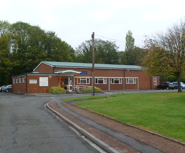
Aldersley is a small village located in the county of Staffordshire, England. Situated on the outskirts of the city of Wolverhampton, it is approximately three miles northwest of the city center. The village is surrounded by picturesque countryside and offers a peaceful and rural atmosphere to its residents.

Aldersley has a long history, with evidence of human settlement dating back to the Iron Age. Today, it is known for its charming mix of traditional and modern architecture, including a variety of period houses and contemporary developments. The village is home to a close-knit community, where neighbors often know each other, creating a friendly and welcoming environment.

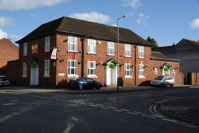
Despite its small size, Aldersley offers a range of amenities and services to cater to the needs of its residents. These include a local primary school, a church, a village hall, and a few shops and pubs. The village is well-connected to surrounding areas by road, with easy access to the M54 motorway and Wolverhampton city center.

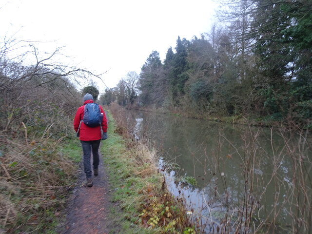
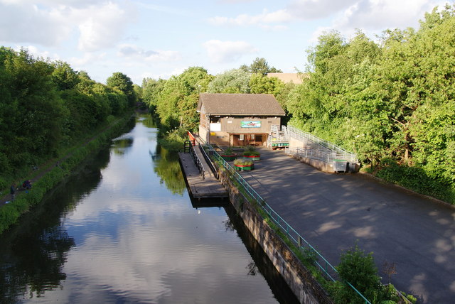
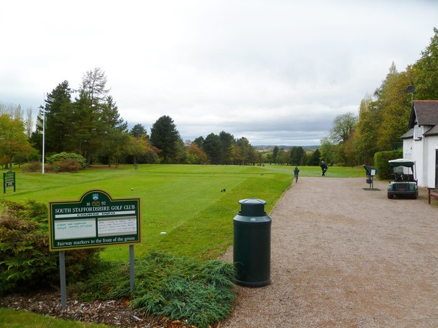
For outdoor enthusiasts, Aldersley benefits from its proximity to natural landscapes, such as the Staffordshire and Worcestershire Canal and the Aldersley Stadium, which hosts various sporting events and activities. The village also has a strong sense of community spirit, with regular events and activities organized by local groups and organizations.

In summary, Aldersley is a charming and historic village in Staffordshire, offering a tranquil lifestyle with a close-knit community. Its location provides easy access to both rural and urban amenities, making it an attractive place to live for those seeking a balance between countryside living and city convenience.

If you have any feedback on the listing, please let us know in the comments section below.
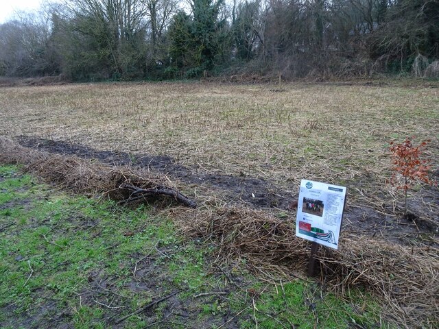
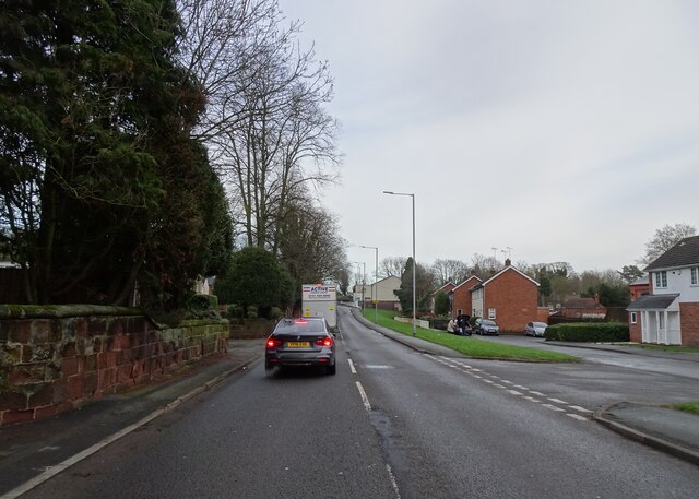
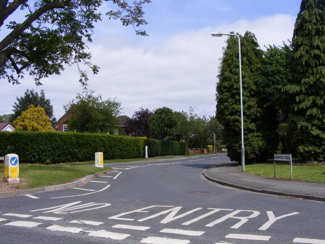
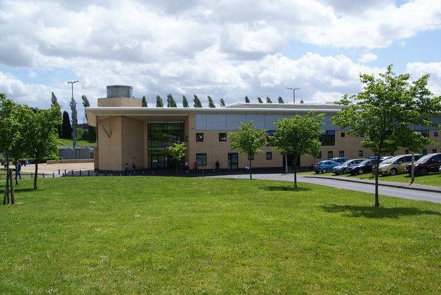
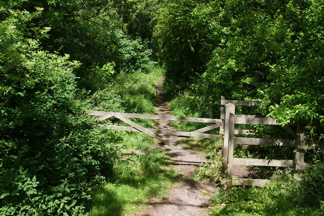
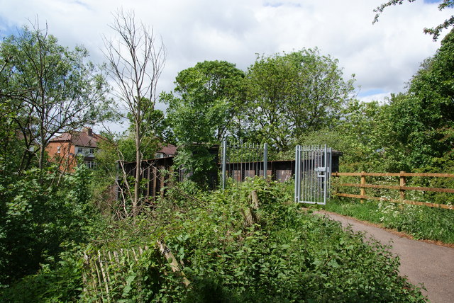
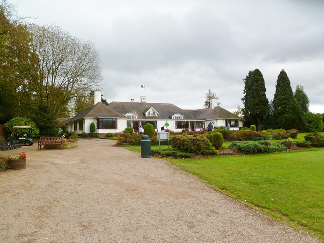
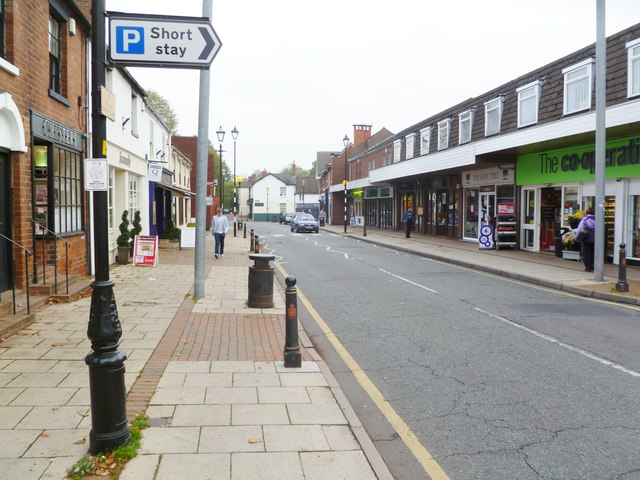
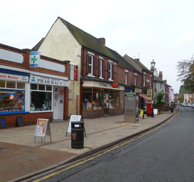
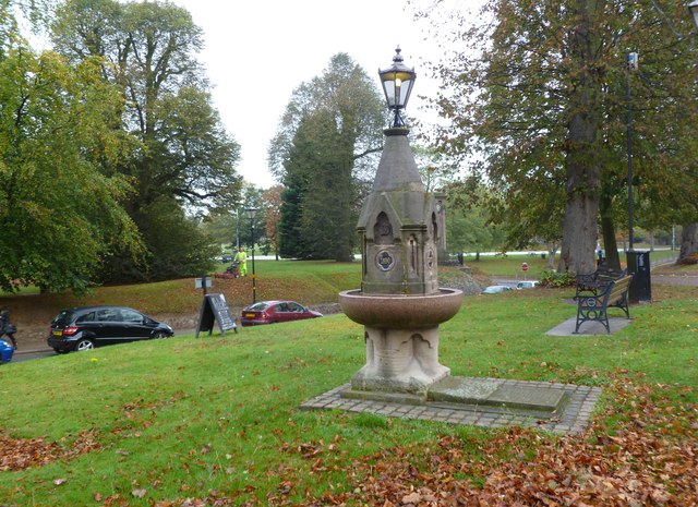
Aldersley Images

Images are sourced within 2km of 52.607994/-2.16167 or Grid Reference SJ8901. Thanks to Geograph Open Source API. All images are credited.

Community Orchard The view in the Smestow Nature Reserve, Tettenhall.
Community Orchard
The view in the Smestow Nature Reserve, Tettenhall.
Henwood Road View The view down the Tettenhall road in Wolverhampton.
Henwood Road View
The view down the Tettenhall road in Wolverhampton.
Towpath View The view towards Tettenhall along the Staffordshire and Worcestershire Canal.
Towpath View
The view towards Tettenhall along the Staffordshire and Worcestershire Canal.
Tettenhall Rock milestone - detail Set into the retaining wall on the 'uphill' side of the cutting on Tettenhall Rock, few people probably even see this one - I've passed it almost every day for 20-odd years, and only spotted it a fortnight ago.
The lettering is cut into the stone, somewhat faded and indistinct now, and states Salop 25, Wolverhampton 2 and London 123.
Tettenhall Rock milestone - detail
Set into the retaining wall on the 'uphill' side of the cutting on Tettenhall Rock, few people probably even see this one - I've passed it almost every day for 20-odd years, and only spotted it a fortnight ago. The lettering is cut into the stone, somewhat faded and indistinct now, and states Salop 25, Wolverhampton 2 and London 123.
Redhouse Road The view from Woodthorne Road South, Wolverhampton.
Redhouse Road
The view from Woodthorne Road South, Wolverhampton.
Aldersley Stadium This comprises an athletics track and a sports village.
Aldersley Stadium
This comprises an athletics track and a sports village.
Path along a former railway track
Bridge over the former railway The thick spring foliage makes it difficult to get a good view.
Bridge over the former railway
The thick spring foliage makes it difficult to get a good view.
The Golden Eagle A pub on the corner of Court Road and Hordern Road.
The Golden Eagle
A pub on the corner of Court Road and Hordern Road.
The Staffordshire and Worcestershire Canal Taken from a cycle path bridge alongside Hordern Road.
The Staffordshire and Worcestershire Canal
Taken from a cycle path bridge alongside Hordern Road.
Southbound freight train on the Kingswinford Branch  at Aldersley Junction View northward, towards Codsall, Wellington and Shrewsbury (to the left), Oxley Sidings, Wolverhampton etc. (to the right). The train is headed towards Kingswinford Junction and Stourbridge Junction, on a line only opened in 1925, closed to passengers in 1932, to goods in 1965. The locomotive (4-6-0 No. 5900 'Hinderton Hall' is now preserved at Didcot Railway Centre, having been built in 3/31 and withdrawn in 12/63. (On this occasion there was no one on the footplate, the crew evidently having a break - hopefully having left the brakes on). (Compare this view with <a href="https://www.geograph.org.uk/photo/2439076">SJ8901 : Bridge over the former railway</a>)!
Southbound freight train on the Kingswinford Branch at Aldersley Junction
View northward, towards Codsall, Wellington and Shrewsbury (to the left), Oxley Sidings, Wolverhampton etc. (to the right). The train is headed towards Kingswinford Junction and Stourbridge Junction, on a line only opened in 1925, closed to passengers in 1932, to goods in 1965. The locomotive (4-6-0 No. 5900 'Hinderton Hall' is now preserved at Didcot Railway Centre, having been built in 3/31 and withdrawn in 12/63. (On this occasion there was no one on the footplate, the crew evidently having a break - hopefully having left the brakes on). (Compare this view with SJ8901 : Bridge over the former railway)!
Tettenhall, golf club South Staffs Golf Club, looking from tee no.1, with the shop to right. <span class="nowrap"><a title="http://www.southstaffordshiregolfclub.co.uk/" rel="nofollow ugc noopener" href="http://www.southstaffordshiregolfclub.co.uk/">Link</a><img style="margin-left:2px;" alt="External link" title="External link - shift click to open in new window" src="https://s1.geograph.org.uk/img/external.png" width="10" height="10"/></span>
Tettenhall, golf club
South Staffs Golf Club, looking from tee no.1, with the shop to right. LinkExternal link
Tettenhall, golf clubhouse At South Staffs Golf Club: <span class="nowrap"><a title="http://www.southstaffordshiregolfclub.co.uk/The_Clubhouse" rel="nofollow ugc noopener" href="http://www.southstaffordshiregolfclub.co.uk/The_Clubhouse">Link</a><img style="margin-left:2px;" alt="External link" title="External link - shift click to open in new window" src="https://s1.geograph.org.uk/img/external.png" width="10" height="10"/></span>
Tettenhall, golf clubhouse
At South Staffs Golf Club: LinkExternal link
Tettenhall High Street Looking towards Upper Green; the high street currently offers a foodstore, newsagents and several independent shops, including a butchery.
Tettenhall High Street
Looking towards Upper Green; the high street currently offers a foodstore, newsagents and several independent shops, including a butchery.
Tettenhall Post Office On Upper Green.
Tettenhall Post Office
On Upper Green.
Tettenhall, drinking fountain On Upper Green; according to a plaque, installed in 1890, and re-located and restored as a millennium project in 2000.
Tettenhall, drinking fountain
On Upper Green; according to a plaque, installed in 1890, and re-located and restored as a millennium project in 2000.
Tettenhall Library Off Upper Street, maintained by Wolverhampton City Council: <span class="nowrap"><a title="http://www.wolverhampton.gov.uk/leisure_culture/libraries/branch/tettenhall.htm" rel="nofollow ugc noopener" href="http://www.wolverhampton.gov.uk/leisure_culture/libraries/branch/tettenhall.htm">Link</a><img style="margin-left:2px;" alt="External link" title="External link - shift click to open in new window" src="https://s1.geograph.org.uk/img/external.png" width="10" height="10"/></span>
Tettenhall Library
Off Upper Street, maintained by Wolverhampton City Council: LinkExternal link
The Rock (A41) north of Henwood Road traffic lights
Show me another place!

Aldersley is located at Grid Ref: SJ8901 (Lat: 52.607994, Lng: -2.16167)

Unitary Authority: Wolverhampton

Police Authority: West Midlands

What 3 Words

///fancy.full.grand. Near Codsall, Staffordshire

Nearby Locations

Blakeley Green Aldersley

Related Wikis

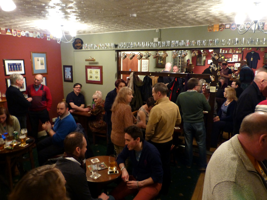
Hail to the Ale, Wolverhampton

Hail to the Ale is a micropub at Claregate, Wolverhampton, WV6 9JN. The pub is owned by Gary and Angela Morton of Morton Brewery, based in nearby Essington...

Aldersley

Aldersley is a suburb of Wolverhampton, West Midlands, England. It is north-west of Wolverhampton city centre, within the Tettenhall Regis ward. Aldersley...

South Staffordshire Railway Walk

The South Staffordshire Railway Walk is located in Staffordshire, England. It runs for five and a half miles (about 8.85 km) from Castlecroft to Wall Heath...

Smestow Valley Leisure Ride

Smestow Valley Leisure Ride is an approximately 10 miles (16 km) long cycle path linking Aldersley Leisure Village in Aldersley, Wolverhampton following...

Nearby Amenities

Located within 500m of 52.607994,-2.16167
Bus Stop
Codsall Rd / The Claregate
NaPTANAreaCode: 43000747601
Bench: yes
Covered: yes
Naptan AtcoCode: 43000747601
Naptan Bearing: S
Naptan BusStopType: MKD
Naptan CommonName: The Claregate
Naptan Indicator: adj
Naptan Landmark: Playing Fields
Naptan NaptanCode: nwmjmjam
Naptan PlusbusZoneRef: BHAMNWS
Naptan Status: ACT
Naptan StopType: BCT
Naptan Street: CODSALL RD
Naptan Towards: Wolverhampton
Naptan Verified: no
Network: National Express West Midlands
Operator: National Express
Public Transport: platform
Route Ref: 5;5A
Shelter: yes
Shelter Ref: 101927
Source: WMCA
Website: https://nxbus.co.uk/west-midlands/
Lat/Long: 52.6061085/-2.1599217
Bus Stop
Codsall Rd / The Claregate
Bus: yes
Naptan AtcoCode: 43000747602
Naptan Bearing: N
Naptan BusStopType: MKD
Naptan CommonName: The Claregate
Naptan Indicator: after
Naptan Landmark: Playing Fields
Naptan NaptanCode: nwmjmjap
Naptan PlusbusZoneRef: BHAMNWS
Naptan Status: ACT
Naptan StopType: BCT
Naptan Street: CODSALL RD
Naptan Towards: Codsall
Naptan Verified: no
Public Transport: platform
Route Ref: 5;5A
Source: WMCA
Lat/Long: 52.6066159/-2.1605019
Bus Stop
Codsall Rd / Claregate Island
Bus: yes
Naptan AtcoCode: 43000747701
Naptan Bearing: S
Naptan BusStopType: MKD
Naptan CommonName: Claregate Island
Naptan Indicator: after
Naptan NaptanCode: nwmjmjat
Naptan PlusbusZoneRef: BHAMNWS
Naptan Status: ACT
Naptan StopType: BCT
Naptan Street: CODSALL RD
Naptan Towards: Wolverhampton
Naptan Verified: no
Public Transport: platform
Route Ref: 5;5A
Source: WMCA
Lat/Long: 52.6075054/-2.1608744
Bus Stop
Codsall Rd / Crestwood Glen
Bus: yes
Naptan AtcoCode: 43000747801
Naptan Bearing: NW
Naptan BusStopType: MKD
Naptan CommonName: Crestwood Glen
Naptan Indicator: opp
Naptan NaptanCode: nwmjmjaw
Naptan PlusbusZoneRef: BHAMNWS
Naptan Status: ACT
Naptan StopType: BCT
Naptan Street: CODSALL RD
Naptan Towards: Codsall
Naptan Verified: no
Public Transport: platform
Route Ref: 5;5A
Source: WMCA
Lat/Long: 52.609012/-2.1635529
Bus Stop
Codsall Rd / Crestwood Glen
Bus: yes
Naptan AtcoCode: 43000747802
Naptan Bearing: SE
Naptan BusStopType: MKD
Naptan CommonName: Crestwood Glen
Naptan Indicator: adj
Naptan NaptanCode: nwmjmjda
Naptan PlusbusZoneRef: BHAMNWS
Naptan Status: ACT
Naptan StopType: BCT
Naptan Street: CODSALL RD
Naptan Towards: Wolverhampton
Naptan Verified: no
Public Transport: platform
Route Ref: 5;5A
Source: WMCA
Lat/Long: 52.6093353/-2.1638051
Bus Stop
Green Lane / The Pilot
NaPTANAreaCode: 43000748201
Bus: yes
Naptan AtcoCode: 43000748201
Naptan Bearing: NE
Naptan BusStopType: MKD
Naptan CommonName: The Pilot
Naptan Indicator: adj
Naptan NaptanCode: nwmjmjdt
Naptan PlusbusZoneRef: BHAMNWS
Naptan Status: ACT
Naptan StopType: BCT
Naptan Street: GREEN LANE
Naptan Towards: Wolverhampton
Naptan Verified: no
Public Transport: platform
Route Ref: 6;6A
Shelter: yes
Shelter Ref: 101930
Source: WMCA
Lat/Long: 52.6097063/-2.1553592
Bus Stop
Green Lane / The Pilot
Bus: yes
Naptan AtcoCode: 43000748202
Naptan Bearing: SW
Naptan BusStopType: MKD
Naptan CommonName: The Pilot
Naptan Indicator: opp
Naptan NaptanCode: nwmjmjdw
Naptan PlusbusZoneRef: BHAMNWS
Naptan Status: ACT
Naptan StopType: BCT
Naptan Street: GREEN LANE
Naptan Towards: Pendeford
Naptan Verified: no
Public Transport: platform
Route Ref: 6
Source: WMCA
Lat/Long: 52.6096345/-2.1552556
Bus Stop
Pendeford Ave / Blackburn Avenue
Bus: yes
Naptan AtcoCode: 43000748301
Naptan Bearing: N
Naptan BusStopType: MKD
Naptan CommonName: Blackburn Avenue
Naptan Indicator: opp
Naptan NaptanCode: nwmjmjga
Naptan PlusbusZoneRef: BHAMNWS
Naptan Status: ACT
Naptan StopType: BCT
Naptan Street: PENDEFORD AVE
Naptan Verified: no
Public Transport: platform
Source: WMCA
Lat/Long: 52.6085568/-2.1612031
Bus Stop
Pendeford Ave / Cheam Gardens
NaPTANAreaCode: 43000748401
Bus: yes
Naptan AtcoCode: 43000748401
Naptan Bearing: S
Naptan BusStopType: MKD
Naptan CommonName: Cheam Gardens
Naptan Indicator: adj
Naptan NaptanCode: nwmjmjgd
Naptan PlusbusZoneRef: BHAMNWS
Naptan Status: ACT
Naptan StopType: BCT
Naptan Street: PENDEFORD AVE
Naptan Towards: Wolverhampton
Naptan Verified: no
Public Transport: platform
Route Ref: 6;6A
Shelter: yes
Shelter Ref: 101931
Source: WMCA
Lat/Long: 52.6116139/-2.1607861
Bus Stop
Pendeford Ave / Cheam Gardens
NaPTANAreaCode: 43000748402
Bus: yes
Naptan AtcoCode: 43000748402
Naptan Bearing: N
Naptan BusStopType: MKD
Naptan CommonName: Cheam Gardens
Naptan Indicator: opp
Naptan NaptanCode: nwmjmjgj
Naptan PlusbusZoneRef: BHAMNWS
Naptan Status: ACT
Naptan StopType: BCT
Naptan Street: PENDEFORD AVE
Naptan Towards: Pendeford
Naptan Verified: no
Public Transport: platform
Route Ref: 6;6A
Shelter: yes
Shelter Ref: 101811
Source: WMCA
Lat/Long: 52.6114967/-2.1610367
Bus Stop
Green Lane / Pendeford Avenue
Bus: yes
Naptan AtcoCode: 43007402501
Naptan Bearing: W
Naptan BusStopType: MKD
Naptan CommonName: Pendeford Avenue
Naptan Indicator: before
Naptan NaptanCode: nwmtgadt
Naptan PlusbusZoneRef: BHAMNWS
Naptan Status: ACT
Naptan StopType: BCT
Naptan Street: GREEN LANE
Naptan Towards: Pendeford
Naptan Verified: no
Public Transport: platform
Route Ref: 6;6A
Source: WMCA
Lat/Long: 52.6105172/-2.160723
Turning Circle
Lat/Long: 52.6047868/-2.164769
Turning Circle
Source: bing
Lat/Long: 52.6065353/-2.1616048
Turning Circle
Source: bing
Lat/Long: 52.6098586/-2.1627642
Pub
Hail To The Ale
Addr City: Wolverhampton
Addr Housenumber: 2
Addr Postcode: WV6 9JN
Addr Street: Pendeford Avenue
Opening Hours: Th,Fr 17:00-22:00, Sa 12:00-22:00, Su 12:00-17:00
Smoking: outside
Lat/Long: 52.6080342/-2.160823
Fast Food
Gavriels
Addr City: Wolverhampton
Addr Street: Pendeford Avenue
Cuisine: fish_and_chips
Takeaway: yes
Lat/Long: 52.6105169/-2.1617142
Bates Butchers
Addr City: Wolverhampton
Addr Housenumber: 57
Addr Postcode: WV6 9EH
Addr Street: Pendeford Avenue
Operator: Private
Shop: butcher
Lat/Long: 52.6109469/-2.1615158
Fast Food
Greedy Pig
Addr City: Wolverhampton
Addr Street: Pendeford Avenue
Cuisine: breakfast
Delivery: yes
Drive Through: no
Opening Hours: 07:00-12:00
Operator: Private
Takeaway: yes
Lat/Long: 52.6083441/-2.16132
New Ink
Addr City: Wolverhampton
Addr Housenumber: 1
Addr Postcode: WV6 9EG
Addr Street: Pendeford Avenue
Opening Hours: 10:00-17:00
Shop: tattoo
Lat/Long: 52.6082838/-2.1613253
Cut 'n' Dry
Addr City: Wolverhampton
Addr Housenumber: 64
Addr Postcode: WV6 9QP
Addr Street: Codsall Road
Shop: hairdresser
Lat/Long: 52.6082203/-2.1616928
Post Box
Lat/Long: 52.6106948/-2.1615674
Post Office
Pendeford Post Office
Addr City: Wolverhampton
Addr Country: GB
Addr Postcode: WV6 9EH
Addr Street: Pendeford Avenue
Addr Village: Claredate
Brand: Post Office
Brand Wikidata: Q1783168
Contact Website: https://www.postoffice.co.uk/branch-finder/2062461/pendeford
Opening Hours: Mo-Sa 07:00-22:00; Su 08:00-22:00
Operator: The Co-operative Food
Ref Pol Id: 7283
Lat/Long: 52.610674/-2.1618618
Spar
Addr City: Wolverhampton
Addr Street: Pendeford Avenue
Brand: Spar
Brand Wikidata: Q610492
Brand Wikipedia: en:SPAR (retailer)
Operator: Spar
Shop: convenience
Lat/Long: 52.6103671/-2.1617572
Childcare
Caterpillars
Lat/Long: 52.6108468/-2.1568888
Fast Food
Sunrise
Cuisine: chinese
Lat/Long: 52.6108273/-2.1567199
Central Electrical Contracts
Addr City: Wolverhampton
Addr Housenumber: 76
Addr Postcode: WV6 9HJ
Addr Street: Green Lane
Craft: electrician
Operator: Lighting R Us
Website: https://www.centralelectricalcontracts.co.uk/
Lat/Long: 52.6108142/-2.156457
First 4 Flooring
Addr City: Wolverhampton
Addr Housenumber: 78
Addr Postcode: WV6 9HJ
Addr Street: Green Lane
Craft: carpet_layer
Phone: +44 1902 742751
Lat/Long: 52.6108208/-2.1565589
Codsall Rd / Claregate Island
Naptan AtcoCode: 43000747702
Naptan Bearing: NW
Naptan BusStopType: CUS
Naptan CommonName: Claregate Island
Naptan Indicator: before
Naptan NaptanCode: nwmtmpgp
Naptan Status: ACT
Naptan StopType: BCT
Naptan Street: CODSALL RD
Source: WMCA
Lat/Long: 52.6074292/-2.1610183
Claregate
Place: neighbourhood
Wikidata: Q5126288
Wikipedia: en:Claregate
Lat/Long: 52.6066997/-2.1578497
Generator Method: photovoltaic
Generator Output Electricity: yes
Generator Source: solar
Generator Type: solar_photovoltaic_panel
Power: generator
Lat/Long: 52.6115533/-2.1656249
Generator Method: photovoltaic
Generator Output Electricity: yes
Generator Source: solar
Generator Type: solar_photovoltaic_panel
Power: generator
Lat/Long: 52.6115175/-2.1657014
Generator Method: photovoltaic
Generator Output Electricity: yes
Generator Source: solar
Generator Type: solar_photovoltaic_panel
Location: roof
Power: generator
Lat/Long: 52.6112243/-2.1620992
Nicole's Balloons, Cards, Gifts & Party Shop
Shop: gift
Lat/Long: 52.6104523/-2.1617317
Generator Method: photovoltaic
Generator Output Electricity: yes
Generator Source: solar
Generator Type: solar_photovoltaic_panel
Location: roof
Power: generator
Lat/Long: 52.6110077/-2.1642208
The data included in this document is from www.openstreetmap.org. The data is made available under ODbL.

Have you been to Aldersley?

Leave your review of Aldersley below (or comments, questions and feedback).