Blakeley Green
Settlement in Staffordshire
England
Blakeley Green
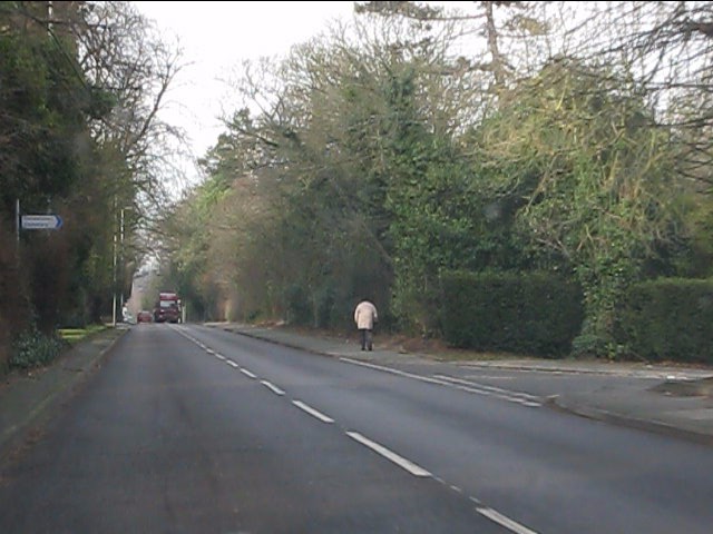
Blakeley Green is a small village located in Staffordshire, England. It is situated approximately 4 miles east of the town of Cheadle and 9 miles west of the city of Stoke-on-Trent. The village is nestled in a rural area, surrounded by picturesque countryside and rolling hills.
The main feature of Blakeley Green is its charming village center, which consists of a few houses, a village hall, and a small pub. The village hall serves as a gathering place for the local community, hosting various events and activities throughout the year.
The village is known for its tranquil and idyllic setting, providing residents and visitors with a peaceful retreat from the bustling city life. It is a popular destination for those seeking outdoor activities, such as hiking, cycling, and horseback riding, thanks to its proximity to the stunning Staffordshire Moorlands.
Despite its small size, Blakeley Green is well-connected to neighboring towns and cities. The A522 road runs through the village, offering convenient access to Cheadle and Stoke-on-Trent. Public transportation options include regular bus services that connect the village to nearby areas.
Overall, Blakeley Green is a charming and scenic village that offers a serene and rural lifestyle. It is a haven for nature enthusiasts and provides a close-knit community atmosphere for its residents.
If you have any feedback on the listing, please let us know in the comments section below.
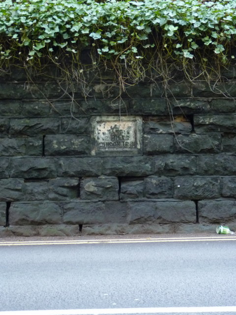
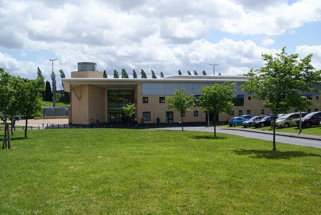
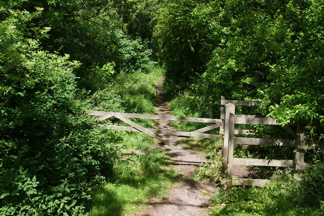
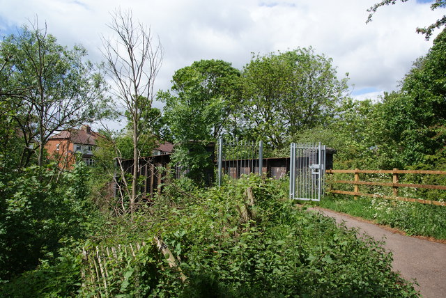
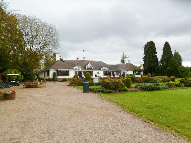
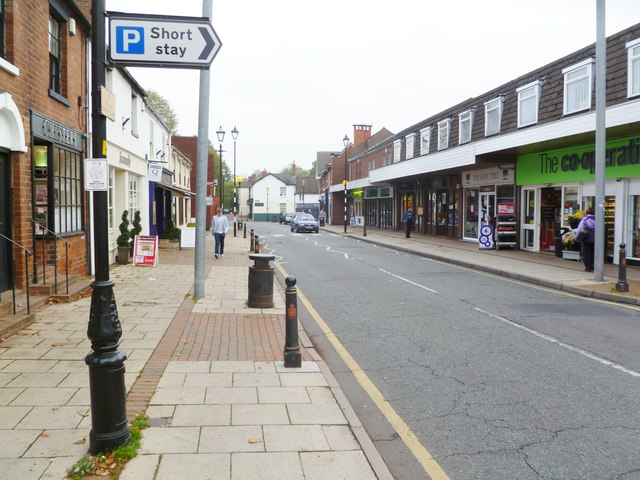
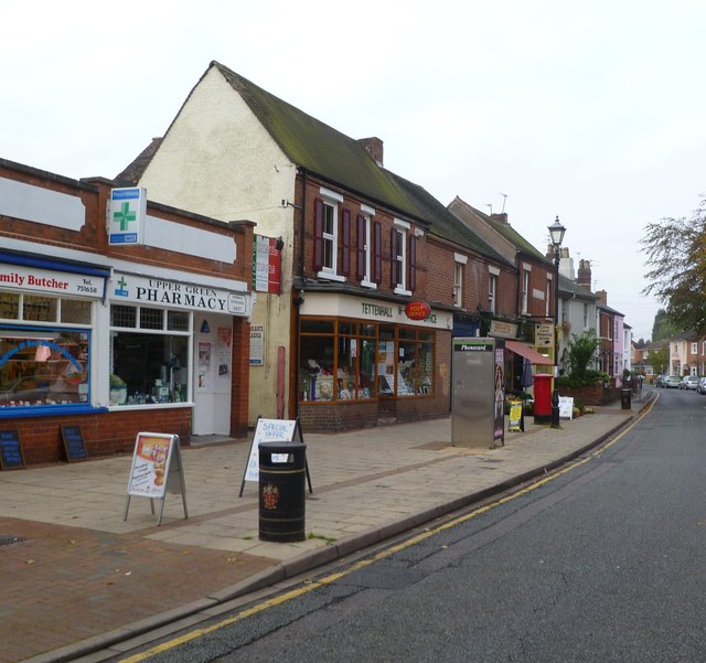
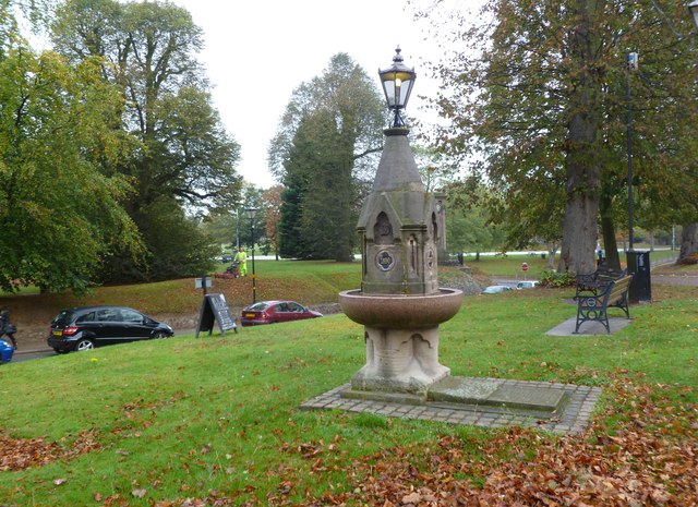
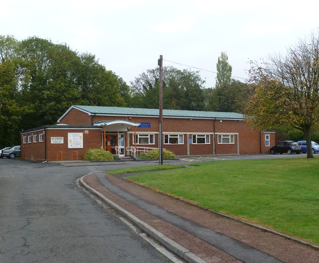
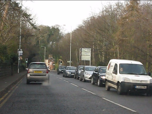
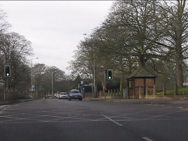
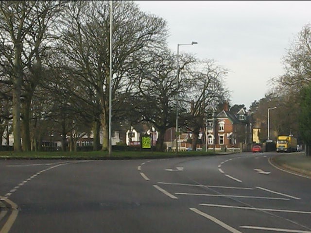
Blakeley Green Images
Images are sourced within 2km of 52.611237/-2.156513 or Grid Reference SJ8901. Thanks to Geograph Open Source API. All images are credited.

Blakeley Green is located at Grid Ref: SJ8901 (Lat: 52.611237, Lng: -2.156513)
Unitary Authority: Wolverhampton
Police Authority: West Midlands
What 3 Words
///curl.reform.descended. Near Codsall, Staffordshire
Nearby Locations
Related Wikis
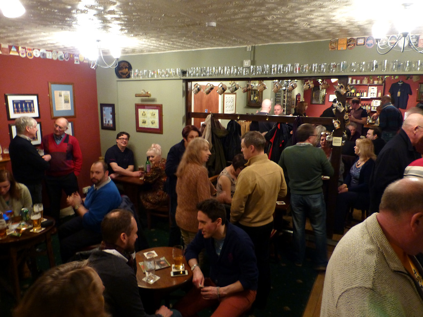
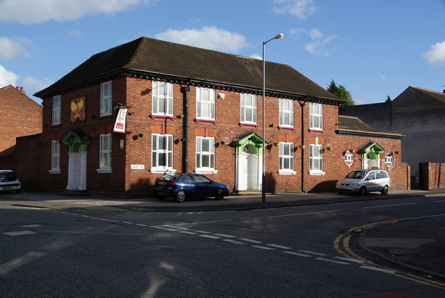
Hail to the Ale, Wolverhampton
Hail to the Ale is a micropub at Claregate, Wolverhampton, WV6 9JN. The pub is owned by Gary and Angela Morton of Morton Brewery, based in nearby Essington...

Aldersley
Aldersley is a suburb of Wolverhampton, West Midlands, England. It is north-west of Wolverhampton city centre, within the Tettenhall Regis ward. Aldersley...
Dovecotes, Wolverhampton
Dovecotes is a housing estate at Pendeford, Wolverhampton, West Midlands, England. It is situated NNW of the city centre and neighbours Pendeford Park...

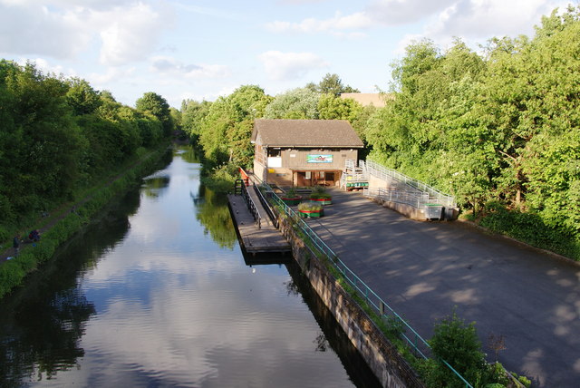
Autherley Junction
Autherley Junction (grid reference SJ901020) is the name of the canal junction where the Shropshire Union Canal terminates and meets the Staffordshire...

Aldersley Junction
Aldersley Junction (grid reference SJ902011) is the name of the canal junction where the Birmingham Main Line Canal terminates and meets the Staffordshire...
Aldersley High School
Aldersley High School is a mixed secondary school and sixth form located in the Pendeford area of Wolverhampton in the West Midlands of England.Despite...
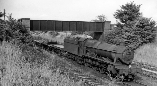
South Staffordshire Railway Walk
The South Staffordshire Railway Walk is located in Staffordshire, England. It runs for five and a half miles (about 8.85 km) from Castlecroft to Wall Heath...
Smestow Valley Leisure Ride
Smestow Valley Leisure Ride is an approximately 10 miles (16 km) long cycle path linking Aldersley Leisure Village in Aldersley, Wolverhampton following...
Nearby Amenities
Located within 500m of 52.611237,-2.156513Have you been to Blakeley Green?
Leave your review of Blakeley Green below (or comments, questions and feedback).