Blakeley Lane

Settlement in Staffordshire Staffordshire Moorlands

England

Blakeley Lane

A520 Cellarhead The view entering Cellarhead heading north on the Leek Road (A520).
A520 Cellarhead Credit: Gordon Griffiths

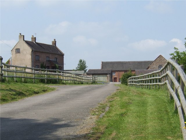
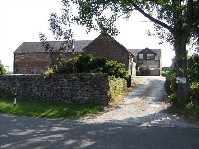
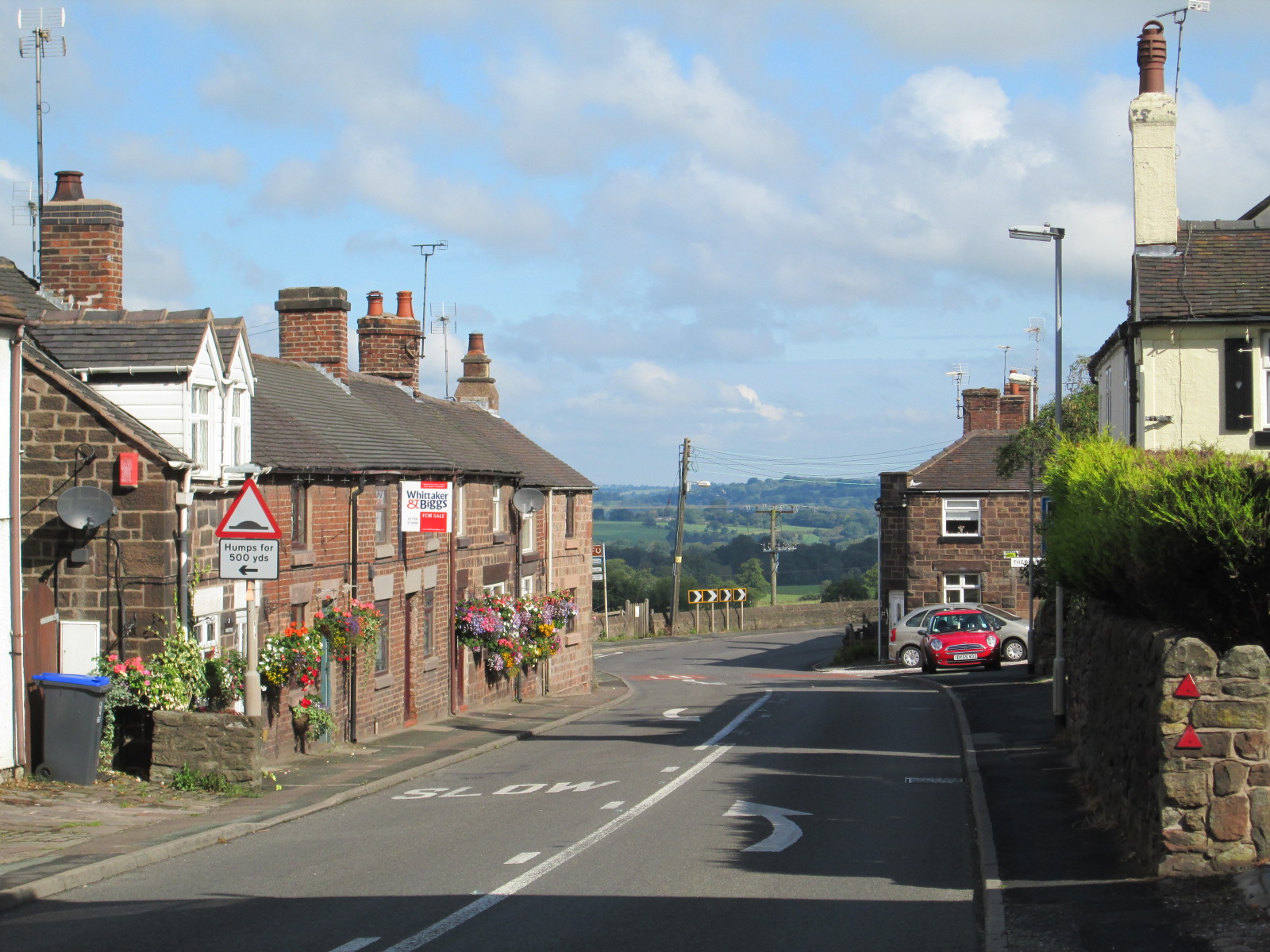
Blakeley Lane is a quaint and picturesque village located in the county of Staffordshire, England. Nestled amidst the stunning countryside, this idyllic location offers a peaceful and serene environment for its residents and visitors alike.

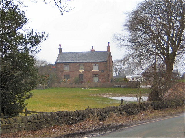
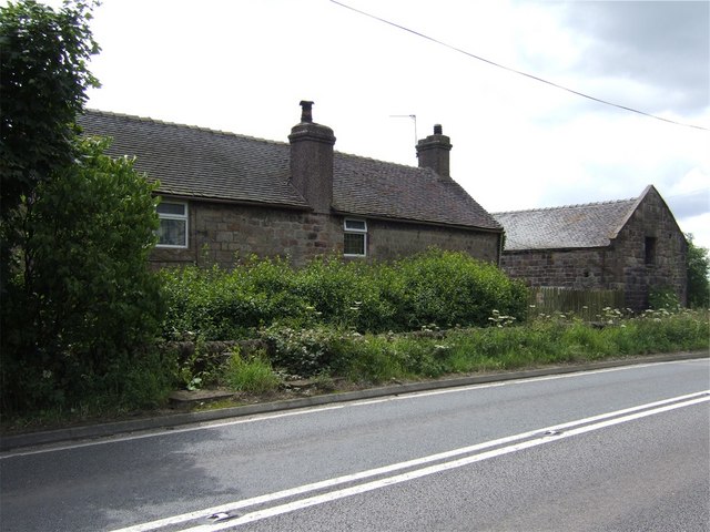
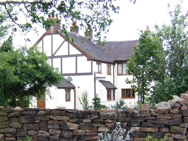
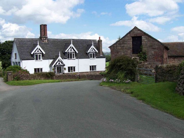
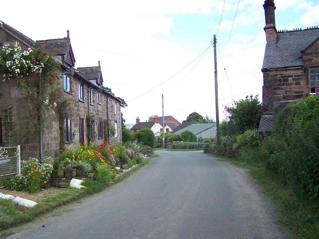
The village is known for its charming cottages, many of which date back to the 18th and 19th centuries. These traditional buildings add to the picturesque charm of the area, creating a scene reminiscent of a bygone era. The well-maintained gardens and flower-filled streets further enhance the village's beauty.

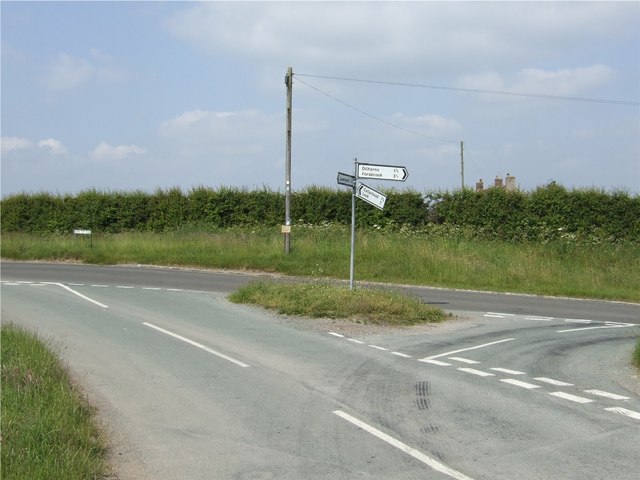
Blakeley Lane is surrounded by lush green fields and rolling hills, providing ample opportunities for outdoor activities such as hiking, cycling, and horseback riding. The village is also home to several walking trails, allowing visitors to explore the surrounding countryside and enjoy the breathtaking views.

Despite its rural setting, Blakeley Lane is conveniently located near major road networks, making it easily accessible. The nearby town of Stafford offers a range of amenities including shops, restaurants, and leisure facilities.

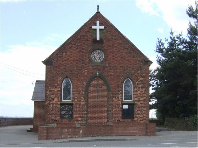
The community in Blakeley Lane is close-knit and friendly, with a strong sense of pride in their village. Regular events and gatherings are organized, bringing residents together and fostering a sense of community spirit.

In summary, Blakeley Lane offers a charming and peaceful escape from the hustle and bustle of city life. Its picturesque surroundings, traditional architecture, and welcoming community make it a truly delightful place to visit or call home.

If you have any feedback on the listing, please let us know in the comments section below.

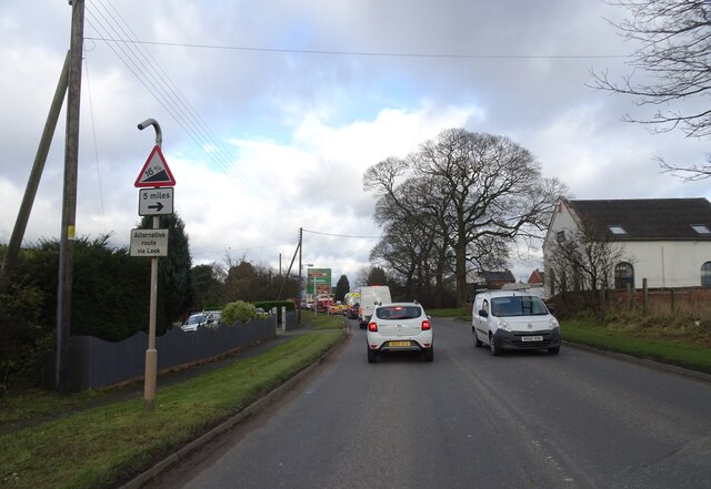
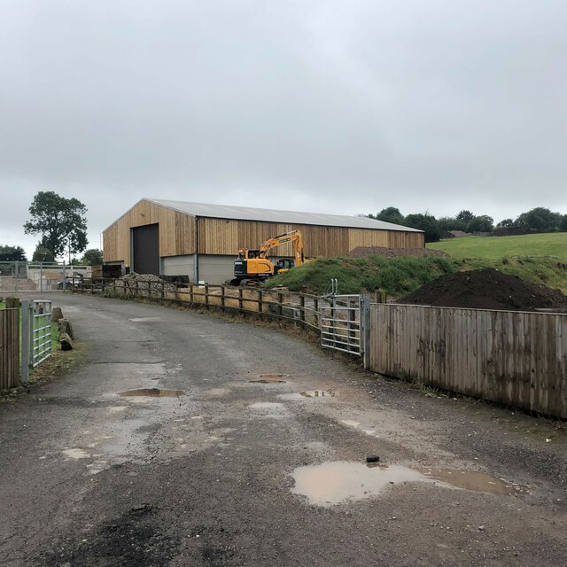
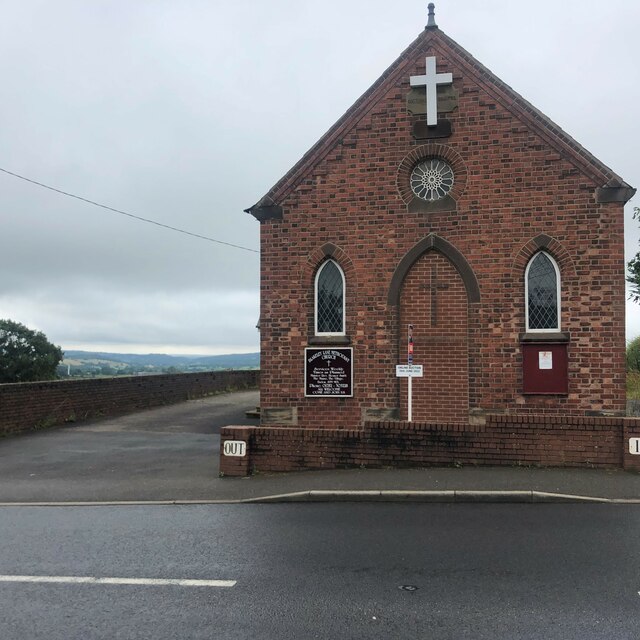
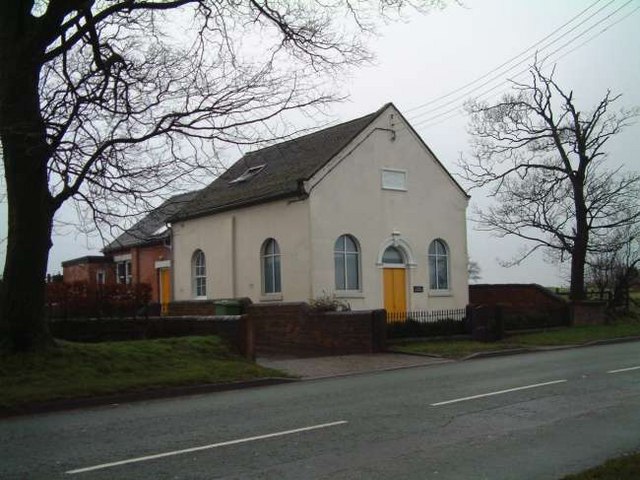
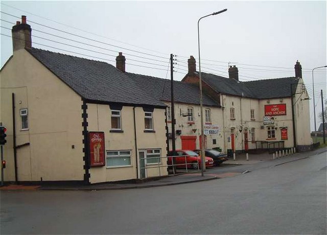
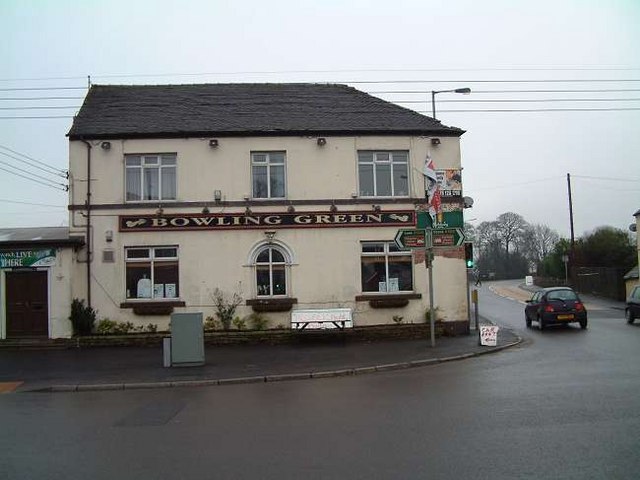
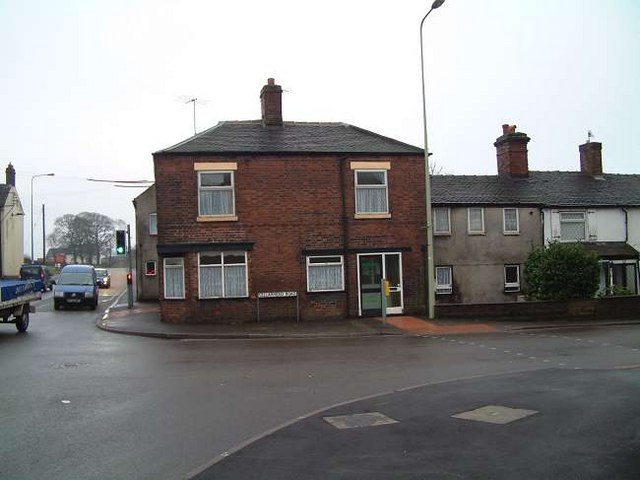
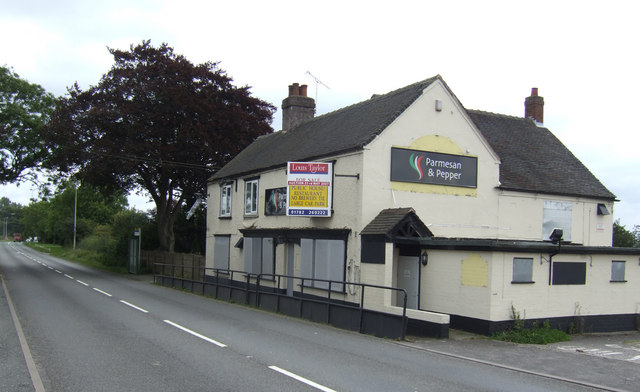
Blakeley Lane Images

Images are sourced within 2km of 53.020811/-2.040815 or Grid Reference SJ9747. Thanks to Geograph Open Source API. All images are credited.

A520 Cellarhead The view entering Cellarhead heading north on the Leek Road (A520).
A520 Cellarhead
The view entering Cellarhead heading north on the Leek Road (A520).
Barn at Oakley's Farm Storage for kiln-dried logs and garden buildings rather than animals
Barn at Oakley's Farm
Storage for kiln-dried logs and garden buildings rather than animals
Blakeley Lane Methodist Church Recently sold, so presumably no longer a church.
Blakeley Lane Methodist Church
Recently sold, so presumably no longer a church.
Highfields Roadside farmhouse on the A522 just south of Wetley Rocks
Highfields
Roadside farmhouse on the A522 just south of Wetley Rocks
Chapel Glassworks, Cellarhead Glassworks in a converted Primitive Methodist Chapel built in 1870.
Chapel Glassworks, Cellarhead
Glassworks in a converted Primitive Methodist Chapel built in 1870.
Hope and Anchor Public House, Cellarhead On the crossroads of Leek Road and Cellarhead Road.
Hope and Anchor Public House, Cellarhead
On the crossroads of Leek Road and Cellarhead Road.
Bowling Green Public House, Cellarhead On the opposite corner to The Hope and Anchor Pub:- <a title="https://www.geograph.org.uk/photo/340659" href="https://www.geograph.org.uk/photo/340659">Link</a>
Bowling Green Public House, Cellarhead
On the opposite corner to The Hope and Anchor Pub:- Link
Cottages at Cellarhead crossroads Where the Leek to Stone and Hanley to Cheadle roads cross is Cellarhead. 
The cottage shown to the left used to be a beer house "The Royal Oak" and opposite it was another called the Red Lion.
On the other side of the road still stand two public houses, the Bowling Green and The Hope and Anchor:-
<a title="https://www.geograph.org.uk/photo/340659" href="https://www.geograph.org.uk/photo/340659">Link</a> 
<a title="https://www.geograph.org.uk/photo/340662" href="https://www.geograph.org.uk/photo/340662">Link</a>

Four corners at the crossroads and four pubs!!
Cottages at Cellarhead crossroads
Where the Leek to Stone and Hanley to Cheadle roads cross is Cellarhead. The cottage shown to the left used to be a beer house "The Royal Oak" and opposite it was another called the Red Lion. On the other side of the road still stand two public houses, the Bowling Green and The Hope and Anchor:- Link Link Four corners at the crossroads and four pubs!!
Bank Top Farm
Bank Top Farm
Little Bank Top Farm
Junction of Tickhill Lane and Bank Top Road
Blakeley Lane Methodist Church Blakeley Lane Methodist Church is part of the Cheadle Circuit
Blakeley Lane Methodist Church
Blakeley Lane Methodist Church is part of the Cheadle Circuit
Richmoorhill Farm
Richmoorhill Farm
Summerhill House
Summerhill House
Lower Farm, Consall
Lower Farm, Consall
Cottages, Consall
Cottages, Consall
Near Wetley Rocks
Near Wetley Rocks
The ex-Wagon and Horses This pub by the A52 at Greenhead may have been taken over by a restaurant business "Parmesan and Pepper" based in Chorley, Lancashire.
The ex-Wagon and Horses
This pub by the A52 at Greenhead may have been taken over by a restaurant business "Parmesan and Pepper" based in Chorley, Lancashire.
Show me another place!

Blakeley Lane is located at Grid Ref: SJ9747 (Lat: 53.020811, Lng: -2.040815)

Administrative County: Staffordshire

District: Staffordshire Moorlands

Police Authority: Staffordshire

What 3 Words

///newspaper.dentistry.manual. Near Cheddleton, Staffordshire

Related Wikis

Consall

Consall is a small village situated in the Staffordshire Moorlands, Staffordshire, England. It is approximately 6 miles south of the market town of Leek...

Moorside High School, Werrington

Moorside High School is a coeducational secondary school located in Werrington, Staffordshire. == History == The school was opened in 1939 under the name...

Wetley Rocks

Wetley Rocks is a village in Staffordshire, England, about 2 miles (3.2 km) south of Cheddleton and 6 miles (9.7 km) south of Leek. For population details...

Dilhorne Park railway station

Dilhorne Park railway station is a heritage railway station in Staffordshire on the Foxfield Railway. The station is a halt set in woodland, and at 760...

Nearby Amenities

Located within 500m of 53.020811,-2.040815
Bus Stop
Consall Scout Camp
Bus: yes
Naptan AtcoCode: 3800C838400
Naptan Bearing: NW
Naptan CommonName: Consall Scout Camp
Naptan Indicator: opp
Naptan PlusbusZoneRef: STOKEOT
Naptan Street: Kingsley Road
Naptan Verified: no
Public Transport: platform
Source: naptan_import
Lat/Long: 53.0201557/-2.0357935
Bus Stop
No. 1 East View
Bus: yes
Naptan AtcoCode: 3800C838401
Naptan Bearing: SE
Naptan CommonName: No. 1 East View
Naptan Indicator: Adj
Naptan Landmark: Blakeley Ln Farm
Naptan PlusbusZoneRef: STOKEOT
Naptan Street: Kingsley Rd (A52)
Naptan Verified: no
Public Transport: platform
Source: naptan_import
Lat/Long: 53.02012/-2.0348841
Bus Stop
Leek Road
Naptan AtcoCode: 3800C854302
Naptan Bearing: W
Naptan CommonName: Leek Road
Naptan Indicator: Opp
Naptan Landmark: Richmore Hall
Naptan PlusbusZoneRef: STOKEOT
Naptan Street: Kingsley Rd
Naptan Verified: no
Source: naptan_import
Lat/Long: 53.0213946/-2.0411018
Direction: 315
Maxspeed: 40 mph
Traffic Sign: maxspeed
Lat/Long: 53.0216174/-2.0423075
Direction: 315
Maxspeed: 40 mph
Traffic Sign: maxspeed
Lat/Long: 53.0216963/-2.0421487
Direction: 135
Maxspeed: national
Traffic Sign: maxspeed
Lat/Long: 53.0216843/-2.0421323
Direction: 135
Maxspeed: national
Traffic Sign: maxspeed
Lat/Long: 53.0216075/-2.0422955
Direction: 0
Maxspeed: national
Traffic Sign: maxspeed
Lat/Long: 53.0210749/-2.0480128
Direction: 180
Maxspeed: 40 mph
Traffic Sign: maxspeed
Lat/Long: 53.0210636/-2.0480149
Direction: both
Maxspeed: 40 mph
Traffic Sign: maxspeed
Lat/Long: 53.0213777/-2.0418247
Bus Stop
Bus: yes
Departures Board: no
Public Transport: platform
Shelter: no
Lat/Long: 53.02098/-2.038528
Direction: both
Maxspeed: 40 mph
Traffic Sign: maxspeed
Lat/Long: 53.0207857/-2.0378534
The data included in this document is from www.openstreetmap.org. The data is made available under ODbL.

Have you been to Blakeley Lane?

Leave your review of Blakeley Lane below (or comments, questions and feedback).