Blakeley

Settlement in Staffordshire South Staffordshire

England

Blakeley

Railway Path The south staffordshire railway walk near Himley.
Railway Path Credit: Gordon Griffiths

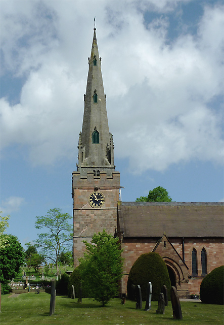
Blakeley is a small village located in Staffordshire, England. Situated approximately 6 miles to the east of the county town of Stafford, it lies on the outskirts of Cannock Chase, an area of outstanding natural beauty. With a population of around 500 residents, Blakeley offers a peaceful and idyllic countryside setting.

The village is characterized by its traditional buildings, many of which date back several centuries. Its picturesque landscape is dotted with quaint cottages, farmhouses, and a charming village pub, which serves as a focal point for the local community. The surrounding countryside provides ample opportunities for outdoor activities, including walking, cycling, and horse riding.

Despite its rural location, Blakeley benefits from good transport links, with the A51 road passing nearby, connecting it to Stafford and other major towns in the region. The village is also served by regular bus services, enabling residents to easily access amenities and services in nearby towns.

While Blakeley may lack some of the amenities found in larger towns, it boasts a strong sense of community spirit. The village organizes various events throughout the year, including a summer fĂȘte and a Christmas market, bringing residents together and fostering a close-knit atmosphere.

Overall, Blakeley offers a peaceful and picturesque retreat for those seeking a rural lifestyle, while still providing convenient access to nearby towns and the natural beauty of Cannock Chase.

If you have any feedback on the listing, please let us know in the comments section below.
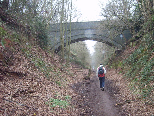
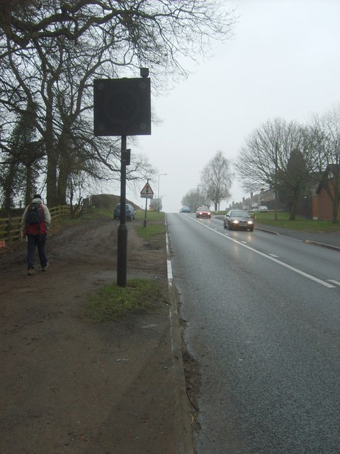
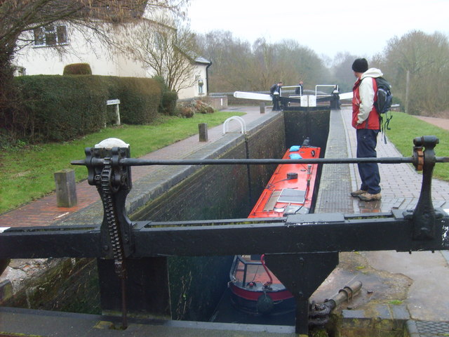
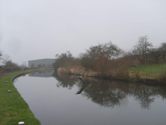
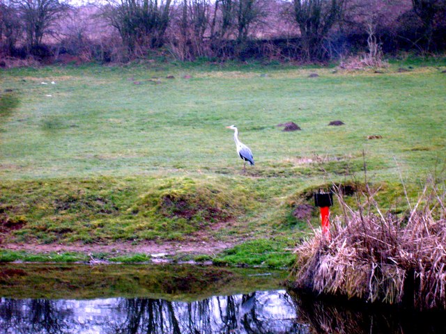
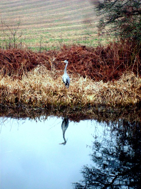
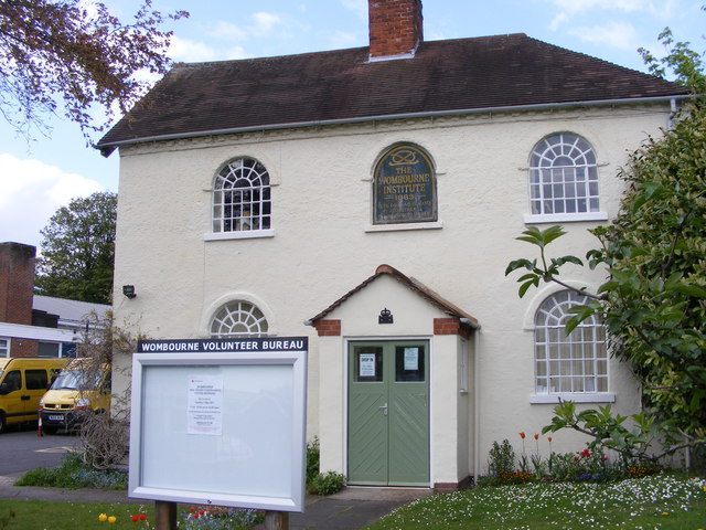
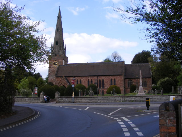
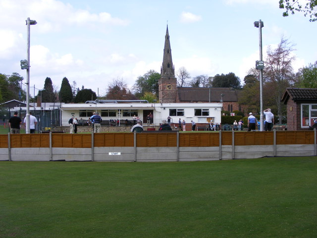
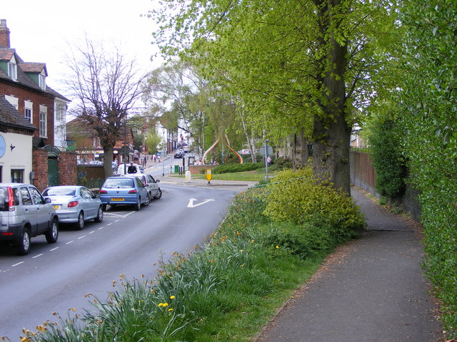
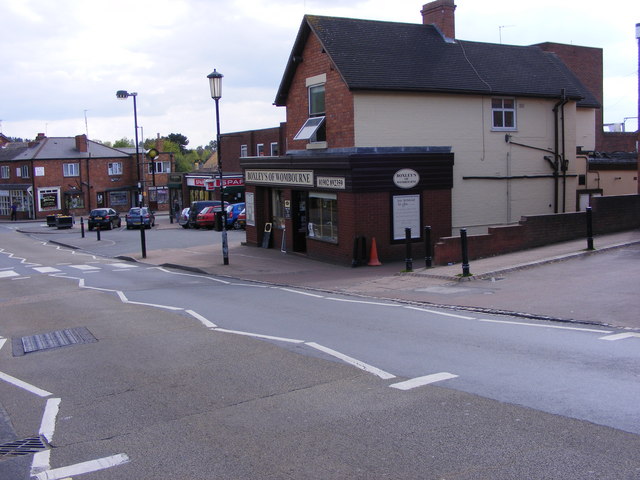
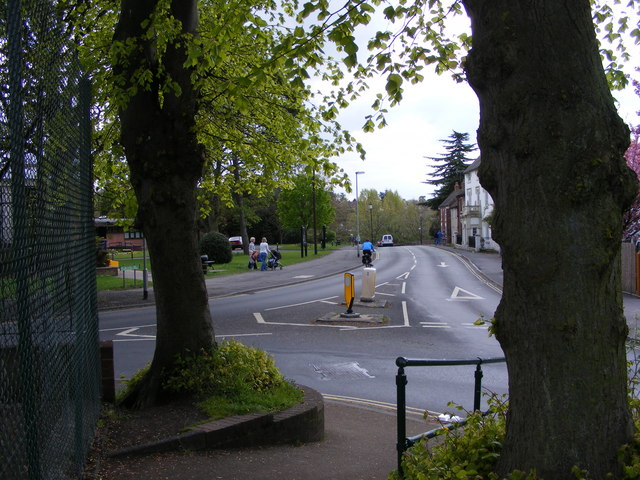
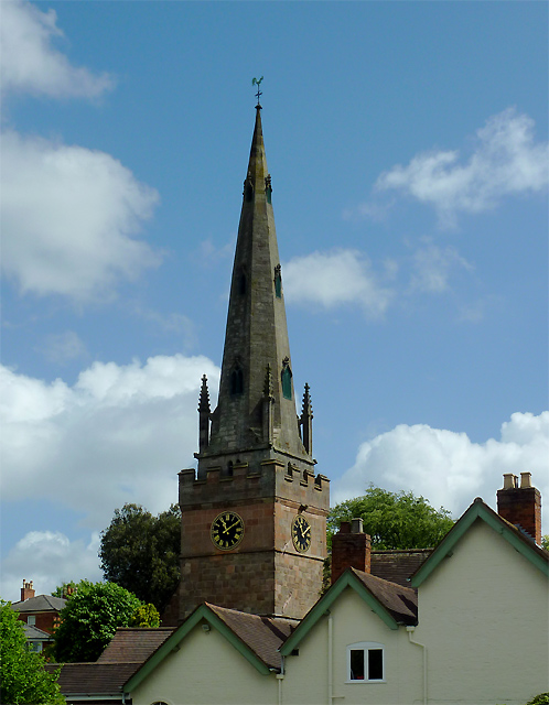
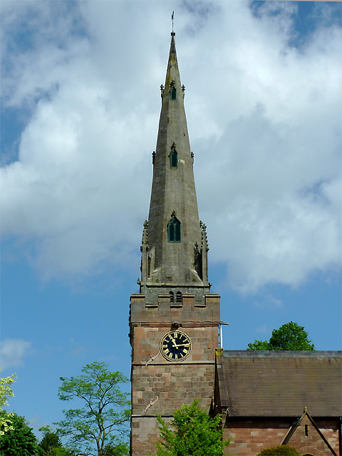
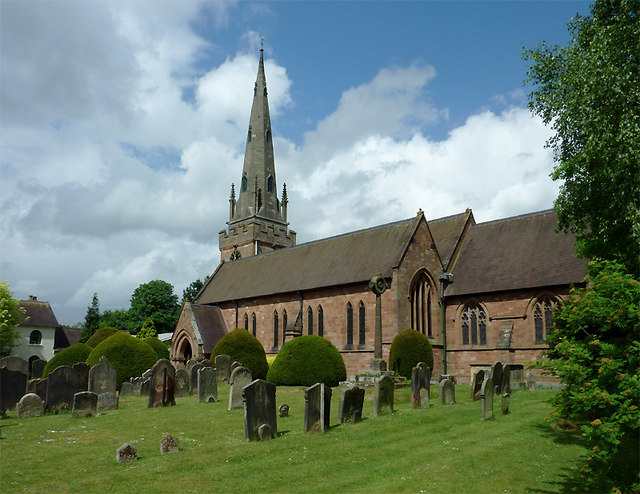
Blakeley Images

Images are sourced within 2km of 52.528028/-2.191299 or Grid Reference SO8792. Thanks to Geograph Open Source API. All images are credited.

Railway Path The south staffordshire railway walk near Himley.
Railway Path
The south staffordshire railway walk near Himley.
Bridgnorth Road View The B4176 at Himley.
Bridgnorth Road View
The B4176 at Himley.
Botterham Lane Site The Wombourne waste recycling site.
Botterham Lane Site
The Wombourne waste recycling site.
Botterham Top Lock The narrowboat is lowered in the staircase of the Staffordshire and Worcestershire canal near Swindon.
Botterham Top Lock
The narrowboat is lowered in the staircase of the Staffordshire and Worcestershire canal near Swindon.
Flight of a Heron The bird flies across the Staffordshire and Worcestershire Canal near the Botterham Locks.
Flight of a Heron
The bird flies across the Staffordshire and Worcestershire Canal near the Botterham Locks.
Heron View The view alongside the Staffordshire and Worcestershire Canal at Swindon.
Heron View
The view alongside the Staffordshire and Worcestershire Canal at Swindon.
Heron Reflection The view alongside the Staffordshire and Worcestershire Canal at Swindon.
Heron Reflection
The view alongside the Staffordshire and Worcestershire Canal at Swindon.
Wombourne Institute The 1863 Institute in Church Road stands next to St Benedict Church overlooking the Staffordshire Village Green.
Wombourne Institute
The 1863 Institute in Church Road stands next to St Benedict Church overlooking the Staffordshire Village Green.
Wombourne Church The St Benedict Biscop Church stands in Church Road overlooking the Village Green.
Wombourne Church
The St Benedict Biscop Church stands in Church Road overlooking the Village Green.
Green on the Green Wombourne Bowls Club stands on the Staffordshire Village Green, with St Benedict's Church in the background.
Green on the Green
Wombourne Bowls Club stands on the Staffordshire Village Green, with St Benedict's Church in the background.
Wombourne Path The view up Maypole Street alongside the Staffordshire Village Green.
Wombourne Path
The view up Maypole Street alongside the Staffordshire Village Green.
Wombourne Butchers The view of Boxley's of Wombourne in Windmill Bank near the Staffordshire Village Green.
Wombourne Butchers
The view of Boxley's of Wombourne in Windmill Bank near the Staffordshire Village Green.
Maypole and Street The view in Maypole Street Wombourne near the Staffordshire Village Green.
Maypole and Street
The view in Maypole Street Wombourne near the Staffordshire Village Green.
Wombourne View The view of Gravel Hill from the corner of the Staffordshire Village Green.
Wombourne View
The view of Gravel Hill from the corner of the Staffordshire Village Green.
The spire of St Benedict Biscop Church at Wombourne, Staffordshire In 1840 nearly all the then existing medieval church was demolished. The 14th century tower with its recessed stone spire was retained. The 1840 rebuild was itself taken down, and the present fine structure replaced it in 1867 - again retaining the original 14th century tower and spire.
The spire of St Benedict Biscop Church at Wombourne, Staffordshire
In 1840 nearly all the then existing medieval church was demolished. The 14th century tower with its recessed stone spire was retained. The 1840 rebuild was itself taken down, and the present fine structure replaced it in 1867 - again retaining the original 14th century tower and spire.
St Benedict Biscop Church in Wombourne, Staffordshire In 1840 nearly all the then existing medieval church was demolished. The 14th century tower with its recessed stone spire was retained. The 1840 rebuild was itself taken down, and the present fine structure replaced it in 1867 - again retaining the original 14th century tower and spire.
St Benedict Biscop Church in Wombourne, Staffordshire
In 1840 nearly all the then existing medieval church was demolished. The 14th century tower with its recessed stone spire was retained. The 1840 rebuild was itself taken down, and the present fine structure replaced it in 1867 - again retaining the original 14th century tower and spire.
St Benedict Biscop Church in Wombourne, Staffordshire In 1840 nearly all the then existing medieval church was demolished. The 14th century tower with its recessed stone spire was retained. The 1840 rebuild was itself taken down, and the present fine structure replaced it in 1867 - again retaining the original 14th century tower and spire.

<span class="nowrap"><a title="http://www.stbenedictbiscop.org.uk/" rel="nofollow ugc noopener" href="http://www.stbenedictbiscop.org.uk/">Link</a><img style="margin-left:2px;" alt="External link" title="External link - shift click to open in new window" src="https://s1.geograph.org.uk/img/external.png" width="10" height="10"/></span>
St Benedict Biscop Church in Wombourne, Staffordshire
In 1840 nearly all the then existing medieval church was demolished. The 14th century tower with its recessed stone spire was retained. The 1840 rebuild was itself taken down, and the present fine structure replaced it in 1867 - again retaining the original 14th century tower and spire. LinkExternal link
Show me another place!

Blakeley is located at Grid Ref: SO8792 (Lat: 52.528028, Lng: -2.191299)

Administrative County: Staffordshire

District: South Staffordshire

Police Authority: Staffordshire

What 3 Words

///vocab.pile.before. Near Wombourn, Staffordshire

Related Wikis

Wombourne

Wombourne is a village and civil parish located in the district of South Staffordshire, in the county of Staffordshire, England. It is 4 miles (6 km) south...
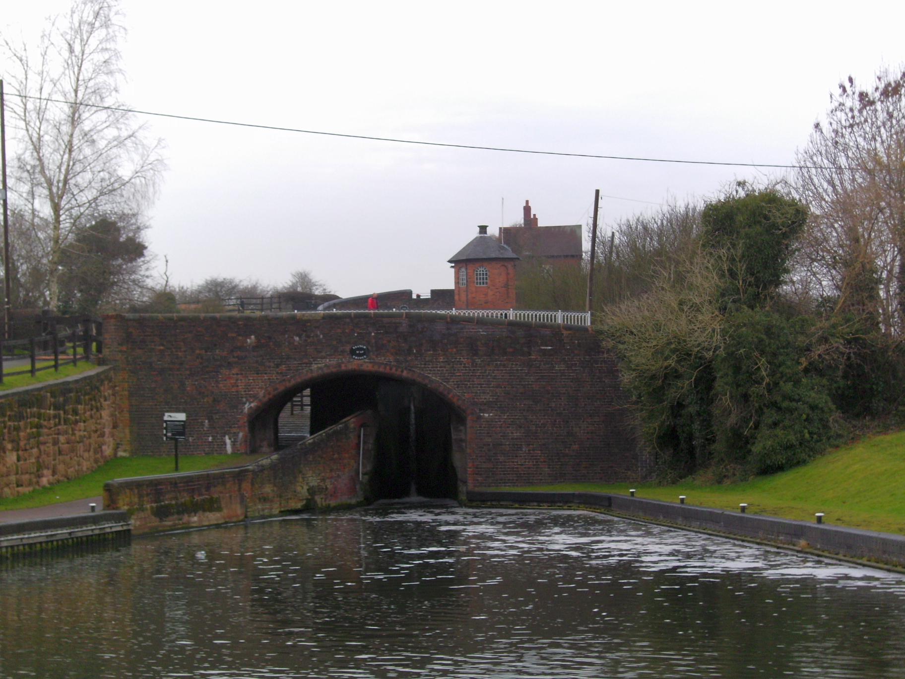
Wom Brook

The Wom Brook is a stream in South Staffordshire, England. It flows through the large village of Wombourne, and has played an important part in its industrial...

Wombourne High School

Wombourne High School (formerly Ounsdale High School) is a coeducational secondary school and sixth form located in Wombourne, Staffordshire, England....

Himley railway station

Himley was a station on the Wombourne Branch Line. Unlike other stops along the route, it was deemed worthy of full station status. It was opened by the...

Himley

Himley is a small village and civil parish in Staffordshire, England, 4 miles (6.4 km) west of Dudley and 5 mi (8.0 km) southwest of Wolverhampton. At...

Bratch

The Bratch is an area of Wombourne in South Staffordshire, England, noted for its industrial heritage and more recently as a way station for walkers, riders...

Wombourn railway station

Wombourn railway station was the main intermediate station on the Wombourne Branch Line, situated at the Bratch. It was opened by the Great Western Railway...

Swindon, Staffordshire

Swindon is a village and civil parish located in the West Midlands. The nearest major town is Dudley, approximately five miles eastwards. It stands halfway...

Nearby Amenities

Located within 500m of 52.528028,-2.191299
Traffic Calming: bump
Lat/Long: 52.5285462/-2.1934429
Traffic Calming: cushion
Lat/Long: 52.5293184/-2.1918464
Traffic Calming: cushion
Lat/Long: 52.5265415/-2.1950859
Bus Stop
Redhill Avenue
Bus: yes
Naptan AtcoCode: 3800C624201
Naptan Bearing: SW
Naptan CommonName: Redhill Avenue
Naptan Indicator: Opp
Naptan Landmark: Redhill Avenue
Naptan Street: Common Road
Naptan Verified: no
Public Transport: platform
Source: naptan_import
Lat/Long: 52.5303096/-2.189839
Bus Stop
Redhill Avenue
Bus: yes
Naptan AtcoCode: 3800C624202
Naptan Bearing: NE
Naptan CommonName: Giggetty Lane
Naptan Indicator: Adj
Naptan Landmark: Giggetty Lane
Naptan Street: Common Road
Naptan Verified: no
Public Transport: platform
Source: naptan_import
Lat/Long: 52.5302099/-2.1902955
Bus Stop
Sytch Lane
Bus: yes
Naptan AtcoCode: 3800C624301
Naptan Bearing: NE
Naptan CommonName: Giggetty Lane
Naptan Indicator: Adj
Naptan Landmark: Giggetty Lane
Naptan Street: Common Road
Naptan Verified: no
Public Transport: platform
Source: naptan_import
Lat/Long: 52.5283699/-2.1940023
Bus Stop
Sytch Lane
Bus: yes
Naptan AtcoCode: 3800C624302
Naptan Bearing: N
Naptan CommonName: Wombourne Methodist Church
Naptan Indicator: Adj
Naptan Landmark: Park Avenue
Naptan Street: Common Road
Naptan Verified: no
Public Transport: platform
Source: naptan_import
Lat/Long: 52.5271324/-2.1947013
Power Historic: tower
Source: OS 1:25k
Lat/Long: 52.5282514/-2.1966831
Post Office
Blakeley Post Office
Addr City: Wolverhampton
Addr Housename: The Post Office
Addr Postcode: WV5 0AW
Addr Street: Giggetty Lane
Addr Village: Wombourne
Brand: Post Office
Brand Wikidata: Q1783168
Opening Hours: Mo-Sa 08:00-18:00
Ref Pol Id: 3127
Source: OS OpenData StreetView
Website: https://www.postoffice.co.uk/branch-finder/154246x/blakeley
Wheelchair: no
Lat/Long: 52.5280476/-2.1946125
Turning Circle
Lat/Long: 52.5323204/-2.1906634
Turning Circle
Lat/Long: 52.5282748/-2.1908223
Turning Circle
Lat/Long: 52.5263511/-2.191512
Parking
Lat/Long: 52.5265794/-2.1949046
Fast Food
Hong Kong Chinese Take Away
Cuisine: chinese
Lat/Long: 52.526983/-2.1947303
Bromleys
Shop: butcher
Lat/Long: 52.5279294/-2.1945801
Barbershop
Shop: hairdresser
Lat/Long: 52.5267121/-2.1947343
JRK Computer Supplies
Shop: computer
Lat/Long: 52.5265995/-2.1947705
Parking
Fee: no
Lat/Long: 52.5280991/-2.1944406
Fast Food
Balti Hut
Lat/Long: 52.5268312/-2.1950588
Fast Food
Wombourne Take Away
Addr Street: Common Road, Wombourne WV5
Cuisine: fish_and_chips
Toilets Wheelchair: no
Wheelchair: limited
Lat/Long: 52.5270277/-2.1947066
Traffic Calming: cushion
Lat/Long: 52.5270197/-2.1948363
Traffic Calming: cushion
Lat/Long: 52.5277212/-2.1944717
Crossing
Crossing: uncontrolled
Lat/Long: 52.5280501/-2.1942835
Traffic Calming: cushion
Lat/Long: 52.5282274/-2.1941418
Traffic Calming: cushion
Lat/Long: 52.5288233/-2.1927074
Turning Circle
Lat/Long: 52.5316887/-2.1904352
Crossing
Crossing: uncontrolled
Source: bing
Lat/Long: 52.5282447/-2.1944966
Cafe
Country Cuppa
Lat/Long: 52.5266773/-2.1947457
Wombourne Funeral Services
Shop: funeral_directors
Lat/Long: 52.5265614/-2.1947899
Niche
Shop: florist
Lat/Long: 52.5265231/-2.1948114
Sniffers Dog Grooming
Shop: pet
Lat/Long: 52.5266838/-2.1951279
Wombourne Dry Cleaners
Shop: dry_cleaning
Lat/Long: 52.5264733/-2.1948114
Post Box
Source: visual survey
Lat/Long: 52.5263187/-2.194739
Providence Engraving
Shop: gift
Lat/Long: 52.527977/-2.1945646
Post Box
Collection Times: Mo-Fr 09:00; Sa 07:00
Ref: WV5 114D
Lat/Long: 52.5281916/-2.1945901
Motorcare
Shop: car_parts
Lat/Long: 52.526634/-2.1947564
Bus Stop
Bridgnorth Road
Bus: yes
Naptan AtcoCode: 3800C623502
Naptan NaptanCode: stagagtj
Naptan Verified: no
Public Transport: platform
Source: naptan
Lat/Long: 52.524598/-2.1960148
Generator Method: photovoltaic
Generator Output Electricity: yes
Generator Source: solar
Generator Type: solar_photovoltaic_panel
Location: roof
Power: generator
Lat/Long: 52.5254452/-2.196642
Generator Method: photovoltaic
Generator Output Electricity: yes
Generator Source: solar
Generator Type: solar_photovoltaic_panel
Location: roof
Power: generator
Lat/Long: 52.5246497/-2.1955919
Generator Method: photovoltaic
Generator Output Electricity: yes
Generator Source: solar
Generator Type: solar_photovoltaic_panel
Location: roof
Power: generator
Lat/Long: 52.5244253/-2.1917912
Generator Method: photovoltaic
Generator Output Electricity: yes
Generator Source: solar
Generator Type: solar_photovoltaic_panel
Location: roof
Power: generator
Lat/Long: 52.525575/-2.1910523
Generator Method: photovoltaic
Generator Output Electricity: yes
Generator Source: solar
Generator Type: solar_photovoltaic_panel
Location: roof
Power: generator
Lat/Long: 52.5297491/-2.1873844
Generator Method: photovoltaic
Generator Output Electricity: yes
Generator Source: solar
Generator Type: solar_photovoltaic_panel
Location: roof
Power: generator
Lat/Long: 52.5314452/-2.1873629
Generator Method: photovoltaic
Generator Output Electricity: yes
Generator Source: solar
Generator Type: solar_photovoltaic_panel
Location: roof
Power: generator
Lat/Long: 52.5315766/-2.1883111
Generator Method: photovoltaic
Generator Output Electricity: yes
Generator Source: solar
Generator Type: solar_photovoltaic_panel
Location: roof
Power: generator
Lat/Long: 52.5282691/-2.1933952
The data included in this document is from www.openstreetmap.org. The data is made available under ODbL.

Have you been to Blakeley?

Leave your review of Blakeley below (or comments, questions and feedback).