Chesterton
Civil Parish in Oxfordshire Cherwell
England
Chesterton

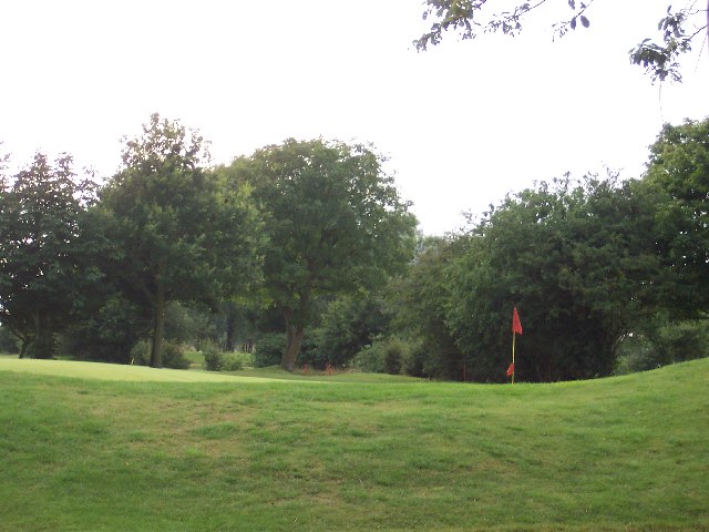
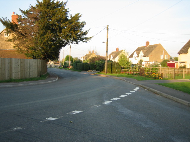
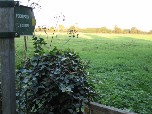
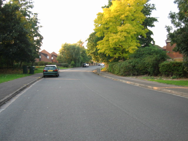
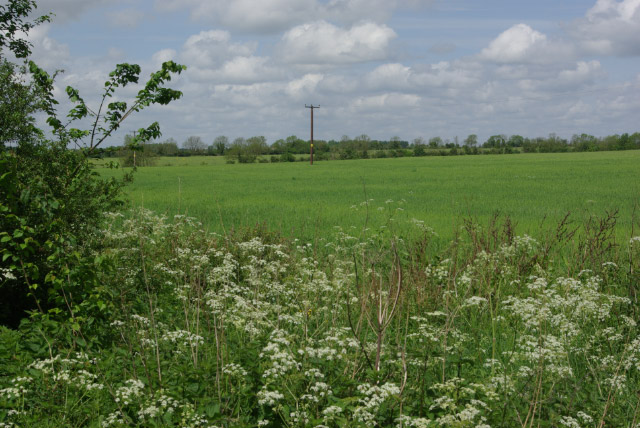
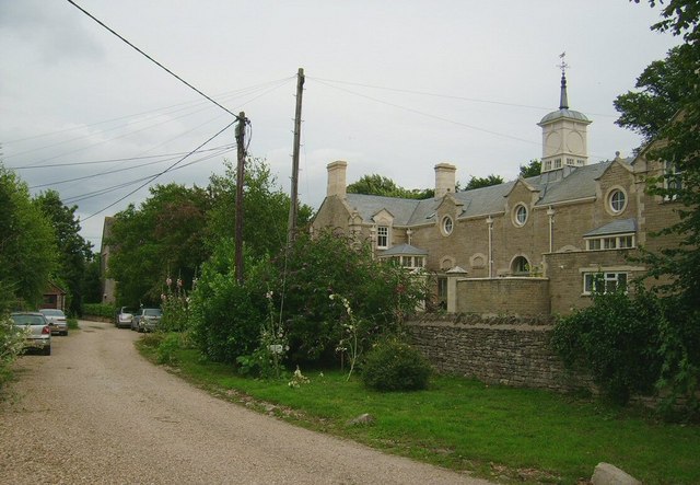
Chesterton is a small civil parish located in Oxfordshire, England. Situated approximately 6 miles northwest of the city of Oxford, it covers an area of about 2.4 square miles. The parish is predominantly rural, characterized by picturesque countryside landscapes and charming villages.
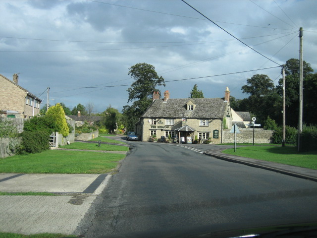
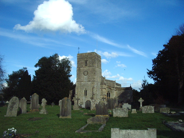
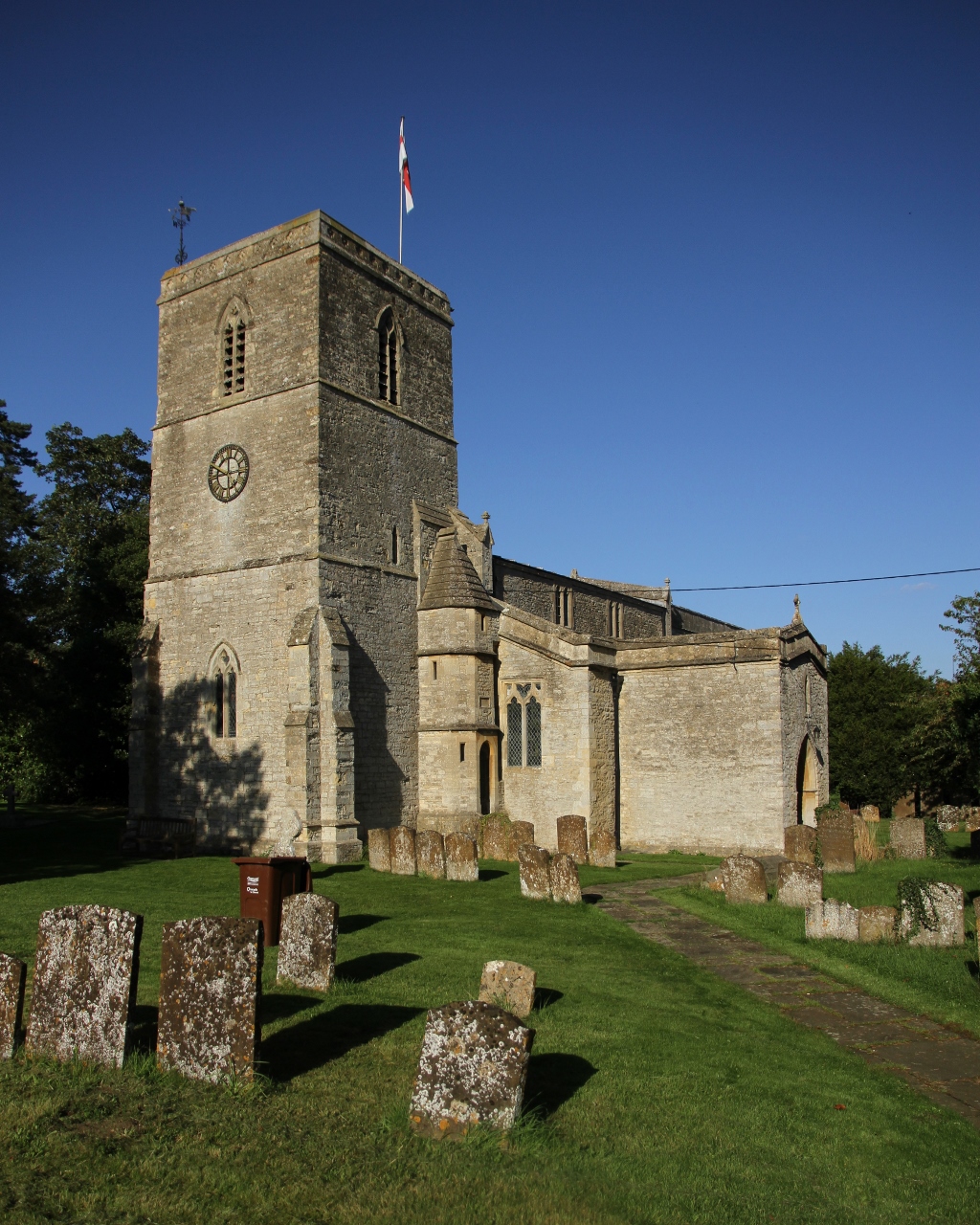
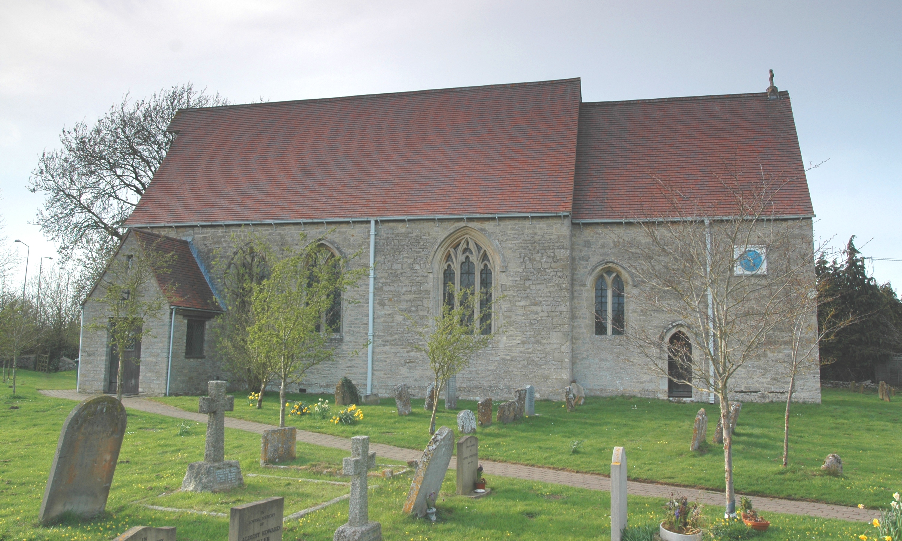
The village of Chesterton itself is centered around St. Mary's Church, which dates back to the 12th century and still holds regular services. The village also features a few traditional thatched cottages, giving it a quintessential English charm. The surrounding area is dotted with several other small settlements, including Oddington and Weston-on-the-Green.
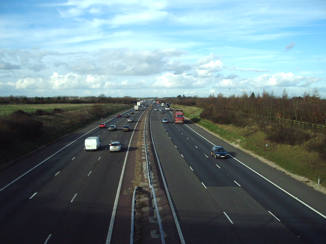
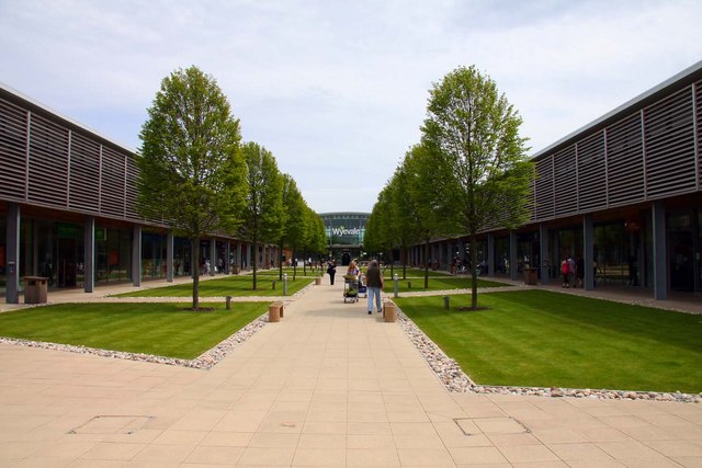
Despite its rural setting, Chesterton provides easy access to nearby amenities. The city of Oxford, with its renowned educational institutions, cultural attractions, and shopping and dining options, is just a short drive away. Additionally, the nearby Bicester Village, a luxury outlet shopping center, is a popular destination for residents and visitors alike.
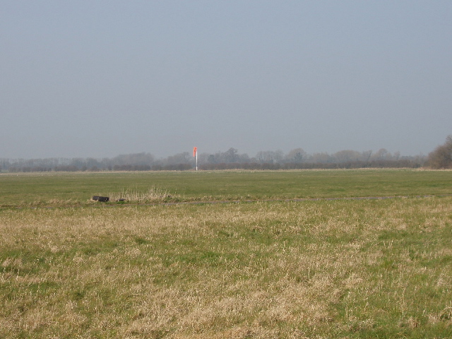
The parish is also known for its historical significance. The site of a former RAF Bomber Command station during World War II, the area played a role in the war effort. Today, remnants of the airfield can still be seen in the form of concrete runways and a control tower.
Chesterton offers a peaceful and idyllic setting, making it an attractive place to live for those seeking a rural lifestyle with easy access to nearby urban amenities.
If you have any feedback on the listing, please let us know in the comments section below.
Chesterton Images
Images are sourced within 2km of 51.892827/-1.201618 or Grid Reference SP5521. Thanks to Geograph Open Source API. All images are credited.


Chesterton is located at Grid Ref: SP5521 (Lat: 51.892827, Lng: -1.201618)
Administrative County: Oxfordshire
District: Cherwell
Police Authority: Thames Valley
What 3 Words
///collision.rebel.astounded. Near Bicester, Oxfordshire
Nearby Locations
Related Wikis
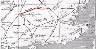
Akeman Street
Akeman Street is a Roman road in southern England between the modern counties of Hertfordshire and Gloucestershire. It is approximately 117 kilometres...
Chesterton, Oxfordshire
Chesterton is a village and civil parish on Gagle Brook, a tributary of the Langford Brook in north Oxfordshire. The village is about 1+1⁄2 miles (2.4...
RAF Weston-on-the-Green
RAF Weston-on-the-Green is a Royal Air Force station that was redeveloped after the Great War period. Much demolition took place (including the original...

Middleton Stoney
Middleton Stoney is a village and civil parish about 2+1⁄2 miles (4 km) west of Bicester, Oxfordshire. The 2011 Census recorded the parish's population...
Wendlebury
Wendlebury is a village and civil parish about 2 miles (3 km) southwest of Bicester and about 1⁄2 mile (800 m) from Junction 9 of the M40. Junction 9 is...
Bicester Avenue
Bicester Avenue Home and Garden Centre is a shopping centre in Bicester, Oxfordshire, England, that opened in May 2007. Some of the stores at Bicester...

Alchester (Roman town)
Alchester is the site of an ancient Roman town. The site is not included in any ancient references; hence, the Roman name is not known. However, Eilert...

Middleton Park, Oxfordshire
Middleton Park is a rural park in the parish of Middleton Stoney, Oxfordshire, England, about 2+1⁄2 miles (4 km) west of Bicester. The grounds are Grade...
Nearby Amenities
Located within 500m of 51.892827,-1.201618Have you been to Chesterton?
Leave your review of Chesterton below (or comments, questions and feedback).