Chesterton

Civil Parish in Huntingdonshire Huntingdonshire

England

Chesterton

Castor Mills A mid 19th century tower windmill and, behind left, an early 19th century water mill undergoing restoration  <span class="nowrap"><a title="https://historicengland.org.uk/listing/the-list/list-entry/1162635" rel="nofollow ugc noopener" href="https://historicengland.org.uk/listing/the-list/list-entry/1162635">Link</a><img style="margin-left:2px;" alt="External link" title="External link - shift click to open in new window" src="https://s1.geograph.org.uk/img/external.png" width="10" height="10"/></span>
Castor Mills Credit: Tim Heaton

Chesterton is a civil parish located in the county of Huntingdonshire, in the eastern part of England. It is situated approximately 4 miles northeast of the town of St. Neots and about 12 miles southwest of the city of Cambridge. The parish covers an area of around 1.7 square miles and is home to a population of approximately 400 residents.

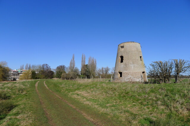
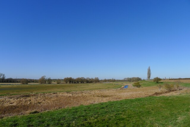
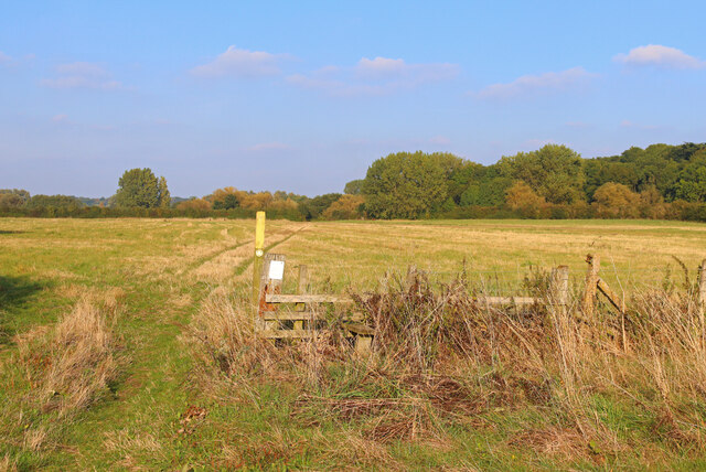
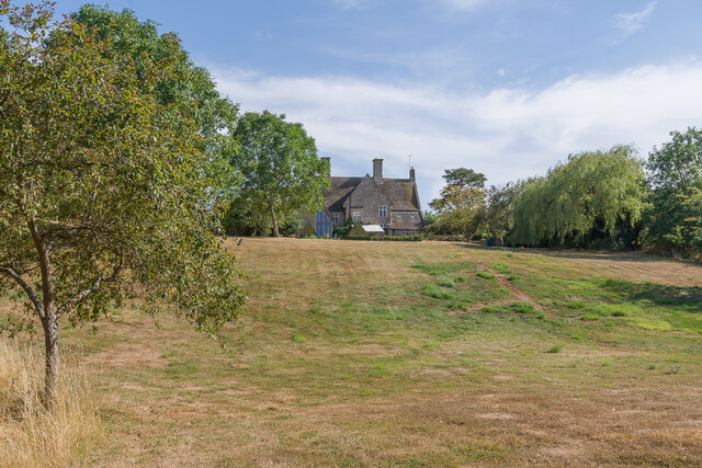
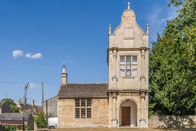
Chesterton is a rural village characterized by its picturesque countryside and charming village center. The area is primarily residential, with a mix of traditional cottages and modern houses. The village is surrounded by open fields and farmland, providing a tranquil and scenic environment.

The community in Chesterton is close-knit and friendly, with a sense of pride in their village. There is a small primary school within the parish, along with a village hall that serves as a central hub for social gatherings and community events.

Despite its rural setting, Chesterton benefits from good transport links. The village is situated close to the A428 road, providing easy access to nearby towns and cities. The railway station of St. Neots is also within close proximity, offering direct connections to London and other major cities.

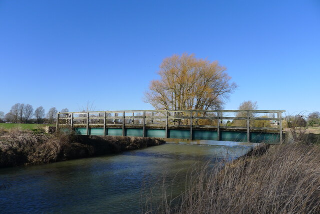
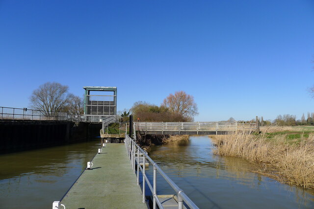
For amenities, residents can make use of the nearby facilities in St. Neots, including shops, supermarkets, restaurants, and leisure centers. The surrounding area offers opportunities for outdoor activities, such as walking, cycling, and exploring the beautiful Cambridgeshire countryside.

If you have any feedback on the listing, please let us know in the comments section below.
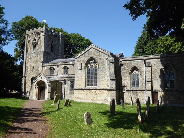
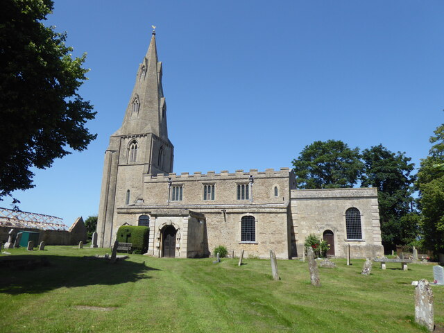
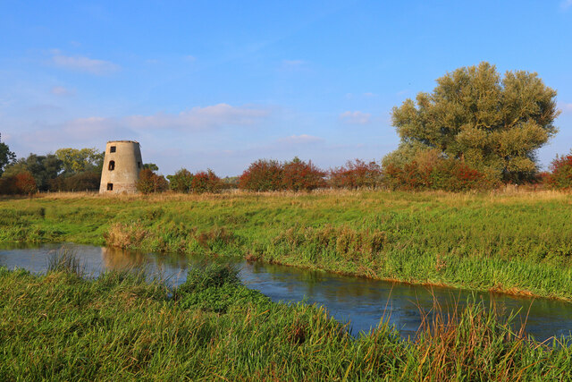
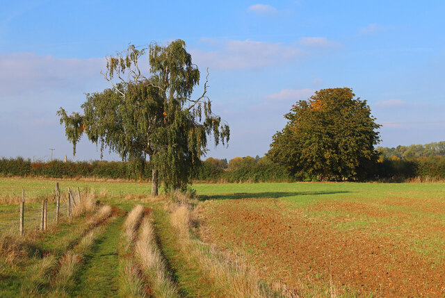
Chesterton Images

Images are sourced within 2km of 52.544859/-0.34426 or Grid Reference TL1295. Thanks to Geograph Open Source API. All images are credited.

Castor Mills A mid 19th century tower windmill and, behind left, an early 19th century water mill undergoing restoration  <span class="nowrap"><a title="https://historicengland.org.uk/listing/the-list/list-entry/1162635" rel="nofollow ugc noopener" href="https://historicengland.org.uk/listing/the-list/list-entry/1162635">Link</a><img style="margin-left:2px;" alt="External link" title="External link - shift click to open in new window" src="https://s1.geograph.org.uk/img/external.png" width="10" height="10"/></span>
Castor Mills
A mid 19th century tower windmill and, behind left, an early 19th century water mill undergoing restoration LinkExternal link
The Hereward Way crossing Back Dike The dike is a short, separate course of the Nene supplying Castor Mill. The small area of land to the left of the bridge, essentially an island between two courses of the river, is Nene Park's 'East Holmes' (see description for <a href="https://www.geograph.org.uk/photo/7110621">TL1097 : Footpath along West Holmes</a>)
The Hereward Way crossing Back Dike
The dike is a short, separate course of the Nene supplying Castor Mill. The small area of land to the left of the bridge, essentially an island between two courses of the river, is Nene Park's 'East Holmes' (see description for TL1097 : Footpath along West Holmes)
Alwalton Lock A common lock type on the Nene: a steel guillotine lock gate on the downstream side, and 'conventional' double 'V door', wooden gates upstream.
Alwalton Lock
A common lock type on the Nene: a steel guillotine lock gate on the downstream side, and 'conventional' double 'V door', wooden gates upstream.
The Nene flood plain west of Peterborough The Roman garrison town of Durobrivae used to sit on the far bank of the Nene, behind the line of trees  <span class="nowrap"><a title="https://en.wikipedia.org/wiki/Durobrivae_(Water_Newton)" rel="nofollow ugc noopener" href="https://en.wikipedia.org/wiki/Durobrivae_(Water_Newton)">Link</a><img style="margin-left:2px;" alt="External link" title="External link - shift click to open in new window" src="https://s1.geograph.org.uk/img/external.png" width="10" height="10"/></span>
The Nene flood plain west of Peterborough
The Roman garrison town of Durobrivae used to sit on the far bank of the Nene, behind the line of trees LinkExternal link
Alwalton, St Andrew
Alwalton, St Andrew
Chesterton, St Michael
Former Windmill Windmill near Castor on the River Nene.
Former Windmill
Windmill near Castor on the River Nene.
Footpath near the River Nene Sharp turn in the path near Castor.
Footpath near the River Nene
Sharp turn in the path near Castor.
Nene Way Footpath near Castor.
Nene Way
Footpath near Castor.
Arbroath Gardens Cul-de-sac off Loch Lomond Way, completed in 2005.
Arbroath Gardens
Cul-de-sac off Loch Lomond Way, completed in 2005.
Loch Fyne Close Cul-de-sac off Loch Lomond Way, completed in 2004.
Loch Fyne Close
Cul-de-sac off Loch Lomond Way, completed in 2004.
Loch Lomond Way Entrance to Loch Lomond Way serving an early 2000s estate.  Behind the fence on the right is the East of England Showground.
Loch Lomond Way
Entrance to Loch Lomond Way serving an early 2000s estate. Behind the fence on the right is the East of England Showground.
64 Innovation Way Office block near the entrance to the Peterborough Business Park, occupied by AB Agri, part of the Associated British Foods.
64 Innovation Way
Office block near the entrance to the Peterborough Business Park, occupied by AB Agri, part of the Associated British Foods.
Back Dike Side stream of the River Nene, seen here as it rejoins the main river.
Back Dike
Side stream of the River Nene, seen here as it rejoins the main river.
The Manor House 17th Century manor house with subsequent additions, set at the top of a lawn leading down to the River Nene.  Grade II* listed - see <span class="nowrap"><a title="https://historicengland.org.uk/listing/the-list/list-entry/1164628?section=official-list-entry" rel="nofollow ugc noopener" href="https://historicengland.org.uk/listing/the-list/list-entry/1164628?section=official-list-entry">Link</a><img style="margin-left:2px;" alt="External link" title="External link - shift click to open in new window" src="https://s1.geograph.org.uk/img/external.png" width="10" height="10"/></span>.
The Manor House
17th Century manor house with subsequent additions, set at the top of a lawn leading down to the River Nene. Grade II* listed - see LinkExternal link.
River Nene The River Nene as it flows past Alwalton.
River Nene
The River Nene as it flows past Alwalton.
Alwalton Lodge Early 19th Century lodge, reusing the 17th Century porch from the poet John Dryden's House in nearby Chesterton, since demolished.  It is now in the care of the Landmark Trust.  Grade II* listed - see <span class="nowrap"><a title="https://historicengland.org.uk/listing/the-list/list-entry/1130085?section=official-list-entry" rel="nofollow ugc noopener" href="https://historicengland.org.uk/listing/the-list/list-entry/1130085?section=official-list-entry">Link</a><img style="margin-left:2px;" alt="External link" title="External link - shift click to open in new window" src="https://s1.geograph.org.uk/img/external.png" width="10" height="10"/></span>.
Alwalton Lodge
Early 19th Century lodge, reusing the 17th Century porch from the poet John Dryden's House in nearby Chesterton, since demolished. It is now in the care of the Landmark Trust. Grade II* listed - see LinkExternal link.
Mill Lane Looking along Mill Lane to its junction with Church Street.  On the left is the former coach house and stables to the Old Rectory, built originally in c.1853.  Grade II listed - see <span class="nowrap"><a title="https://historicengland.org.uk/listing/the-list/list-entry/1317707?section=official-list-entry" rel="nofollow ugc noopener" href="https://historicengland.org.uk/listing/the-list/list-entry/1317707?section=official-list-entry">Link</a><img style="margin-left:2px;" alt="External link" title="External link - shift click to open in new window" src="https://s1.geograph.org.uk/img/external.png" width="10" height="10"/></span>.
Mill Lane
Looking along Mill Lane to its junction with Church Street. On the left is the former coach house and stables to the Old Rectory, built originally in c.1853. Grade II listed - see LinkExternal link.
Show me another place!

Chesterton is located at Grid Ref: TL1295 (Lat: 52.544859, Lng: -0.34426)

Administrative County: Cambridgeshire

District: Huntingdonshire

Police Authority: Cambridgeshire

What 3 Words

///broadcast.gambles.blankets. Near Castor, Cambridgeshire

Related Wikis

Chesterton, Huntingdonshire

Chesterton is a small village and civil parish of exactly 56 households in Cambridgeshire, England. The village lies approximately 5 miles (8 km) west...

Alwalton

Alwalton is a village and civil parish in Cambridgeshire, England. Alwalton lies approximately 5 miles (8 km) west of Peterborough city centre. Alwalton...

Durobrivae (Water Newton)

Durobrivae was a Roman fortified garrison town located at Water Newton in the English county of Cambridgeshire, where Ermine Street crossed the River Nene...

Greatest Hits Radio South

Greatest Hits Radio South is a regional radio station serving the South of England, as part of Bauer’s Greatest Hits Radio network. == Coverage == The...

East of England Showground

The East of England Showground is a large showground area (667,731sqm) located on East of England Way near Peterborough, Cambridgeshire, England. The Showground...

Castor Flood Meadows

Castor Flood Meadows is a 41.8-hectare (103-acre) biological Site of Special Scientific Interest on the western outskirts of Peterborough in Cambridgeshire...

A605 road

The A605 road is a main road in the English counties of Northamptonshire and Cambridgeshire. == Route (west to east) == The A605 strikes north from junction...

Nene Valley Railway

The Nene Valley Railway (NVR) is a preserved railway in Cambridgeshire, England, running between Peterborough Nene Valley and Yarwell Junction. The line...

Nearby Amenities

Located within 500m of 52.544859,-0.34426
Bus Stop
Priory Gardens
Bus: yes
Naptan AtcoCode: 0500HCHES001
Naptan Bearing: SW
Naptan BusStopType: CUS
Naptan CommonName: Priory Gardens
Naptan Indicator: opp
Naptan Landmark: Priory Gardens
Naptan NaptanCode: cmbdmtwt
Naptan ShortCommonName: Priory Gardens
Naptan Street: Oundle Road
Naptan Verified: no
Network: stagecoach
Operator: Stagecoach
Public Transport: platform
Source: naptan_import
Lat/Long: 52.5439195/-0.3384608
Bus Stop
Priory Gardens
Bus: yes
Naptan AtcoCode: 0500HCHES002
Naptan Bearing: NE
Naptan CommonName: Priory Gardens
Naptan Indicator: near
Naptan Landmark: Priory Gardens
Naptan NaptanCode: cmbdmwad
Naptan ShortCommonName: Priory Gardens
Naptan Street: Oundle Road
Naptan Verified: no
Network: stagecoach
Operator: Stagecoach
Public Transport: platform
Source: naptan_import
Lat/Long: 52.5438118/-0.3391137
Priory Gardens
Bus: yes
Network: stagecoach
Operator: Stagecoach
Public Transport: stop_position
Lat/Long: 52.5439614/-0.3385021
Chesterton
Place: village
Lat/Long: 52.5447145/-0.3369628
Post Box
Source: survey
Lat/Long: 52.5439678/-0.3387769
Priory Gardens
Bus: yes
Network: stagecoach
Operator: Stagecoach
Public Transport: stop_position
Lat/Long: 52.543753/-0.3390514
Barrier: yes
Lat/Long: 52.5422554/-0.3455503
The data included in this document is from www.openstreetmap.org. The data is made available under ODbL.

Have you been to Chesterton?

Leave your review of Chesterton below (or comments, questions and feedback).