Chesterton Belt
Wood, Forest in Oxfordshire Cherwell
England
Chesterton Belt
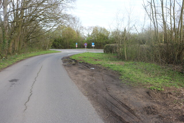
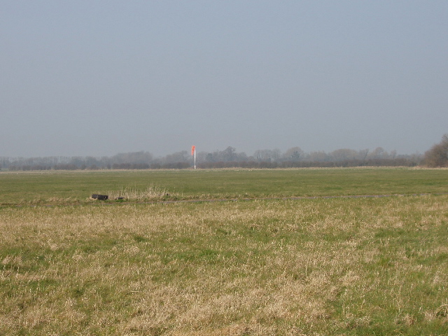
Chesterton Belt, located in Oxfordshire, England, is a picturesque wood and forest area known for its natural beauty and rich history. Spanning approximately 200 acres, this enchanting woodland is a haven for nature lovers and outdoor enthusiasts.
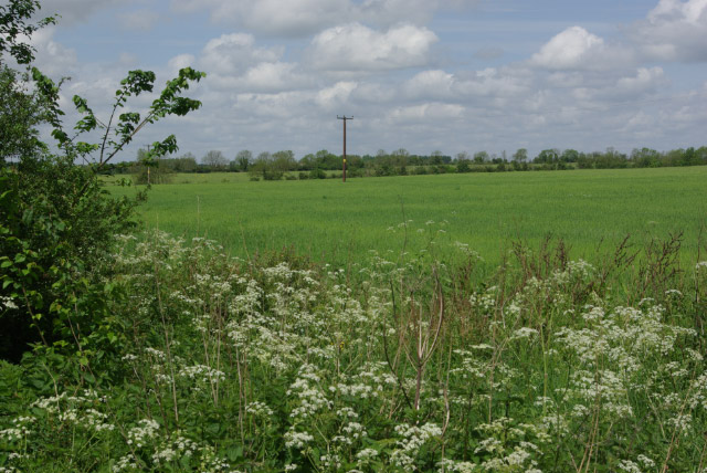
The woodland is characterized by its diverse range of trees, including oak, beech, and birch, creating a dense and lush canopy. The forest floor is carpeted with vibrant wildflowers and ferns, adding to the area's charm and tranquility. The Belt is also home to various wildlife species, such as deer, foxes, and an array of bird species, making it an ideal spot for wildlife enthusiasts and birdwatchers.
The history of Chesterton Belt is deeply rooted in the past, dating back centuries. It was once a royal hunting ground and has retained its natural beauty and ancient charm. Evidence of this can be seen in the well-preserved remains of medieval hunting lodges and earthworks scattered throughout the area.
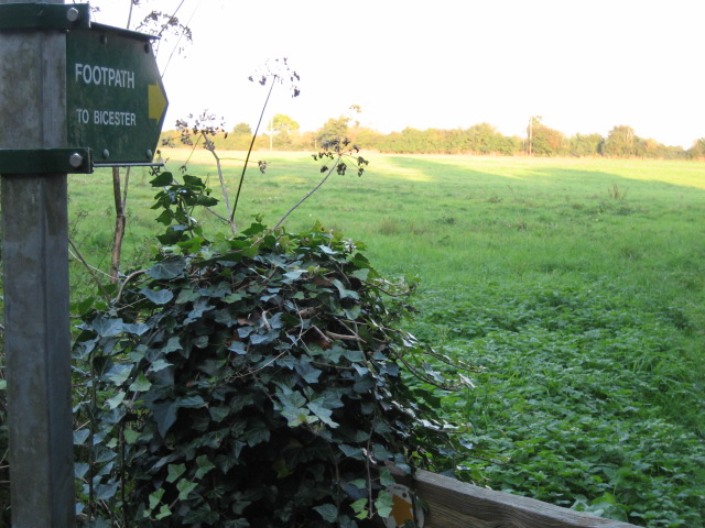
The woodland offers a range of recreational activities for visitors, including walking trails, cycling routes, and picnic spots. There are well-marked paths that meander through the forest, allowing visitors to explore its hidden treasures at their own pace. The peaceful atmosphere and stunning scenery make it a popular destination for families, hikers, and nature photographers alike.
Chesterton Belt, with its combination of natural splendor and historical significance, offers a unique and memorable experience for anyone seeking solace in the great outdoors.
If you have any feedback on the listing, please let us know in the comments section below.
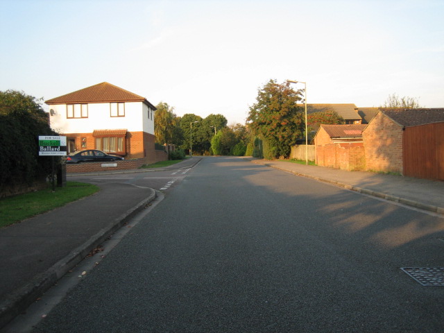
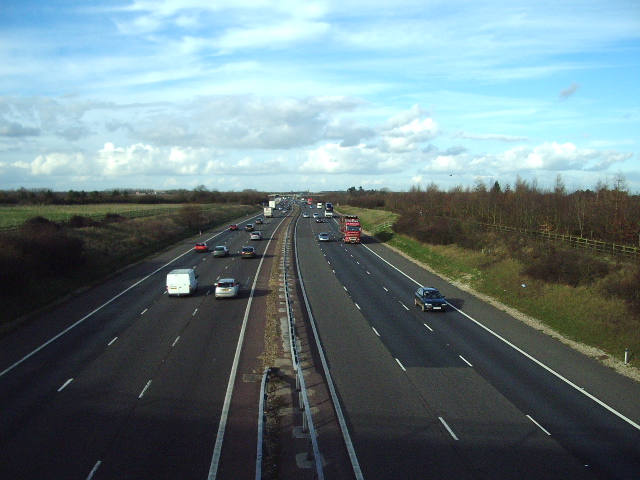
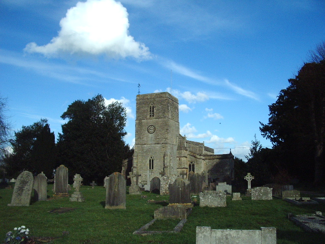
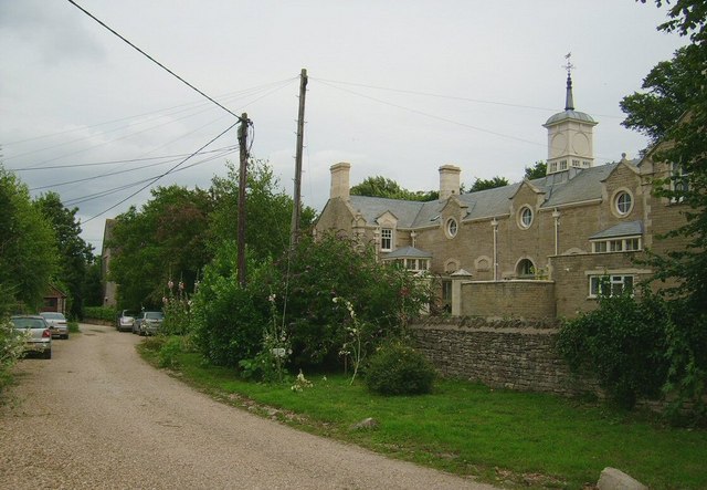
Chesterton Belt Images
Images are sourced within 2km of 51.891958/-1.1943405 or Grid Reference SP5521. Thanks to Geograph Open Source API. All images are credited.


Chesterton Belt is located at Grid Ref: SP5521 (Lat: 51.891958, Lng: -1.1943405)
Administrative County: Oxfordshire
District: Cherwell
Police Authority: Thames Valley
What 3 Words
///widen.nylon.they. Near Bicester, Oxfordshire
Nearby Locations
Related Wikis
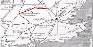
Akeman Street
Akeman Street is a Roman road in southern England between the modern counties of Hertfordshire and Gloucestershire. It is approximately 117 kilometres...
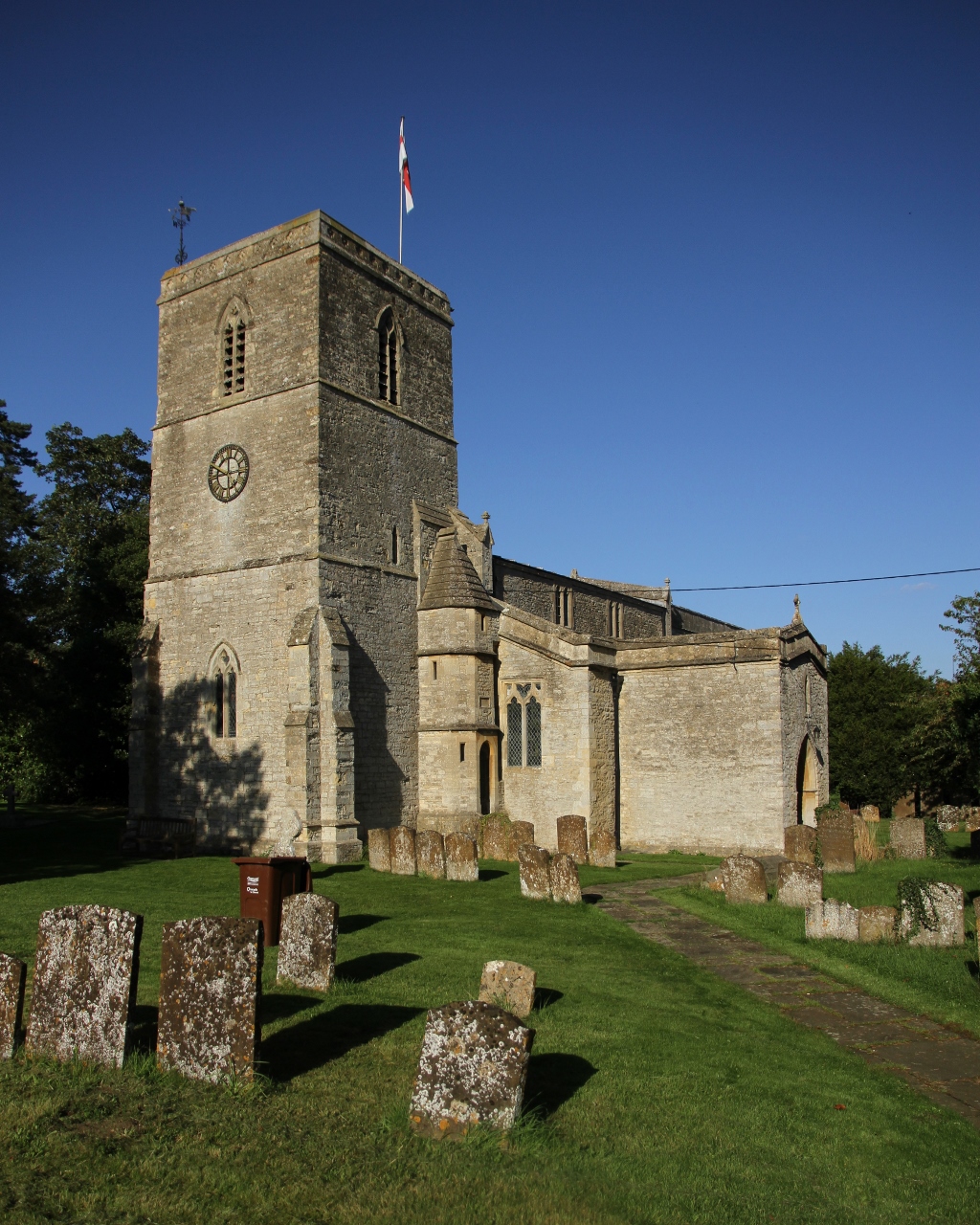
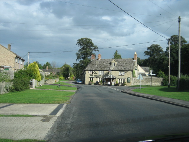
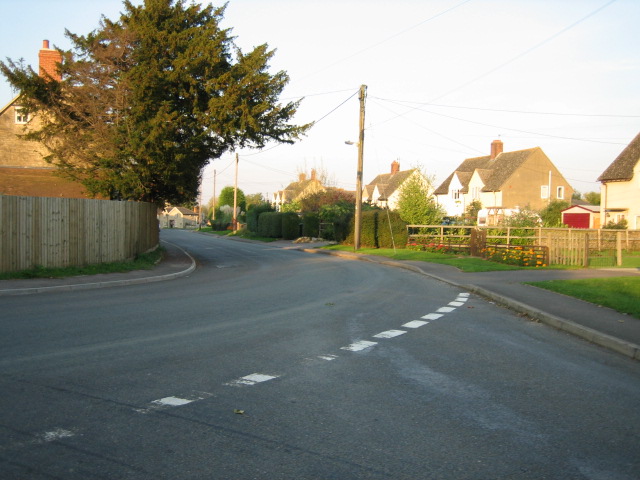
Chesterton, Oxfordshire
Chesterton is a village and civil parish on Gagle Brook, a tributary of the Langford Brook in north Oxfordshire. The village is about 1+1⁄2 miles (2.4...

Bicester Avenue
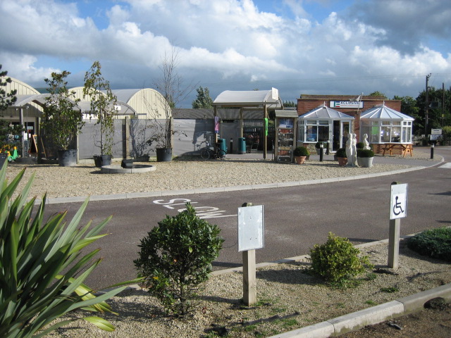
Bicester Avenue Home and Garden Centre is a shopping centre in Bicester, Oxfordshire, England, that opened in May 2007. Some of the stores at Bicester...

Alchester (Roman town)
Alchester is the site of an ancient Roman town. The site is not included in any ancient references; hence, the Roman name is not known. However, Eilert...
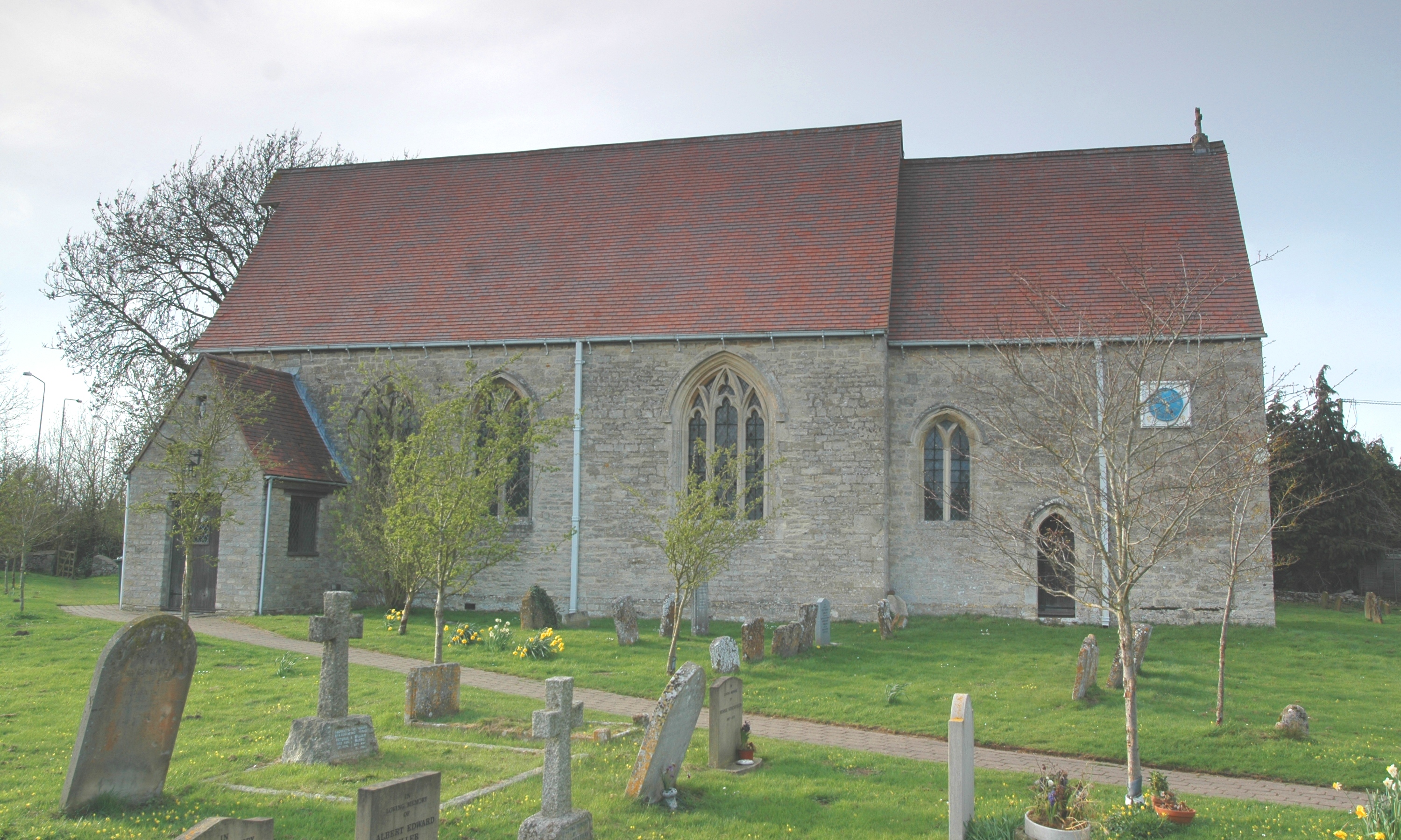
Wendlebury
Wendlebury is a village and civil parish about 2 miles (3 km) southwest of Bicester and about 1⁄2 mile (800 m) from Junction 9 of the M40. Junction 9 is...
Wendlebury Halt railway station
Wendlebury Halt was a railway station on the Varsity Line, located 0.5 miles (800 m) east of the village of Wendlebury in Alchester. The London and North...
The Bicester School
The Bicester School (previously Bicester Community College) is a mixed, multi-heritage, secondary school, with 963 students (including a sixth form). It...
RAF Weston-on-the-Green
RAF Weston-on-the-Green is a Royal Air Force station that was redeveloped after the Great War period. Much demolition took place (including the original...
Nearby Amenities
Located within 500m of 51.891958,-1.1943405Have you been to Chesterton Belt?
Leave your review of Chesterton Belt below (or comments, questions and feedback).