Charlcombe
Civil Parish in Somerset
England
Charlcombe
Charlcombe is a civil parish located in the county of Somerset, in the southwestern part of England. Situated just three miles north of the city of Bath, Charlcombe covers an area of approximately 4.5 square kilometers.
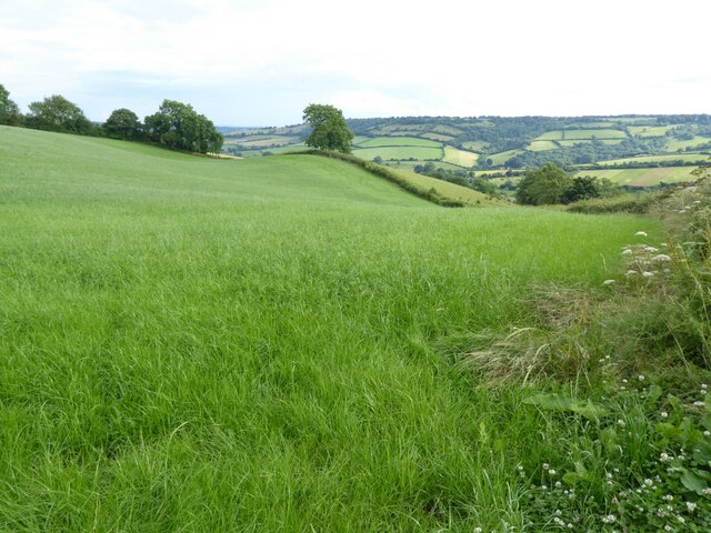
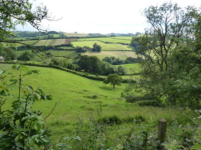
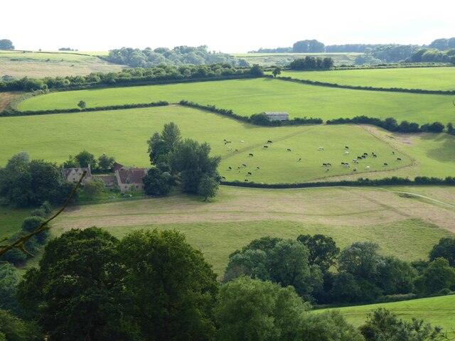
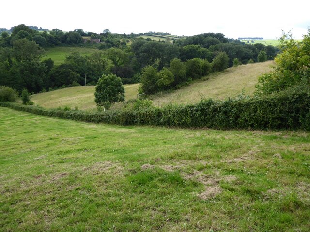
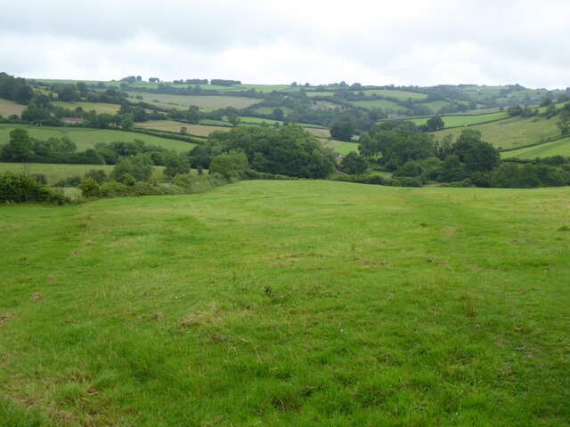
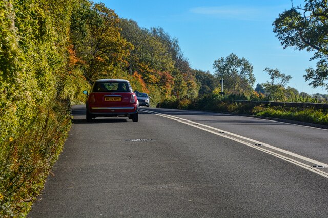
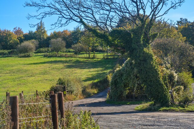
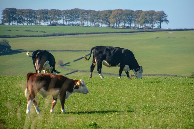
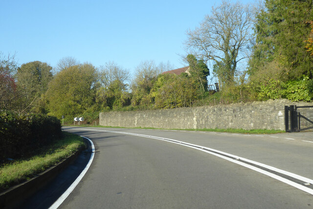
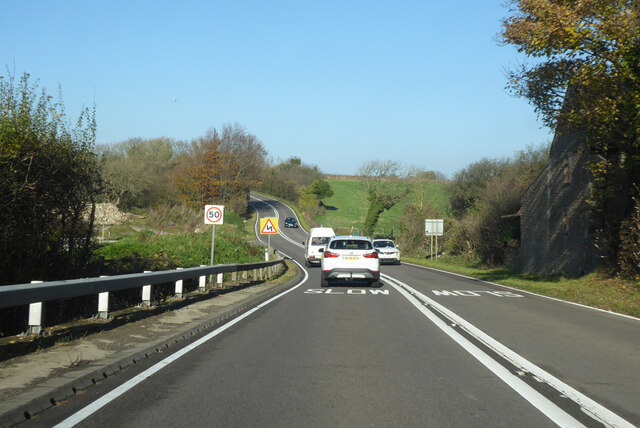
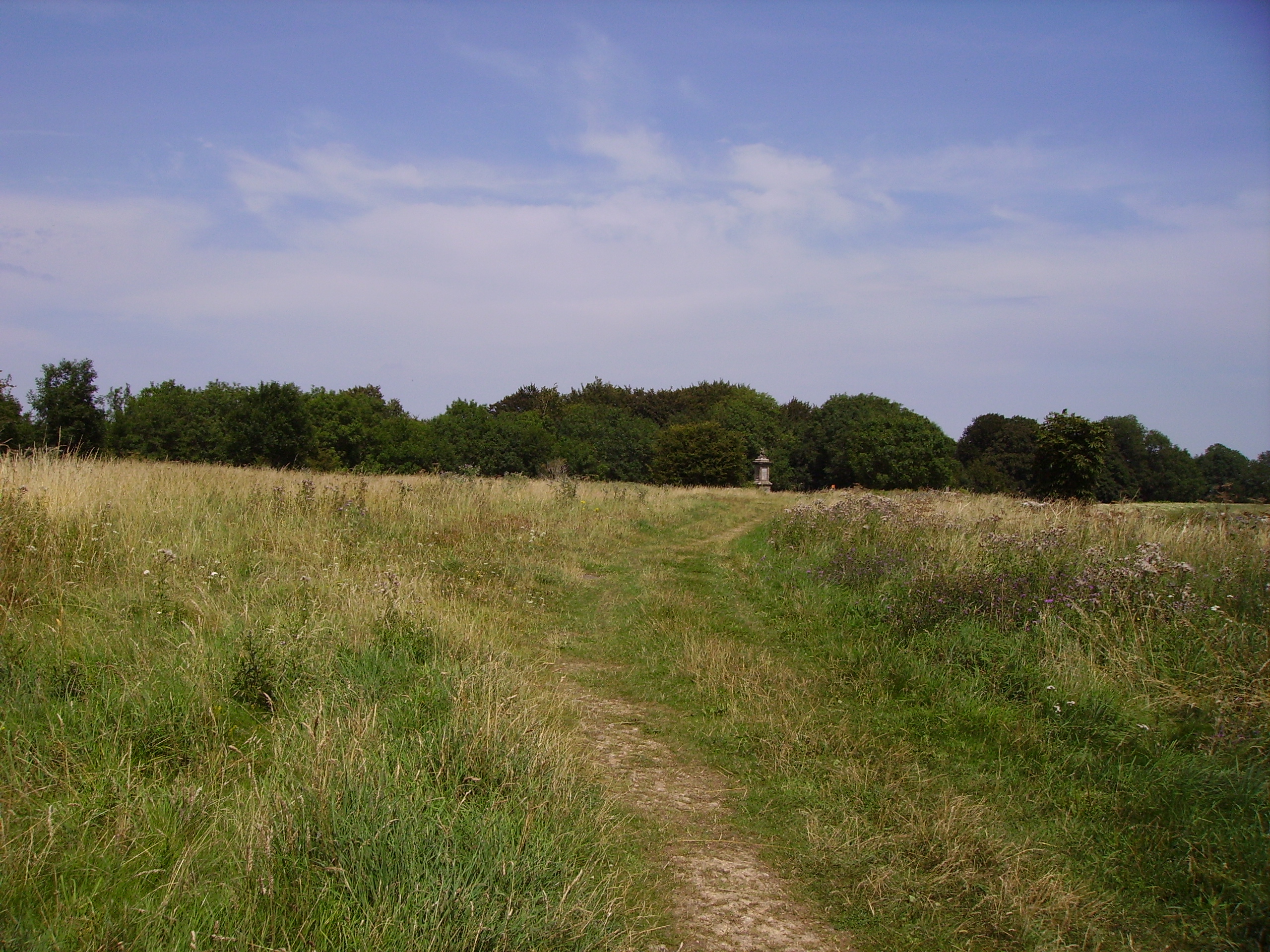
The parish is primarily rural, characterized by rolling hills and picturesque countryside. It is bordered by the parishes of Bathampton to the south, Swainswick to the east, and Lansdown to the west. The River Avon runs along its southern boundary.
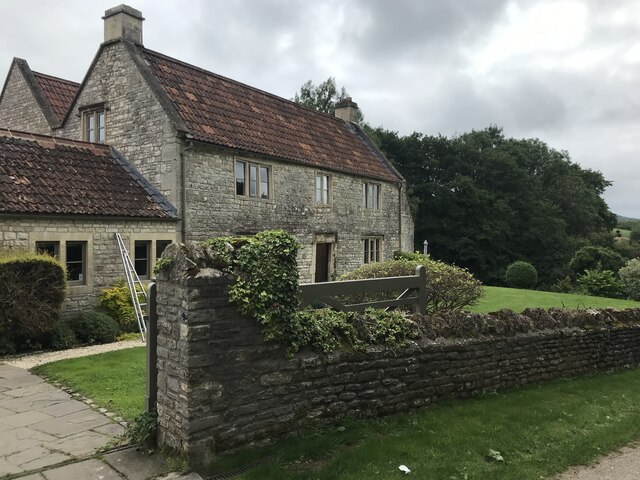
Historically, Charlcombe was mentioned in the Domesday Book of 1086, indicating its long-standing existence. The village itself is small, with a population of around 200 residents. It has retained much of its traditional charm, with a number of historic buildings dotting the landscape.
One notable landmark in Charlcombe is the Church of St. Mary the Virgin. Dating back to the 12th century, this Grade II listed building is a testament to the area's rich history and architectural heritage. The church is still in use today and holds regular services.
The parish is also home to a number of farms and agricultural activities, contributing to its rural character. The surrounding countryside offers ample opportunities for outdoor activities such as walking, hiking, and nature exploration.
Overall, Charlcombe offers a peaceful and idyllic setting, with its quaint village, historic church, and beautiful natural surroundings making it an attractive place to live or visit.
If you have any feedback on the listing, please let us know in the comments section below.
Charlcombe Images
Images are sourced within 2km of 51.421979/-2.380442 or Grid Reference ST7369. Thanks to Geograph Open Source API. All images are credited.


Charlcombe is located at Grid Ref: ST7369 (Lat: 51.421979, Lng: -2.380442)
Unitary Authority: Bath and North East Somerset
Police Authority: Avon and Somerset
What 3 Words
///schematic.isolating.magpie. Near Cold Ashton, Gloucestershire
Nearby Locations
Related Wikis

St Mary Magdalene's Church, Langridge
St Mary Magdalene's Church at Langridge in the parish of Charlcombe, Somerset, England dates from the 12th century and has been designated as a Grade I...

Ashcombe House, Somerset
Ashcombe House at Swainswick, north-east of Bath in Somerset, England is a Gothic revival country house. It is a Grade II listed building. Ashcombe House...
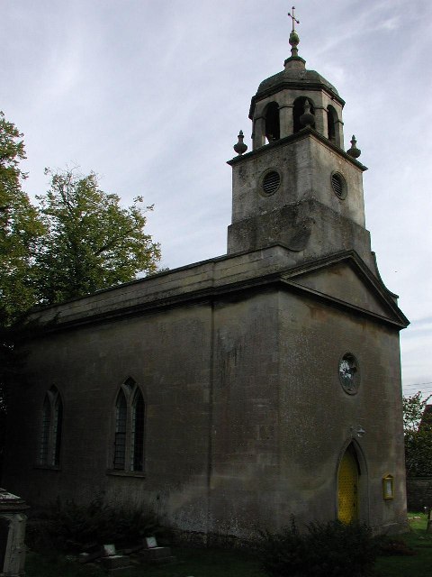
All Saints Church, Woolley
All Saints Church at Woolley in the parish of Charlcombe, Somerset, England, dates from 1761 and was built by John Wood, the Younger replacing an earlier...
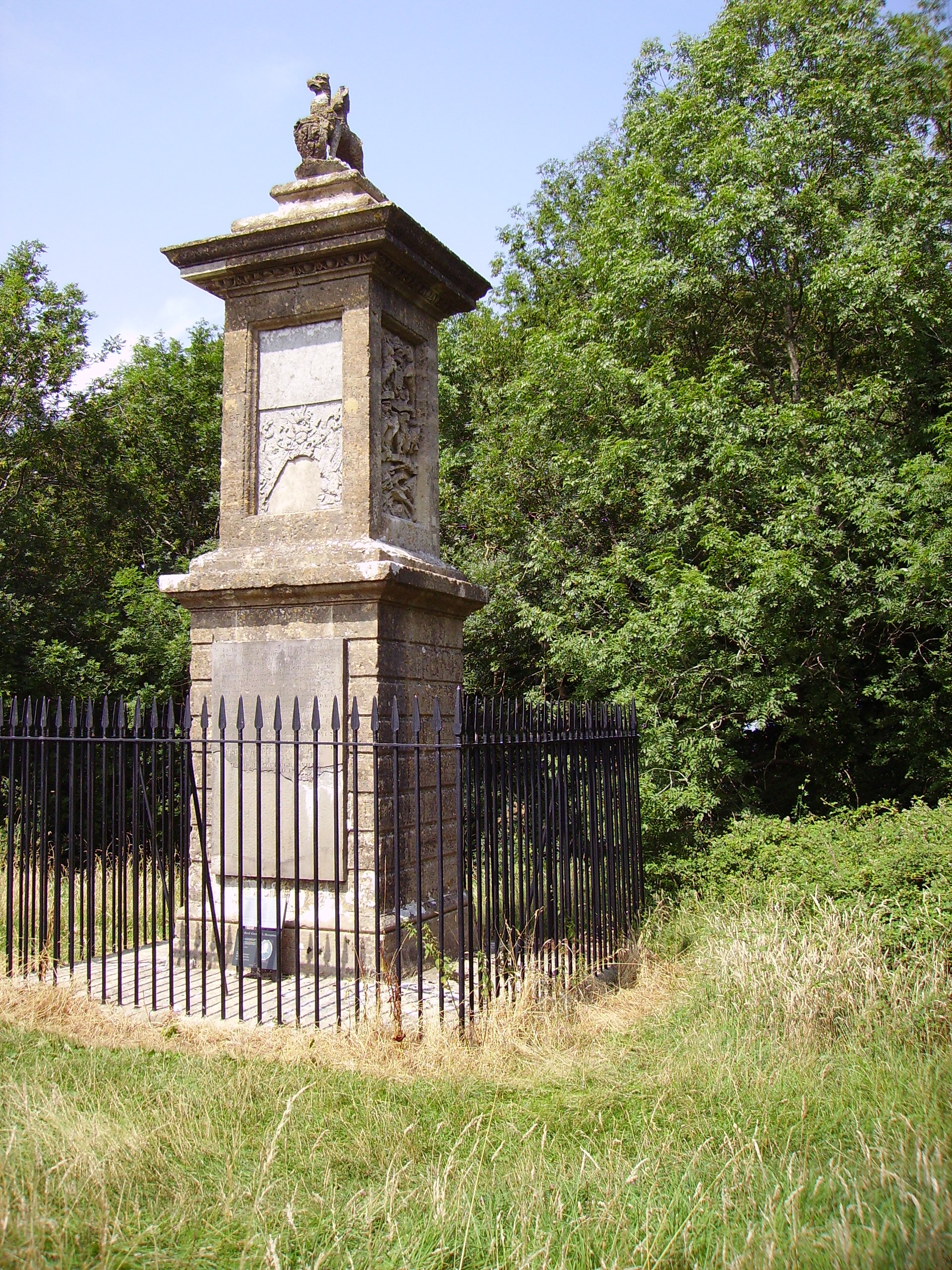
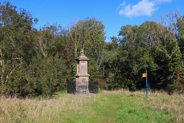
Sir Bevil Grenville's Monument
Sir Bevil Grenville's Monument is a monument erected in 1720 on Lansdown Hill, then called Lansdowne Hill, in Charlcombe parish about 4 miles (6.4 km)...

Beckford's Tower
Beckford's Tower, originally known as Lansdown Tower, is an architectural folly built in neo-classical style on Lansdown Hill, just outside Bath, Somerset...
Battle of Lansdowne
The First English Civil War battle of Lansdowne, or Lansdown, was fought on 5 July 1643, at Lansdowne Hill, near Bath, Somerset, England. Although the...

Church of St Mary, Swainswick
The Anglican Church of St Mary in Swainswick within the English county of Somerset dates from the 12th century. It is a Grade II* listed building.Vestiges...

Swainswick
Swainswick is a small village and civil parish, 3 miles (4.8 km) northeast of Bath, on the A46 in the Bath and North East Somerset unitary authority, Somerset...
Nearby Amenities
Located within 500m of 51.421979,-2.380442Have you been to Charlcombe?
Leave your review of Charlcombe below (or comments, questions and feedback).