Langridge
Settlement in Somerset
England
Langridge
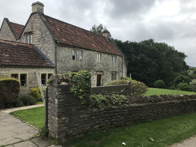
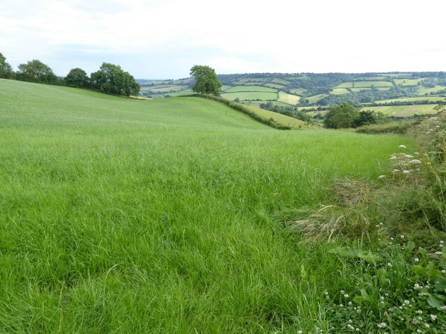
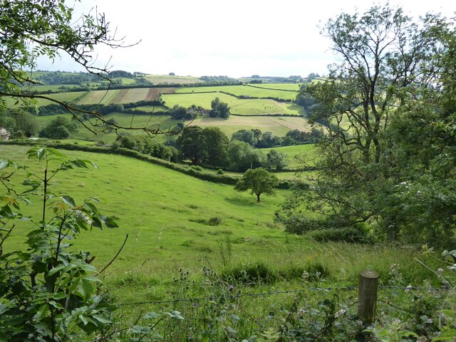
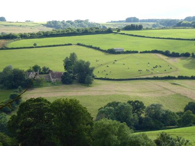
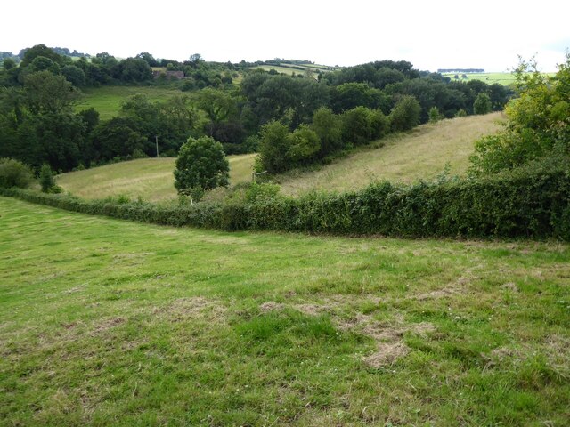
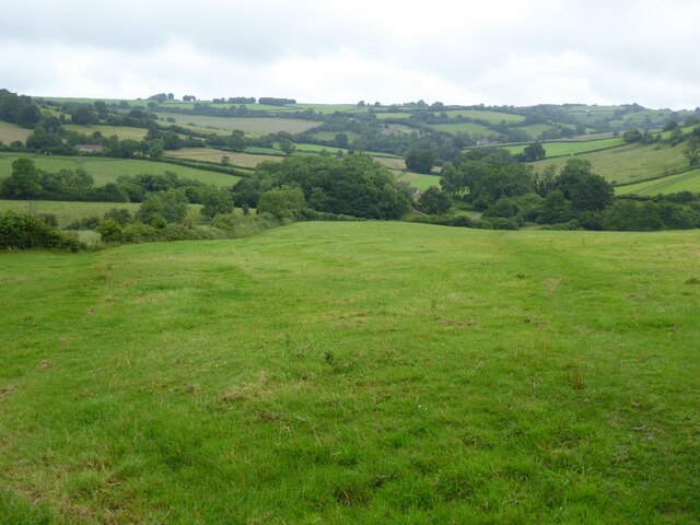
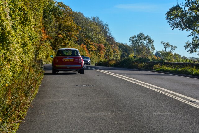
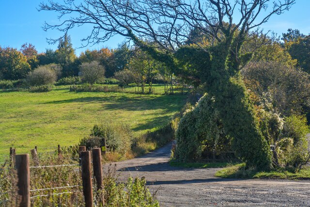
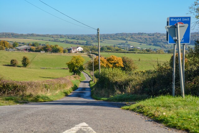
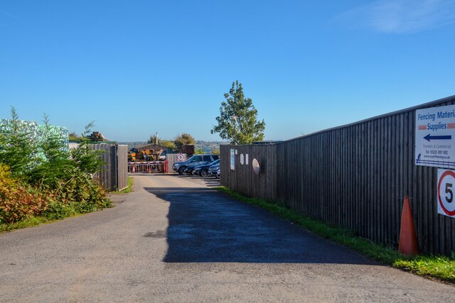
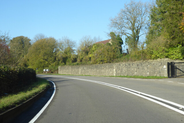
Langridge is a small village located in the county of Somerset, England. Situated approximately 7 miles northeast of the city of Bath, it lies within the Mendip Hills Area of Outstanding Natural Beauty. The village is nestled in a picturesque valley, surrounded by rolling hills and lush green fields.
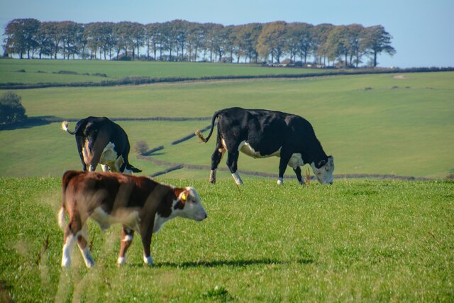
Langridge is known for its charming and idyllic countryside, making it a popular destination for nature lovers and hikers. The village is home to a tight-knit community, with a population of around 200 residents. The local economy mainly revolves around agriculture, with several farms dotting the landscape.
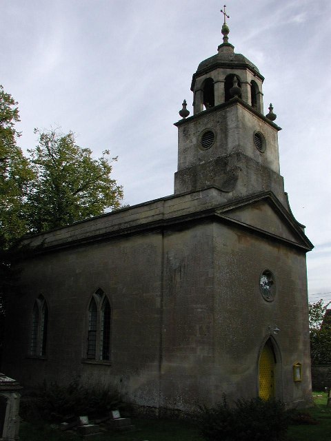
The village itself is characterized by its traditional stone cottages and historic buildings, reflecting its rich heritage. The local church, St. Mary's, is an architectural gem, dating back to the 12th century. It serves as a focal point for both religious and community events.
Despite its small size, Langridge boasts a vibrant social scene. The village pub, The Langridge Inn, is a popular gathering spot for locals and visitors alike, offering a cozy atmosphere and a selection of traditional British dishes. The pub also serves as a hub for community events and celebrations.
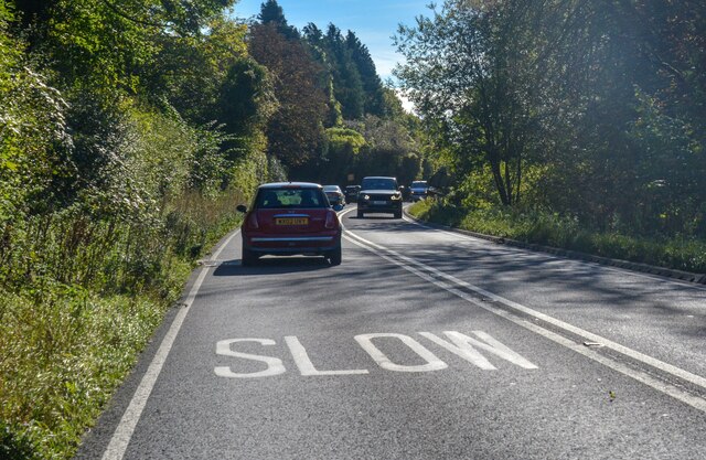
Langridge's proximity to Bath allows residents easy access to a wider range of amenities, including shopping centers, schools, and healthcare facilities. The village is well-connected by road, with regular bus services linking it to surrounding towns and cities.
Overall, Langridge is a charming and peaceful village, offering residents and visitors a tranquil escape from city life while still providing access to essential amenities and natural beauty.
If you have any feedback on the listing, please let us know in the comments section below.
Langridge Images
Images are sourced within 2km of 51.424749/-2.377517 or Grid Reference ST7369. Thanks to Geograph Open Source API. All images are credited.


Langridge is located at Grid Ref: ST7369 (Lat: 51.424749, Lng: -2.377517)
Unitary Authority: Bath and North East Somerset
Police Authority: Avon and Somerset
What 3 Words
///commutes.succumbs.panning. Near Cold Ashton, Gloucestershire
Nearby Locations
Related Wikis

St Mary Magdalene's Church, Langridge
St Mary Magdalene's Church at Langridge in the parish of Charlcombe, Somerset, England dates from the 12th century and has been designated as a Grade I...

Ashcombe House, Somerset
Ashcombe House at Swainswick, north-east of Bath in Somerset, England is a Gothic revival country house. It is a Grade II listed building. Ashcombe House...
All Saints Church, Woolley
All Saints Church at Woolley in the parish of Charlcombe, Somerset, England, dates from 1761 and was built by John Wood, the Younger replacing an earlier...
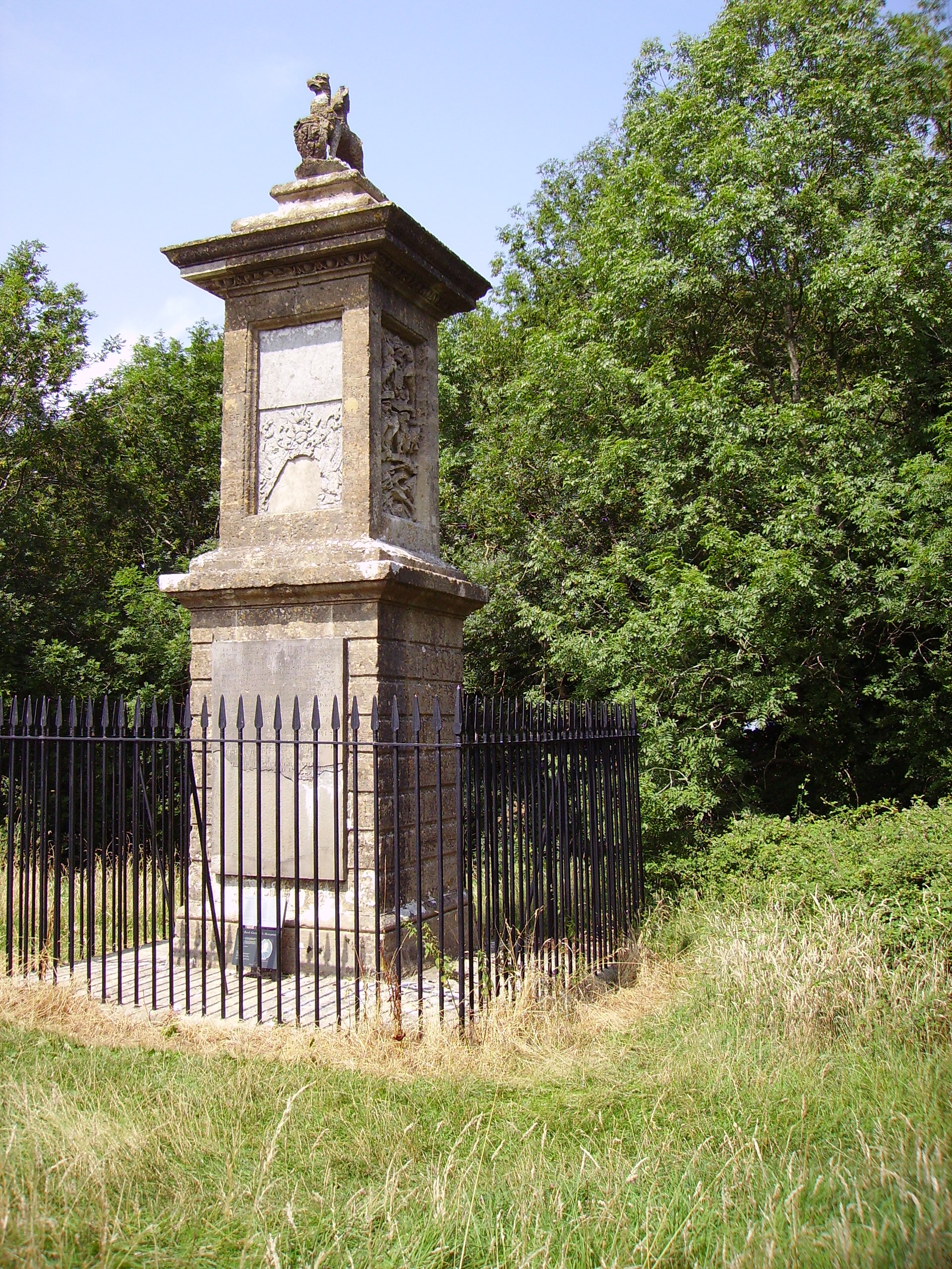
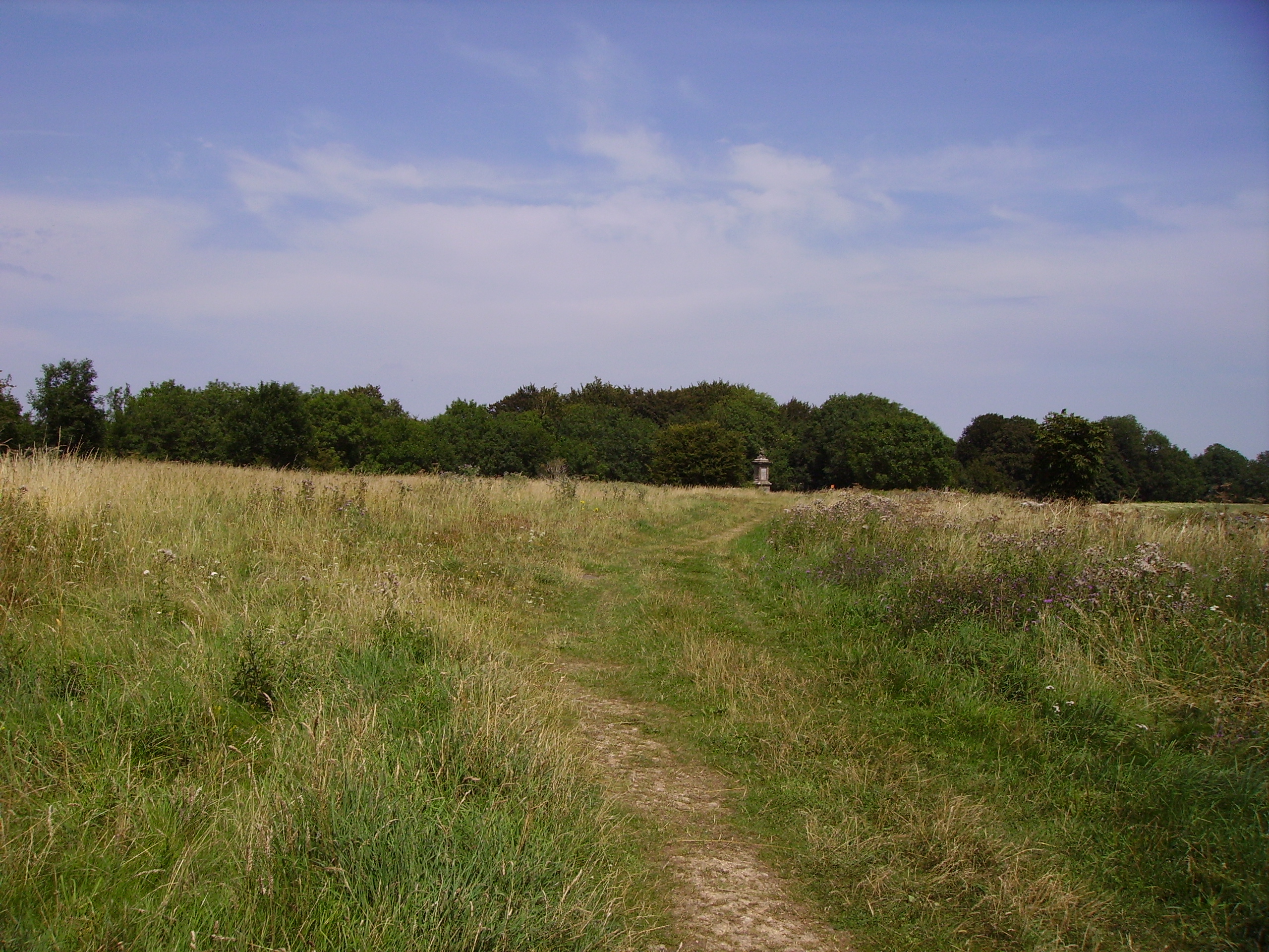
Sir Bevil Grenville's Monument
Sir Bevil Grenville's Monument is a monument erected in 1720 on Lansdown Hill, then called Lansdowne Hill, in Charlcombe parish about 4 miles (6.4 km)...
Battle of Lansdowne
The First English Civil War battle of Lansdowne, or Lansdown, was fought on 5 July 1643, at Lansdowne Hill, near Bath, Somerset, England. Although the...

Beckford's Tower
Beckford's Tower, originally known as Lansdown Tower, is an architectural folly built in neo-classical style on Lansdown Hill, just outside Bath, Somerset...

Monkswood Valley
Monkswood Valley (grid reference ST754710) is a 30.7-hectare biological Site of Special Scientific Interest (SSSI) near the village of Cold Ashton, South...

Church of St Mary, Swainswick
The Anglican Church of St Mary in Swainswick within the English county of Somerset dates from the 12th century. It is a Grade II* listed building.Vestiges...
Nearby Amenities
Located within 500m of 51.424749,-2.377517Have you been to Langridge?
Leave your review of Langridge below (or comments, questions and feedback).