Aldermoor Wood
Wood, Forest in Somerset
England
Aldermoor Wood
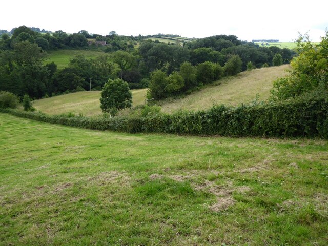
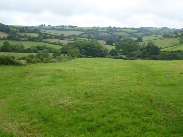
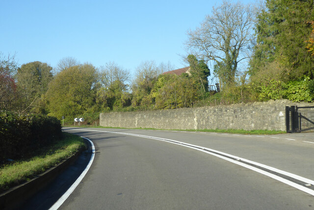
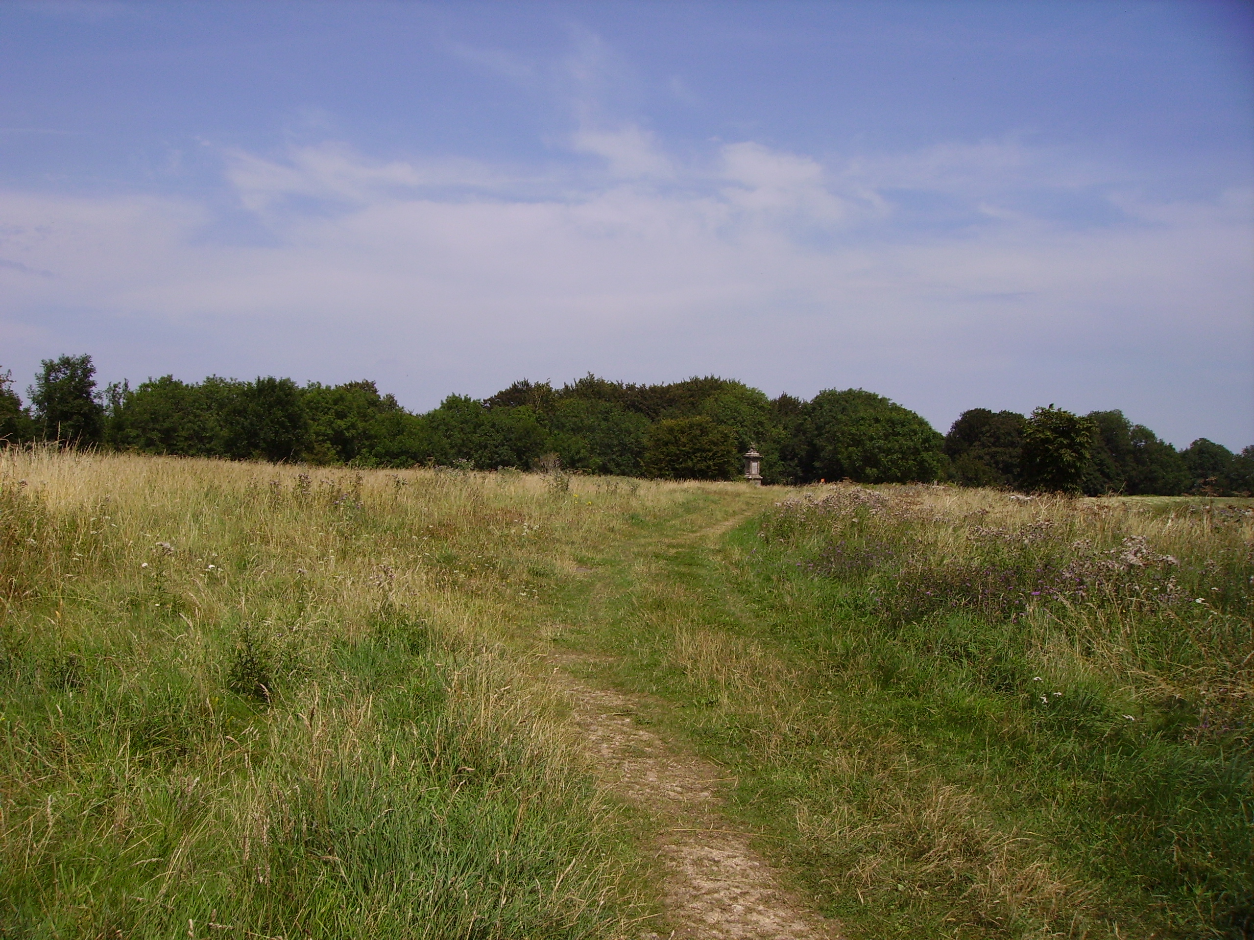
Aldermoor Wood is a picturesque woodland located in Somerset, England. Covering an area of approximately 100 acres, it is a popular destination for nature lovers and outdoor enthusiasts. The wood is primarily composed of alder trees, which give it its name, but also features a diverse range of other tree species such as oak, beech, and birch.
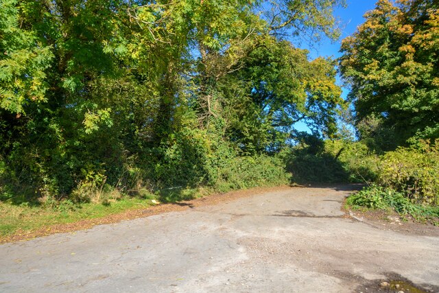
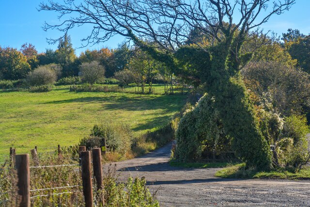
The woodland offers a tranquil and serene environment, with well-maintained walking trails that wind through the trees. These paths provide visitors with the opportunity to explore the wood at their own pace, taking in the sights and sounds of nature. The dense canopy of trees provides ample shade, making it an ideal spot for a peaceful picnic or a relaxing stroll on a sunny day.
Aldermoor Wood is also home to a wealth of wildlife. Birdwatchers can spot a variety of species, including woodpeckers, owls, and various songbirds. Small mammals such as rabbits, squirrels, and foxes can also be seen darting through the underbrush. In the springtime, the woodland comes alive with vibrant wildflowers, adding a burst of color to the already beautiful landscape.
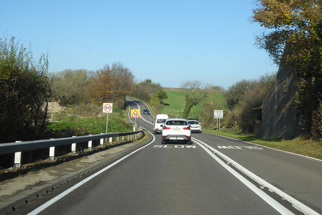
The wood is easily accessible, with a car park conveniently located nearby. It is also a popular spot for local schools and community groups, who often organize educational visits and nature walks for children. The peaceful and natural setting of Aldermoor Wood makes it a truly enchanting place to visit, providing visitors with a chance to connect with nature and escape the hustle and bustle of everyday life.
If you have any feedback on the listing, please let us know in the comments section below.
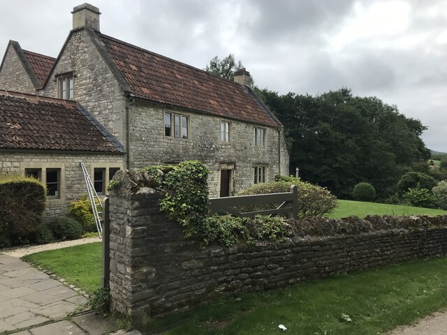
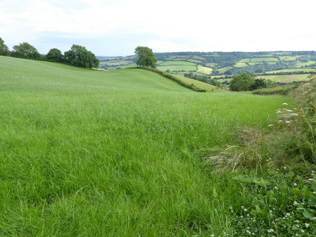
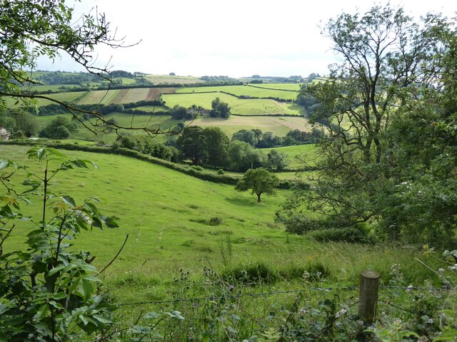
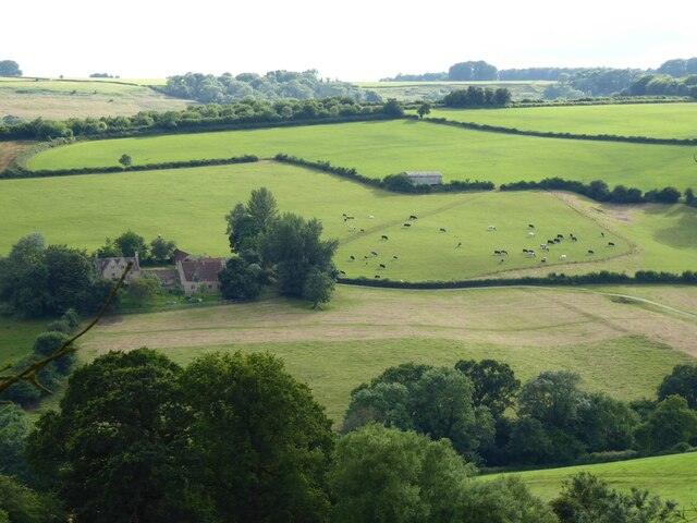
Aldermoor Wood Images
Images are sourced within 2km of 51.421829/-2.3784745 or Grid Reference ST7369. Thanks to Geograph Open Source API. All images are credited.


Aldermoor Wood is located at Grid Ref: ST7369 (Lat: 51.421829, Lng: -2.3784745)
Unitary Authority: Bath and North East Somerset
Police Authority: Avon and Somerset
What 3 Words
///hoops.tapes.bloomers. Near Cold Ashton, Gloucestershire
Nearby Locations
Related Wikis

St Mary Magdalene's Church, Langridge
St Mary Magdalene's Church at Langridge in the parish of Charlcombe, Somerset, England dates from the 12th century and has been designated as a Grade I...

Ashcombe House, Somerset
Ashcombe House at Swainswick, north-east of Bath in Somerset, England is a Gothic revival country house. It is a Grade II listed building. Ashcombe House...

All Saints Church, Woolley
All Saints Church at Woolley in the parish of Charlcombe, Somerset, England, dates from 1761 and was built by John Wood, the Younger replacing an earlier...

Beckford's Tower
Beckford's Tower, originally known as Lansdown Tower, is an architectural folly built in neo-classical style on Lansdown Hill, just outside Bath, Somerset...
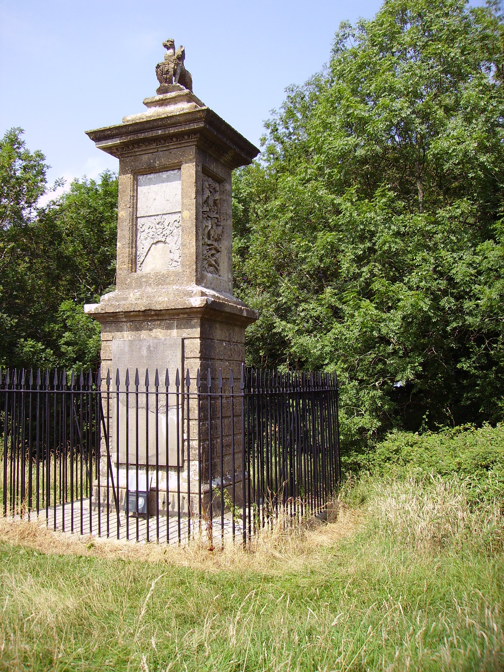
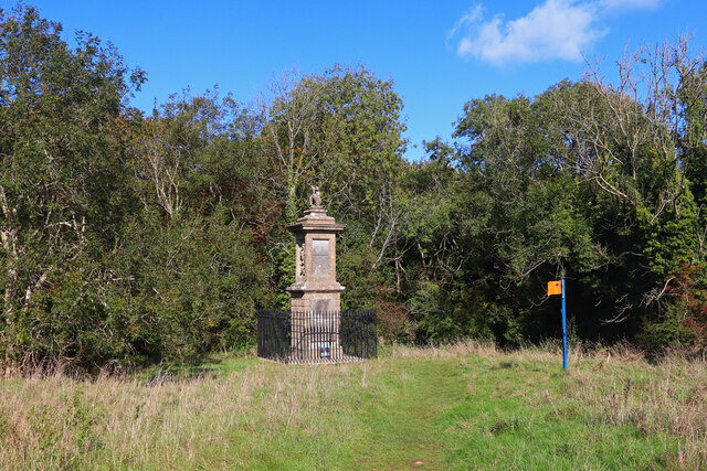
Sir Bevil Grenville's Monument
Sir Bevil Grenville's Monument is a monument erected in 1720 on Lansdown Hill, then called Lansdowne Hill, in Charlcombe parish about 4 miles (6.4 km)...
Battle of Lansdowne
The First English Civil War battle of Lansdowne, or Lansdown, was fought on 5 July 1643, at Lansdowne Hill, near Bath, Somerset, England. Although the...

Church of St Mary, Swainswick
The Anglican Church of St Mary in Swainswick within the English county of Somerset dates from the 12th century. It is a Grade II* listed building.Vestiges...

Swainswick
Swainswick is a small village and civil parish, 3 miles (4.8 km) northeast of Bath, on the A46 in the Bath and North East Somerset unitary authority, Somerset...
Nearby Amenities
Located within 500m of 51.421829,-2.3784745Have you been to Aldermoor Wood?
Leave your review of Aldermoor Wood below (or comments, questions and feedback).