Banks Wood
Wood, Forest in Lancashire Hyndburn
England
Banks Wood
Banks Wood is a picturesque woodland located in Lancashire, England. Situated near the village of Banks, it covers an area of approximately 50 acres and is renowned for its natural beauty and diverse wildlife.
The woodland is predominantly made up of broadleaf trees, including oak, birch, and beech, which create a dense canopy and provide shelter for a wide range of flora and fauna. The forest floor is carpeted with an array of wildflowers, adding bursts of color to the landscape.
Banks Wood is a popular destination for nature lovers and outdoor enthusiasts, offering a variety of walking trails that wind through the forest. These paths provide visitors with the opportunity to immerse themselves in the tranquil surroundings and observe the abundant wildlife. Red squirrels, deer, and a variety of bird species, including woodpeckers and owls, can often be spotted within the woodland.
The conservation efforts in Banks Wood have contributed to the preservation of the ecosystem and the protection of endangered species. The woodland is managed by a local conservation organization, which works tirelessly to maintain its biodiversity and promote sustainable practices.
In addition to its natural wonders, Banks Wood also provides recreational facilities for visitors, including picnic areas and designated camping spots. This allows visitors to fully experience the beauty of the woodland and spend quality time in its peaceful surroundings.
Overall, Banks Wood is a haven of tranquility and natural splendor, offering visitors a chance to escape the hustle and bustle of everyday life and reconnect with nature.
If you have any feedback on the listing, please let us know in the comments section below.
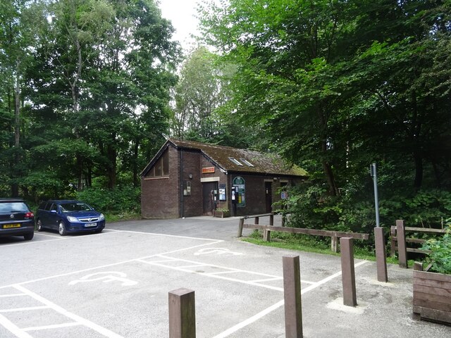
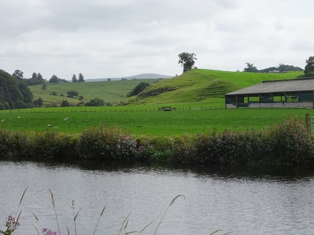
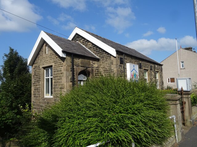
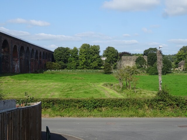
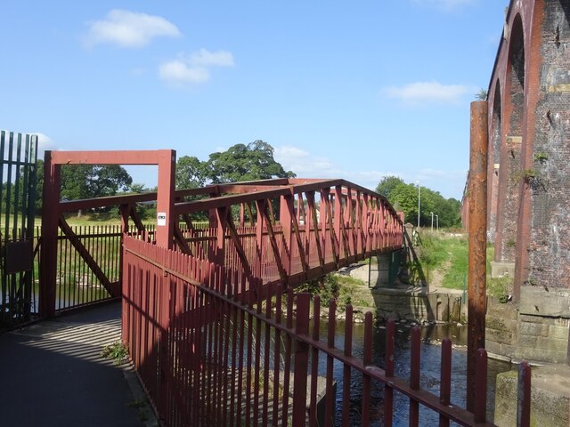
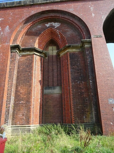
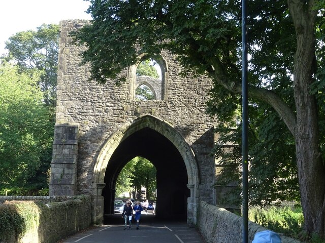
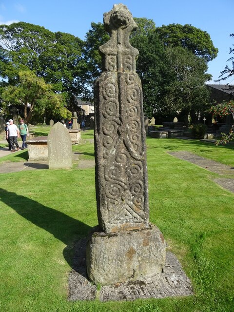
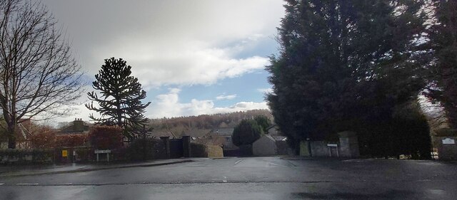
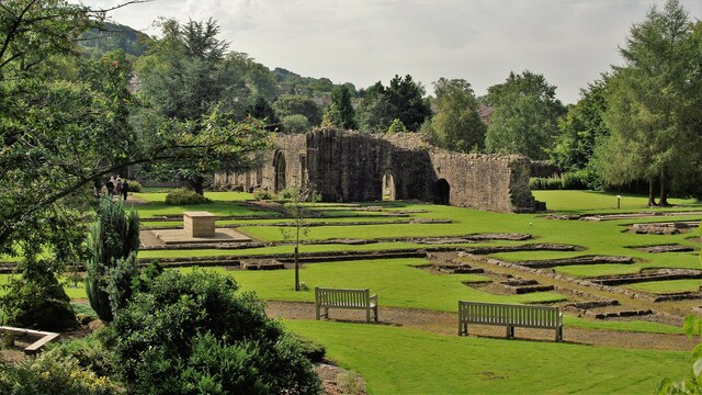
Banks Wood Images
Images are sourced within 2km of 53.809443/-2.3997333 or Grid Reference SD7334. Thanks to Geograph Open Source API. All images are credited.


Banks Wood is located at Grid Ref: SD7334 (Lat: 53.809443, Lng: -2.3997333)
Administrative County: Lancashire
District: Hyndburn
Police Authority: Lancashire
What 3 Words
///country.prepped.spike. Near Whalley, Lancashire
Nearby Locations
Related Wikis

Portfield Hillfort
Portfield also known as Planes Wood Camp is a late Bronze Age or Iron Age hillfort situated close to the town of Whalley in Lancashire, Northern England...

Sabden Brook
Sabden Brook is a small river running through Lancashire in England. It is 7.59 miles (12.21 km) long and has a catchment area of 6.84 square miles (17...

Whalley Abbey
Whalley Abbey is a former Cistercian abbey in Whalley, Lancashire, England. After the dissolution of the monasteries, the abbey was largely demolished...

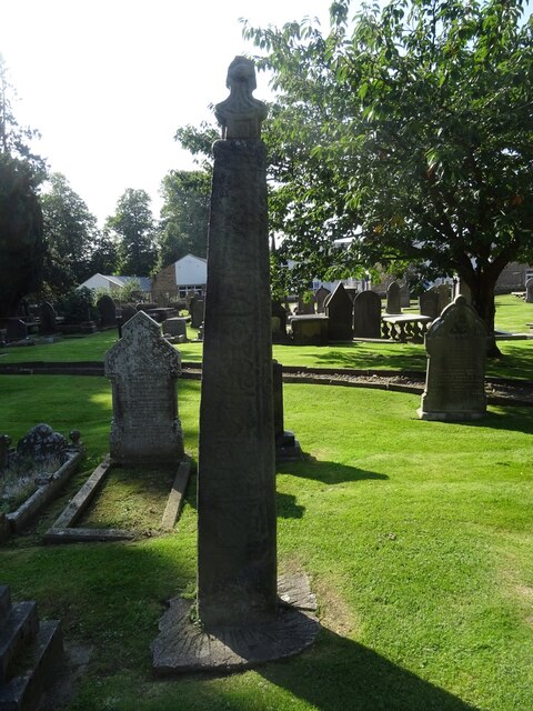
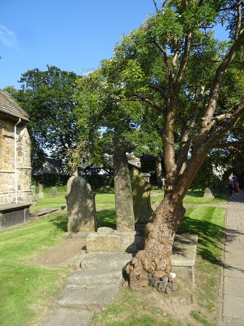
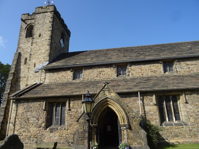
Church of St Mary and All Saints, Whalley
The Church of St Mary and All Saints is an Anglican church in the village of Whalley, Lancashire, England. It is an active parish church in the Diocese...
Nearby Amenities
Located within 500m of 53.809443,-2.3997333Have you been to Banks Wood?
Leave your review of Banks Wood below (or comments, questions and feedback).