Dean Wood

Wood, Forest in Lancashire Hyndburn

England

Dean Wood

Spring Wood Information Centre
Spring Wood Information Centre Credit: Greum

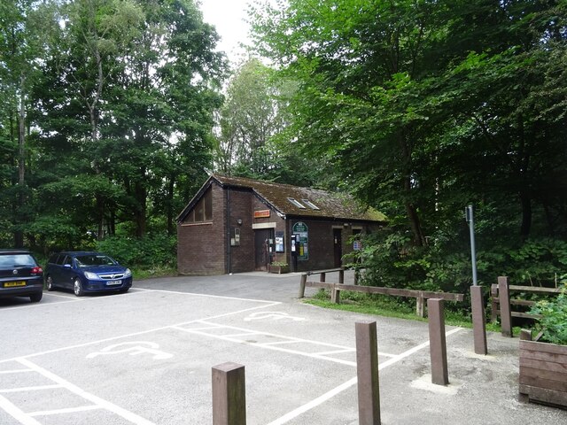
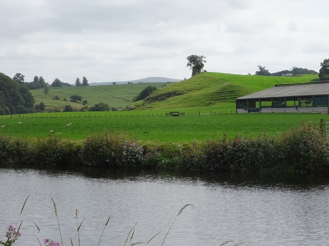
Dean Wood is a small village located in the county of Lancashire, England. Situated within the larger borough of West Lancashire, Dean Wood is surrounded by lush greenery and is known for its picturesque landscapes. The village is part of the larger civil parish of Up Holland.

The name Dean Wood derives from the Old English word "denu," meaning valley, and "wudu," meaning wood or forest, reflecting the area's abundant natural beauty. The village is nestled within a wooded area, giving it a serene and tranquil atmosphere.

Dean Wood is primarily a residential area, with a small population of close-knit community members. The village is characterized by its charming houses, many of which have traditional architectural features, adding to its overall appeal. The close proximity of the village to the surrounding woodlands provides residents with ample opportunities for outdoor activities, such as walking, hiking, and cycling.

The village benefits from its location, with easy access to nearby amenities and services. The larger town of Skelmersdale is a short distance away, offering a range of shopping and entertainment options. Additionally, the city of Liverpool is within commuting distance, providing residents with further employment and recreational opportunities.

Overall, Dean Wood in Lancashire is a peaceful and idyllic village, perfect for those seeking a quiet and nature-filled lifestyle while still benefiting from easy access to nearby towns and cities. Its natural beauty and community spirit make it an attractive place to call home.

If you have any feedback on the listing, please let us know in the comments section below.

Dean Wood Images

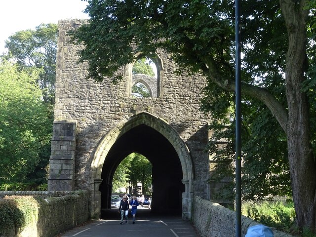
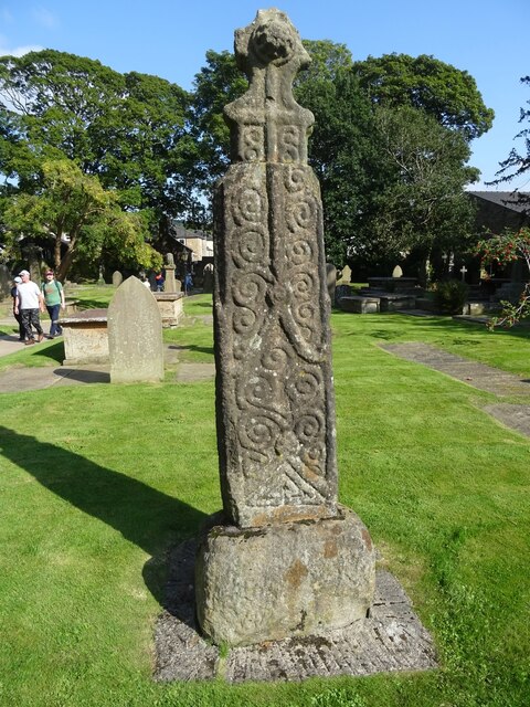
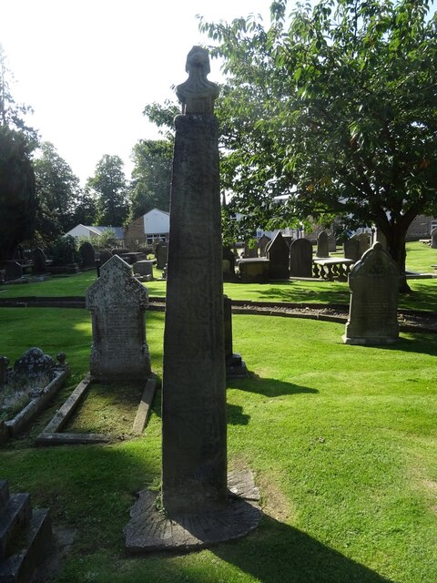
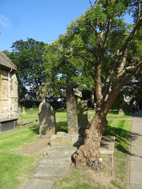
Images are sourced within 2km of 53.803711/-2.4044161 or Grid Reference SD7334. Thanks to Geograph Open Source API. All images are credited.

Spring Wood Information Centre
The River Calder near Whalley The view upstream, including Turn Hill on the right of the picture.
The River Calder near Whalley
The view upstream, including Turn Hill on the right of the picture.
Whalley Weir The weir at present serves as the generator for Whalley Community Hydro.
Whalley Weir
The weir at present serves as the generator for Whalley Community Hydro.
The path to Whalley Banks on Whalley Nab
Mobile Mast LAN0055 on Whalley Nab Delivering Freeview and mobile telephony services in Lancashire.
Mobile Mast LAN0055 on Whalley Nab
Delivering Freeview and mobile telephony services in Lancashire.
Ebenezer Baptist Church, Billington
Whalley Viaduct and Whalley Abbey
Whalley Abbey Gateway
Anglo-Scandinavian Cross, Whalley Parish Church
Parish Church of St. Mary and All Saints, Whalley
Whalley Community Hydro, Whalley Weir, River Calder Whalley Community Hydro Electricity plant at Whalley Weir on the River Calder
Whalley Community Hydro, Whalley Weir, River Calder
Whalley Community Hydro Electricity plant at Whalley Weir on the River Calder
Checco's Pizzeria
Checco's Pizzeria
Park Head
Park Head
Whalley Abbey Remains The east range of the cloisters with the reconstituted High Altar within the church foundations to the left in the view
Whalley Abbey Remains
The east range of the cloisters with the reconstituted High Altar within the church foundations to the left in the view
Old Bridge Marker on the A671 Whalley Road Bridge Marker set in the parapet of Read New Bridge, Sabden Brook, next to boundary marker LA_BUCL06pb, on the north side of the A671 Whalley Road. On the boundary of Whalley and Read parishes.

Milestone Society National ID: LA_WHAREA01br
Old Bridge Marker on the A671 Whalley Road
Bridge Marker set in the parapet of Read New Bridge, Sabden Brook, next to boundary marker LA_BUCL06pb, on the north side of the A671 Whalley Road. On the boundary of Whalley and Read parishes. Milestone Society National ID: LA_WHAREA01br
Village Signpost on the A671 Whalley Road near Read New Bridge Located on the northeast side of the A671 Whalley Road at the east end of Read New Bridge in Read parish. 

Milestone Society National ID: LA_SD7434V
Village Signpost on the A671 Whalley Road near Read New Bridge
Located on the northeast side of the A671 Whalley Road at the east end of Read New Bridge in Read parish. Milestone Society National ID: LA_SD7434V
Show me another place!

Dean Wood is located at Grid Ref: SD7334 (Lat: 53.803711, Lng: -2.4044161)

Administrative County: Lancashire

District: Hyndburn

Police Authority: Lancashire

What 3 Words

///rollover.player.nation. Near Billington, Lancashire

Nearby Locations

Dean Wood Banks Wood

Related Wikis

Sabden Brook

Sabden Brook is a small river running through Lancashire in England. It is 7.59 miles (12.21 km) long and has a catchment area of 6.84 square miles (17...

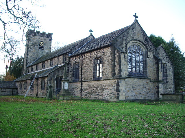
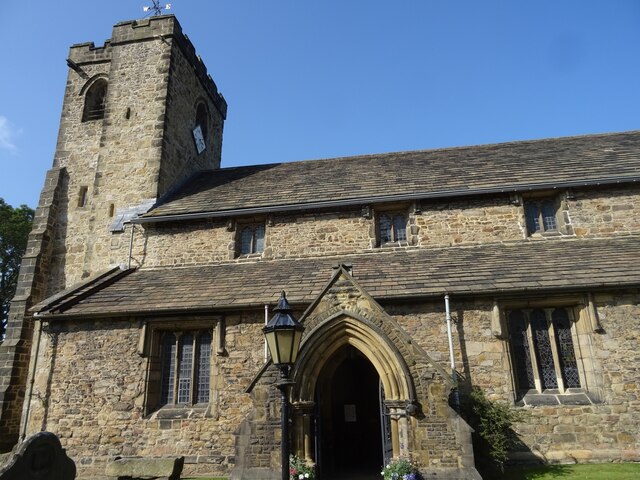
St Bartholomew's Church, Great Harwood

St Bartholomew's Church is in the town of Great Harwood in Lancashire, England. It is an active Anglican parish church in the Diocese of Blackburn. The...

Portfield Hillfort

Portfield also known as Planes Wood Camp is a late Bronze Age or Iron Age hillfort situated close to the town of Whalley in Lancashire, Northern England...
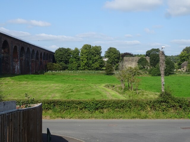
Martholme Viaduct

Martholme Viaduct is a 19th-century railway viaduct in the English county of Lancashire. It lies between the town of Great Harwood and the village of Read...

Nearby Amenities

Located within 500m of 53.803711,-2.4044161
Bowley Scout Camp
Scout: yes
Tourism: camp_site
Lat/Long: 53.800958/-2.4072761
Barrier: stile
Lat/Long: 53.80473/-2.3996109
Barrier: stile
Lat/Long: 53.8074036/-2.4028081
Dean wood
Natural: wood
Source: OS_OpenData_StreetView
Lat/Long: 53.8036921/-2.4044973
The data included in this document is from www.openstreetmap.org. The data is made available under ODbL.

Have you been to Dean Wood?

Leave your review of Dean Wood below (or comments, questions and feedback).