Langridgeford

Settlement in Devon North Devon

England

Langridgeford

Steep hill at Langridgeford The deepest of the valleys traversed by the B3227 which runs from Umberleigh to Great Torrington, passing through the hamlet of Langridgeford.
Steep hill at Langridgeford Credit: David Brinicombe

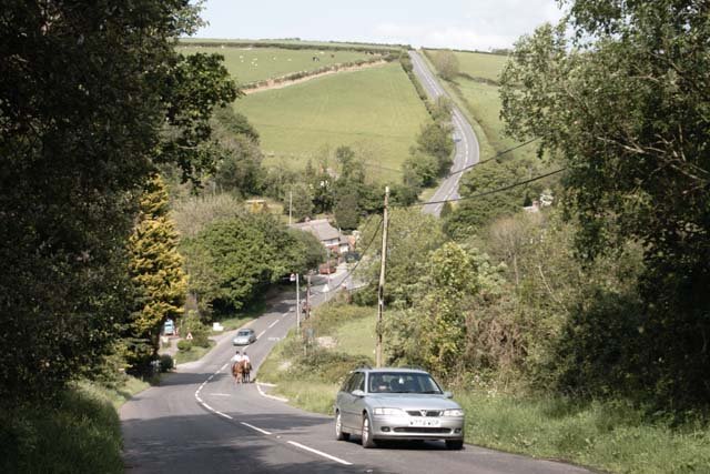
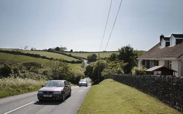
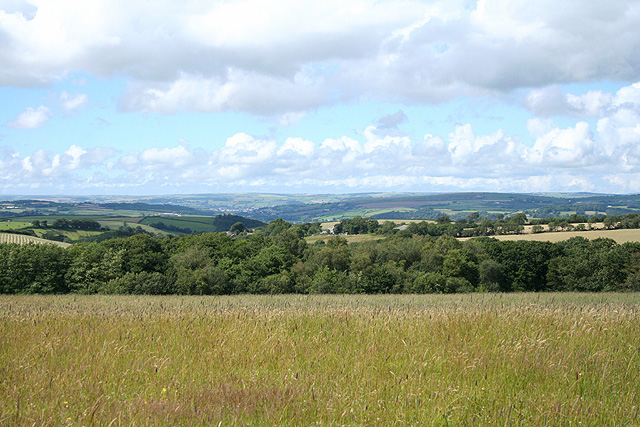
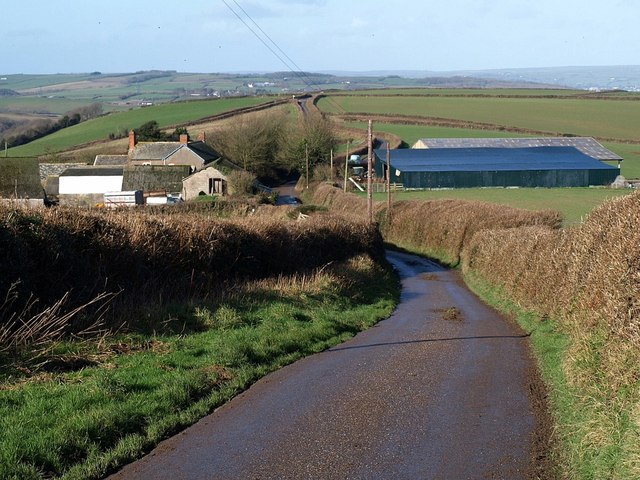
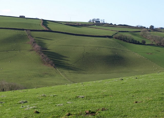
Langridgeford is a small village located in the county of Devon, in the southwest of England. Situated near the southern edge of Dartmoor National Park, Langridgeford is surrounded by stunning natural beauty, with rolling hills, lush green landscapes, and serene countryside.

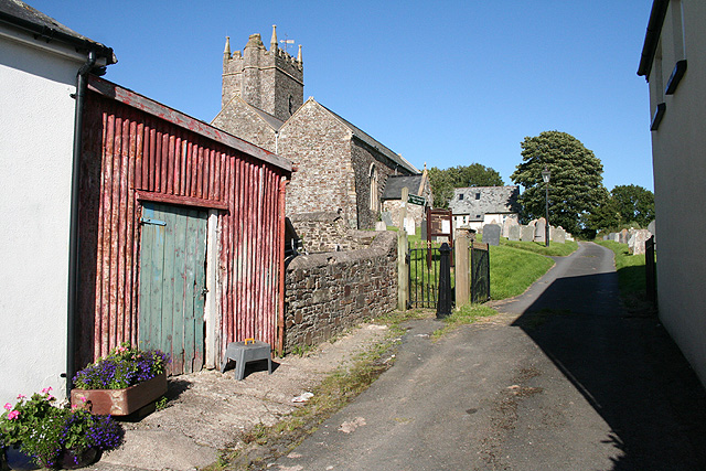
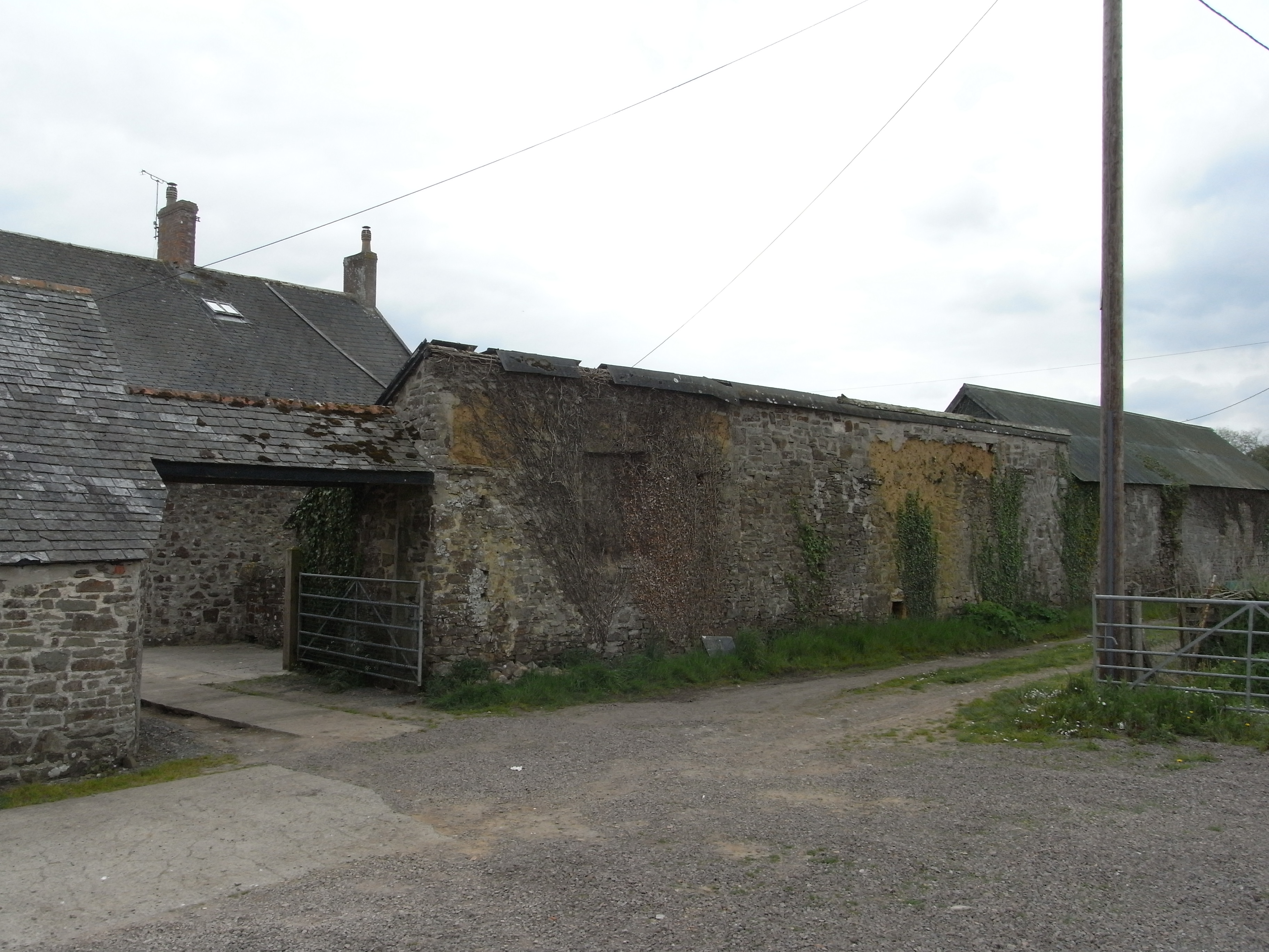
The village itself is characterized by its traditional English charm, with picturesque thatched-roof cottages and quaint stone buildings lining the narrow streets. The local community is tight-knit and friendly, fostering a warm and welcoming atmosphere for both residents and visitors.

Langridgeford is known for its agricultural heritage, with farming playing a significant role in the local economy. The village is home to several working farms that contribute to the region's agricultural output, including the production of dairy products, meat, and crops.

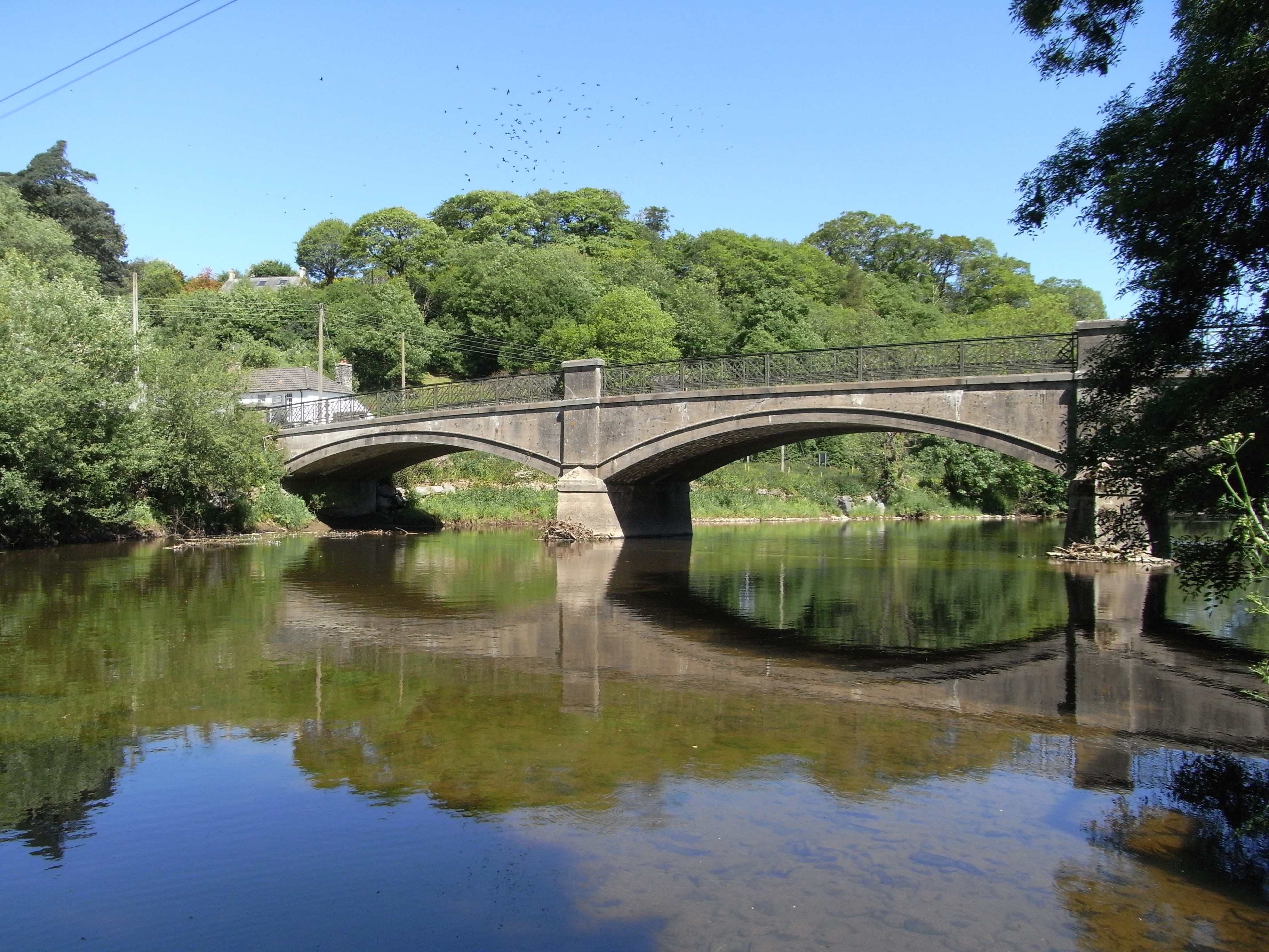
Despite its rural setting, Langridgeford offers a range of amenities to its residents. There is a small convenience store that caters to everyday needs, along with a village pub that serves as a popular gathering spot for locals. For recreational activities, residents can enjoy the surrounding countryside for walks, hiking, and cycling, while nearby rivers and lakes provide opportunities for fishing and boating.

The village is also conveniently located near larger towns and cities, with the vibrant city of Exeter just a short drive away. This allows residents to access a wider range of services, employment opportunities, and cultural experiences while still enjoying the peacefulness of village life in Langridgeford.

If you have any feedback on the listing, please let us know in the comments section below.

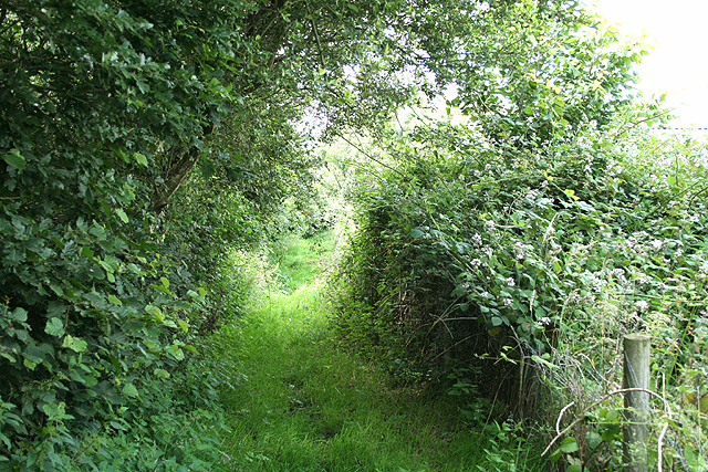
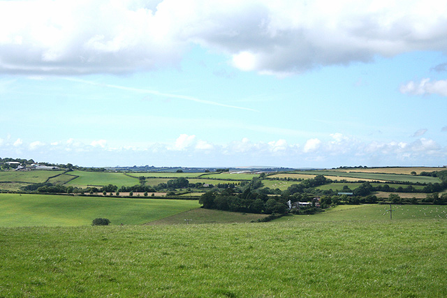
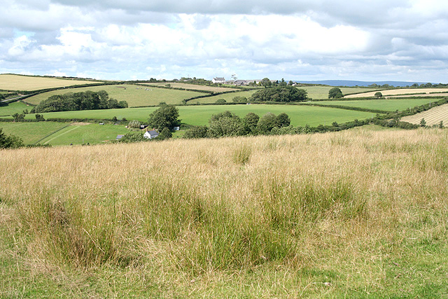
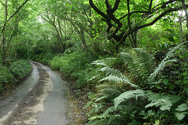
Langridgeford Images

Images are sourced within 2km of 50.982601/-4.0376772 or Grid Reference SS5722. Thanks to Geograph Open Source API. All images are credited.

Steep hill at Langridgeford The deepest of the valleys traversed by the B3227 which runs from Umberleigh to Great Torrington, passing through the hamlet of Langridgeford.
Steep hill at Langridgeford
The deepest of the valleys traversed by the B3227 which runs from Umberleigh to Great Torrington, passing through the hamlet of Langridgeford.
Sharp Valley in Road at Eastacombe Not as deep as the road valley at Langridgeford, but another sharp "dip" in the B3227.
Sharp Valley in Road at Eastacombe
Not as deep as the road valley at Langridgeford, but another sharp "dip" in the B3227.
Yarnscombe: by St Andrew’s church Looking east
Yarnscombe: by St Andrew’s church
Looking east
Atherington: on Boreat Moor Looking north towards the Taw valley near the entrance to Little Knowle Farm
Atherington: on Boreat Moor
Looking north towards the Taw valley near the entrance to Little Knowle Farm
Atherington: footpath to the village On Boreat Moor looking north
Atherington: footpath to the village
On Boreat Moor looking north
High Bickington: towards Lower Chapple Lower Chapple stands on the site of St John’s Chapel, within the square and by the Atherington – Torrington road. It can be seen on the horizon on the extreme left. Looking north-north-west
High Bickington: towards Lower Chapple
Lower Chapple stands on the site of St John’s Chapel, within the square and by the Atherington – Torrington road. It can be seen on the horizon on the extreme left. Looking north-north-west
High Bickington: roadside at Lee Cross The lane leads to Beara Moor and Roborough. Looking south-south-west
High Bickington: roadside at Lee Cross
The lane leads to Beara Moor and Roborough. Looking south-south-west
High Bickington: Lee Barton Seen from the road between North Heale and Lee Cross
High Bickington: Lee Barton
Seen from the road between North Heale and Lee Cross
High Bickington: towards Langridge Langridge stands beyond the square on the skyline and by the B3227 Atherington – Torrington road. Looking north east
High Bickington: towards Langridge
Langridge stands beyond the square on the skyline and by the B3227 Atherington – Torrington road. Looking north east
Yarnscombe: near Oakenhill Bridge On the edge of Tunnel Wood, on the lane to Three Gates Cross and Yarnscombe Cross from the main Atherington – Torrington road
Yarnscombe: near Oakenhill Bridge
On the edge of Tunnel Wood, on the lane to Three Gates Cross and Yarnscombe Cross from the main Atherington – Torrington road
Wanhill The farm is on a ridge between two valleys running north towards the Taw, and on a slight saddle. The lane, which is from Langridge, continues past a junction at Brown's Hill Head on the next rise, towards Chapelton.
Wanhill
The farm is on a ridge between two valleys running north towards the Taw, and on a slight saddle. The lane, which is from Langridge, continues past a junction at Brown's Hill Head on the next rise, towards Chapelton.
Beetfield near Atherington Taken from a gateway at a bend in the winding lane between Eastacombe and Fishleigh Barton. The village in the distance must be Chittlehampton.
Beetfield near Atherington
Taken from a gateway at a bend in the winding lane between Eastacombe and Fishleigh Barton. The village in the distance must be Chittlehampton.
Lane to Eastacombe A winding lane which runs along the side of a small valley between Fishleigh Barton and Eastacombe. The large wood is Court Wood, mainly in SS5723 and SS5623, on the side of the Langham Brook valley.
Lane to Eastacombe
A winding lane which runs along the side of a small valley between Fishleigh Barton and Eastacombe. The large wood is Court Wood, mainly in SS5723 and SS5623, on the side of the Langham Brook valley.
Brown's Hill Head The lane junction, visible in <a href="https://www.geograph.org.uk/photo/666664">SS5723 : Wanhill</a> (the farm is on the left) is where a lane from Chapelton splits. Left along the ridge for Langridge Cross; right down into the valley for Langridgeford.
Brown's Hill Head
The lane junction, visible in SS5723 : Wanhill (the farm is on the left) is where a lane from Chapelton splits. Left along the ridge for Langridge Cross; right down into the valley for Langridgeford.
Lane to Langridgeford This is the lane on the right of <a href="https://www.geograph.org.uk/photo/668187">SS5723 : Brown's Hill Head</a>, descending into the Langham Lake valley.
Lane to Langridgeford
This is the lane on the right of SS5723 : Brown's Hill Head, descending into the Langham Lake valley.
Fields below Yarnscombe Fields on the western slopes of the Langham Lake valley, seen from <a href="https://www.geograph.org.uk/photo/668187">SS5723 : Brown's Hill Head</a>. On the horizon in the centre is Northchurch.
Fields below Yarnscombe
Fields on the western slopes of the Langham Lake valley, seen from SS5723 : Brown's Hill Head. On the horizon in the centre is Northchurch.
Fields at Christmas Close This looks across the line of view in <a href="https://www.geograph.org.uk/photo/666625">SS5823 : Valley near Atherington</a>. <a href="https://www.geograph.org.uk/photo/671703">SS5823 : Moor Copse</a> is on the right. On the extreme left is a sliver of one of the outbuildings at Christmas Close. Taken from the lane to Atherington.
Fields at Christmas Close
This looks across the line of view in SS5823 : Valley near Atherington. SS5823 : Moor Copse is on the right. On the extreme left is a sliver of one of the outbuildings at Christmas Close. Taken from the lane to Atherington.
Lane to Fishleigh Bridge The lane, also seen in <a href="https://www.geograph.org.uk/photo/668165">SS5823 : Lane to Eastacombe</a>, makes its narrow way between hedges past the point at which <a href="https://www.geograph.org.uk/photo/668140">SS5823 : Beetfield near Atherington</a> was taken.
Lane to Fishleigh Bridge
The lane, also seen in SS5823 : Lane to Eastacombe, makes its narrow way between hedges past the point at which SS5823 : Beetfield near Atherington was taken.
Show me another place!

Langridgeford is located at Grid Ref: SS5722 (Lat: 50.982601, Lng: -4.0376772)

Administrative County: Devon

District: North Devon

Police Authority: Devon and Cornwall

What 3 Words

///glades.dentistry.delighted. Near Great Torrington, Devon

Related Wikis

Yarnscombe

Yarnscombe is a small village and parish in the Torridge area of Devon, England. It is situated approximately 5 miles (8 km) from Great Torrington and...

Atherington, Devon

Atherington is a village and civil parish in the North Devon district of Devon, England, about 8 miles south of Barnstaple. According to the 2001 census...

High Bickington

High Bickington is a rural village and civil parish in the Torridge district of Devon, England. The village lies on the B3217 road, around 6 miles (10...

Holy Trinity Chapel, Umberleigh

The Chapel of the Holy Trinity at Umberleigh is a ruinous mediaeval chapel in north Devon, England, largely demolished according to Lysons (1822) in about...

Chapelton, Devon

Chapelton is a hamlet in Devon. It is located in the civil parish of Tawstock. The hamlet is served by the Chapelton railway station. == References ==

Chapelton railway station

Chapelton railway station serves the hamlet of Chapelton, part of the civil parish of Tawstock in the English county of Devon. It is a rural station on...

Belle Vue Airfield

Belle Vue Airfield (often classed as airport or heliport) is a single runway airfield about 2.5 miles (4.0 km) north east of Great Torrington in North...

Umberleigh

Umberleigh is a former large manor within the historic hundred of (North) Tawton, but today a small village in North Devon in England. It used to be an...

Nearby Amenities

Located within 500m of 50.982601,-4.0376772
Langridgeford
Place: locality
Lat/Long: 50.983141/-4.0359536
Direction: SSE
Generator Method: photovoltaic
Generator Output Electricity: yes
Generator Solar Modules: 16
Generator Source: solar
Generator Type: solar_photovoltaic_panel
Location: roof
Power: generator
Lat/Long: 50.9830577/-4.0433339
The data included in this document is from www.openstreetmap.org. The data is made available under ODbL.

Have you been to Langridgeford?

Leave your review of Langridgeford below (or comments, questions and feedback).