Sale's Wood

Wood, Forest in Devon North Devon

England

Sale's Wood

Atherington Village and Post Office Atherington lies on a crossroads and has some very pretty buildings. It still has a Post Office and shop at the crossroads with a small car park.
Atherington Village and Post Office Credit: David Brinicombe

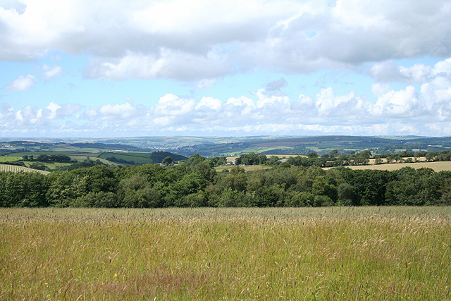
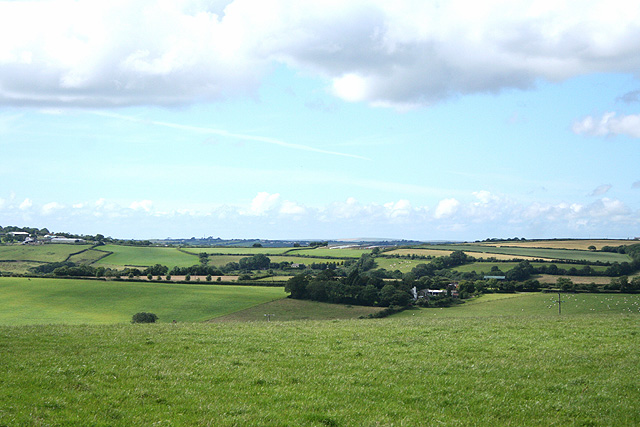
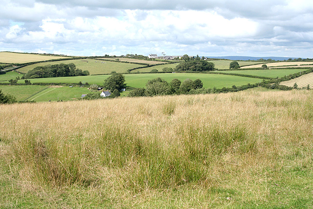
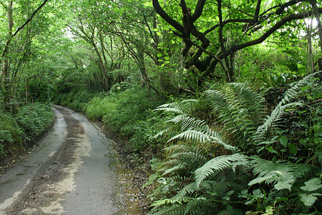
Sale's Wood is a picturesque woodland located in the county of Devon, England. Nestled in the heart of the idyllic countryside, this enchanting forest spans over a vast area of approximately 500 acres. The wood is characterized by its dense and diverse vegetation, consisting primarily of deciduous trees such as oak, ash, beech, and sycamore, which create a stunning display of colors throughout the year.

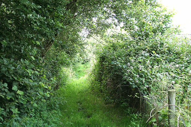
The wood is intersected by a network of walking trails that wind their way through the forest, allowing visitors to explore its natural beauty. These trails offer a chance to immerse oneself in the peaceful ambiance of the wood, as well as providing an opportunity to observe the abundant wildlife that calls this place home. Birdwatchers will delight in the presence of various bird species, including woodpeckers, nuthatches, and thrushes.

Additionally, Sale's Wood boasts a rich history, dating back several centuries. The wood was originally part of a medieval deer park, and remnants of its past can still be found in the form of ancient boundary banks and ditches. These historical features add a sense of charm and intrigue to the woodland, making it a fascinating destination for history enthusiasts.

The wood is open to the public throughout the year and offers an array of recreational activities. Visitors can enjoy picnicking, photography, or simply take a leisurely stroll amidst the natural splendor. Sale's Wood is a true haven for nature lovers and provides a peaceful retreat from the hustle and bustle of everyday life.

If you have any feedback on the listing, please let us know in the comments section below.
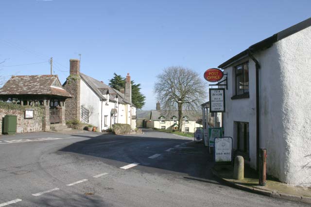
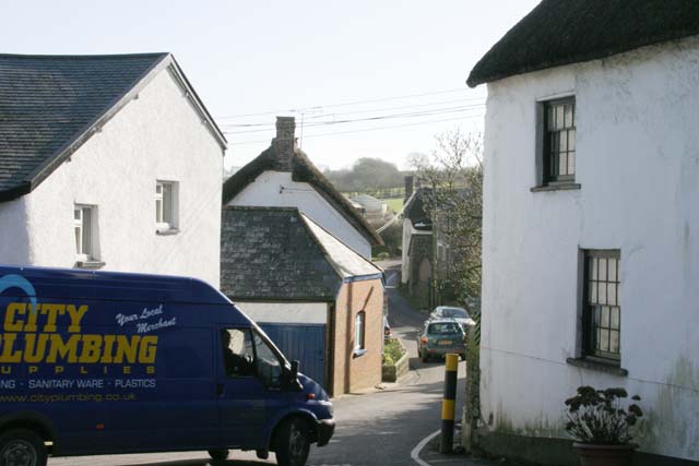
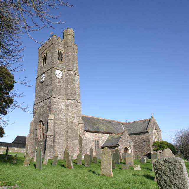
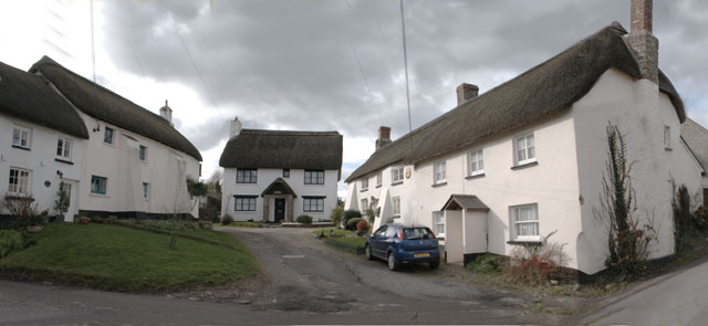
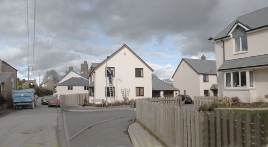
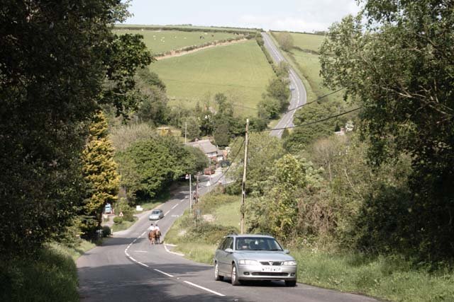
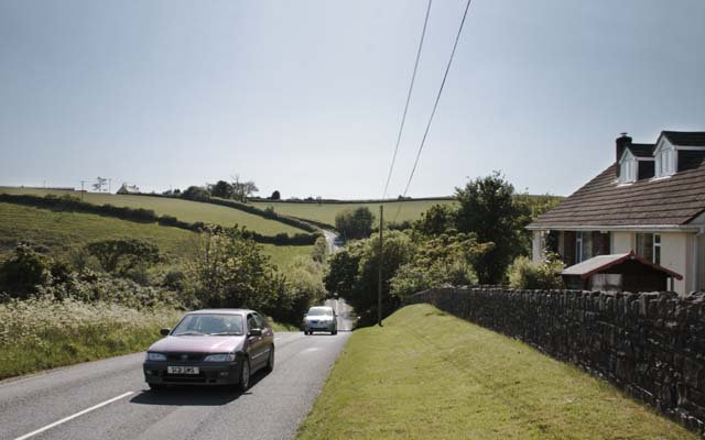
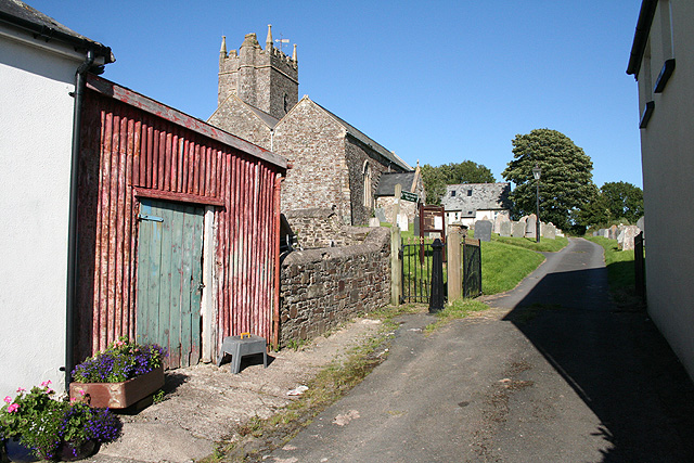
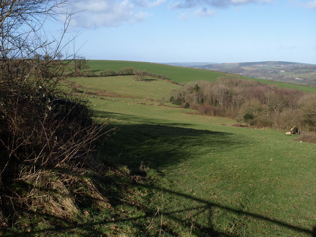
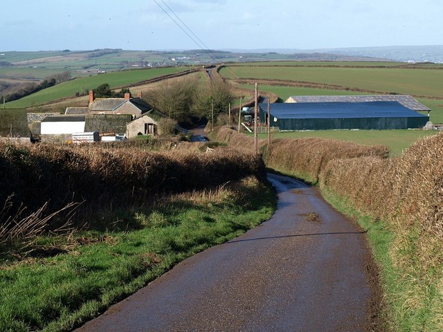
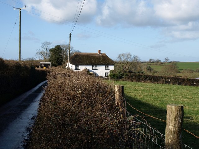
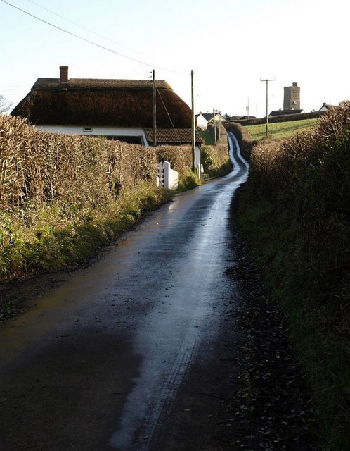
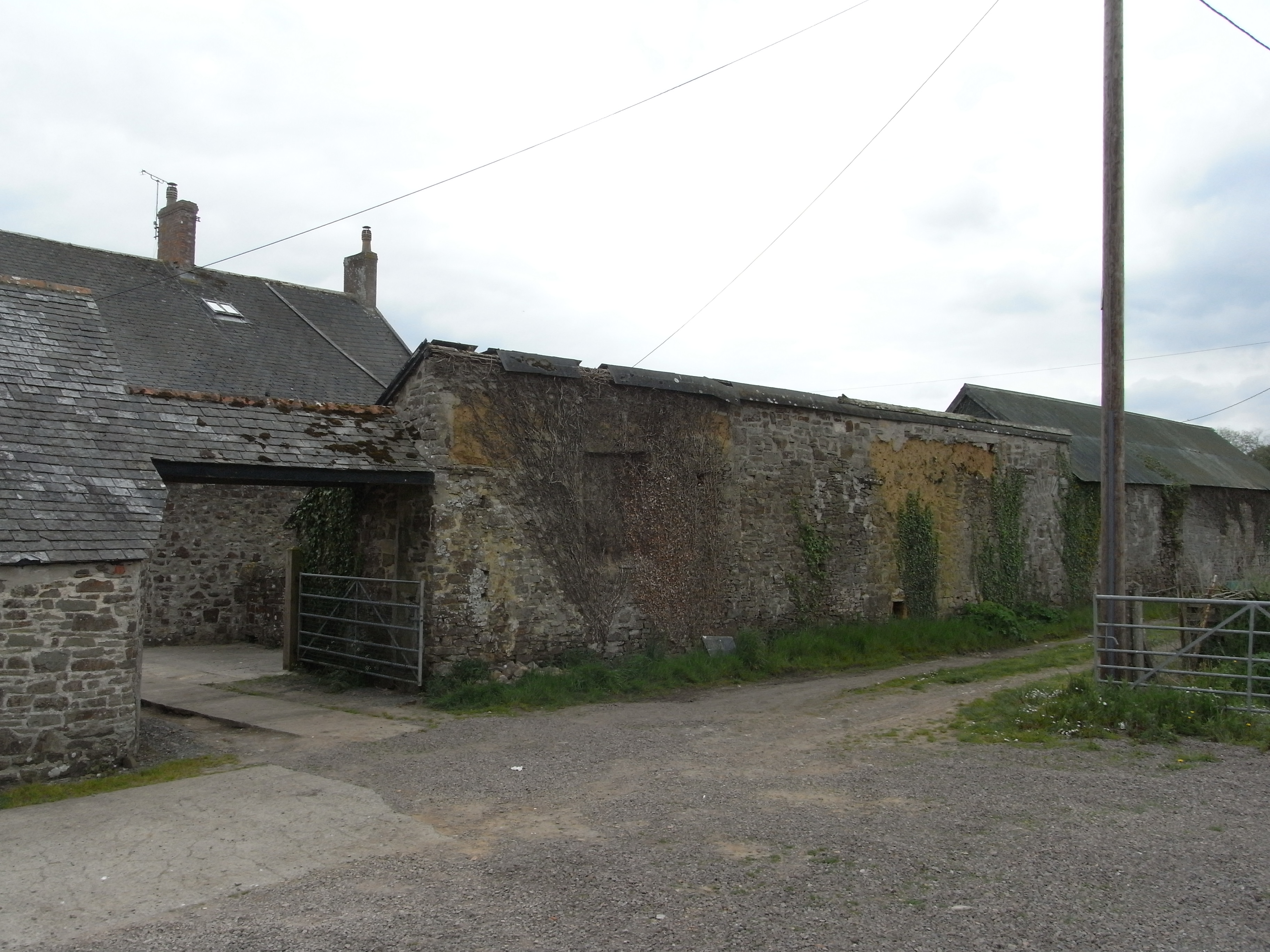
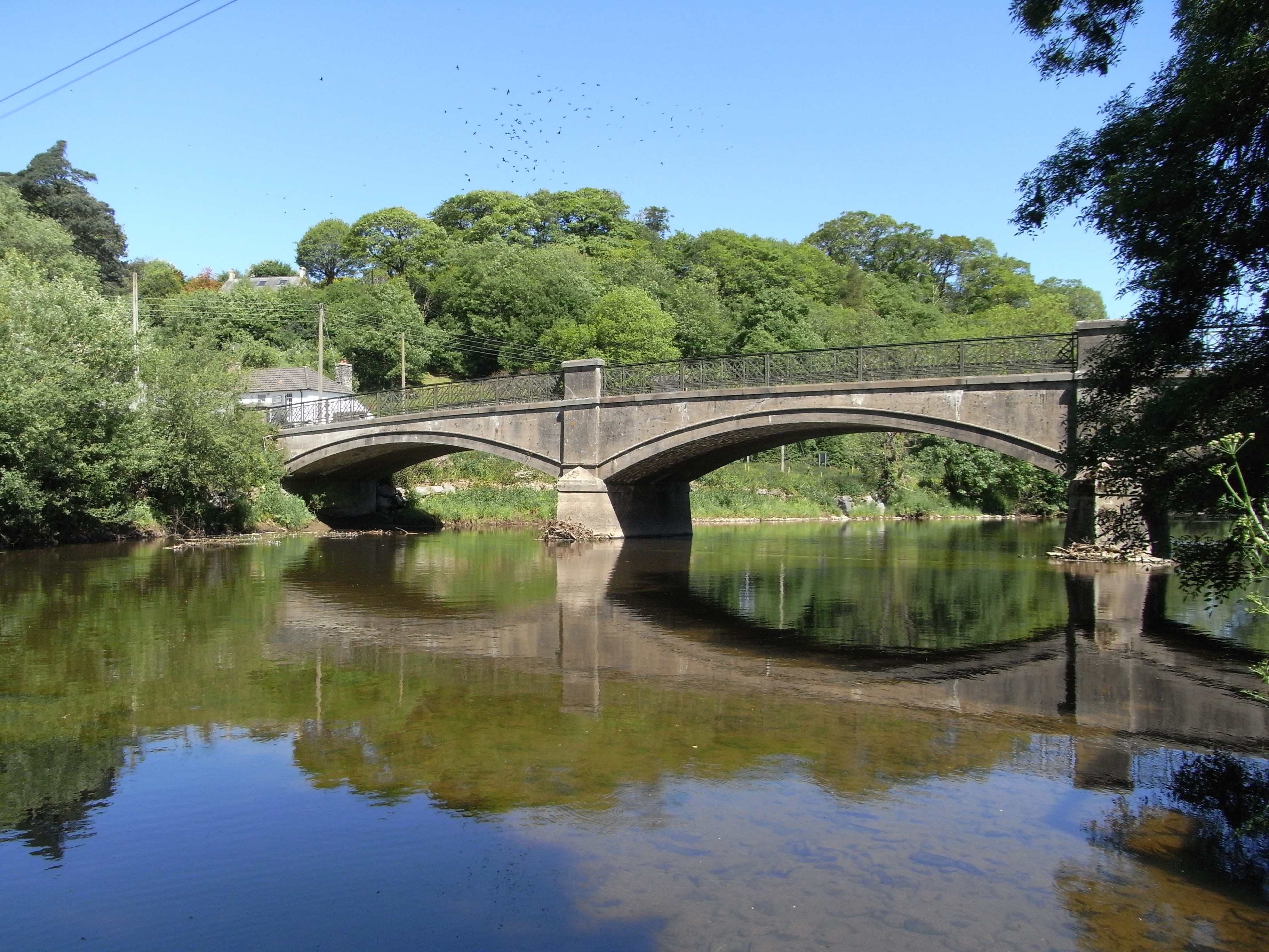
Sale's Wood Images

Images are sourced within 2km of 50.986903/-4.0359279 or Grid Reference SS5722. Thanks to Geograph Open Source API. All images are credited.

Atherington Village and Post Office Atherington lies on a crossroads and has some very pretty buildings. It still has a Post Office and shop at the crossroads with a small car park.
Atherington Village and Post Office
Atherington lies on a crossroads and has some very pretty buildings. It still has a Post Office and shop at the crossroads with a small car park.
Traffic in Atherington This illustrates a problem shared by many rural villages. The roads were not built with modern traffic in mind. This is the B3217 beside Atherington Post Office which is part of the direct route between Winkleigh and Barnstaple and regularly carries large articulated lorries on single track roads like this. Photographs were taken of a large articulated lorry on this road which had to reverse to negotiate the corner, but this photograph was submitted instead as the lorry blocked out everything else.
Traffic in Atherington
This illustrates a problem shared by many rural villages. The roads were not built with modern traffic in mind. This is the B3217 beside Atherington Post Office which is part of the direct route between Winkleigh and Barnstaple and regularly carries large articulated lorries on single track roads like this. Photographs were taken of a large articulated lorry on this road which had to reverse to negotiate the corner, but this photograph was submitted instead as the lorry blocked out everything else.
St Mary's Church, Atherington St Mary's is easily recognised from a distance by the turret on its tower.
St Mary's Church, Atherington
St Mary's is easily recognised from a distance by the turret on its tower.
Traditional Houses in Atherington A group of thatched houses in the South of Atherington Village on the West side of the B3217.
Traditional Houses in Atherington
A group of thatched houses in the South of Atherington Village on the West side of the B3217.
Modern Houses in Atherington Recently built houses in the South of Atherington Village on the East side of the B3217. Note this image joins up exactly with "Traditional Houses in Atherington" to form a panorama either side of the B3217.
Modern Houses in Atherington
Recently built houses in the South of Atherington Village on the East side of the B3217. Note this image joins up exactly with "Traditional Houses in Atherington" to form a panorama either side of the B3217.
Steep hill at Langridgeford The deepest of the valleys traversed by the B3227 which runs from Umberleigh to Great Torrington, passing through the hamlet of Langridgeford.
Steep hill at Langridgeford
The deepest of the valleys traversed by the B3227 which runs from Umberleigh to Great Torrington, passing through the hamlet of Langridgeford.
Sharp Valley in Road at Eastacombe Not as deep as the road valley at Langridgeford, but another sharp "dip" in the B3227.
Sharp Valley in Road at Eastacombe
Not as deep as the road valley at Langridgeford, but another sharp "dip" in the B3227.
Yarnscombe: by St Andrew’s church Looking east
Yarnscombe: by St Andrew’s church
Looking east
Atherington: on Boreat Moor Looking north towards the Taw valley near the entrance to Little Knowle Farm
Atherington: on Boreat Moor
Looking north towards the Taw valley near the entrance to Little Knowle Farm
Atherington: footpath to the village On Boreat Moor looking north
Atherington: footpath to the village
On Boreat Moor looking north
High Bickington: towards Lower Chapple Lower Chapple stands on the site of St John’s Chapel, within the square and by the Atherington – Torrington road. It can be seen on the horizon on the extreme left. Looking north-north-west
High Bickington: towards Lower Chapple
Lower Chapple stands on the site of St John’s Chapel, within the square and by the Atherington – Torrington road. It can be seen on the horizon on the extreme left. Looking north-north-west
High Bickington: Lee Barton Seen from the road between North Heale and Lee Cross
High Bickington: Lee Barton
Seen from the road between North Heale and Lee Cross
High Bickington: towards Langridge Langridge stands beyond the square on the skyline and by the B3227 Atherington – Torrington road. Looking north east
High Bickington: towards Langridge
Langridge stands beyond the square on the skyline and by the B3227 Atherington – Torrington road. Looking north east
Yarnscombe: near Oakenhill Bridge On the edge of Tunnel Wood, on the lane to Three Gates Cross and Yarnscombe Cross from the main Atherington – Torrington road
Yarnscombe: near Oakenhill Bridge
On the edge of Tunnel Wood, on the lane to Three Gates Cross and Yarnscombe Cross from the main Atherington – Torrington road
Valley near Atherington The head of the valley of a tributary of the Taw, whose valley can be seen in the right background. The wood in the valley floor is Moor Copse. Seen from the lane between Atherington and Christmas Close.
Valley near Atherington
The head of the valley of a tributary of the Taw, whose valley can be seen in the right background. The wood in the valley floor is Moor Copse. Seen from the lane between Atherington and Christmas Close.
Wanhill The farm is on a ridge between two valleys running north towards the Taw, and on a slight saddle. The lane, which is from Langridge, continues past a junction at Brown's Hill Head on the next rise, towards Chapelton.
Wanhill
The farm is on a ridge between two valleys running north towards the Taw, and on a slight saddle. The lane, which is from Langridge, continues past a junction at Brown's Hill Head on the next rise, towards Chapelton.
Cottage near Atherington The thatched Rectory Cottage, seen from the lane between Atherington and Christmas Close.
Cottage near Atherington
The thatched Rectory Cottage, seen from the lane between Atherington and Christmas Close.
Lane to Atherington The tiny lane from Christmas Close passes the cottage shown in <a href="https://www.geograph.org.uk/photo/668079">SS5823 : Cottage near Atherington</a>. On the hill is <a href="https://www.geograph.org.uk/photo/338749">SS5923 : St Mary's Church, Atherington</a>.
Lane to Atherington
The tiny lane from Christmas Close passes the cottage shown in SS5823 : Cottage near Atherington. On the hill is SS5923 : St Mary's Church, Atherington.
Show me another place!

Sale's Wood is located at Grid Ref: SS5722 (Lat: 50.986903, Lng: -4.0359279)

Administrative County: Devon

District: North Devon

Police Authority: Devon and Cornwall

What 3 Words

///yesterday.answer.maddening. Near Great Torrington, Devon

Related Wikis

Yarnscombe

Yarnscombe is a small village and parish in the Torridge area of Devon, England. It is situated approximately 5 miles (8 km) from Great Torrington and...

Atherington, Devon

Atherington is a village and civil parish in the North Devon district of Devon, England, about 8 miles south of Barnstaple. According to the 2001 census...

Chapelton, Devon

Chapelton is a hamlet in Devon. It is located in the civil parish of Tawstock. The hamlet is served by the Chapelton railway station. == References ==

Holy Trinity Chapel, Umberleigh

The Chapel of the Holy Trinity at Umberleigh is a ruinous mediaeval chapel in north Devon, England, largely demolished according to Lysons (1822) in about...

High Bickington

High Bickington is a rural village and civil parish in the Torridge district of Devon, England. The village lies on the B3217 road, around 6 miles (10...

Chapelton railway station

Chapelton railway station serves the hamlet of Chapelton, part of the civil parish of Tawstock in the English county of Devon. It is a rural station on...

Umberleigh

Umberleigh is a former large manor within the historic hundred of (North) Tawton, but today a small village in North Devon in England. It used to be an...

Umberleigh railway station

Umberleigh railway station serves the village of Umberleigh in Devon, England. It is on the Tarka Line to Barnstaple, 33 miles 22 chains (53.6 km) from...

Nearby Amenities

Located within 500m of 50.986903,-4.0359279
Langridgeford
Place: locality
Lat/Long: 50.983141/-4.0359536
The data included in this document is from www.openstreetmap.org. The data is made available under ODbL.

Have you been to Sale's Wood?

Leave your review of Sale's Wood below (or comments, questions and feedback).