Charlbury
Civil Parish in Oxfordshire West Oxfordshire
England
Charlbury
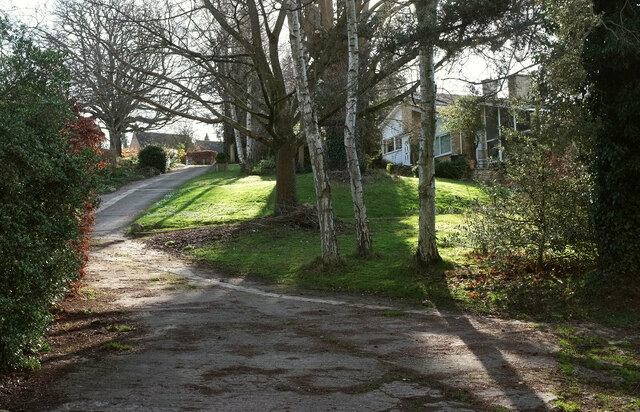
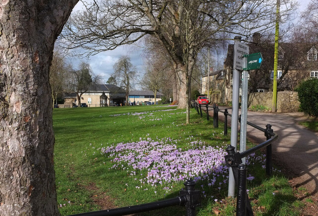
Charlbury is a civil parish located in West Oxfordshire, England. It is situated in the Evenlode Valley, approximately 6 miles northwest of Witney and 16 miles northwest of Oxford. The town is nestled in the Cotswolds, an Area of Outstanding Natural Beauty, surrounded by lush green countryside and rolling hills.
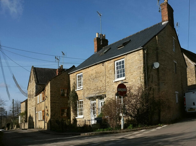
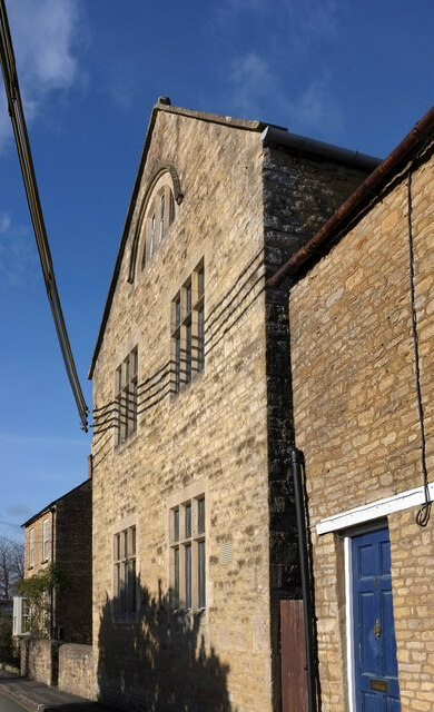
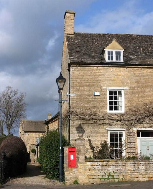
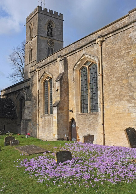
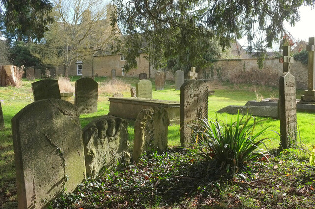
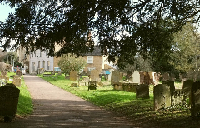
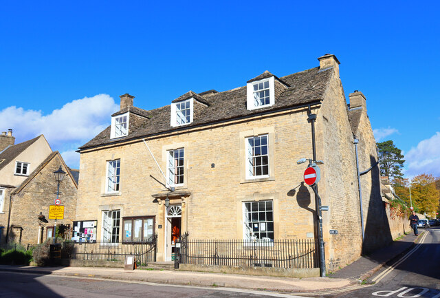
The town of Charlbury has a population of around 2,830 residents. It has a rich history, with evidence of human settlement dating back to the Iron Age. The town grew during the medieval period due to its strategic location on the road between Oxford and Worcester. Today, it retains its charm with many historic buildings, including the Church of St. Mary, which dates back to the 14th century.
Charlbury is well-known for its strong sense of community and vibrant cultural scene. The town hosts various events throughout the year, including the Charlbury Street Fair and the Charlbury Beer Festival. It also boasts a number of local amenities, such as shops, pubs, and restaurants, providing residents with everything they need.
The town is also a popular destination for outdoor enthusiasts, with plenty of opportunities for hiking, cycling, and exploring the surrounding countryside. Charlbury is well-connected, with regular train services to Oxford, London, and other nearby towns, making it an attractive place to live for commuters.
Overall, Charlbury offers a picturesque setting, a rich history, and a strong community spirit, making it a desirable place to visit or call home.
If you have any feedback on the listing, please let us know in the comments section below.
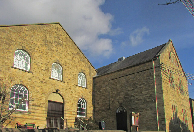
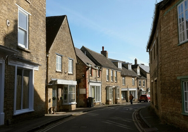
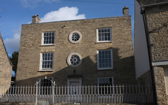
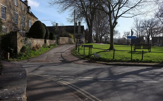
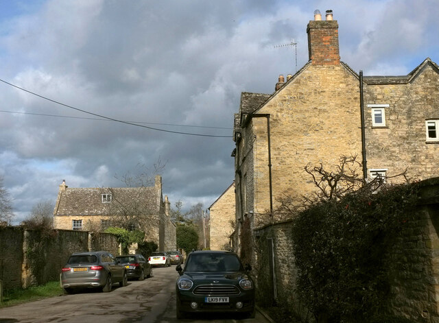
Charlbury Images
Images are sourced within 2km of 51.876209/-1.476552 or Grid Reference SP3619. Thanks to Geograph Open Source API. All images are credited.


Charlbury is located at Grid Ref: SP3619 (Lat: 51.876209, Lng: -1.476552)
Administrative County: Oxfordshire
District: West Oxfordshire
Police Authority: Thames Valley
What 3 Words
///sectors.croaking.incur. Near Charlbury, Oxfordshire
Related Wikis

Charlbury Museum
Charlbury Museum is a local museum in the town of Charlbury, Oxfordshire, England. The museum and collections are organized and run by the Charlbury Society...

Blenheim Farm
Blenheim Farm is a 1-hectare (2.5-acre) nature reserve near Charlbury in Oxfordshire. It is owned and managed by the Berkshire, Buckinghamshire and Oxfordshire...

Charlbury
Charlbury () is a town and civil parish in the Evenlode valley, about 6 miles (10 km) north of Witney in the West Oxfordshire district of Oxfordshire,...

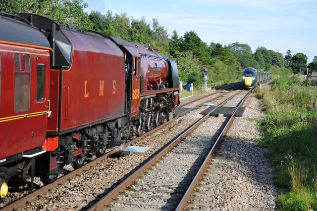
Charlbury railway station
Charlbury railway station is a railway station serving the town of Charlbury in Oxfordshire, England. This station and all trains serving it are operated...
Nearby Amenities
Located within 500m of 51.876209,-1.476552Have you been to Charlbury?
Leave your review of Charlbury below (or comments, questions and feedback).