Cattistock

Civil Parish in Dorset West Dorset

England

Cattistock

Chalmington Manor Early 19th century Tudor style manor house, with a possible late C16 core. Grade II listed.
Chalmington Manor Credit: Mike Searle

Cattistock is a civil parish located in the county of Dorset, England. Situated in the West Dorset district, it covers an area of approximately 20 square kilometers and is home to a population of around 600 residents. The village lies about 11 kilometers northwest of the county town of Dorchester.

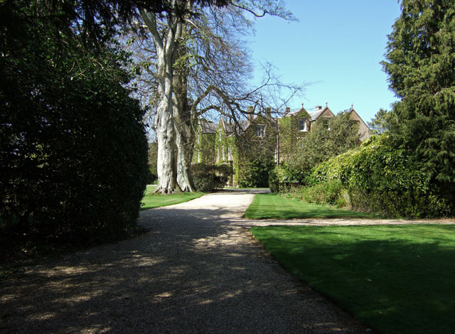
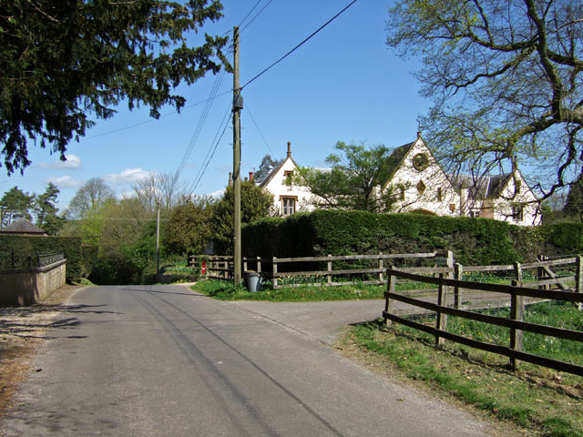
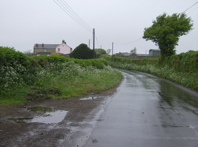
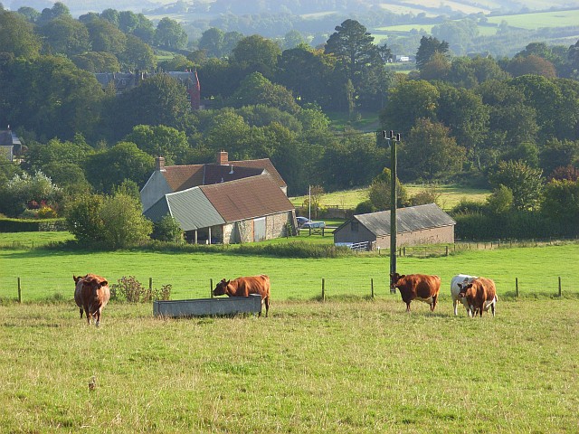
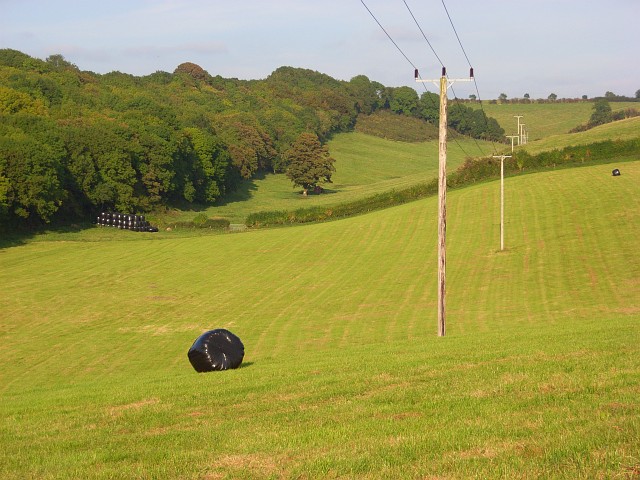
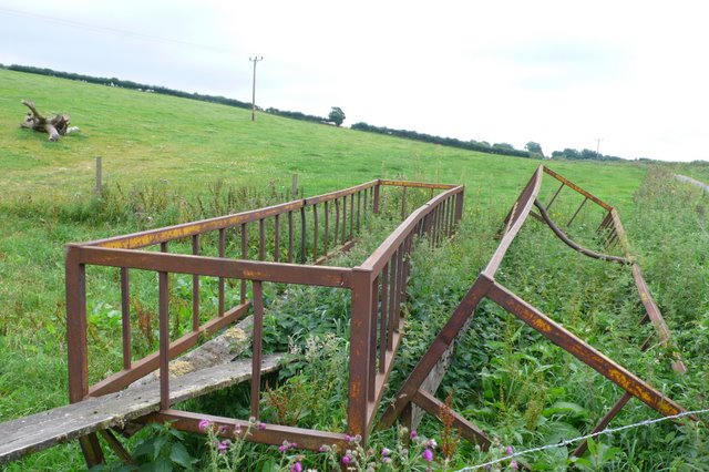
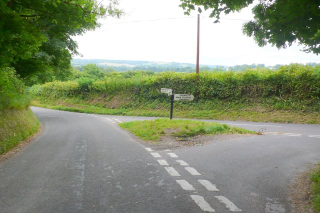
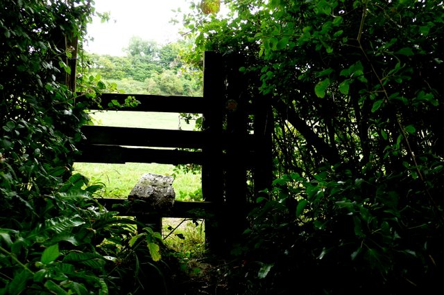
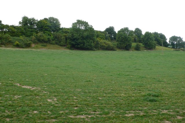
Cattistock is a quintessential English village, known for its picturesque countryside and charming rural atmosphere. The parish is surrounded by rolling hills and lush green fields, providing a stunning backdrop for nature enthusiasts and walkers. The River Frome meanders through the village, adding to its scenic beauty.

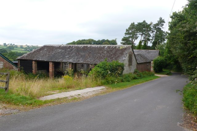
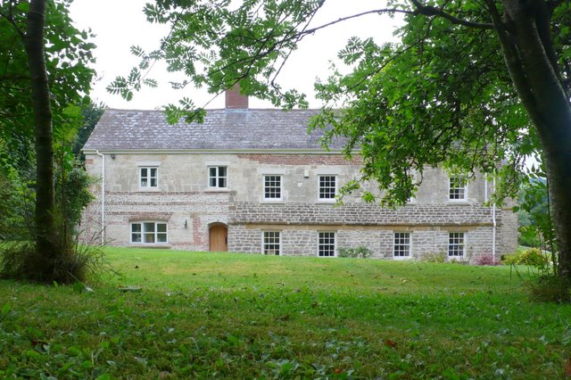
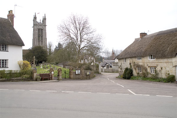
The heart of Cattistock is its village square, which is lined with historic buildings and traditional thatched cottages. The village is proud of its strong sense of community, with various local organizations and clubs actively involved in organizing events and activities throughout the year.

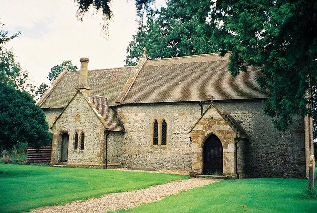
St Peter and St Paul's Church, a Grade I listed building, is a prominent feature in Cattistock. Dating back to the 13th century, the church showcases stunning architectural details and houses several notable historical artifacts.

The village also boasts a primary school, a village hall, a pub, and a cricket club, providing essential amenities and recreational opportunities for its residents. Cattistock holds an annual summer fair, attracting visitors from near and far to enjoy the festivities and experience the warm hospitality of this charming Dorset village.

If you have any feedback on the listing, please let us know in the comments section below.

Cattistock Images

Images are sourced within 2km of 50.800856/-2.564408 or Grid Reference ST6000. Thanks to Geograph Open Source API. All images are credited.

Chalmington Manor Early 19th century Tudor style manor house, with a possible late C16 core. Grade II listed.
Chalmington Manor
Early 19th century Tudor style manor house, with a possible late C16 core. Grade II listed.
Chalmington The former manor house stable block across the road from the manor, has since been converted into a substantial residence called "Woodlands".
Chalmington
The former manor house stable block across the road from the manor, has since been converted into a substantial residence called "Woodlands".
Sad Signpost at Sandhills This is one of several such signposts in the area that need some TLC from Dorset County Council. Viewpoint is from the south looking towards Evershot.
Sad Signpost at Sandhills
This is one of several such signposts in the area that need some TLC from Dorset County Council. Viewpoint is from the south looking towards Evershot.
A Glimpse of Metford Mill Metford Mill is no longer a mill, but is today a Grade II Listed late C17 farmhouse.
A Glimpse of Metford Mill
Metford Mill is no longer a mill, but is today a Grade II Listed late C17 farmhouse.
Access Road to Holway Farm View is from the Public Footpath. Modern farm buildings that are all too visible further along, unfortunately screen views of Holway Farm's 17th century farmhouse.
Access Road to Holway Farm
View is from the Public Footpath. Modern farm buildings that are all too visible further along, unfortunately screen views of Holway Farm's 17th century farmhouse.
Lane north of Cattistock On my way in to Cattistock the previous evening, I forgot to get a picture of this square as we passed through.  Too keen to get to my bed and breakfast.  So I had to nip back the following morning.  It was a Bank Holiday so it was raining, after weeks of fine weather.
Lane north of Cattistock
On my way in to Cattistock the previous evening, I forgot to get a picture of this square as we passed through. Too keen to get to my bed and breakfast. So I had to nip back the following morning. It was a Bank Holiday so it was raining, after weeks of fine weather.
Holway Farm Like many farms in this area, this is primarily cattle.  It is probably beef rather than dairy farming.  Amongst the cows spot the bull, lying down observing us carefully.
Holway Farm
Like many farms in this area, this is primarily cattle. It is probably beef rather than dairy farming. Amongst the cows spot the bull, lying down observing us carefully.
Yeovil to Dorchester railway line Formerly a double-track railway, the single line is now skewed more towards the middle of the track bed, a common practice.
Yeovil to Dorchester railway line
Formerly a double-track railway, the single line is now skewed more towards the middle of the track bed, a common practice.
Higher Chalmington Looking down to Higher Chalmington Farm from the public bridleway on the hillside above.
Higher Chalmington
Looking down to Higher Chalmington Farm from the public bridleway on the hillside above.
Silage bales, Chalmington Looking into the dry valley of Charity Bottom flanked by Norton Plantation.
Silage bales, Chalmington
Looking into the dry valley of Charity Bottom flanked by Norton Plantation.
Chantmarle Farm The farm is close to the northern edge of the square just off the Frome St Quentin to Higher Chalmington road
Chantmarle Farm
The farm is close to the northern edge of the square just off the Frome St Quentin to Higher Chalmington road
Chantmarle Farm Field just to the south of the farm with old hay feeders rusting slowly in the nettles
Chantmarle Farm
Field just to the south of the farm with old hay feeders rusting slowly in the nettles
Chalmington , Dorset Old barns on the west side of the road running through this hamlet
Chalmington , Dorset
Old barns on the west side of the road running through this hamlet
Chalmington Dorset This splendid old Dorset farmhouse has recently been renovated to a very high standard.
Chalmington Dorset
This splendid old Dorset farmhouse has recently been renovated to a very high standard.
Road junction near Cattistock This is the junction where the road to Chalmington leaves the Cattistock to Sydling road just north of Castle Hill
Road junction near Cattistock
This is the junction where the road to Chalmington leaves the Cattistock to Sydling road just north of Castle Hill
Stile on Castle Hill This stile takes the footpath from the Chalmington road into the field on the north side of Castle Hill where it runs south across the slopes to Cattistock
Stile on Castle Hill
This stile takes the footpath from the Chalmington road into the field on the north side of Castle Hill where it runs south across the slopes to Cattistock
Castle Hill Cattistock View of the castle mound which is probably an iron age fort, from the footpath from Chalmington road to Cattistock
Castle Hill Cattistock
View of the castle mound which is probably an iron age fort, from the footpath from Chalmington road to Cattistock
Railway Track Sandhills This is on the Maiden Newton to Yeovil line just north of Cattistock. View looking south
Railway Track Sandhills
This is on the Maiden Newton to Yeovil line just north of Cattistock. View looking south
Show me another place!

Cattistock is located at Grid Ref: ST6000 (Lat: 50.800856, Lng: -2.564408)

Administrative County: Dorset

District: West Dorset

Police Authority: Dorset

What 3 Words

///frowns.dividing.simulations. Near Maiden Newton, Dorset

Related Wikis

Chalmington

Chalmington is a small hamlet close to the village of Cattistock, in west Dorset, England. == References == == External links == Media related to Chalmington...

Cattistock

Cattistock is a village and civil parish in west Dorset, England, sited in the upper reaches of the Frome Valley, 8 miles (13 km) northwest of the county...

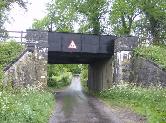
Cattistock railway station

Cattistock Halt railway station was a railway station in the county of Dorset in England. It was served by trains on what is now known as the Heart of...

Chilfrome

Chilfrome () is a small village and civil parish in the county of Dorset in southwest England. It lies in the Dorset unitary authority administrative area...

Nearby Amenities

Located within 500m of 50.800856,-2.564408
Material: wood
Power: pole
Source: bing
Lat/Long: 50.7987141/-2.5584814
Material: wood
Power: pole
Source: bing
Lat/Long: 50.7994921/-2.5587373
Material: wood
Power: pole
Source: bing
Lat/Long: 50.8002785/-2.5589974
Material: wood
Power: pole
Source: bing
Lat/Long: 50.8011093/-2.5592645
Material: wood
Power: pole
Source: bing
Lat/Long: 50.8015472/-2.5713533
Material: wood
Power: pole
Source: bing
Lat/Long: 50.8017476/-2.569488
Material: wood
Power: pole
Source: bing
Lat/Long: 50.8019431/-2.5676697
Material: wood
Power: pole
Source: bing
Lat/Long: 50.8019521/-2.5595044
Material: wood
Power: pole
Source: bing
Lat/Long: 50.8021186/-2.5659533
Material: wood
Power: pole
Source: bing
Lat/Long: 50.8023013/-2.5643107
Material: wood
Power: pole
Source: bing
Lat/Long: 50.8025217/-2.5622238
Material: wood
Power: pole
Source: bing
Lat/Long: 50.8026875/-2.5605863
Material: wood
Power: pole
Source: bing
Lat/Long: 50.8027841/-2.5597689
Material: wood
Power: pole
Source: bing
Lat/Long: 50.8036261/-2.5600455
Material: wood
Power: pole
Source: bing
Lat/Long: 50.8044256/-2.5603102
Middle Hill
Place: locality
Source: OS_OpenData_StreetView
Lat/Long: 50.8005036/-2.5651682
Lankham Bottom
Place: locality
Source: OS_OpenData_StreetView
Lat/Long: 50.7967536/-2.5653291
Charity Bottom
Place: locality
Source: OS_OpenData_StreetView
Lat/Long: 50.8024903/-2.5648999
The data included in this document is from www.openstreetmap.org. The data is made available under ODbL.

Have you been to Cattistock?

Leave your review of Cattistock below (or comments, questions and feedback).