Catthorpe
Civil Parish in Leicestershire Harborough
England
Catthorpe

Catthorpe is a civil parish located in the county of Leicestershire, England. Situated approximately 11 miles southeast of the city of Leicester, the parish covers an area of around 1.5 square miles. It is bordered by the parishes of Swinford, Husbands Bosworth, and Lilbourne.
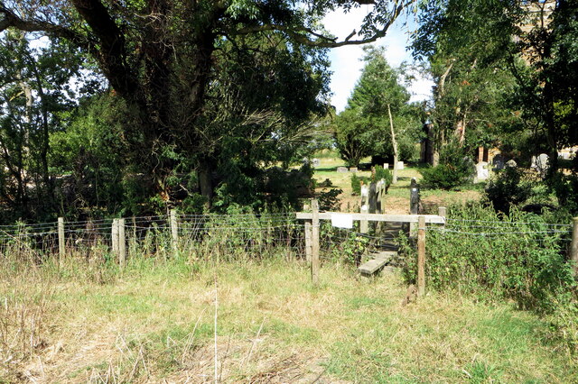
The village of Catthorpe itself is small, with a population of around 200 residents. It is primarily a rural area, characterized by rolling countryside and picturesque landscapes. The parish is well-known for its agricultural activities, with farming playing a significant role in the local economy.
The village features a mix of traditional and modern buildings, with some dating back to the 17th century. It has a close-knit community that enjoys a peaceful and tranquil environment. The parish also benefits from its proximity to major transportation routes, including the M1 motorway and the A14 road, making it easily accessible.
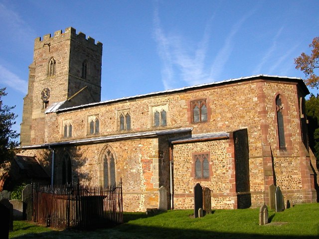
Although Catthorpe is predominantly residential, there are a few amenities and services available for its residents. These include a village hall, a primary school, and a church. Additionally, the nearby town of Lutterworth provides a wider range of amenities, including shops, restaurants, and leisure facilities.
Overall, Catthorpe offers a charming and idyllic countryside setting, making it an attractive place to live for those seeking a peaceful and rural lifestyle.
If you have any feedback on the listing, please let us know in the comments section below.
Catthorpe Images
Images are sourced within 2km of 52.401254/-1.190077 or Grid Reference SP5578. Thanks to Geograph Open Source API. All images are credited.


Catthorpe is located at Grid Ref: SP5578 (Lat: 52.401254, Lng: -1.190077)
Administrative County: Leicestershire
District: Harborough
Police Authority: Leicestershire
What 3 Words
///sneezing.abundance.expansion. Near Lutterworth, Leicestershire
Related Wikis

Catthorpe
Catthorpe is a village and civil parish in the Harborough district of Leicestershire, England. It is located beside the River Avon and close to the A5...

Swinford Preceptory
Swinford Preceptory is a former monastery of the Knights Hospitaller located near to the village of Swinford, Leicestershire. == History == The preceptory...
Catthorpe Interchange
The Catthorpe Interchange is a major intersection at the southern end of the M6, the western end of the A14 and junction 19 of the M1 near the village...

Dow Bridge
Dow Bridge is a location in the English Midlands where the A5 road (the former Roman Watling Street) crosses the River Avon. It is the point where the...
Lilbourne railway station
Lilbourne railway station was a railway station serving Lilbourne and nearby Catthorpe in Leicestershire, England. It was on the Rugby and Stamford Railway...
Cave's Inn Pits
Cave's Inn Pits is a 5.8-hectare (14-acre) biological Site of Special Scientific Interest south-west of Shawell in Leicestershire.These disused gravel...
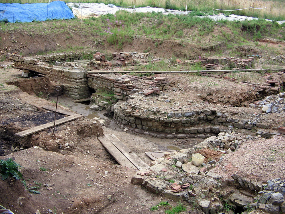
Tripontium
Tripontium (Latin for "Place of three bridges") was a town in Roman Britain. It lay on the Roman road later called Watling Street (and known today as the...
Swinford, Leicestershire
Swinford is a nucleated village and civil parish in the Harborough district of the English county of Leicestershire. The population of the civil parish...
Nearby Amenities
Located within 500m of 52.401254,-1.190077Have you been to Catthorpe?
Leave your review of Catthorpe below (or comments, questions and feedback).