Catthorpe

Settlement in Leicestershire Harborough

England

Catthorpe

Footbridge over the M1 The M1 is a north–south motorway connecting London to Leeds, where it joins the A1(M) near Aberford. It was the first motorway to be completed in the United Kingdom.
The motorway is 193 miles long and was constructed in four phases. Most of the motorway was opened between 1959 and 1968 but the southern end was extended in 1977 and the northern end was extended in 1999.
Footbridge over the M1 Credit: N Chadwick

Catthorpe is a small village located in Leicestershire, England. Situated approximately 12 miles southeast of the city of Leicester, Catthorpe is surrounded by picturesque countryside and offers a peaceful and rural setting.

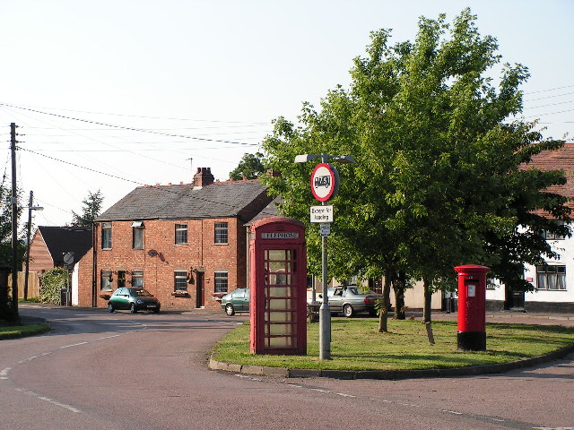
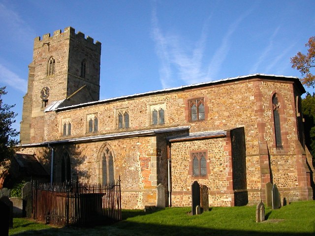
The village itself is home to a population of around 200 people, creating a close-knit and friendly community. The architecture of Catthorpe is predominantly traditional, with charming cottages and farmhouses lining the streets. The village is characterized by its idyllic atmosphere and stunning views of the surrounding farmland.

Despite its small size, Catthorpe boasts a number of amenities for its residents. These include a local pub, The Pug & Pup, where locals and visitors can enjoy a refreshing drink or a meal. Additionally, there is a village hall that serves as a hub for community events and gatherings.

Catthorpe's location also makes it a desirable place to live for those seeking a balance between rural tranquility and accessibility to urban areas. The village benefits from excellent transport links, with easy access to major roads such as the M1 and A14. This allows residents to easily commute to nearby towns and cities for work or leisure activities.

Overall, Catthorpe offers a charming and welcoming environment for its residents, with its quaint architecture, friendly community, and convenient location. It is a place where individuals can enjoy the beauty of the English countryside while still having easy access to the amenities and opportunities of nearby urban areas.

If you have any feedback on the listing, please let us know in the comments section below.
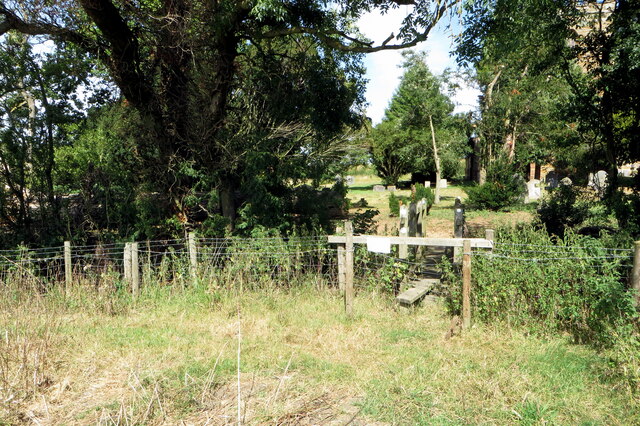
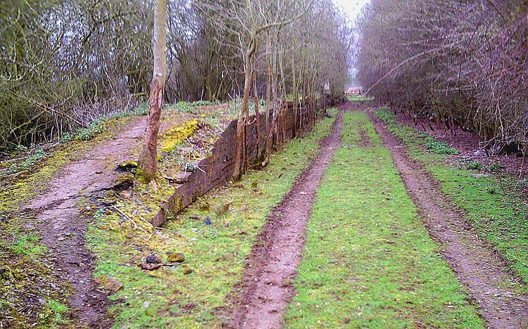
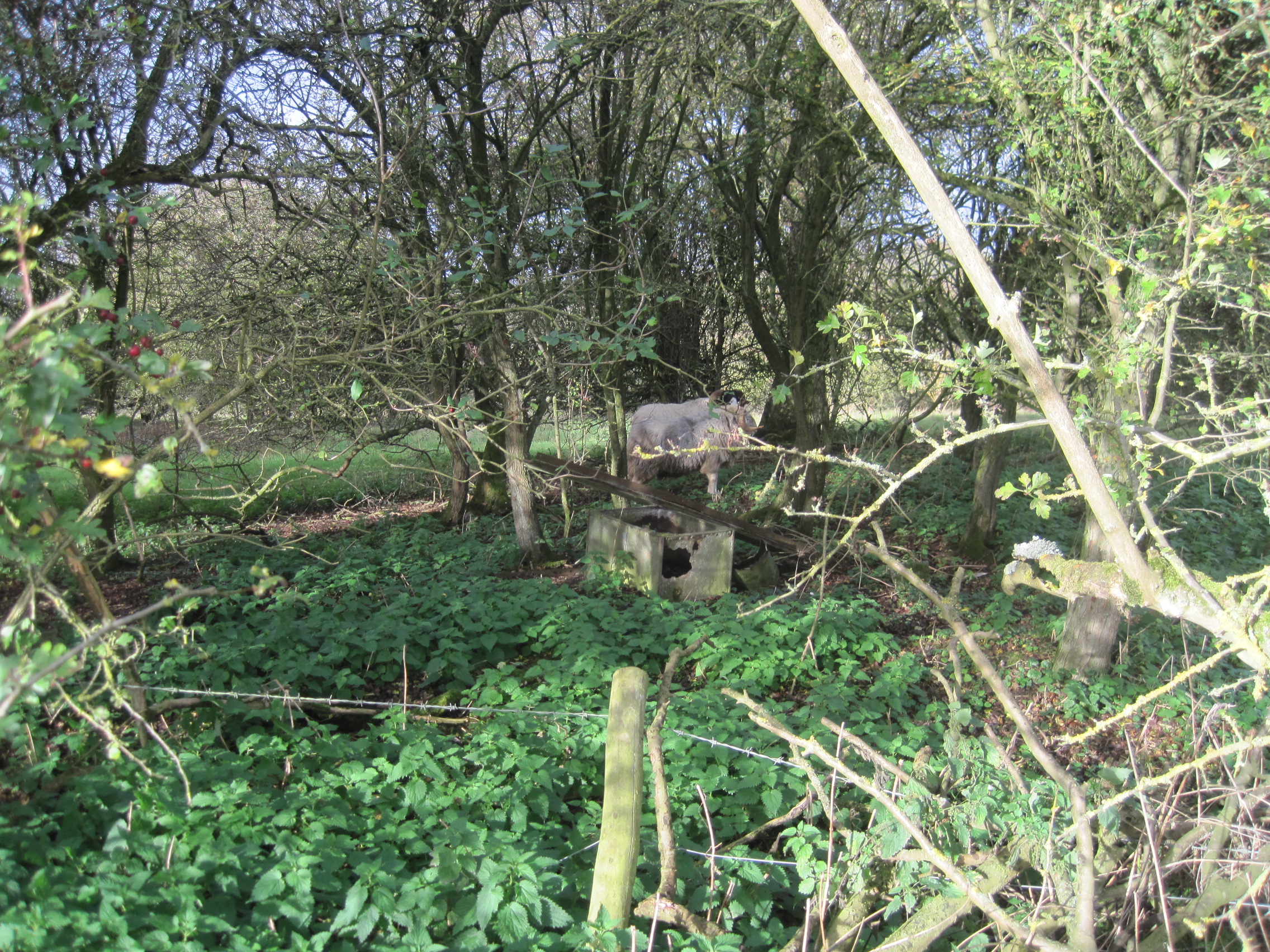
Catthorpe Images

Images are sourced within 2km of 52.398805/-1.188108 or Grid Reference SP5578. Thanks to Geograph Open Source API. All images are credited.

Footbridge over the M1 The M1 is a north–south motorway connecting London to Leeds, where it joins the A1(M) near Aberford. It was the first motorway to be completed in the United Kingdom.
The motorway is 193 miles long and was constructed in four phases. Most of the motorway was opened between 1959 and 1968 but the southern end was extended in 1977 and the northern end was extended in 1999.
Footbridge over the M1
The M1 is a north–south motorway connecting London to Leeds, where it joins the A1(M) near Aberford. It was the first motorway to be completed in the United Kingdom. The motorway is 193 miles long and was constructed in four phases. Most of the motorway was opened between 1959 and 1968 but the southern end was extended in 1977 and the northern end was extended in 1999.
M1 near Shawell Traffic heading south here is approaching the Catthorpe interchange where the motorway meets the M6 and A14. The huge sign gives motorists the necessary instructions. This is the view from the road, before the new sign was erected: <a href="https://www.geograph.org.uk/photo/3586450">SP5580 : M1 southbound</a>
M1 near Shawell
Traffic heading south here is approaching the Catthorpe interchange where the motorway meets the M6 and A14. The huge sign gives motorists the necessary instructions. This is the view from the road, before the new sign was erected: SP5580 : M1 southbound
Bridleway to Swinford Corner A brief burst of sunshine on an otherwise generally overcast afternoon illuminates the track where it bends to cross the motorway.
Bridleway to Swinford Corner
A brief burst of sunshine on an otherwise generally overcast afternoon illuminates the track where it bends to cross the motorway.
Bridge over the M1 near Shawell The bridge carries a bridleway which eventually leads to Swinford Corner. The weight limit is 32 tons although it seems unlikely that anything that heavy would ever use it. The purple pipe has obviously been placed here for a purpose but it is not obvious what that is.
Bridge over the M1 near Shawell
The bridge carries a bridleway which eventually leads to Swinford Corner. The weight limit is 32 tons although it seems unlikely that anything that heavy would ever use it. The purple pipe has obviously been placed here for a purpose but it is not obvious what that is.
The M1 heading north The bridge carries a bridleway from Shawell to Swinford.
The M1 heading north
The bridge carries a bridleway from Shawell to Swinford.
Gantry - M1 South
Gantry - M1 South
M6 joining M1 Southbound
Gantry - M1 South
Gantry - M1 South
Yelvertoft Road crossing the M1 Southbound
Watling Street near Dunsmore Here's a previous visit <a title="https://www.geograph.org.uk/photo/6840640" href="https://www.geograph.org.uk/photo/6840640">Link</a>
Watling Street near Dunsmore
Here's a previous visit Link
Footpath up to Lilbourne Gorse
Shakespeare's Avon Way going down the hill
Footbridge into All Saints' churchyard
Looking down the Rugby Road to the motte on the hill
Lilbourne war memorial on The Green
Lilbourne Village Hall
Lilbourne play area
Lilbourne play area
Show me another place!

Catthorpe is located at Grid Ref: SP5578 (Lat: 52.398805, Lng: -1.188108)

Administrative County: Leicestershire

District: Harborough

Police Authority: Leicestershire

What 3 Words

///indirect.rebel.streak. Near Rugby, Warwickshire

Nearby Locations

Catthorpe Catthorpe

Related Wikis

Catthorpe

Catthorpe is a village and civil parish in the Harborough district of Leicestershire, England. It is located beside the River Avon and close to the A5...

Catthorpe Interchange

The Catthorpe Interchange is a major intersection at the southern end of the M6, the western end of the A14 and junction 19 of the M1 near the village...

Lilbourne railway station

Lilbourne railway station was a railway station serving Lilbourne and nearby Catthorpe in Leicestershire, England. It was on the Rugby and Stamford Railway...

Dow Bridge

Dow Bridge is a location in the English Midlands where the A5 road (the former Roman Watling Street) crosses the River Avon. It is the point where the...

Swinford Preceptory

Swinford Preceptory is a former monastery of the Knights Hospitaller located near to the village of Swinford, Leicestershire. == History == The preceptory...

Lilbourne

Lilbourne is a village and civil parish in West Northamptonshire in England. It is close to the M1 motorway which runs east of the village, and the A5...

Cave's Inn Pits

Cave's Inn Pits is a 5.8-hectare (14-acre) biological Site of Special Scientific Interest south-west of Shawell in Leicestershire.These disused gravel...

Swinford, Leicestershire

Swinford is a nucleated village and civil parish in the Harborough district of the English county of Leicestershire. The population of the civil parish...

Nearby Amenities

Located within 500m of 52.398805,-1.188108
Catthorpe
Is In: Leicestershire
Place: village
Lat/Long: 52.3986614/-1.1888679
Restaurant
Manor Farm Tea Rooms
Addr City: Lutterworth
Addr Country: GB
Addr Postcode: LE17 6DB
Addr Street: Main Street
Addr Village: Catthorpe
Fhrs Authority: Harborough
Fhrs Id: 355274
Fhrs Local Authority Id: 09630/2001/2/000
Lat/Long: 52.3987105/-1.1918893
Bus Stop
Cherry Tree PH
Bus: yes
Naptan AtcoCode: 260018300
Naptan Bearing: W
Naptan BusStopType: CUS
Naptan CommonName: Cherry Tree PH
Naptan Indicator: outside
Naptan Landmark: Cherry Tree
Naptan NaptanCode: leijmdgj
Naptan Notes: Non-Hourly - County
Naptan Street: B5414
Naptan Verified: no
Public Transport: platform
Source: naptan_import
Lat/Long: 52.3982695/-1.1895696
Bus Stop
Cherry Tree PH
Bus: yes
Naptan AtcoCode: 260018301
Naptan Bearing: E
Naptan BusStopType: CUS
Naptan CommonName: Cherry Tree PH
Naptan Indicator: opposite
Naptan Landmark: Cherry Tree
Naptan NaptanCode: leijmdgm
Naptan Notes: Non-Hourly - County
Naptan Street: B5414
Naptan Verified: no
Public Transport: platform
Source: naptan_import
Lat/Long: 52.3983956/-1.1895967
Manor Farm Shop
Addr City: Lutterworth
Addr Country: GB
Addr Postcode: LE17 6DB
Addr Street: Main Street
Addr Village: Catthorpe
Fhrs Authority: Harborough
Fhrs Id: 355274
Fhrs Local Authority Id: 09630/2001/2/000
Shop: farm
Source: visit
Lat/Long: 52.3985979/-1.1917301
Post Box
Collection Times: Mo-Fr 16:45; Sa 07:00
Operator: Royal Mail
Operator Wikidata: Q638098
Post Box Type: lamp
Ref: LE17 36
Royal Cypher: EIIR
Royal Cypher Wikidata: Q33102113
Source: survey
Lat/Long: 52.398397/-1.1895175
Generator Method: photovoltaic
Generator Output Electricity: yes
Generator Source: solar
Generator Type: solar_photovoltaic_panel
Location: roof
Power: generator
Lat/Long: 52.3993195/-1.1919874
Generator Method: photovoltaic
Generator Output Electricity: yes
Generator Source: solar
Generator Type: solar_photovoltaic_panel
Location: roof
Power: generator
Lat/Long: 52.3992589/-1.18991
Generator Method: photovoltaic
Generator Output Electricity: yes
Generator Source: solar
Generator Type: solar_photovoltaic_panel
Location: roof
Power: generator
Lat/Long: 52.3977511/-1.1848755
Pub
Cherry Tree Inn
Addr City: Lutterworth
Addr Country: GB
Addr Postcode: LE17 6DB
Addr Street: Main Street
Addr Village: Catthorpe
Fhrs Authority: Harborough
Fhrs Id: 1109538
Fhrs Local Authority Id: 19/00021/FOODHS
Lat/Long: 52.3982637/-1.1892003
Baltic Lodge
Tourism: hostel
Lat/Long: 52.3989866/-1.1817043
Community Centre
Straumēni
Lat/Long: 52.3989579/-1.1813792
The data included in this document is from www.openstreetmap.org. The data is made available under ODbL.

Have you been to Catthorpe?

Leave your review of Catthorpe below (or comments, questions and feedback).