Cattespool
Settlement in Worcestershire Bromsgrove
England
Cattespool
Cattespool is a small village located in the county of Worcestershire, England. Situated about 10 miles south of the city of Worcester, it is nestled amidst the scenic beauty of the Malvern Hills Area of Outstanding Natural Beauty. The village is home to a population of around 500 residents.
Cattespool is known for its peaceful and idyllic setting, surrounded by lush green countryside and rolling hills. The village offers a tranquil escape from urban life, with its charming rural atmosphere and friendly community. It is an ideal destination for those seeking a slower pace of life and a close connection to nature.
Despite its small size, Cattespool has a rich history. The village dates back to the medieval period and retains some of its historical architecture, including a few timber-framed cottages and a 13th-century church. The local pub, The Cat and Fiddle, is a popular gathering spot for both locals and visitors, offering a cozy atmosphere and a selection of traditional English ales.
While Cattespool may lack some of the amenities and facilities found in larger towns, it compensates with its picturesque surroundings and access to outdoor activities. The nearby Malvern Hills provide ample opportunities for hiking, cycling, and horseback riding, with stunning panoramic views of the surrounding countryside.
Overall, Cattespool is a charming village that appeals to those seeking a peaceful retreat in the heart of the Worcestershire countryside. Its natural beauty, historical charm, and sense of community make it a delightful place to visit or call home.
If you have any feedback on the listing, please let us know in the comments section below.
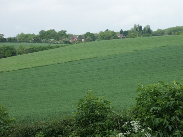
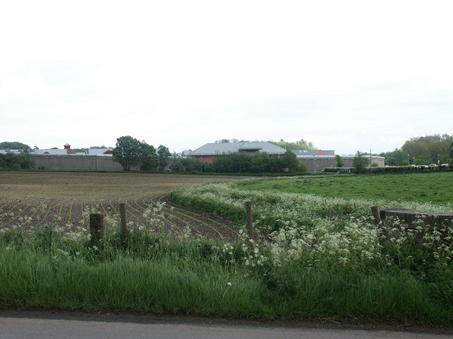
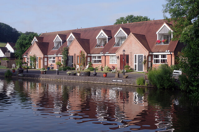
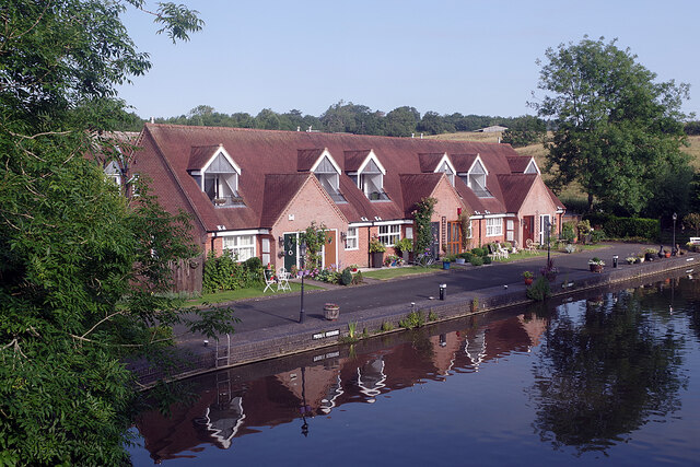
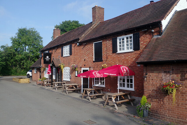
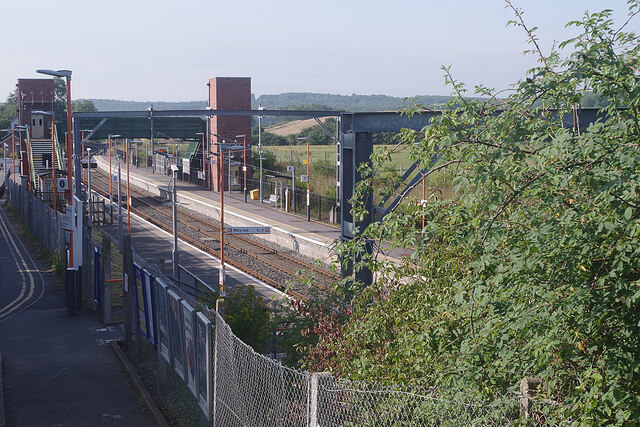
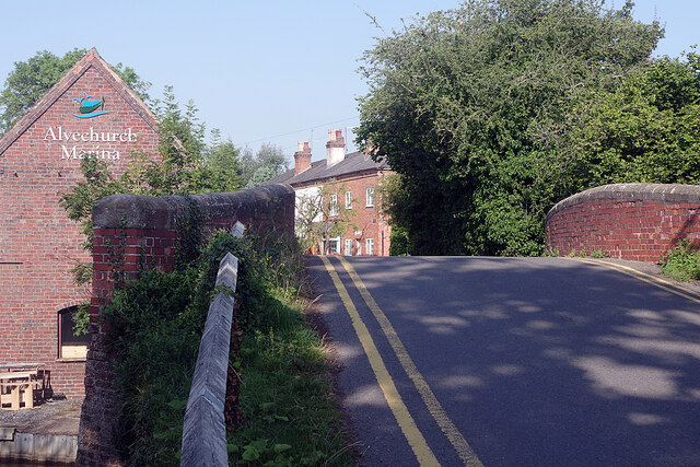
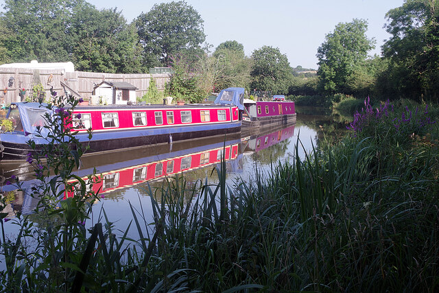
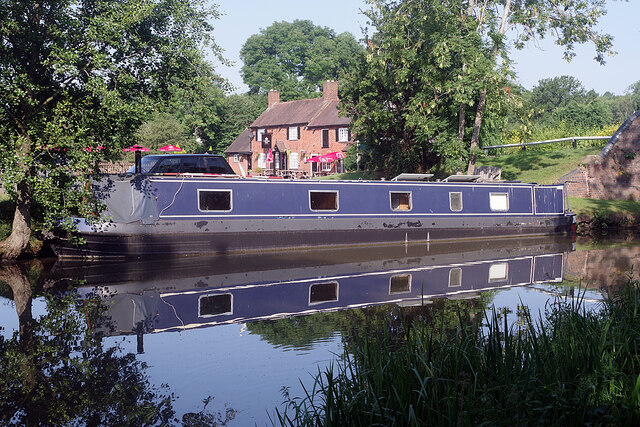
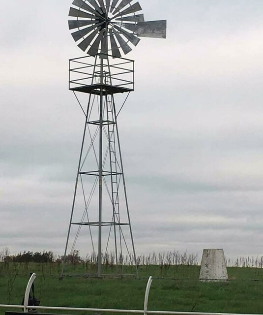
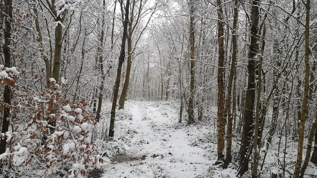
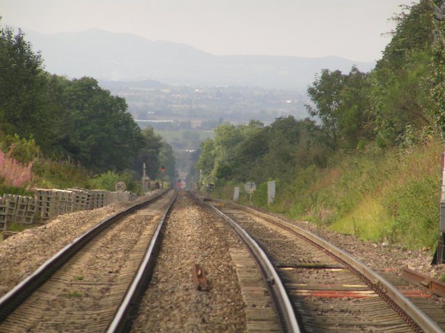
Cattespool Images
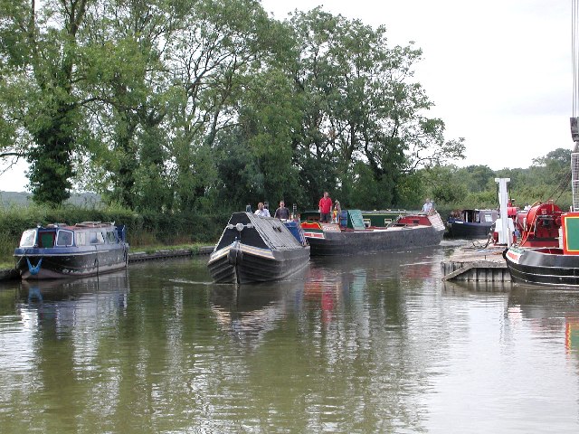
Images are sourced within 2km of 52.3384/-1.9918 or Grid Reference SP0071. Thanks to Geograph Open Source API. All images are credited.


Cattespool is located at Grid Ref: SP0071 (Lat: 52.3384, Lng: -1.9918)
Administrative County: Worcestershire
District: Bromsgrove
Police Authority: West Mercia
What 3 Words
///zealous.prone.curry. Near Alvechurch, Worcestershire
Nearby Locations
Related Wikis

Blackwell Golf Club
Blackwell Golf Club is a golf club situated in the village of Blackwell near Bromsgrove, Worcestershire, England. It has been host to regional qualifying...
Tutnall and Cobley
Tutnall and Cobley is a civil parish in the Bromsgrove District of Worcestershire, England. It has a population of 1,543. The villages of Tutnall and...

Blackwell railway station
Blackwell railway station was a railway station serving Blackwell in the English county of Worcestershire. == History == It was opened by the Birmingham...
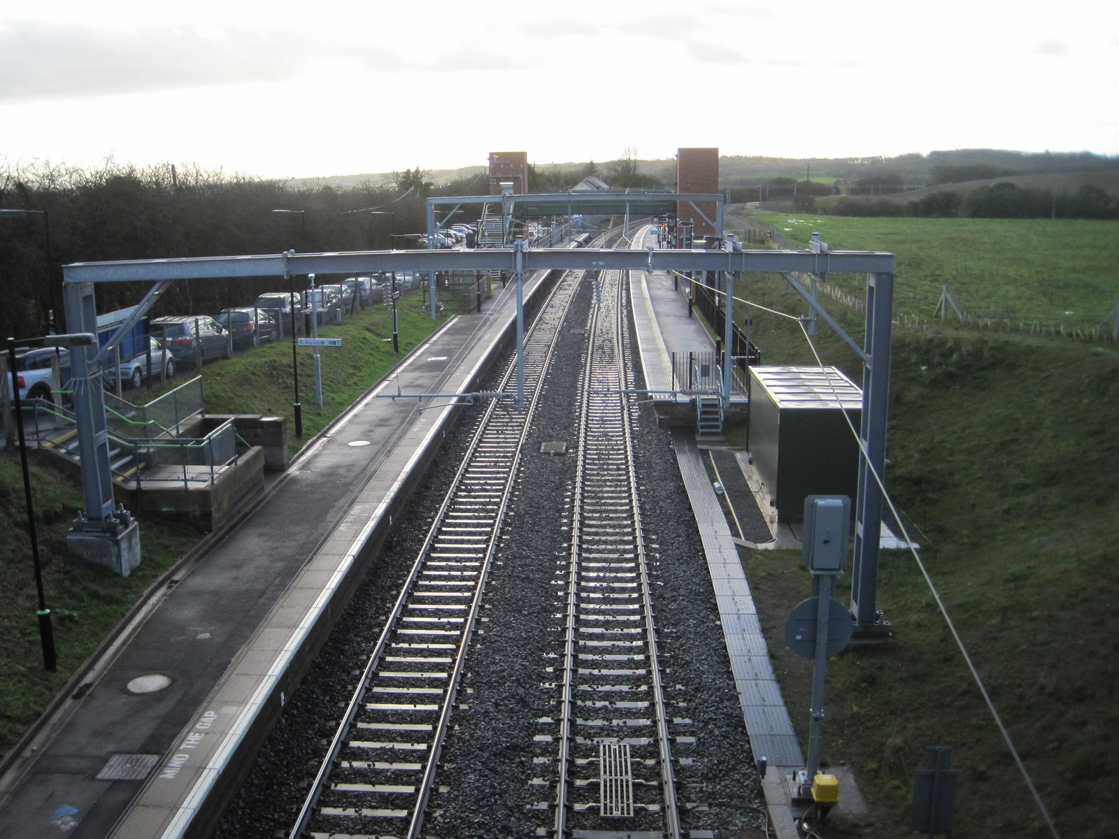
Alvechurch railway station
Alvechurch railway station serves the village of Alvechurch in North Worcestershire, England. It is on the Cross-City Line 11+1⁄4 miles (18 km) southwest...

Blackwell, Worcestershire
Blackwell is a village located in the North-East of Worcestershire and comes under the jurisdiction of Lickey and Blackwell Parish Council. Nearby large...

HM Prison Hewell
HM Prison Hewell is a multiple security category men's prison in the village of Tardebigge in Worcestershire, England. The prison is operated by His Majesty...

Tutnall
Tutnall is a village in the Bromsgrove district of Worcestershire. It is in the civil parish of Tutnall and Cobley which has a population of 1,543. The...

Tardebigge
Tardebigge () is a village in Worcestershire, England. The village is most famous for the Tardebigge Locks, a flight of 30 canal locks that raise the Worcester...
Nearby Amenities
Located within 500m of 52.3384,-1.9918Have you been to Cattespool?
Leave your review of Cattespool below (or comments, questions and feedback).