Catteshall
Settlement in Surrey Waverley
England
Catteshall
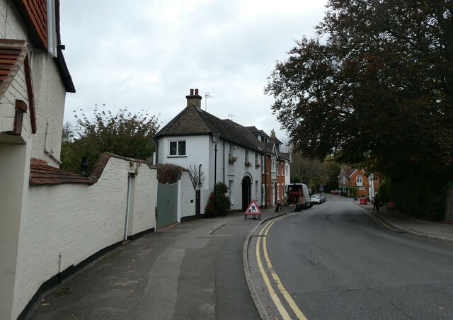
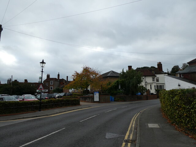
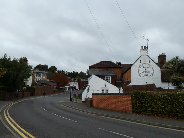
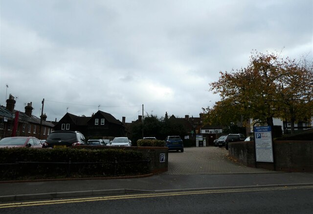
Catteshall is a small village located in the county of Surrey, England. Situated approximately 2 miles south of Godalming, it forms part of the Waverley Borough Council district. The village is nestled in a picturesque rural setting, surrounded by rolling hills and lush green countryside.
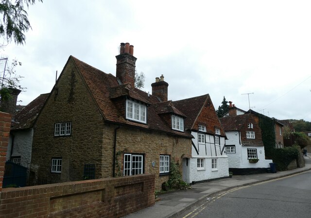
Catteshall is known for its quaint charm and traditional English character. The village features a handful of well-preserved historic buildings, including a beautiful 12th-century church, St. John the Baptist. This Norman church showcases stunning architectural details and serves as a reminder of the area's rich history.
One of the notable attractions in Catteshall is the Catteshall Manor, a grand manor house that dates back to the 16th century. This magnificent building is set within extensive grounds and offers a glimpse into the area's past.
Despite its small size, Catteshall enjoys a thriving community spirit. The village has a close-knit population that actively participates in various social events and activities. It also benefits from convenient access to nearby amenities and services, thanks to its proximity to Godalming.
The natural beauty surrounding Catteshall provides ample opportunities for outdoor enthusiasts. The village is located near the River Wey, offering scenic walking and cycling routes along its banks. The countryside surrounding Catteshall is also perfect for countryside rambles and exploring the idyllic Surrey landscape.
In summary, Catteshall is a charming village in Surrey that offers a peaceful and picturesque setting, rich history, and a strong sense of community.
If you have any feedback on the listing, please let us know in the comments section below.
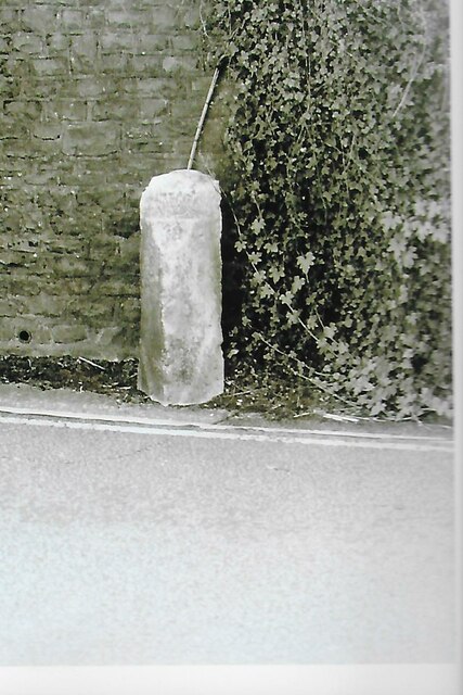
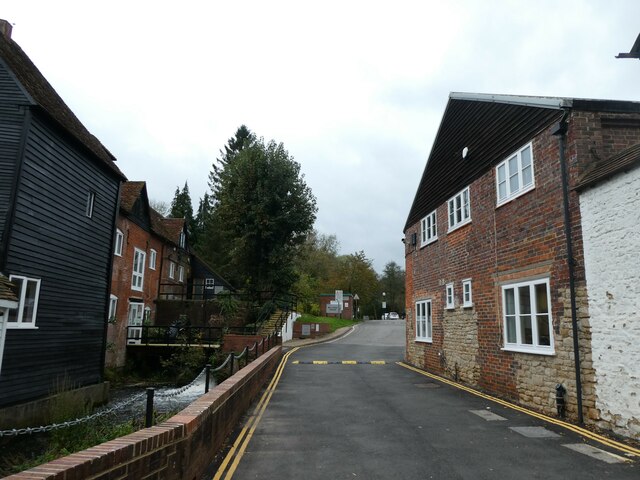
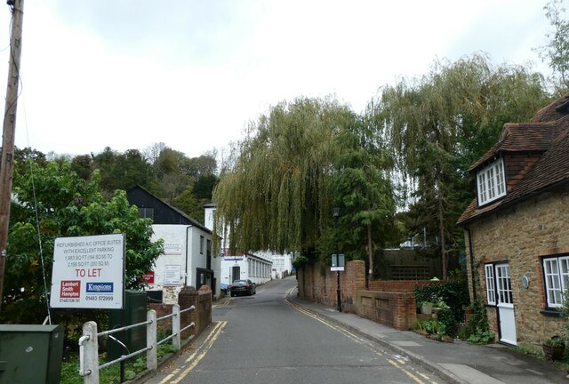
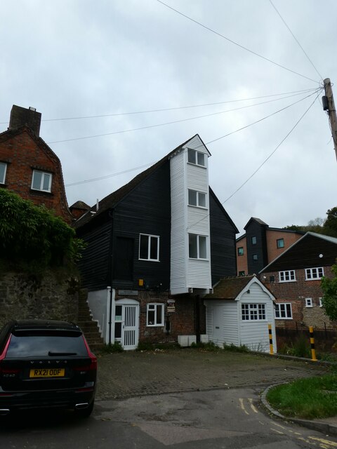
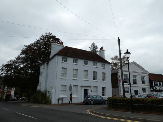
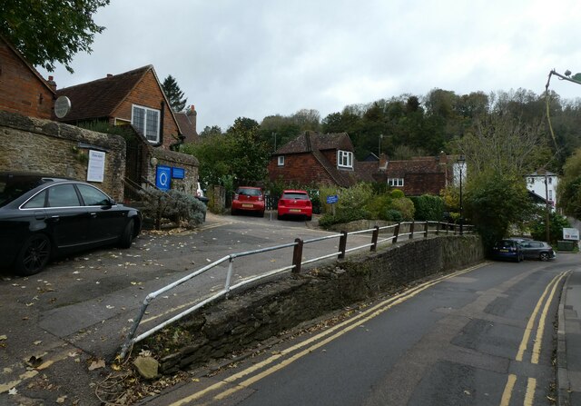
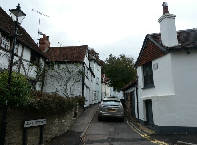
Catteshall Images
Images are sourced within 2km of 51.187978/-0.600337 or Grid Reference SU9744. Thanks to Geograph Open Source API. All images are credited.
Catteshall is located at Grid Ref: SU9744 (Lat: 51.187978, Lng: -0.600337)
Administrative County: Surrey
District: Waverley
Police Authority: Surrey
What 3 Words
///flows.toys.friday. Near Godalming, Surrey
Nearby Locations
Related Wikis

Godalming United Church
Godalming United Church is a non-conformist church formed in 1977 of a union of the local Methodist and URC churches. Built in 1903, it is located between...

Godalming Congregational Church
The building formerly known as Godalming Congregational Church was the Congregational chapel serving the ancient town of Godalming, in the English county...

Meadrow Unitarian Chapel
Meadrow Unitarian Chapel (also known as Meadrow Chapel and Godalming Unitarian Church) is a Unitarian chapel in the Farncombe area of Godalming, Surrey...
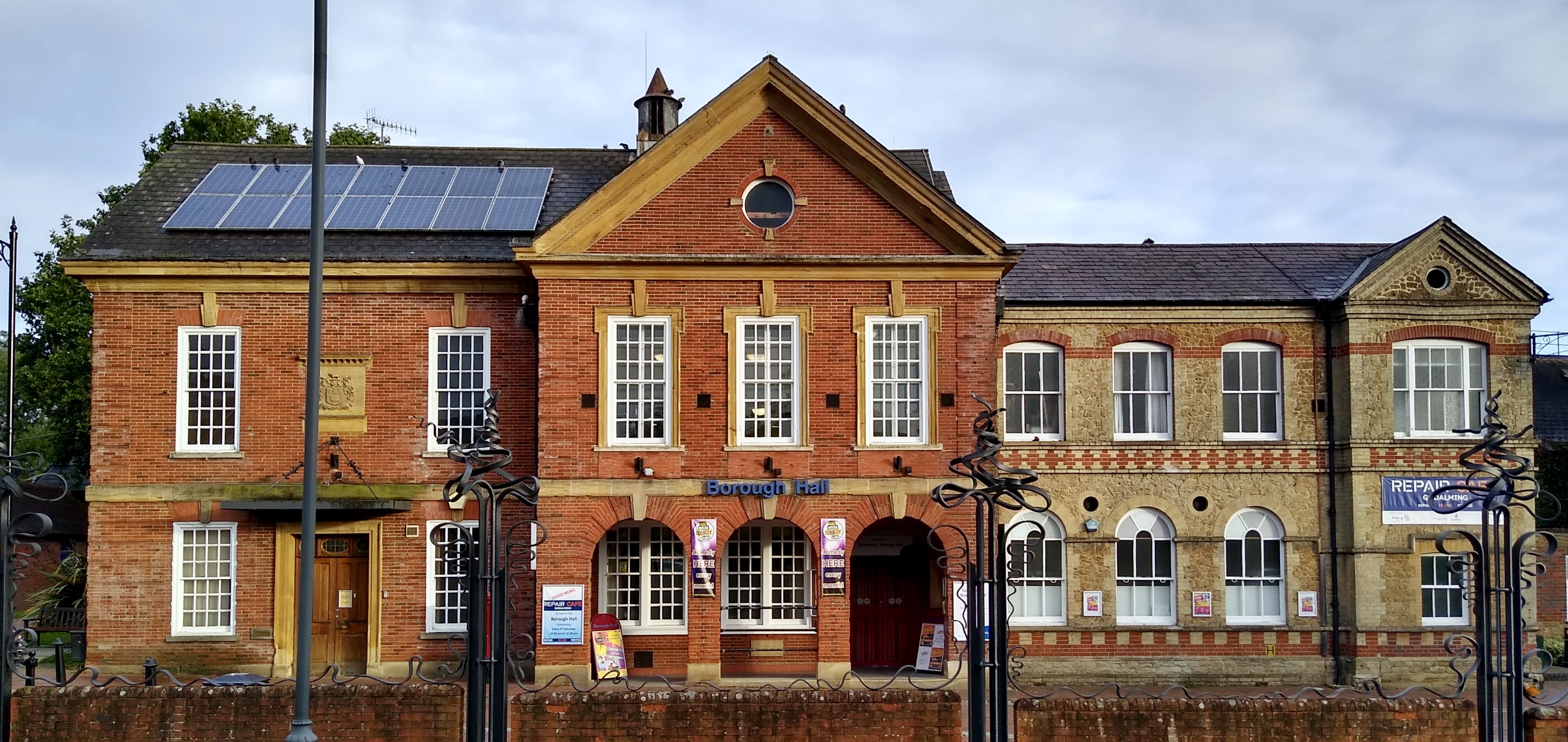
Godalming Borough Hall
Godalming Borough Hall is a municipal building in Bridge Street in Godalming, England. The building is the meeting place of Godalming Town Council. �...

Godalming Town F.C.
Godalming Town Football Club is a semi-professional football club based in Godalming, Surrey, England. They are currently members of the Southern Combination...
The Burys
The Burys at Godalming, Surrey was used as the venue for nine first-class cricket matches between 1821 and 1830. It was used by the Godalming Cricket Club...

Farncombe
Farncombe, historically Fernecome, is a village and peripheral settlement of Godalming in Waverley, Surrey, England and is approximately 0.8 miles (1.3...
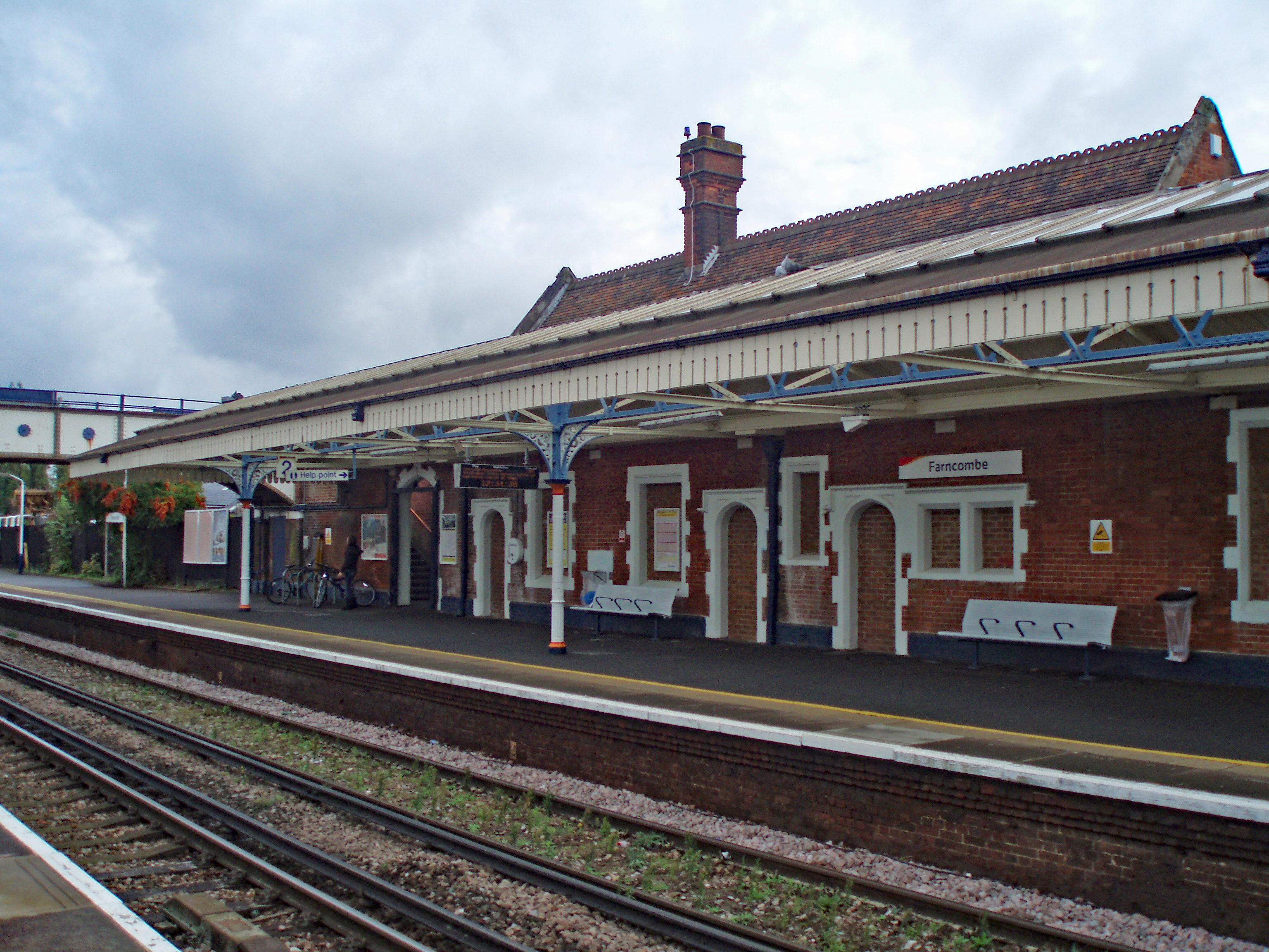
Farncombe railway station
Farncombe railway station opened in 1897 as a minor stop on the Portsmouth Direct Line between Guildford and Godalming, England. It is said to have been...
Nearby Amenities
Located within 500m of 51.187978,-0.600337Have you been to Catteshall?
Leave your review of Catteshall below (or comments, questions and feedback).