Catterton

Civil Parish in Yorkshire Selby

England

Catterton

The Aagrah The Aagrah Indian restaurant on the A64. This used to be The Wild Man public house.
The Aagrah Credit: John Davidson

Catterton is a small civil parish located in the county of Yorkshire, in the north of England. It is situated approximately 9 miles east of the city of York and covers an area of around 3 square miles. The parish is predominantly rural, characterized by rolling hills, open fields, and scattered woodland.

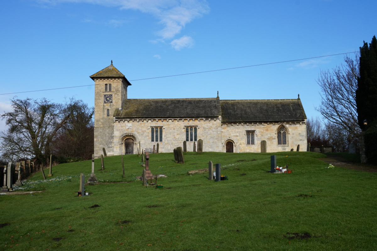
The village of Catterton itself is a charming and picturesque settlement, with a population of around 200 residents. It consists of a mix of traditional stone-built houses, some of which date back several centuries, giving the village a sense of history and heritage. The centerpiece of the village is the Church of St. Edmund, a beautiful medieval church that stands as a testament to the area's long-standing religious significance.

Although small in size, Catterton offers a range of amenities for its residents and visitors. These include a village hall, a local pub, and a primary school, providing essential services and a sense of community. The surrounding countryside also offers opportunities for outdoor activities such as walking, cycling, and horse riding, with several footpaths and bridleways crisscrossing the area.

Catterton is well-connected to the nearby city of York and other surrounding towns by a network of roads, making it easily accessible for those wishing to explore the wider area. Overall, Catterton is a peaceful and idyllic parish that offers a tranquil retreat from the hustle and bustle of urban life.

If you have any feedback on the listing, please let us know in the comments section below.
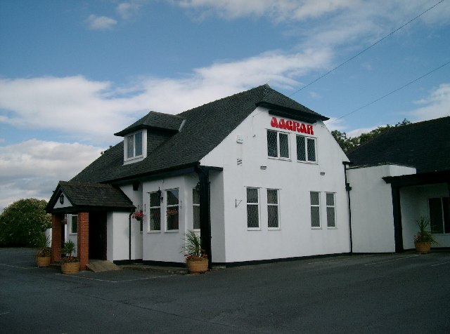
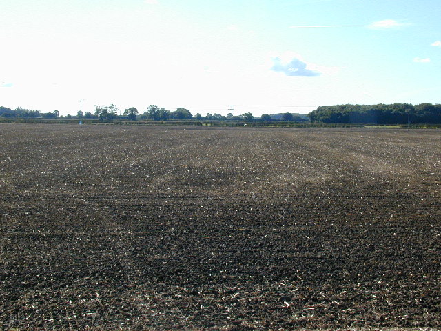
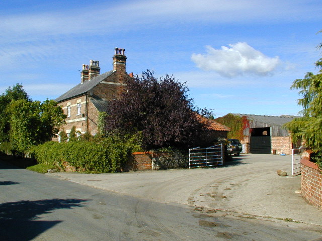
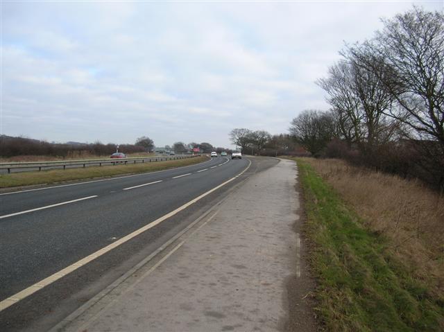
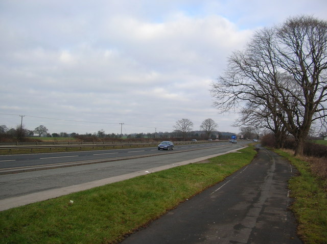
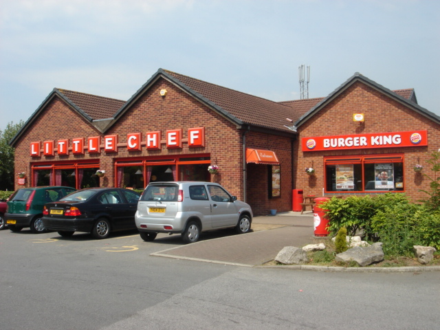
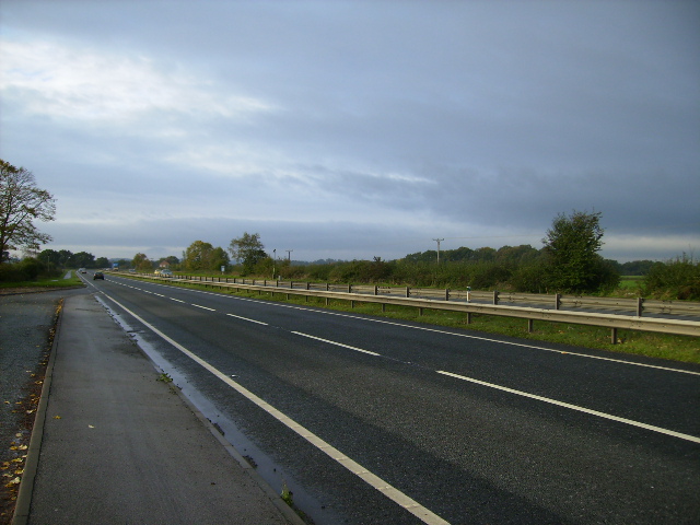
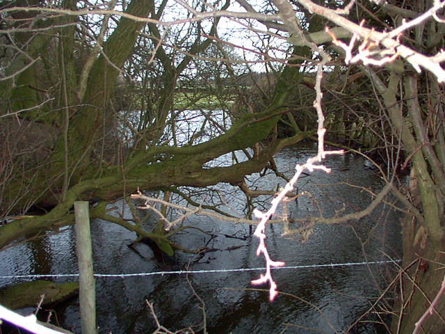
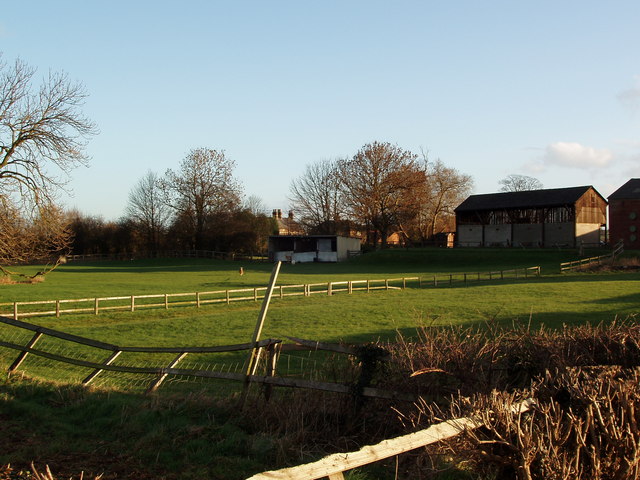
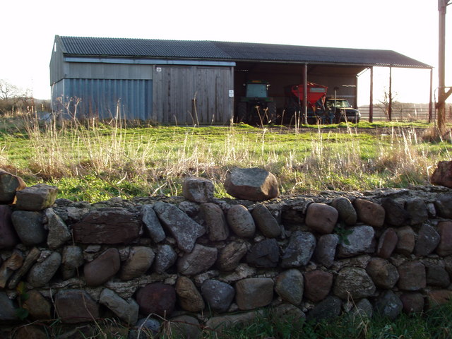
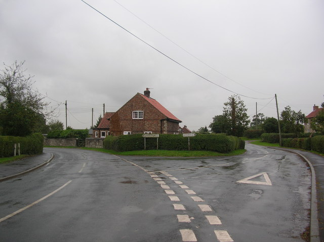
Catterton Images

Images are sourced within 2km of 53.904075/-1.226148 or Grid Reference SE5045. Thanks to Geograph Open Source API. All images are credited.

The Aagrah The Aagrah Indian restaurant on the A64. This used to be The Wild Man public house.
The Aagrah
The Aagrah Indian restaurant on the A64. This used to be The Wild Man public house.
View of the stream called "The Foss" from Rolling Bridge Autumnal shot showing hawthorn loaded with berries to the left of the picture.  Just north of the A64.  Minor road which was very busy on a Saturday morning, as it is a short cut into York.
View of the stream called "The Foss" from Rolling Bridge
Autumnal shot showing hawthorn loaded with berries to the left of the picture. Just north of the A64. Minor road which was very busy on a Saturday morning, as it is a short cut into York.
View south from minor road west of Bilbrough Southern end of the Vale of York, looking south. Ferrybridge power station is occasionally visible through the trees.  Large arable fields make for a monotonous landscape.
View south from minor road west of Bilbrough
Southern end of the Vale of York, looking south. Ferrybridge power station is occasionally visible through the trees. Large arable fields make for a monotonous landscape.
Eastgarth farmhouse Large farmhouse at the eastern end of the hamlet of Catterton on Moor Lane - note exotic chimneys.
Eastgarth farmhouse
Large farmhouse at the eastern end of the hamlet of Catterton on Moor Lane - note exotic chimneys.
A64 - Bowbridge farm Bowbridge farm is on the right. Away from the camera is towards York.
A64 - Bowbridge farm
Bowbridge farm is on the right. Away from the camera is towards York.
A64 Looking along the A64 towards York, between York and Tadcaster. The section at the side is a cycle route that runs along this stretch of the A64, making Tadcaster now easily accessible from York by bike, although not the most pleasant route.
A64
Looking along the A64 towards York, between York and Tadcaster. The section at the side is a cycle route that runs along this stretch of the A64, making Tadcaster now easily accessible from York by bike, although not the most pleasant route.
Little Chef on the A64 near Askham Richard. Little Chefs are hard to find nowadays - at one time they were everywhere.
Little Chef
on the A64 near Askham Richard. Little Chefs are hard to find nowadays - at one time they were everywhere.
View near Bilbrough on the A64 towards Leeds
Footpath to Tadcaster Footpath and waymarker to Tadcaster crossing arable farmland and passing to the southwest of woodland.
Footpath to Tadcaster
Footpath and waymarker to Tadcaster crossing arable farmland and passing to the southwest of woodland.
Moat A view of the Moat by Old Street Farm near Catterton.
Moat
A view of the Moat by Old Street Farm near Catterton.
Catterton Beck Catterton Beck passing beneath county road before joining The Foss.
Catterton Beck
Catterton Beck passing beneath county road before joining The Foss.
Paddock and Farm Buildings, Beck Farm, Catterton The village of Catterton lies on the intersection of four Geograph squares and Beck Farm is in SE5045.  This view is from Moor Lane on the Western edge of the village.
Paddock and Farm Buildings, Beck Farm, Catterton
The village of Catterton lies on the intersection of four Geograph squares and Beck Farm is in SE5045. This view is from Moor Lane on the Western edge of the village.
Catterton Beck from Catterton lane Catterton Beck from the bridge on Catterton Lane in early morning winter sun.
Catterton Beck from Catterton lane
Catterton Beck from the bridge on Catterton Lane in early morning winter sun.
Farm Building in Catterton, North Yorkshire Catterton is a typical small farming hamlet centred around two or three farms.  It also situated at the intersection of four geograph squares and this farm building is situated within SE5145.
Farm Building in Catterton, North Yorkshire
Catterton is a typical small farming hamlet centred around two or three farms. It also situated at the intersection of four geograph squares and this farm building is situated within SE5145.
Footpath to Tadcaster, re-instated by farmer Although essentially the same view as the geograph first, this photograph taken on an early February day in morning sun has the benefit of much drier ground and some growth of crops. The re-instatement of the footpath after ploughing and sowing can clearly be seen.
Footpath to Tadcaster, re-instated by farmer
Although essentially the same view as the geograph first, this photograph taken on an early February day in morning sun has the benefit of much drier ground and some growth of crops. The re-instatement of the footpath after ploughing and sowing can clearly be seen.
Crops under Water near Rolling Bridge Although the days before this photograph was taken were generally dry and sunny, heavy rain in the preceding weeks has water-logged the ground and has led to some fields with young arable crops becoming waterlogged in their lowest parts, pointing to drainage problems.
Crops under Water near Rolling Bridge
Although the days before this photograph was taken were generally dry and sunny, heavy rain in the preceding weeks has water-logged the ground and has led to some fields with young arable crops becoming waterlogged in their lowest parts, pointing to drainage problems.
Woods near Bilbrough
Footpath through field
Show me another place!

Catterton is located at Grid Ref: SE5045 (Lat: 53.904075, Lng: -1.226148)

Division: West Riding

Administrative County: North Yorkshire

District: Selby

Police Authority: North Yorkshire

What 3 Words

///rejected.glassware.elephant. Near Tadcaster, North Yorkshire

Nearby Locations

Catterton

Related Wikis

Nearby Amenities

Located within 500m of 53.904075,-1.226148
Catterton Hall
Historic: archaeological_site
Source: OS 1:25k
Lat/Long: 53.9027691/-1.2251927
Post Box
Operator: Royal Mail
Operator Wikidata: Q638098
Post Box Type: lamp
Ref: LS24 612
Lat/Long: 53.9067851/-1.2248298
Fixme: Longer than this
Lat/Long: 53.907953/-1.2249559
The data included in this document is from www.openstreetmap.org. The data is made available under ODbL.

Have you been to Catterton?

Leave your review of Catterton below (or comments, questions and feedback).