Catterlen

Civil Parish in Cumberland Eden

England

Catterlen

High Dykes View eastward across the Vale of Eden to Cross Fell.
High Dykes Credit: Richard Webb

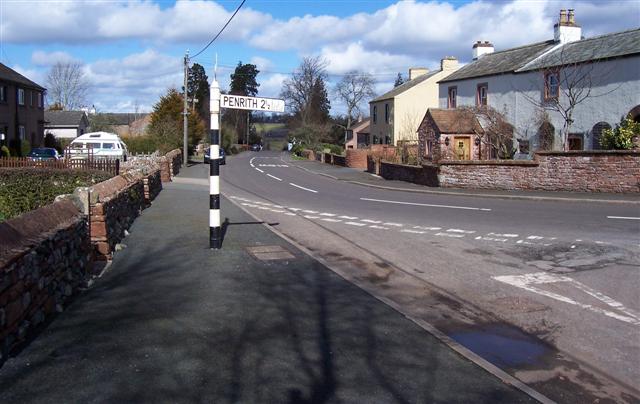
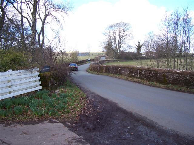
Catterlen is a civil parish located in the county of Cumberland, in the northwest region of England. It is situated about 12 miles northeast of the city of Carlisle and covers an area of approximately 6 square miles. The parish is predominantly rural, with a small population dispersed across a number of hamlets and scattered farmsteads.

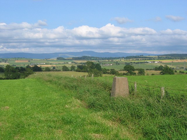
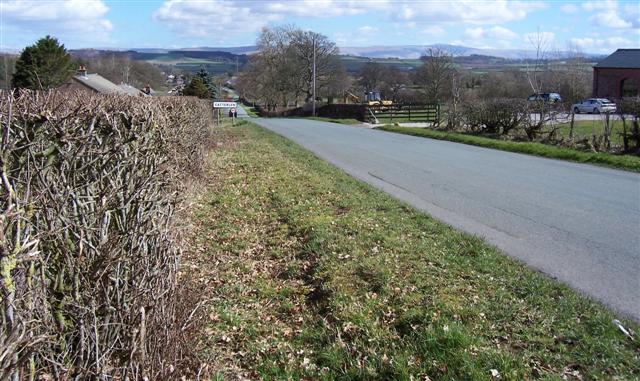
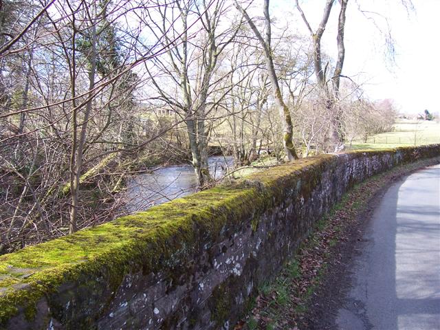
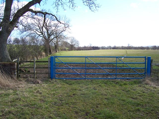
The landscape of Catterlen is characterized by rolling hills and agricultural fields, with the River Petteril running through the western part of the parish. The area is known for its picturesque countryside, offering stunning views of the surrounding countryside and neighboring fells.

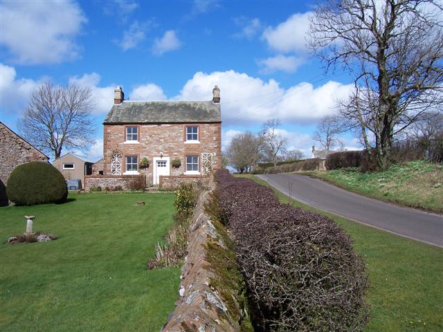
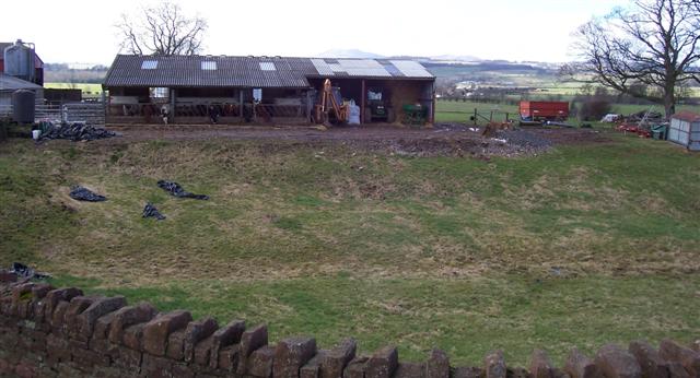
Historically, Catterlen has been primarily an agricultural community, with farming playing a significant role in the local economy. The parish is home to several working farms, which cultivate crops and rear livestock. The traditional rural way of life is still evident in the parish, with many residents involved in farming and related industries.

Catterlen is also known for its scenic walks and outdoor recreational opportunities. The parish is located near the northern edge of the Lake District National Park, providing easy access to the park's renowned hiking trails and natural beauty. The area attracts visitors seeking to explore the countryside, enjoy outdoor pursuits, or simply relax in a tranquil rural setting.

Overall, Catterlen offers a peaceful and picturesque environment, with a strong connection to the land and a close-knit community that values its rural heritage.

If you have any feedback on the listing, please let us know in the comments section below.
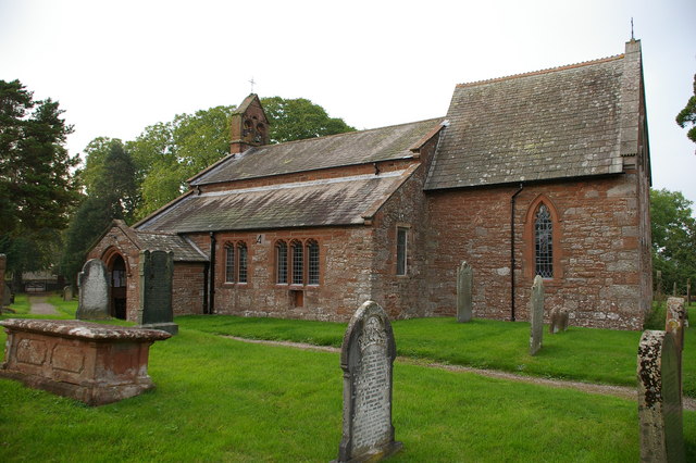
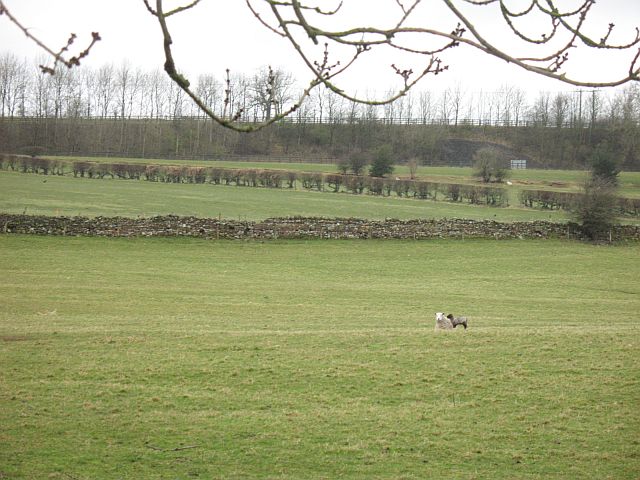
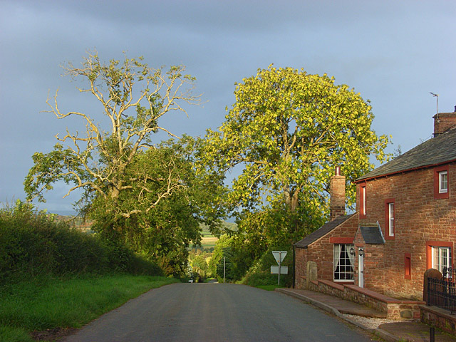
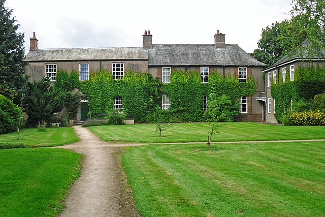
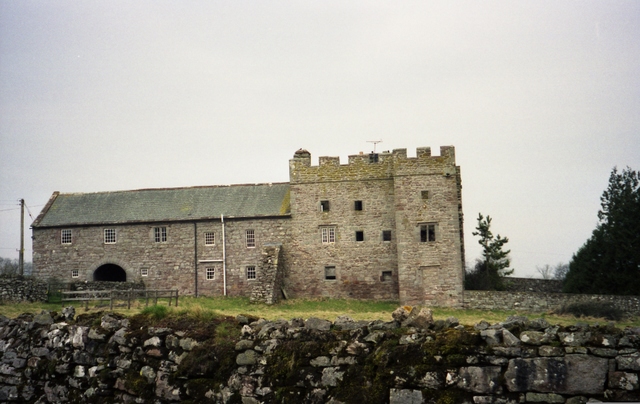
Catterlen Images

Images are sourced within 2km of 54.68694/-2.809003 or Grid Reference NY4732. Thanks to Geograph Open Source API. All images are credited.

High Dykes View eastward across the Vale of Eden to Cross Fell.
High Dykes
View eastward across the Vale of Eden to Cross Fell.
Localised flooding. The water has not put the students off at all. They are walking a dog through the water.
Localised flooding.
The water has not put the students off at all. They are walking a dog through the water.
Newton Reigny.
Newton Reigny.
Honey House.
Honey House.
Footbridge to Penrith from Catterlen. Soggy all around here due to the recent heavy rain.
Footbridge to Penrith from Catterlen.
Soggy all around here due to the recent heavy rain.
Ruin near the river. Possibly an old mill, on the route of the bridleway.
Ruin near the river.
Possibly an old mill, on the route of the bridleway.
River bridge under M6. Coloured water is due to the recent heavy rain.
River bridge under M6.
Coloured water is due to the recent heavy rain.
M6 From junction 41. The trees play an important part in wind management as well as hiding the slip roads and traffic.
M6 From junction 41.
The trees play an important part in wind management as well as hiding the slip roads and traffic.
Catterlen with pennines background.
High Dyke Farm. Saddleback is just visible beyond.
High Dyke Farm.
Saddleback is just visible beyond.
Beck Bridge at Townend. laithes showing in the distance and road junction off to the right just past the cyclist.
Beck Bridge at Townend.
laithes showing in the distance and road junction off to the right just past the cyclist.
Beck and Bridge at Townend. The building you can see through the trees is on the footpath.
Beck and Bridge at Townend.
The building you can see through the trees is on the footpath.
Blue gate and beck. The colour will be significant to the estate denoting all the fields that are theirs and the small beck is on the left with a lot of growth forming a hedge.
Blue gate and beck.
The colour will be significant to the estate denoting all the fields that are theirs and the small beck is on the left with a lot of growth forming a hedge.
Lambs making the most of the sunshine. Note the powerline in the background that is marked on the maps.
Lambs making the most of the sunshine.
Note the powerline in the background that is marked on the maps.
Thornbarrow. Quite a few "Barrows" in this area.
Thornbarrow.
Quite a few "Barrows" in this area.
The Parish Church of St John, Newton Reigny
Ewe and lamb, Kitchen Hill A peaceful pastoral scene, if it were not from the noise of the M6 in the background.
Ewe and lamb, Kitchen Hill
A peaceful pastoral scene, if it were not from the noise of the M6 in the background.
Road and house at Catterlen The road is descending to the main part of the village from High Dyke.
Road and house at Catterlen
The road is descending to the main part of the village from High Dyke.
Show me another place!

Catterlen is located at Grid Ref: NY4732 (Lat: 54.68694, Lng: -2.809003)

Administrative County: Cumbria

District: Eden

Police Authority: Cumbria

What 3 Words

///reply.merge.website. Near Penrith, Cumbria

Related Wikis

Nearby Amenities

Located within 500m of 54.68694,-2.809003
High Dyke (N bound)
Local Ref: AT
Naptan AtcoCode: 090074143880
Naptan Bearing: N
Naptan BusStopType: CUS
Naptan CommonName: High Dyke (N bound)
Naptan Indicator: at
Naptan Landmark: Catterlen Road End
Naptan NaptanCode: cumdagad
Naptan Street: No name
Naptan Verified: no
Source: naptan_import
Lat/Long: 54.689407/-2.8127695
High Dyke (S bound)
Local Ref: AT
Naptan AtcoCode: 090074143881
Naptan Bearing: S
Naptan BusStopType: CUS
Naptan CommonName: High Dyke (S bound)
Naptan Indicator: at
Naptan Landmark: Catterlen Road End
Naptan NaptanCode: cumdagag
Naptan Street: No name
Naptan Verified: no
Source: naptan_import
Lat/Long: 54.6894804/-2.8125538
Post Box
Post Box Mounting: telegraph_pole
Post Box Type: lamp
Ref: CA11 304
Royal Cypher: EIIR
Source: survey
Lat/Long: 54.6906995/-2.8082826
High Dyke
Place: locality
Lat/Long: 54.6899868/-2.814154
High Dykes
Description: OS trig pillar
Ele: 197.8
Man Made: survey_point
Note: Accurate location import for imagery offset calibration. Please do not move.
Ref: S6995
Source: Ordnance Survey (OGL)
Survey Point: pillar
Lat/Long: 54.687638/-2.8086938
Power: pole
Lat/Long: 54.6828116/-2.8096598
Power: pole
Lat/Long: 54.683594/-2.8105454
Power: pole
Lat/Long: 54.6846989/-2.8110708
Power: pole
Lat/Long: 54.6857936/-2.8115636
Power: pole
Lat/Long: 54.6868985/-2.812079
Power: pole
Lat/Long: 54.6900638/-2.8138427
Power: pole
Lat/Long: 54.6894898/-2.8137451
Power: pole
Lat/Long: 54.6903313/-2.8123642
Power: pole
Lat/Long: 54.6906422/-2.810673
Power: pole
Lat/Long: 54.690901/-2.8093947
Power: pole
Lat/Long: 54.6911064/-2.8083439
The data included in this document is from www.openstreetmap.org. The data is made available under ODbL.

Have you been to Catterlen?

Leave your review of Catterlen below (or comments, questions and feedback).