Lankham Bottom

Valley in Dorset

England

Lankham Bottom

Chalmington Manor Early 19th century Tudor style manor house, with a possible late C16 core. Grade II listed.
Chalmington Manor Credit: Mike Searle

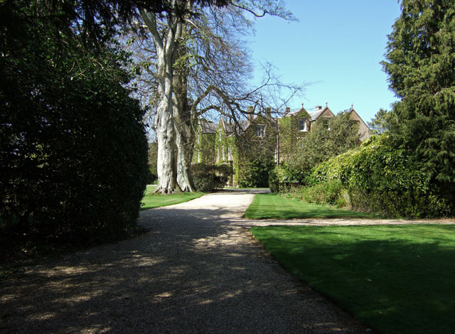
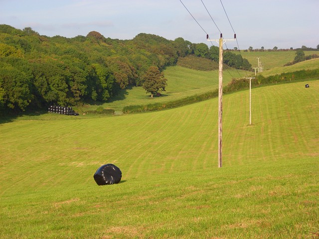
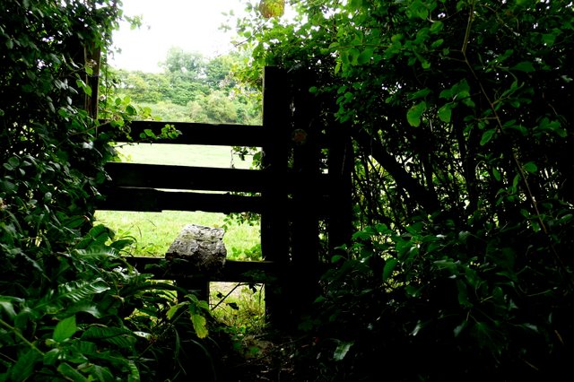
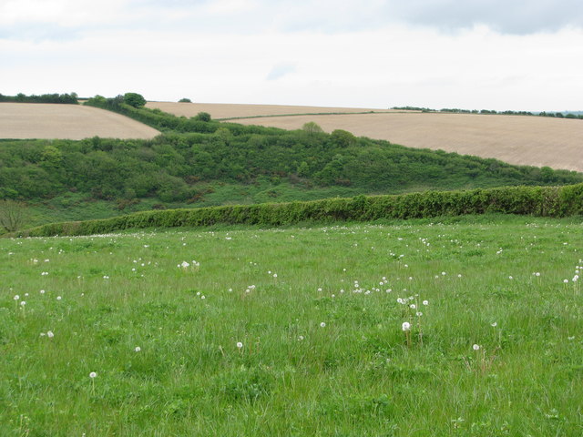
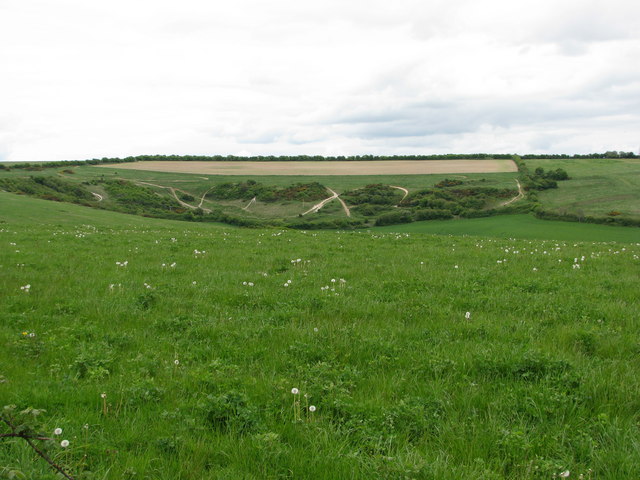
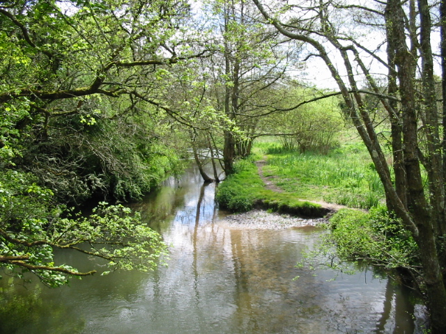
Lankham Bottom is a picturesque valley located in the county of Dorset, England. Nestled within the rolling hills of the Dorset Area of Outstanding Natural Beauty, this serene and idyllic valley offers visitors a glimpse into the stunning rural landscape of the region.

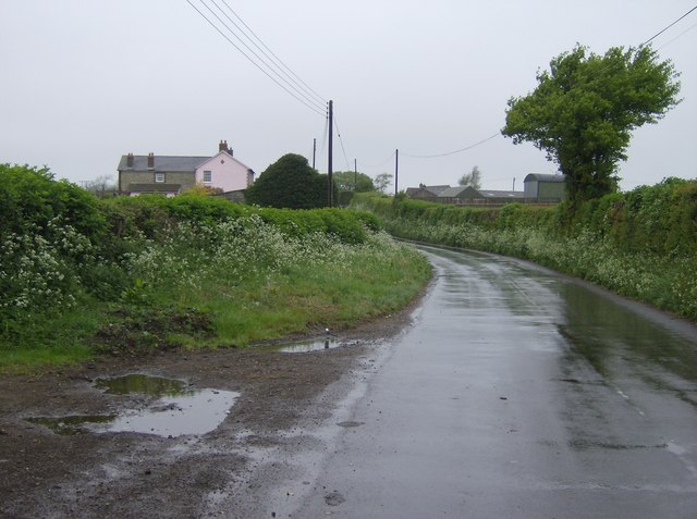
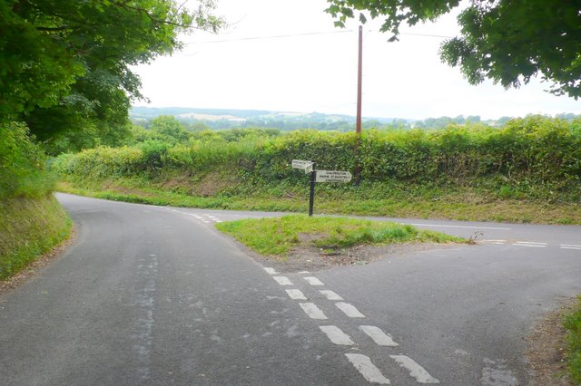
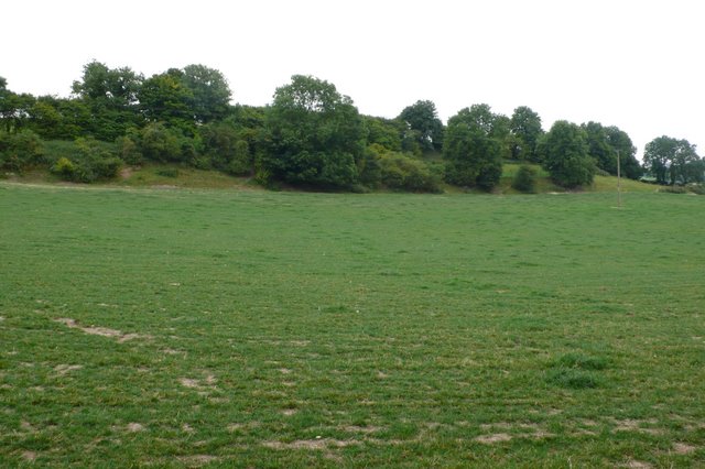
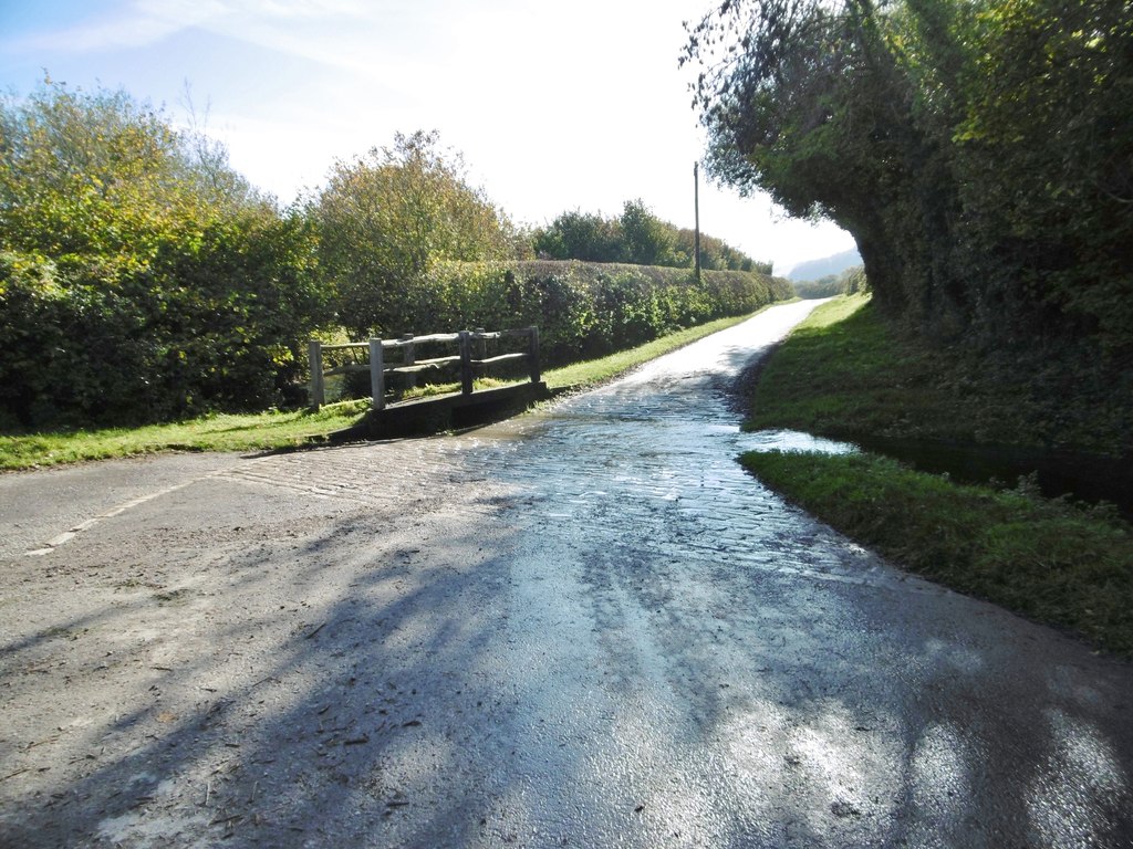
Surrounded by lush green meadows, woodlands, and meandering streams, Lankham Bottom exudes a sense of tranquility and natural beauty. The valley is characterized by its gentle slopes and meandering footpaths, making it a popular destination for hikers and nature enthusiasts. The rich biodiversity of the area attracts birdwatchers and wildlife photographers, with a variety of species that call the valley home.

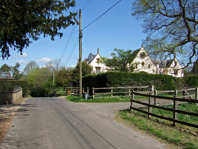
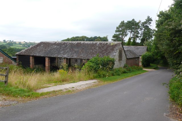
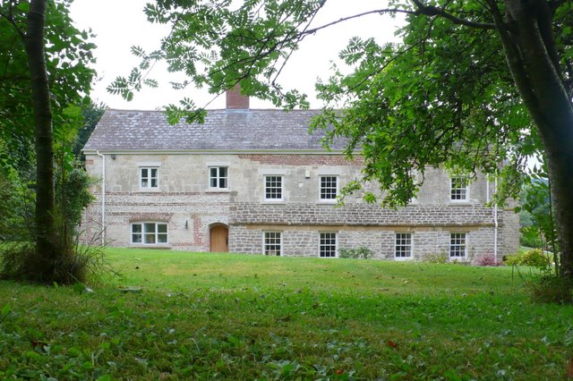
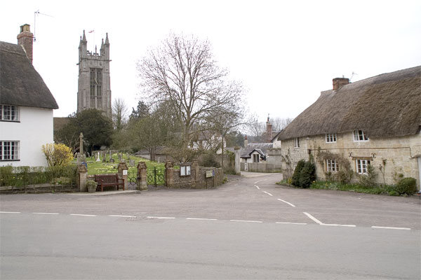
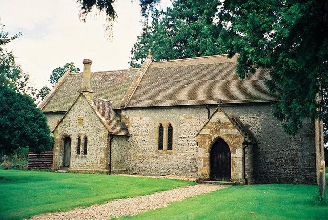
At the heart of Lankham Bottom lies the charming village of Lankham, which consists of a small cluster of traditional thatched cottages and a quaint village church. The village exudes a sense of timeless charm and is surrounded by meadows and farmland, adding to its rural appeal.

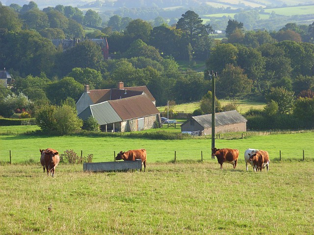
The valley is also known for its agricultural heritage, with many farms dotting the landscape. The fertile soils and favorable climate make it an ideal location for farming, particularly sheep and dairy farming. Visitors can often see sheep grazing in the fields, adding to the picturesque scenery.

Overall, Lankham Bottom offers a peaceful retreat from the hustle and bustle of modern life, allowing visitors to immerse themselves in the beauty of the Dorset countryside. Whether it's taking a leisurely stroll along the footpaths, exploring the village, or simply enjoying the breathtaking views, Lankham Bottom is a place that captivates the hearts of all who visit.

If you have any feedback on the listing, please let us know in the comments section below.

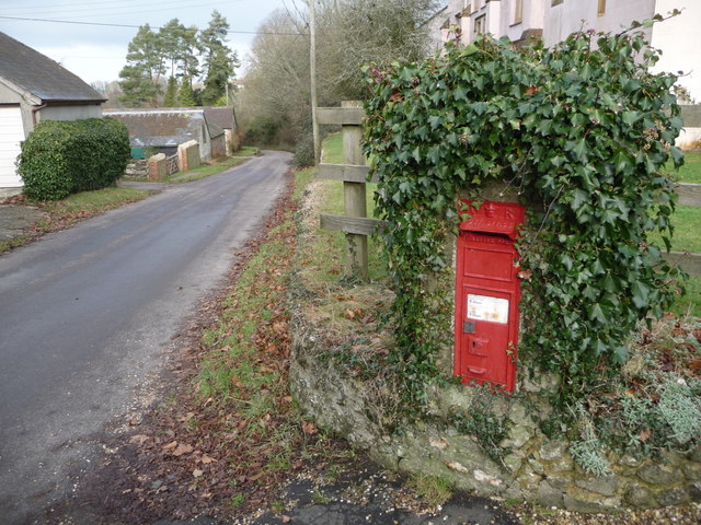
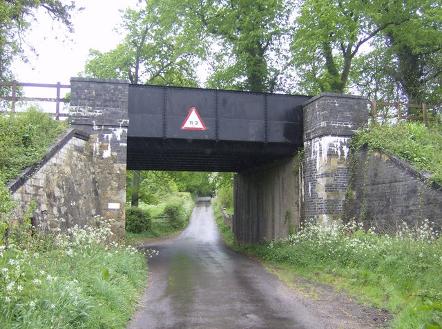
Lankham Bottom Images

Images are sourced within 2km of 50.798589/-2.5589708 or Grid Reference ST6000. Thanks to Geograph Open Source API. All images are credited.

Chalmington Manor Early 19th century Tudor style manor house, with a possible late C16 core. Grade II listed.
Chalmington Manor
Early 19th century Tudor style manor house, with a possible late C16 core. Grade II listed.
Chalmington The former manor house stable block across the road from the manor, has since been converted into a substantial residence called "Woodlands".
Chalmington
The former manor house stable block across the road from the manor, has since been converted into a substantial residence called "Woodlands".
Lane north of Cattistock On my way in to Cattistock the previous evening, I forgot to get a picture of this square as we passed through.  Too keen to get to my bed and breakfast.  So I had to nip back the following morning.  It was a Bank Holiday so it was raining, after weeks of fine weather.
Lane north of Cattistock
On my way in to Cattistock the previous evening, I forgot to get a picture of this square as we passed through. Too keen to get to my bed and breakfast. So I had to nip back the following morning. It was a Bank Holiday so it was raining, after weeks of fine weather.
Higher Chalmington Looking down to Higher Chalmington Farm from the public bridleway on the hillside above.
Higher Chalmington
Looking down to Higher Chalmington Farm from the public bridleway on the hillside above.
Silage bales, Chalmington Looking into the dry valley of Charity Bottom flanked by Norton Plantation.
Silage bales, Chalmington
Looking into the dry valley of Charity Bottom flanked by Norton Plantation.
Chalmington , Dorset Old barns on the west side of the road running through this hamlet
Chalmington , Dorset
Old barns on the west side of the road running through this hamlet
Chalmington Dorset This splendid old Dorset farmhouse has recently been renovated to a very high standard.
Chalmington Dorset
This splendid old Dorset farmhouse has recently been renovated to a very high standard.
Road junction near Cattistock This is the junction where the road to Chalmington leaves the Cattistock to Sydling road just north of Castle Hill
Road junction near Cattistock
This is the junction where the road to Chalmington leaves the Cattistock to Sydling road just north of Castle Hill
Stile on Castle Hill This stile takes the footpath from the Chalmington road into the field on the north side of Castle Hill where it runs south across the slopes to Cattistock
Stile on Castle Hill
This stile takes the footpath from the Chalmington road into the field on the north side of Castle Hill where it runs south across the slopes to Cattistock
Castle Hill Cattistock View of the castle mound which is probably an iron age fort, from the footpath from Chalmington road to Cattistock
Castle Hill Cattistock
View of the castle mound which is probably an iron age fort, from the footpath from Chalmington road to Cattistock
Sandhills: signpost at the Chalmington turn An old Dorset signpost on the triangular middle of this junction. It retains the distinctive original finial giving location and grid reference details.
Sandhills: signpost at the Chalmington turn
An old Dorset signpost on the triangular middle of this junction. It retains the distinctive original finial giving location and grid reference details.
Sandhills: postbox № DT2 108 The postbox serving the hamlet of Sandhills stands by a flowerbed of the easternmost house on the north side of the lane; it's emptied at 9am daily except Sunday.
Sandhills: postbox № DT2 108
The postbox serving the hamlet of Sandhills stands by a flowerbed of the easternmost house on the north side of the lane; it's emptied at 9am daily except Sunday.
Fields near Cattistock
Fields by Castle Hill, Cattistock
Sandhills: detail of more easterly finger-post A close-up of the finial of the <a href="https://www.geograph.org.uk/photo/1382486">ST5800 : Sandhills: signpost at the Chalmington turn</a>, giving location and six-figure grid reference. There is another similar one at the western end of the village.
Sandhills: detail of more easterly finger-post
A close-up of the finial of the ST5800 : Sandhills: signpost at the Chalmington turn, giving location and six-figure grid reference. There is another similar one at the western end of the village.
Chalmington: postbox № DT2 75 This Victorian postbox is set into a brick pillar which is sporting a wild haircut of ivy, by the driveway to the manor house. The box is emptied at 9am each morning except Sunday.
Chalmington: postbox № DT2 75
This Victorian postbox is set into a brick pillar which is sporting a wild haircut of ivy, by the driveway to the manor house. The box is emptied at 9am each morning except Sunday.
Chalmington: passing the postbox Looking along the lane through this small hamlet, past the Victorian <a href="https://www.geograph.org.uk/photo/2244456">ST5900 : Chalmington: postbox № DT2 75</a>.
Chalmington: passing the postbox
Looking along the lane through this small hamlet, past the Victorian ST5900 : Chalmington: postbox № DT2 75.
River Frome near Maiden Newton
Show me another place!

Lankham Bottom is located at Grid Ref: ST6000 (Lat: 50.798589, Lng: -2.5589708)

Unitary Authority: Dorset

Police Authority: Dorset

What 3 Words

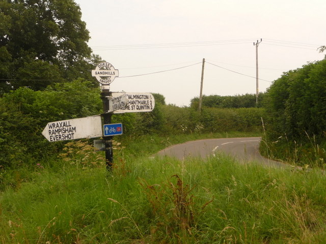
///wing.letters.snooping. Near Maiden Newton, Dorset

Related Wikis

Chalmington

Chalmington is a small hamlet close to the village of Cattistock, in west Dorset, England. == References == == External links == Media related to Chalmington...

Cattistock

Cattistock is a village and civil parish in west Dorset, England, sited in the upper reaches of the Frome Valley, 8 miles (13 km) northwest of the county...

Cattistock railway station

Cattistock Halt railway station was a railway station in the county of Dorset in England. It was served by trains on what is now known as the Heart of...

Maiden Newton railway station

Maiden Newton railway station is a railway station serving the village of Maiden Newton in Dorset, England. The station is located on the Heart of Wessex...

Chilfrome

Chilfrome () is a small village and civil parish in the county of Dorset in southwest England. It lies in the Dorset unitary authority administrative area...

Up Sydling

Up Sydling is a hamlet in west Dorset, England. It is situated at the head of Sydling Water, a tributary of the River Frome, ten miles north of Dorchester...

Maiden Newton

Maiden Newton is a village and civil parish in the county of Dorset in south-west England. It lies within the Dorset Council administrative area, about...

Sydling St Nicholas

Sydling St Nicholas is a village and civil parish in Dorset within southwest England. The parish is 5 to 9 miles (8.0 to 14.5 km) northwest of the county...

Nearby Amenities

Located within 500m of 50.798589,-2.5589708
Material: wood
Power: pole
Source: bing
Lat/Long: 50.7947061/-2.5571888
Material: wood
Power: pole
Source: bing
Lat/Long: 50.7958275/-2.5641426
Material: wood
Power: pole
Source: bing
Lat/Long: 50.7961087/-2.5631503
Material: wood
Power: pole
Source: bing
Lat/Long: 50.7962498/-2.5576854
Material: wood
Power: pole
Source: bing
Lat/Long: 50.7963929/-2.5621712
Material: wood
Power: pole
Source: bing
Lat/Long: 50.796681/-2.5611889
Material: wood
Power: pole
Source: bing
Lat/Long: 50.7969781/-2.5602055
Material: wood
Power: pole
Source: bing
Lat/Long: 50.7970981/-2.5579477
Material: wood
Power: pole
Source: bing
Lat/Long: 50.7972802/-2.5592158
Material: wood
Power: pole
Source: bing
Lat/Long: 50.7976936/-2.5584636
Material: wood
Power: pole
Source: bing
Lat/Long: 50.7980864/-2.5577276
Material: wood
Power: pole
Source: bing
Lat/Long: 50.7985258/-2.556984
Material: wood
Power: pole
Source: bing
Lat/Long: 50.7987141/-2.5584814
Material: wood
Power: pole
Source: bing
Lat/Long: 50.7989654/-2.5562511
Material: wood
Power: pole
Source: bing
Lat/Long: 50.7993969/-2.5555333
Material: wood
Power: pole
Source: bing
Lat/Long: 50.7994921/-2.5587373
Material: wood
Power: pole
Source: bing
Transformer: distribution
Lat/Long: 50.7998455/-2.5547644
Material: wood
Power: pole
Source: bing
Lat/Long: 50.8002785/-2.5589974
Material: wood
Power: pole
Source: bing
Lat/Long: 50.8011093/-2.5592645
Material: wood
Power: pole
Source: bing
Lat/Long: 50.8019521/-2.5595044
Material: wood
Power: pole
Source: bing
Lat/Long: 50.8025217/-2.5622238
Material: wood
Power: pole
Source: bing
Lat/Long: 50.8026875/-2.5605863
Material: wood
Power: pole
Source: bing
Lat/Long: 50.8027841/-2.5597689
Material: wood
Power: pole
Source: bing
Lat/Long: 50.8001283/-2.5542718
Material: wood
Power: pole
Source: bing
Lat/Long: 50.8010804/-2.5539221
Middle Hill
Place: locality
Source: OS_OpenData_StreetView
Lat/Long: 50.8005036/-2.5651682
Lankham Bottom
Place: locality
Source: OS_OpenData_StreetView
Lat/Long: 50.7967536/-2.5653291
The data included in this document is from www.openstreetmap.org. The data is made available under ODbL.

Have you been to Lankham Bottom?

Leave your review of Lankham Bottom below (or comments, questions and feedback).