Cannop Bottom
Valley in Gloucestershire Forest of Dean
England
Cannop Bottom
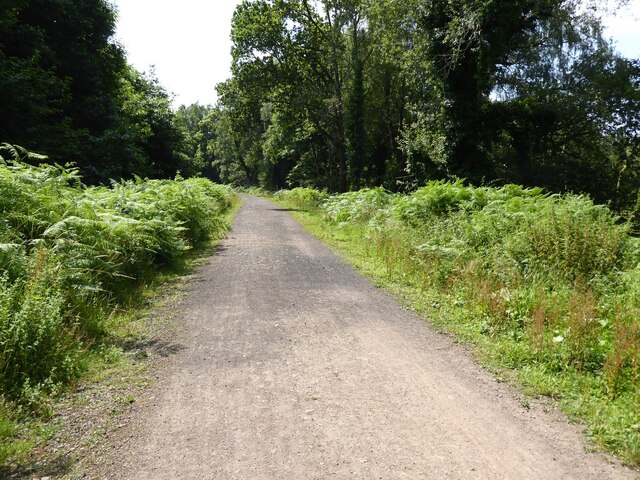
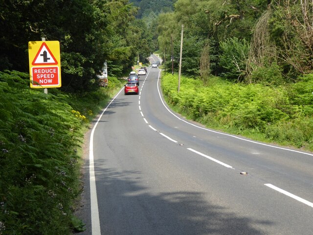
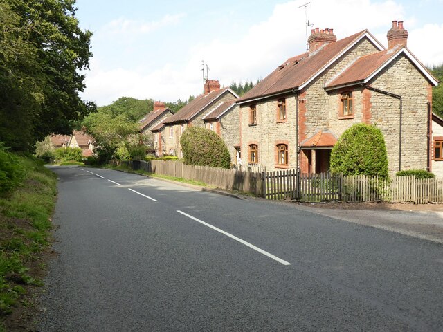
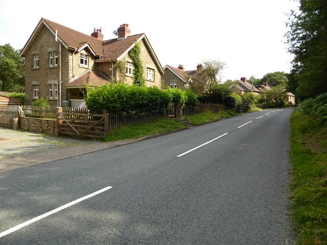
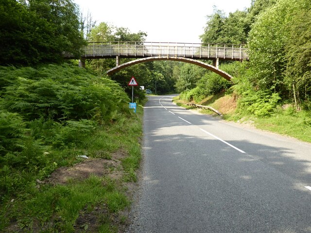
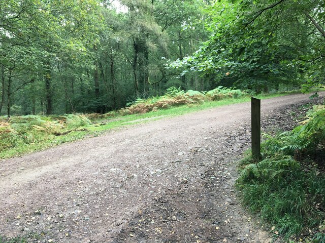
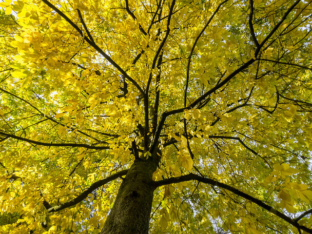
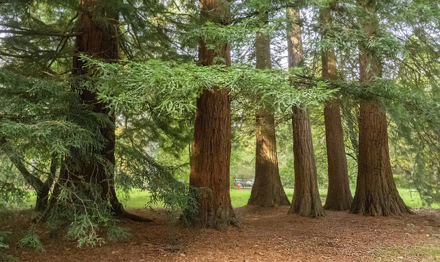
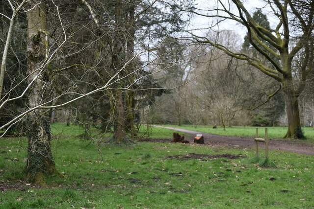
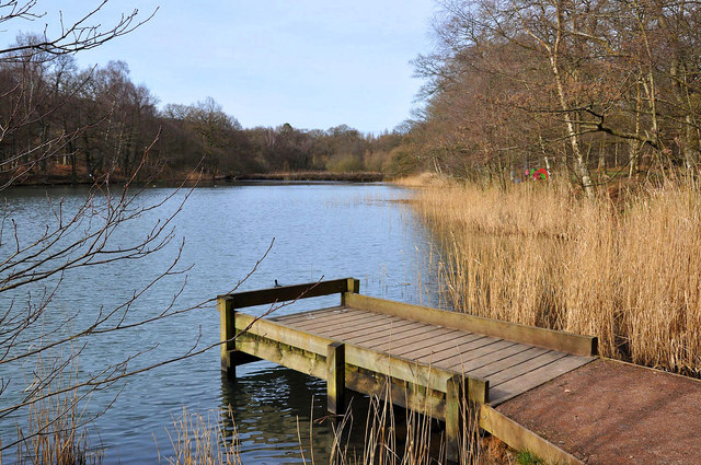
Cannop Bottom is a picturesque valley located in Gloucestershire, England. Situated within the enchanting Forest of Dean, it is a popular destination for nature enthusiasts and visitors seeking tranquility amidst stunning natural surroundings. The valley is nestled between steep slopes covered in lush greenery, providing a serene and secluded atmosphere.
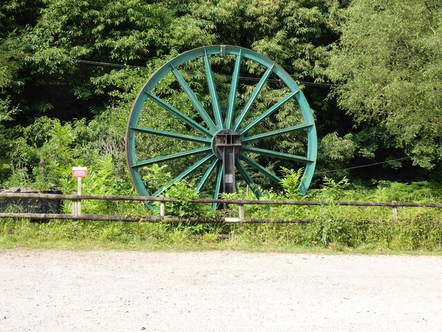
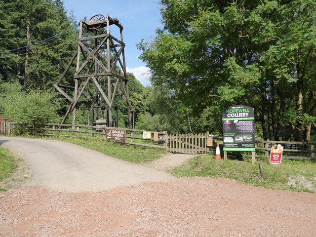
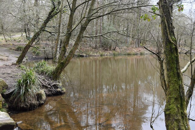
The main attraction of Cannop Bottom is the enchanting Cannop Ponds, a series of three interconnected lakes that were once used for mining purposes but have now become a haven for wildlife. The ponds are home to a variety of bird species, including swans, herons, and ducks, making it a paradise for birdwatchers. Surrounding the ponds, there are numerous walking trails and picnic spots, allowing visitors to immerse themselves in the beauty of the area.
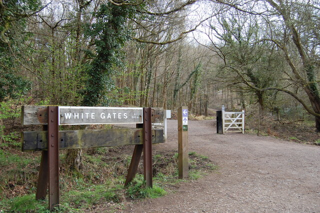
The valley is also a hub for outdoor activities, such as cycling and mountain biking. The Cannop Cycle Centre offers a range of trails suitable for all levels of experience. From gentle family-friendly routes to challenging terrains, there is something for everyone. Additionally, the center provides bike rental facilities and professional guidance, ensuring a safe and enjoyable experience for all.
The tranquil beauty of Cannop Bottom has captivated artists and photographers alike, who often visit to capture its breathtaking scenery. With its serene lakes, abundant wildlife, and stunning landscapes, Cannop Bottom is a hidden gem in Gloucestershire that promises an unforgettable experience for nature lovers and adventurers alike.
If you have any feedback on the listing, please let us know in the comments section below.
Cannop Bottom Images
Images are sourced within 2km of 51.801489/-2.571727 or Grid Reference SO6011. Thanks to Geograph Open Source API. All images are credited.


Cannop Bottom is located at Grid Ref: SO6011 (Lat: 51.801489, Lng: -2.571727)
Administrative County: Gloucestershire
District: Forest of Dean
Police Authority: Gloucestershire
What 3 Words
///provoking.wishing.squish. Near Coleford, Gloucestershire
Nearby Locations
Related Wikis

Speech House Road railway station
Speech House Road railway station is a disused railway station opened by the former Severn and Wye Railway in 1875, it remained open for 88 years until...
Cannop Ponds
Cannop Ponds (grid reference SO608106) are two large ponds, just north of Parkend in the Forest of Dean, Gloucestershire, England. The ponds, and surrounding...
Wimberry Quarries
Wimberry Quarries (grid reference SO594121) is a 2-hectare (4.9-acre) nature reserve in Gloucestershire in the Forest of Dean.The site is held under agreement...

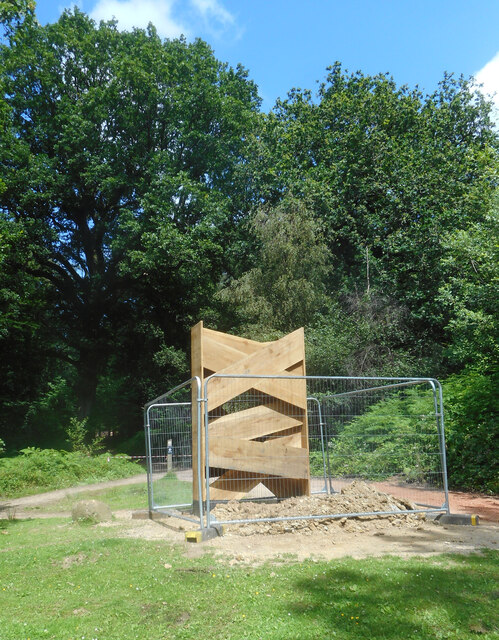
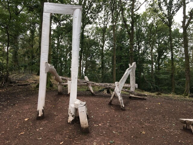
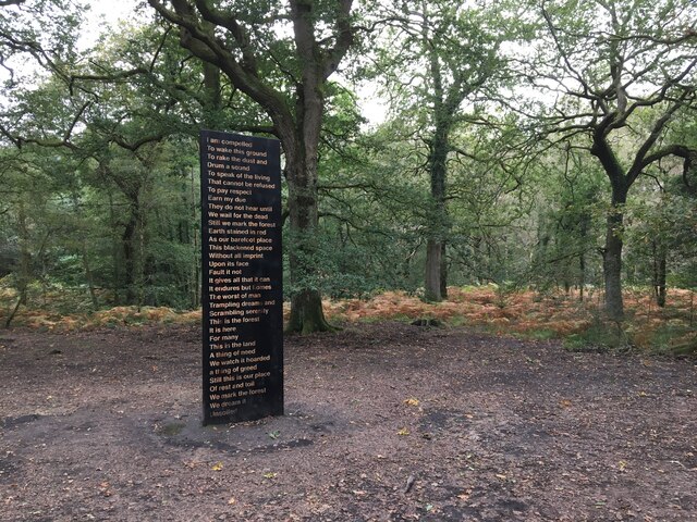
Forest of Dean Sculpture Trail
The Forest of Dean Sculpture Trail is a point of interest in the Forest of Dean in the county of Gloucestershire, England. The Sculpture Trail links several...
Speech House
The Speech House was the administrative building of the Forest of Dean in Gloucestershire, England, lying at the centre of the forest on the road from...
Spion Kop Quarry
Spion Kop Quarry (grid reference SO598103) is a 0.7-hectare (1.7-acre) nature reserve in Gloucestershire in the Forest of Dean.The site is managed by the...

Speech House Oaks
Speech House Oaks (grid reference SO622123) is a 16.26-hectare (40.2-acre) biological Site of Special Scientific Interest in Gloucestershire, notified...
Broadwell, Forest of Dean
Broadwell is a village about 1 mile (1.6 km) east of Coleford, Gloucestershire, England. It is at the western edge of the Forest of Dean, in the civil...
Nearby Amenities
Located within 500m of 51.801489,-2.571727Have you been to Cannop Bottom?
Leave your review of Cannop Bottom below (or comments, questions and feedback).