Cannop

Settlement in Gloucestershire Forest of Dean

England

Cannop

Cycleway and former railway The trackbed of the former Severn and Wye Valley near Serridge Inclosure.
Cycleway and former railway Credit: Philip Halling

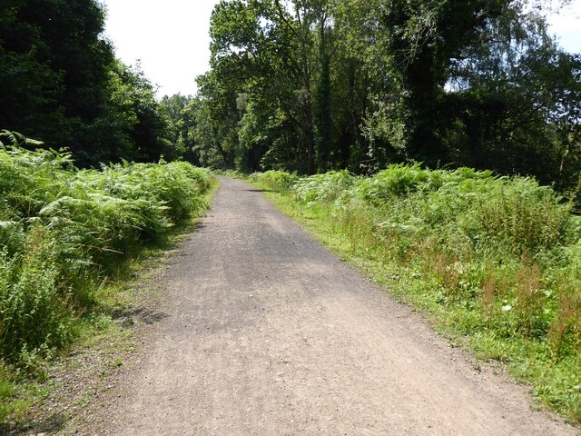
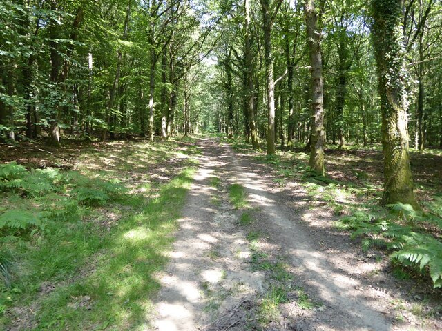
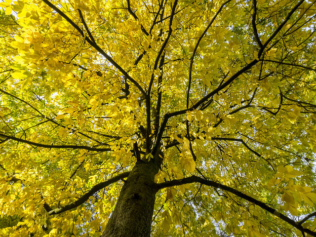
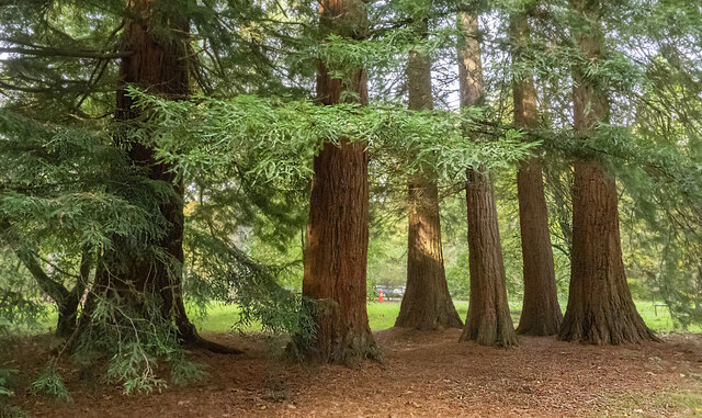
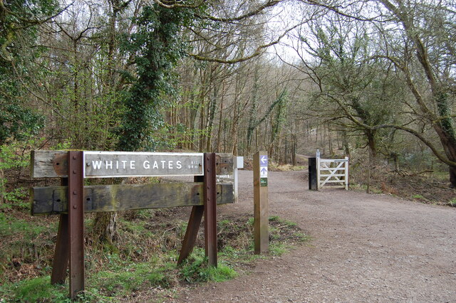
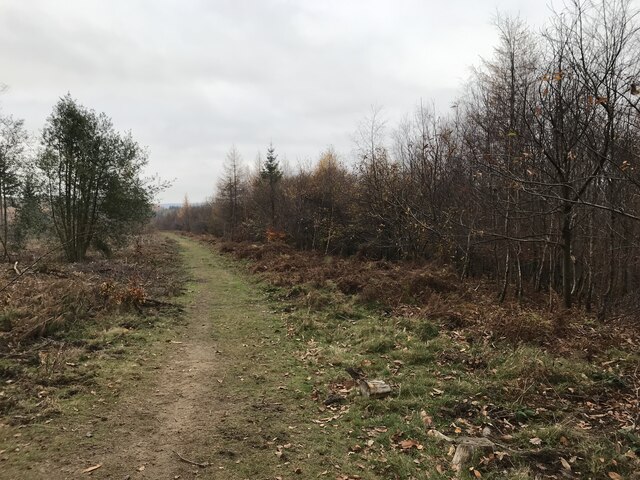
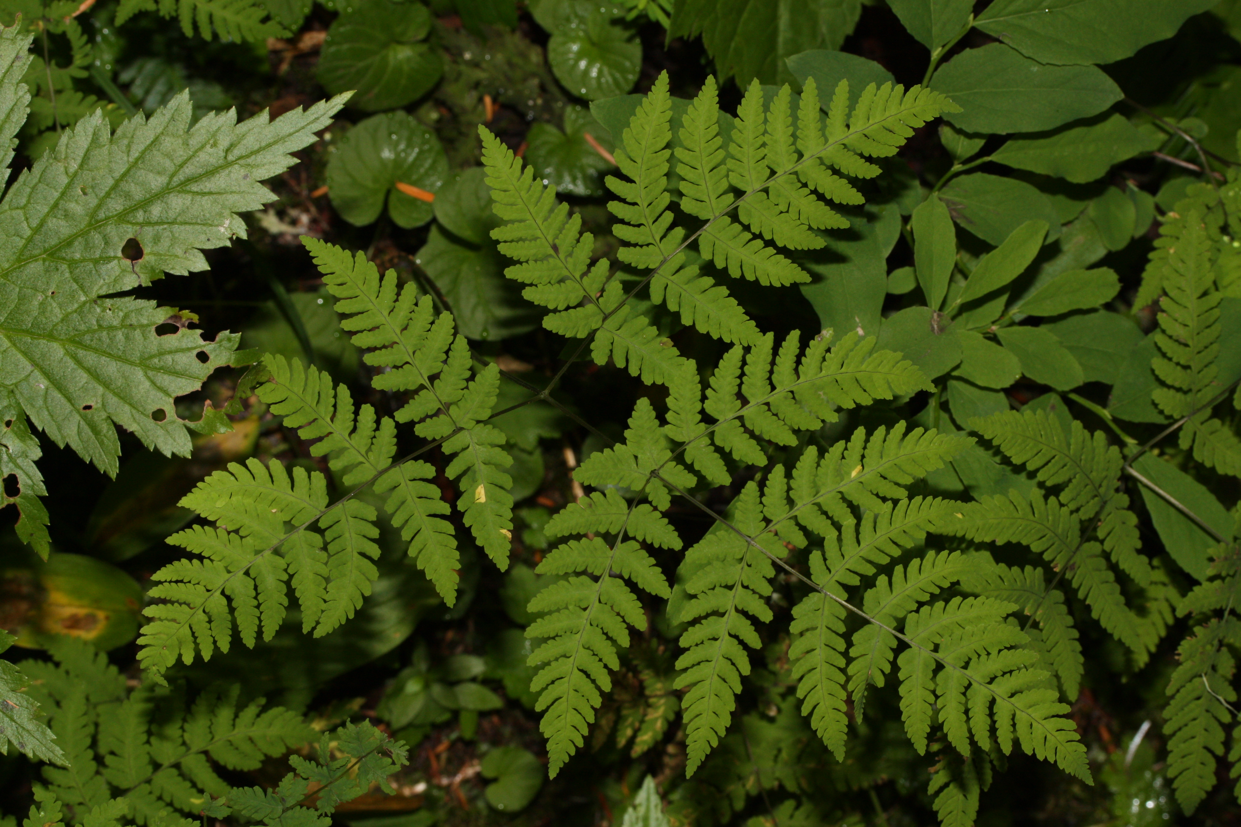
Cannop is a small village located in the Forest of Dean district of Gloucestershire, England. Situated in the southwestern part of the county, it is surrounded by picturesque woodlands and is part of the larger Cannop Valley Nature Reserve. The village is nestled in the heart of the Forest of Dean, which is known for its rich history, stunning landscapes, and diverse wildlife.

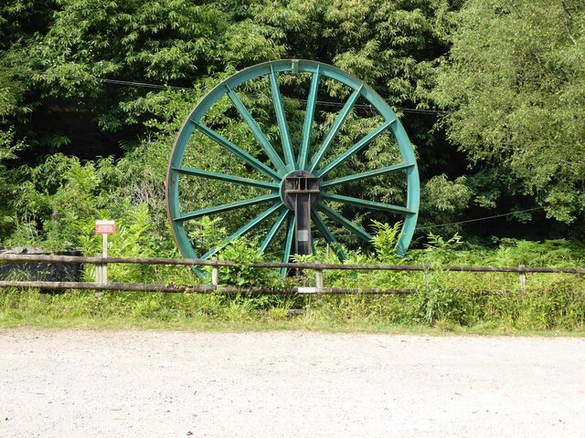
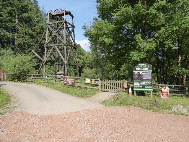
Cannop is famous for its former coal mining industry, which played a significant role in shaping the village's development. The area was once bustling with activity as numerous collieries operated here, providing employment to the local population. Today, remnants of the mining past can still be seen in the form of old mine shafts and industrial structures.

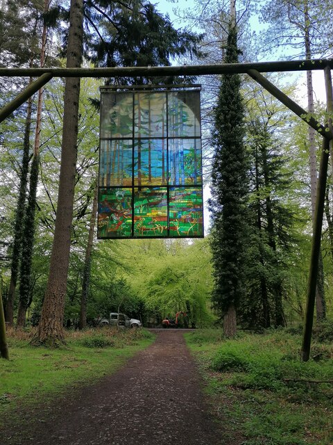
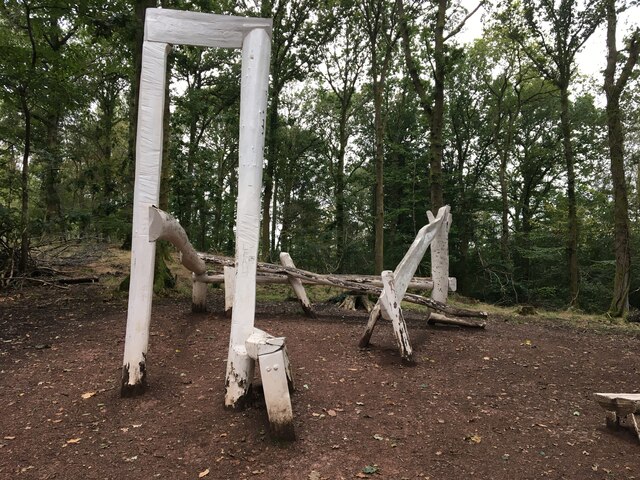
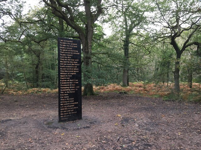
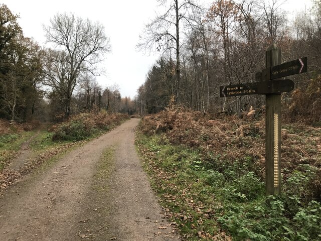
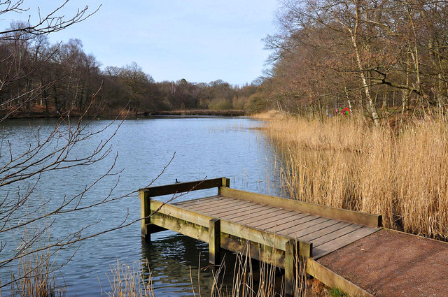
The village is a popular destination for outdoor enthusiasts, offering an array of recreational activities. Cannop Ponds, located nearby, is a tranquil spot for fishing, picnicking, and birdwatching. The area is also a hub for mountain biking, with numerous trails crisscrossing the forest, including the famous Verderers' Trail.

Cannop is home to a small community, with a handful of residential properties and some local amenities. While it lacks major facilities, the village benefits from its proximity to nearby towns such as Coleford and Lydney, where residents can access a wider range of services.

Overall, Cannop is a charming village that offers a perfect blend of natural beauty, historical significance, and outdoor recreation, making it an attractive destination for both locals and visitors alike.

If you have any feedback on the listing, please let us know in the comments section below.
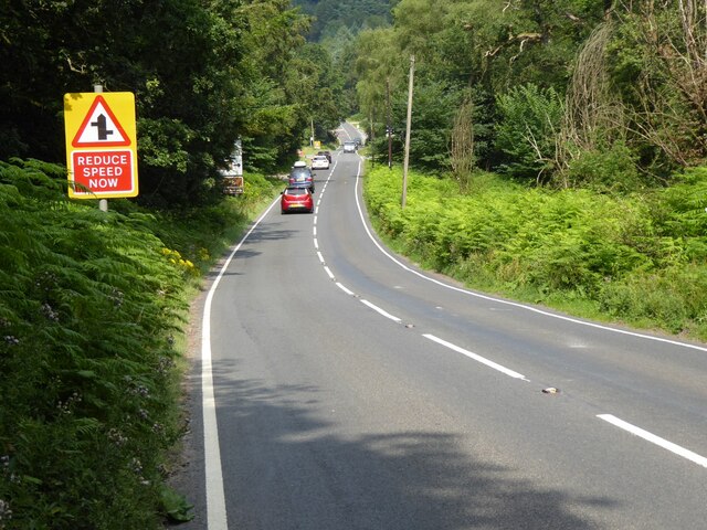
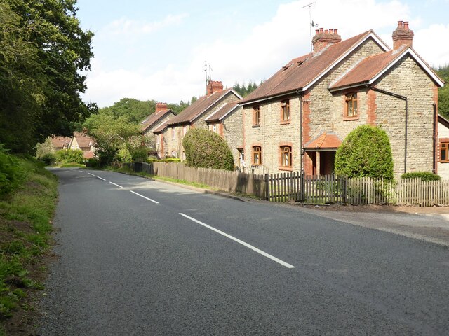
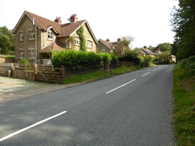
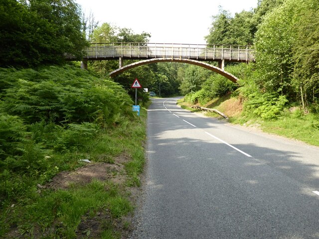
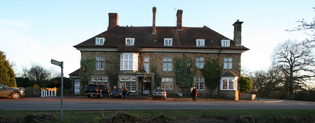
Cannop Images

Images are sourced within 2km of 51.804502/-2.5685 or Grid Reference SO6011. Thanks to Geograph Open Source API. All images are credited.

Cycleway and former railway The trackbed of the former Severn and Wye Valley near Serridge Inclosure.
Cycleway and former railway
The trackbed of the former Severn and Wye Valley near Serridge Inclosure.
Forest track Forest track in Serridge Inclosure in the Forest of Dean.
Forest track
Forest track in Serridge Inclosure in the Forest of Dean.
A pithead mine wheel A pithead mine wheel at Hopewell Colliery Museum.
A pithead mine wheel
A pithead mine wheel at Hopewell Colliery Museum.
Hopewell Colliery Museum In the winter Hopewell Colliery is a working mine, in the summer it is a tourist attraction offering underground tours of the mine.
Hopewell Colliery Museum
In the winter Hopewell Colliery is a working mine, in the summer it is a tourist attraction offering underground tours of the mine.
Speech House Road The A4136, Speech House Road approaching the staggered crossroad at its junction with the B4234.
Speech House Road
The A4136, Speech House Road approaching the staggered crossroad at its junction with the B4234.
Cannop Villas Cannop Villas were built in the years just before the outbreak of World War I.
Cannop Villas
Cannop Villas were built in the years just before the outbreak of World War I.
Cannop Villas Cannop Villas were built in the years just before the outbreak of World War I.
Cannop Villas
Cannop Villas were built in the years just before the outbreak of World War I.
Cycle bridge Cycle bridge crossing New Road, the B4234.
Cycle bridge
Cycle bridge crossing New Road, the B4234.
Forest of Dean Sculpture Trail Stained glass window at Forest of Dean Sculpture Trail
Forest of Dean Sculpture Trail
Stained glass window at Forest of Dean Sculpture Trail
Speech House Hotel Car Park, Forest of Dean
Yasasin, Forest of Dean Sculpture Trail
Soil Unsoiled, Forest of Dean Sculpture Trail
Forest of Dean Sculpture Trail
Lime tree, Forest of Dean One of the many specimen trees in the Cyril Hart Arboretum.
Lime tree, Forest of Dean
One of the many specimen trees in the Cyril Hart Arboretum.
A stand of Redwood trees, Forest of Dean A group of trees in the Cyril Hart Arboretum.
A stand of Redwood trees, Forest of Dean
A group of trees in the Cyril Hart Arboretum.
White Gates Paths and tracks in all directions
White Gates
Paths and tracks in all directions
Forest ride
Forest ride
Old railway junction
Show me another place!

Cannop is located at Grid Ref: SO6011 (Lat: 51.804502, Lng: -2.5685)

Administrative County: Gloucestershire

District: Forest of Dean

Police Authority: Gloucestershire

What 3 Words

///vegans.playfully.wires. Near Coleford, Gloucestershire

Related Wikis

Nearby Amenities

Located within 500m of 51.804502,-2.5685
Bus Stop
Cannop Crossroads
Naptan AtcoCode: 1600GL9049
Naptan Bearing: E
Naptan CommonName: Cannop Crossroads
Naptan NaptanCode: gloagmga
Naptan Street: Speech House Rd
Naptan Verified: no
Source: naptan_import
Lat/Long: 51.8014244/-2.5687874
Bus Stop
Cannop Crossroads
Naptan AtcoCode: 1600GL9050
Naptan Bearing: W
Naptan CommonName: Cannop Crossroads
Naptan NaptanCode: gloagmdw
Naptan Street: Speech House Rd
Naptan Verified: no
Source: naptan_import
Lat/Long: 51.8012436/-2.5689881
Bus Stop
Beechenhurst Lodge Gate
Naptan AtcoCode: 1600GLA36575
Naptan Bearing: E
Naptan CommonName: Beechenhurst Lodge Gate
Naptan NaptanCode: glogjptj
Naptan Street: Speech House Rd
Naptan Verified: no
Source: naptan_import
Lat/Long: 51.8034042/-2.562837
Bus Stop
Beechenhurst Lodge Gate
Naptan AtcoCode: 1600GLA36576
Naptan Bearing: W
Naptan CommonName: Beechenhurst Lodge Gate
Naptan Indicator: Opp
Naptan NaptanCode: glogjptm
Naptan Street: Speech House Rd
Naptan Verified: no
Source: naptan_import
Lat/Long: 51.8033414/-2.5628072
Crossing
Crossing: unmarked
Lat/Long: 51.8020865/-2.5665166
Pygmy Pinetum
Shop: garden_centre
Lat/Long: 51.8015258/-2.5696778
Give Way
Direction: backward
Lat/Long: 51.8012863/-2.5691642
Give Way
Direction: backward
Lat/Long: 51.8011875/-2.5692527
Leisure: picnic_table
Lat/Long: 51.8055105/-2.5615535
Leisure: picnic_table
Lat/Long: 51.8055216/-2.5614898
Leisure: picnic_table
Lat/Long: 51.8055378/-2.5616515
Leisure: picnic_table
Lat/Long: 51.8055429/-2.5615911
Cannop Bottom
Place: locality
Lat/Long: 51.8012345/-2.5727178
Cannop
Place: hamlet
Lat/Long: 51.8012645/-2.5692318
Post Box
Operator: Royal Mail
Post Box Type: lamp
Ref: GL16 51D
Royal Cypher: EIIR
Royal Cypher Wikidata: Q33102113
Lat/Long: 51.8020844/-2.5691807
Wimberry Branch Junction
Historic Railway: junction
Railway: site
Lat/Long: 51.8061617/-2.5660226
Speech House Road
Historic Railway: station
Railway: site
Wikidata: Q7575372
Wikipedia: en:Speech House Road railway station
Lat/Long: 51.8018958/-2.5664074
Howlerslade Junction
Historic Railway: junction
Railway: site
Lat/Long: 51.8009091/-2.5656759
The data included in this document is from www.openstreetmap.org. The data is made available under ODbL.

Have you been to Cannop?

Leave your review of Cannop below (or comments, questions and feedback).