Aldershawe

Settlement in Staffordshire Lichfield

England

Aldershawe

The Trooper pub at Wall
The Trooper pub at Wall Credit: Roy Hughes

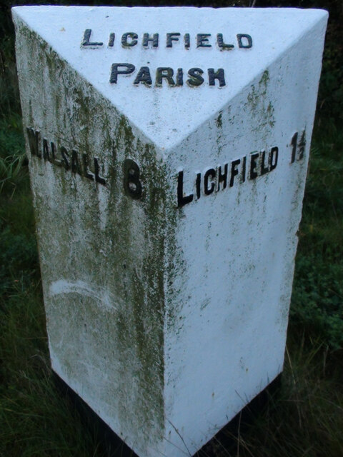
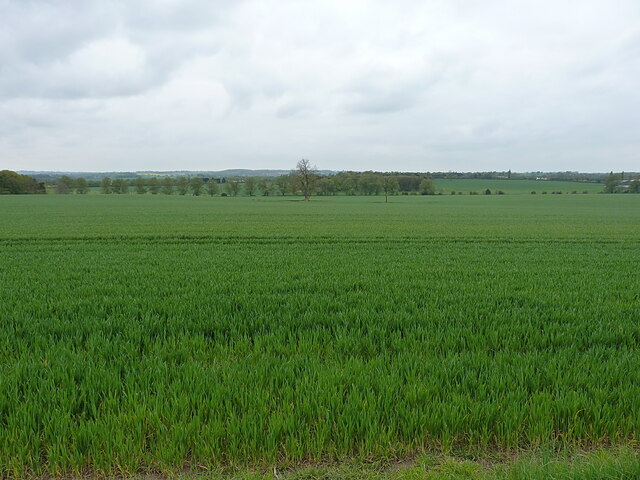
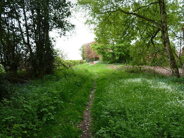
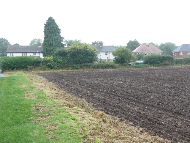
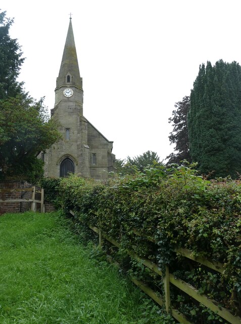
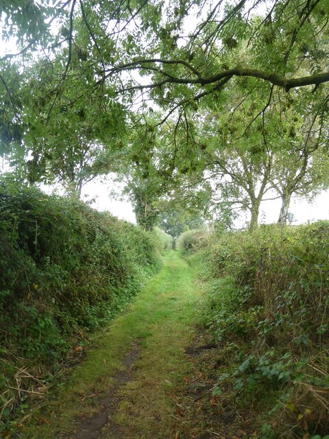
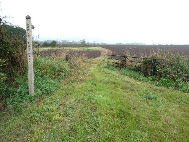
Aldershawe is a small village located in the county of Staffordshire, England. Situated approximately 4 miles south of the city of Lichfield, it falls within the jurisdiction of Lichfield District Council. The village is surrounded by picturesque countryside and is known for its idyllic rural setting.

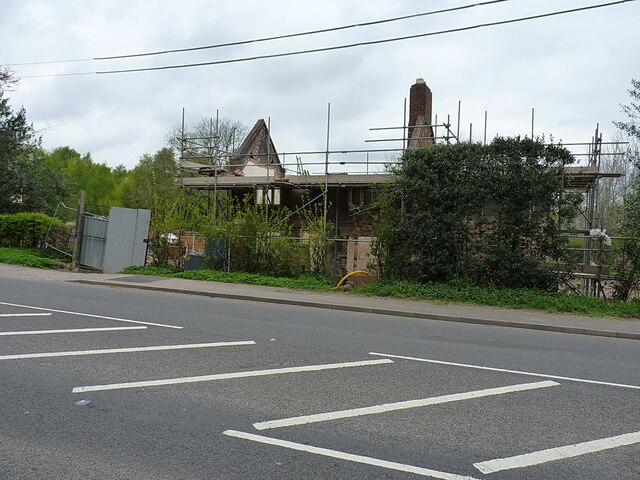
Aldershawe is primarily a residential area, consisting of a mix of old cottages and more modern houses. The village has a close-knit community, and the residents are known for their friendly and welcoming nature. The village is characterized by its peaceful and serene atmosphere, offering a quiet and tranquil lifestyle for its residents.

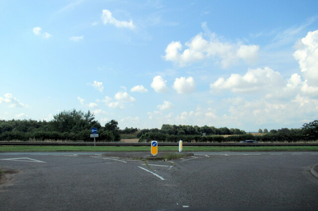
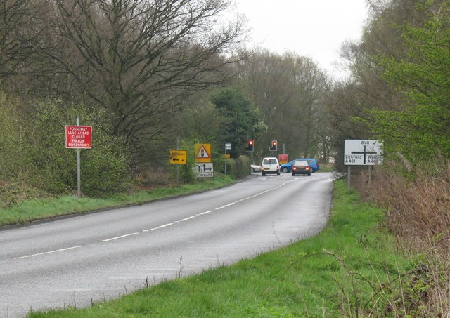
Despite its small size, Aldershawe is well-connected to nearby towns and cities. The A38 road runs just east of the village, providing easy access to Lichfield, Burton upon Trent, and Derby. The village is also served by several bus routes, connecting it to the wider public transportation network.

For amenities, Aldershawe is located in close proximity to the larger town of Lichfield, where residents can find a range of shops, supermarkets, restaurants, and other facilities. Lichfield also offers excellent educational opportunities, with a number of primary and secondary schools in the area.

Overall, Aldershawe offers a peaceful and charming village lifestyle, making it an attractive place to live for those seeking a rural retreat while still having easy access to nearby towns and cities.

If you have any feedback on the listing, please let us know in the comments section below.
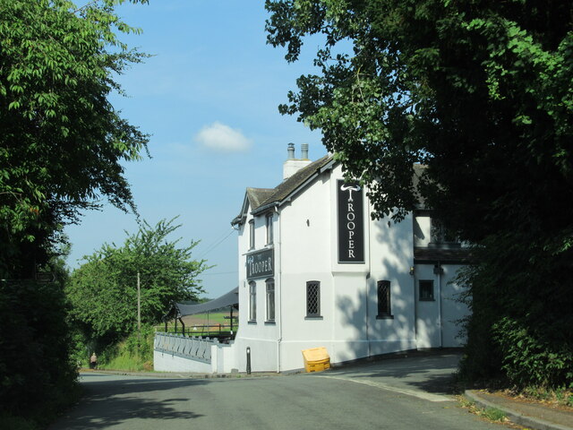
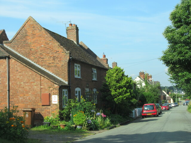
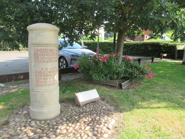
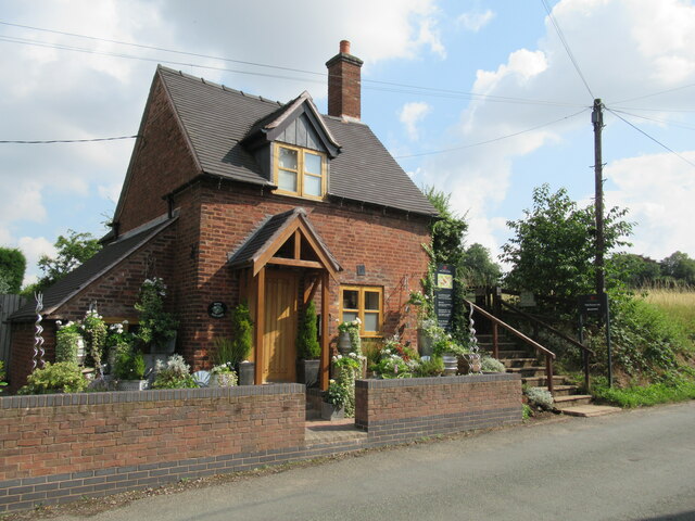
Aldershawe Images

Images are sourced within 2km of 52.664462/-1.847373 or Grid Reference SK1007. Thanks to Geograph Open Source API. All images are credited.

The Trooper pub at Wall
Watling Street Wall
Watling Street Wall
Milestone in Wall
Milestone in Wall
Cottage and entrance to Roman remains, Wall
Watling Street junction with the A5, Wall
Old Milestone, A461 Modern placement is on the SE side of the road on the grass verge. Installed between 1947 and 1956 according to maps.

Inscription: Lichfield / Parish // Walsall 8 // Lichfield 1½

Milestone Society ID: ST_WLLF08
Old Milestone, A461
Modern placement is on the SE side of the road on the grass verge. Installed between 1947 and 1956 according to maps. Inscription: Lichfield / Parish // Walsall 8 // Lichfield 1½ Milestone Society ID: ST_WLLF08
Large field southwest of Wall Lane
Lichfield direction on the former railway line The opposite view to that taken from the trackbed in <a href="https://www.geograph.org.uk/photo/4852272">SK0907 : Old Bridge</a>
Lichfield direction on the former railway line
The opposite view to that taken from the trackbed in SK0907 : Old Bridge
Track towards Peolsford House Part of a bridleway/footpath route from Pipehill to Pipe Hall - the route changes designation at an administrative boundary between the two.
Track towards Peolsford House
Part of a bridleway/footpath route from Pipehill to Pipe Hall - the route changes designation at an administrative boundary between the two.
Significant work to be done Some rebuilding work underway on a cottage beside the A461 at Pipe Marsh
Significant work to be done
Some rebuilding work underway on a cottage beside the A461 at Pipe Marsh
Recycled car hubcaps in Wall picnic area A picnic area by the car park for visitors to the village and its Roman excavations
Recycled car hubcaps in Wall picnic area
A picnic area by the car park for visitors to the village and its Roman excavations
A jubilee monument in the style of a Roman marker, Wall Erected in 2012 for Queen Elizabeth's diamond jubilee <a href="https://www.geograph.org.uk/photo/6050409">SK0906 : Modern Waymarker, Wall Roman Site Museum Car Park, Watling Street, Wall, off the A5</a> The text uses abbreviation, but a rough translation is: Her Majesty Queen Elizabeth by the grace of God in the 60th year of her reign the people of wall set up this monument/milestone at the centre of (Great) Britain.  Distances from Wall to London 114 miles, Gloucester 61 miles, Chester 63 miles and York 112 miles
A jubilee monument in the style of a Roman marker, Wall
Erected in 2012 for Queen Elizabeth's diamond jubilee SK0906 : Modern Waymarker, Wall Roman Site Museum Car Park, Watling Street, Wall, off the A5 The text uses abbreviation, but a rough translation is: Her Majesty Queen Elizabeth by the grace of God in the 60th year of her reign the people of wall set up this monument/milestone at the centre of (Great) Britain. Distances from Wall to London 114 miles, Gloucester 61 miles, Chester 63 miles and York 112 miles
Ploughed field on the edge of Wall
St John's church, Wall
Green Lane, Wall
Green Lane, Wall
Footpath and pointer, Wall
Excavations of the Roman site, Wall
The village hall, Wall
Show me another place!

Aldershawe is located at Grid Ref: SK1007 (Lat: 52.664462, Lng: -1.847373)

Administrative County: Staffordshire

District: Lichfield

Police Authority: Staffordshire

What 3 Words

///craftsman.recently.awesome. Near Lichfield, Staffordshire

Nearby Locations

Harehurst Hill Aldershawe

Related Wikis

Lichfield Canal

The Lichfield Canal, as it is now known, was historically a part of the Wyrley and Essington Canal, being the section of that canal from Ogley Junction...
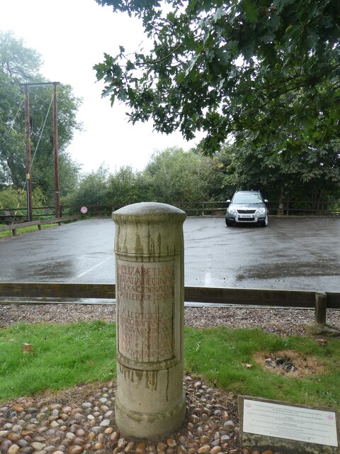
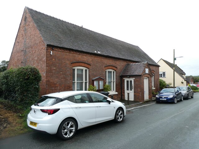
Wall, Staffordshire

Wall is a small village and civil parish in Staffordshire, England, just south of Lichfield. It lies on the site of the Roman settlement of Letocetum....
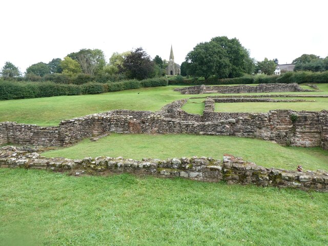
Letocetum

Letocetum is the ancient remains of a Roman settlement. It was an important military staging post and posting station near the junction of Watling Street...

Pipehill

Pipehill is a hamlet and former civil parish, now in the parish of Hammerwich, in the Lichfield district, in the county of Staffordshire, England. It is...

Nearby Amenities

Located within 500m of 52.664462,-1.847373
Aldershawe
Alt Name: Aldershaw
Place: hamlet
Source: NPE
Lat/Long: 52.664318/-1.8454904
Barrier: stile
Bicycle: no
Foot: yes
Horse: no
Material: wood
Motor Vehicle: no
Stile: stepover
Lat/Long: 52.6638497/-1.8455232
The data included in this document is from www.openstreetmap.org. The data is made available under ODbL.

Have you been to Aldershawe?

Leave your review of Aldershawe below (or comments, questions and feedback).