Harehurst Hill
Hill, Mountain in Staffordshire Lichfield
England
Harehurst Hill
Harehurst Hill is a prominent geographical feature located in Staffordshire, England. It is classified as a hill and is situated in the southern part of the county, near the village of Abbots Bromley.
Rising to an elevation of approximately 253 meters (830 feet), Harehurst Hill offers stunning panoramic views of the surrounding countryside. It is composed primarily of sandstone, which gives the hill a distinct reddish hue. The geology of the area dates back millions of years, with evidence of ancient glaciers and geological formations present in the landscape.
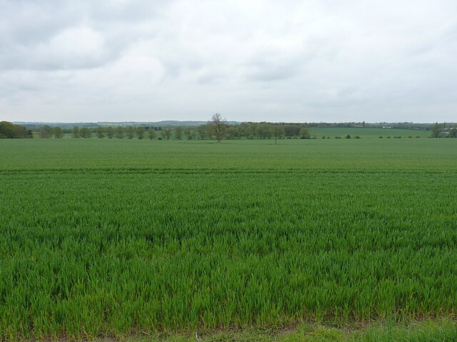
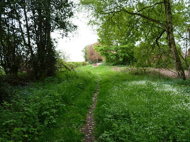
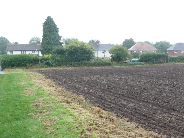
The hill is covered in a mixture of woodland and open grassland, providing a diverse habitat for a variety of plant and animal species. The woodlands are predominantly comprised of broadleaf trees such as oak, ash, and birch, while the grasslands are home to an array of wildflowers and grasses.
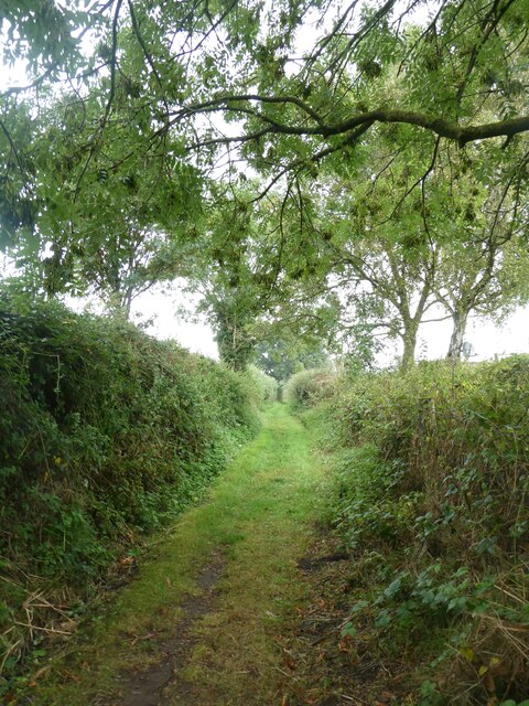
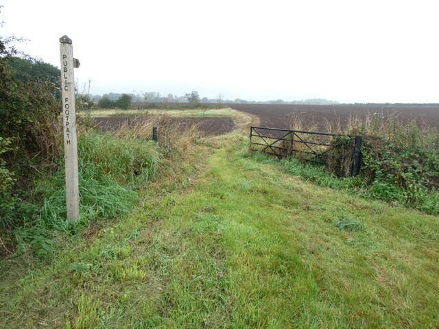
Harehurst Hill is a popular destination for outdoor enthusiasts and nature lovers. It offers numerous walking trails and paths, allowing visitors to explore the area and enjoy the tranquil scenery. The hill is also a haven for wildlife, with sightings of birds, small mammals, and insects being common.
Due to its elevated position, Harehurst Hill is often used as a vantage point for paragliding and other airborne activities. It attracts thrill-seekers seeking an adrenaline rush and an opportunity to take in breathtaking aerial views.
Overall, Harehurst Hill is a natural gem in Staffordshire, offering a unique blend of natural beauty, recreational opportunities, and ecological diversity.
If you have any feedback on the listing, please let us know in the comments section below.
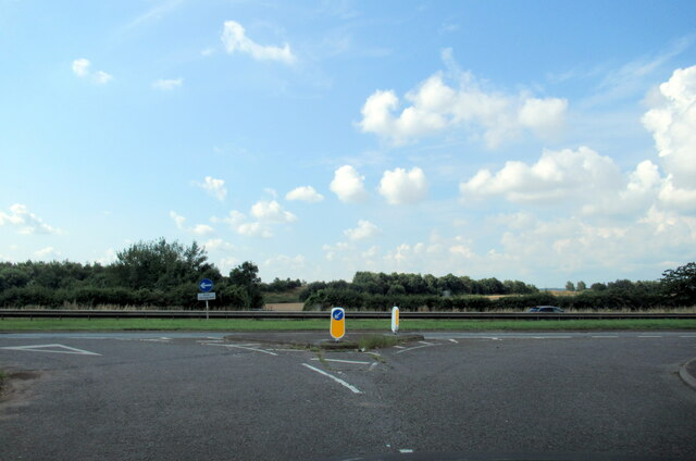
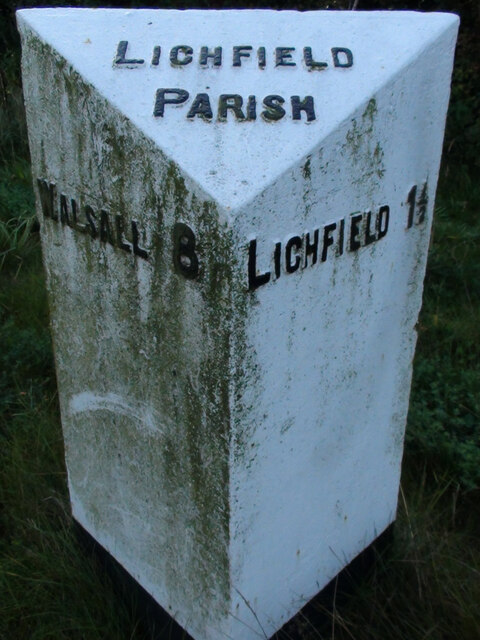
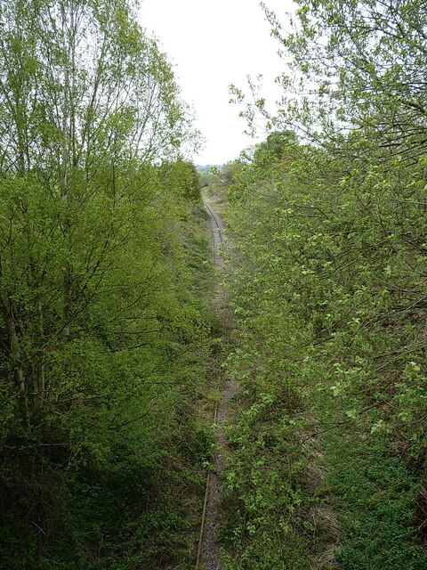
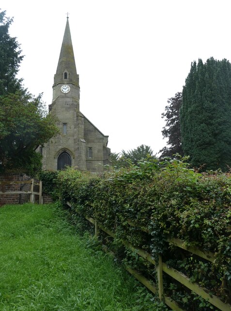
Harehurst Hill Images
Images are sourced within 2km of 52.662703/-1.8434386 or Grid Reference SK1007. Thanks to Geograph Open Source API. All images are credited.
Harehurst Hill is located at Grid Ref: SK1007 (Lat: 52.662703, Lng: -1.8434386)
Administrative County: Staffordshire
District: Lichfield
Police Authority: Staffordshire
What 3 Words
///direction.snappy.outlawing. Near Lichfield, Staffordshire
Nearby Locations
Related Wikis

Wall, Staffordshire
Wall is a small village and civil parish in Staffordshire, England, just south of Lichfield. It lies on the site of the Roman settlement of Letocetum....

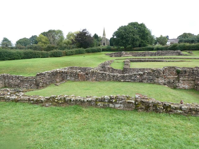
Letocetum
Letocetum is the ancient remains of a Roman settlement. It was an important military staging post and posting station near the junction of Watling Street...

Lichfield Canal
The Lichfield Canal, as it is now known, was historically a part of the Wyrley and Essington Canal, being the section of that canal from Ogley Junction...
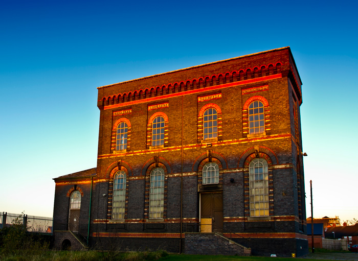
Sandfields Pumping Station
Sandfields Pumping Station is a disused pumping station in Lichfield, in Staffordshire, England. The engine house was built in 1873 and contains the original...
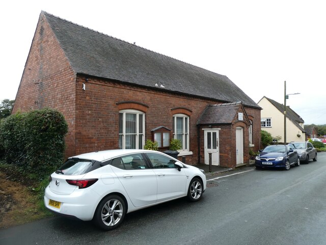
Pipehill
Pipehill is a hamlet and former civil parish, now in the parish of Hammerwich, in the Lichfield district, in the county of Staffordshire, England. It is...

Lichfield Clock Tower
Lichfield Clock Tower or Friary Clock Tower is a 19th-century Grade II listed clock tower located on "The Friary" south of Festival Gardens in the city...

King Edward VI School, Lichfield
King Edward VI School, Lichfield, is a co-educational secondary school and sixth form located near the heart of the city of Lichfield, Staffordshire, England...

Christ Church, Lichfield
Christ Church is a parish church in Lichfield, Staffordshire in the United Kingdom. The church is situated in Leamonsley in the south west area of the...
Nearby Amenities
Located within 500m of 52.662703,-1.8434386Have you been to Harehurst Hill?
Leave your review of Harehurst Hill below (or comments, questions and feedback).