Cleeve Hill
Hill, Mountain in Wiltshire
England
Cleeve Hill
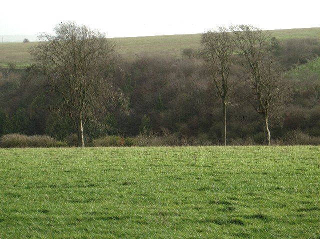
Cleeve Hill is a prominent hill located in the county of Wiltshire, England. It is part of the Cotswold Hills, which are known for their scenic beauty and rolling countryside. Rising to an elevation of 330 meters (1,083 feet), Cleeve Hill is the highest point in Wiltshire and offers breathtaking panoramic views of the surrounding landscape.
The hill is characterized by its gently sloping sides and a mainly grassy terrain, which makes it an ideal spot for walking, hiking, and outdoor activities. It is home to a diverse range of flora and fauna, including wildflowers, butterflies, and birds, making it a popular destination for nature enthusiasts.
Cleeve Hill is also of historical significance, as it is believed to have been inhabited since prehistoric times. Archaeological remains, such as Iron Age hillforts and burial mounds, have been discovered in the area, providing evidence of its ancient past.
At the summit of Cleeve Hill, there is a trig point that marks the highest point and serves as a reference point for mapping purposes. Additionally, there is a golf course located on the hill, which is one of the oldest in England and adds to the charm of the area.
Visitors to Cleeve Hill can enjoy several walking routes that meander through the picturesque countryside, taking in the stunning views and enjoying the tranquility of nature. The hill attracts both locals and tourists alike, who appreciate the natural beauty and peaceful atmosphere it offers.
If you have any feedback on the listing, please let us know in the comments section below.
Cleeve Hill Images
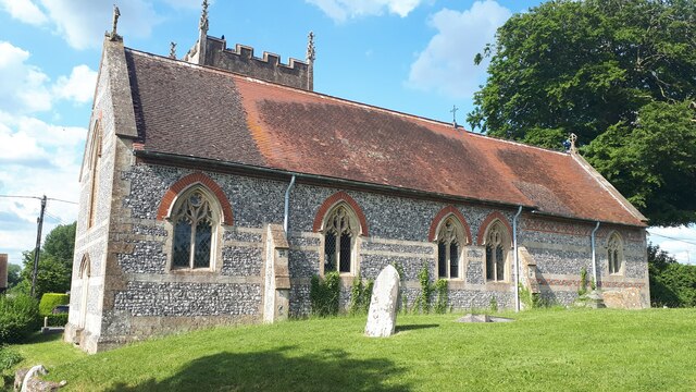
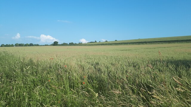
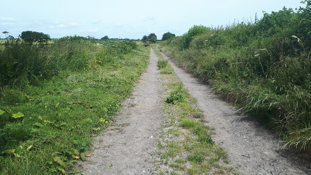
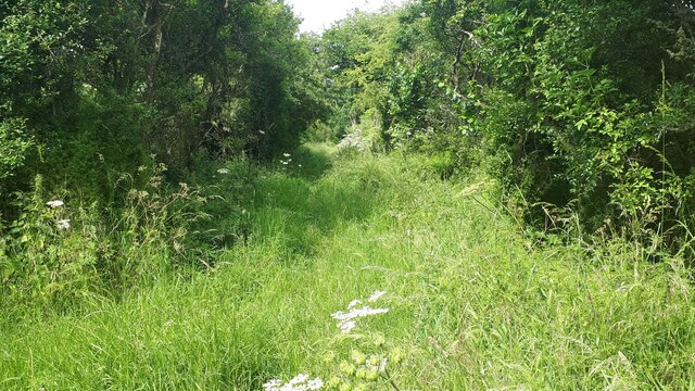
Images are sourced within 2km of 51.299616/-1.8485421 or Grid Reference SU1055. Thanks to Geograph Open Source API. All images are credited.


Cleeve Hill is located at Grid Ref: SU1055 (Lat: 51.299616, Lng: -1.8485421)
Unitary Authority: Wiltshire
Police Authority: Wiltshire
What 3 Words
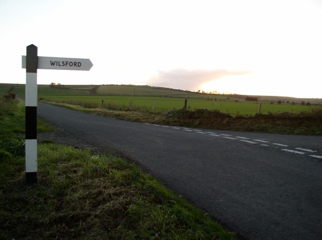
///losing.pirates.deleting. Near Wilsford, Wiltshire
Nearby Locations
Related Wikis

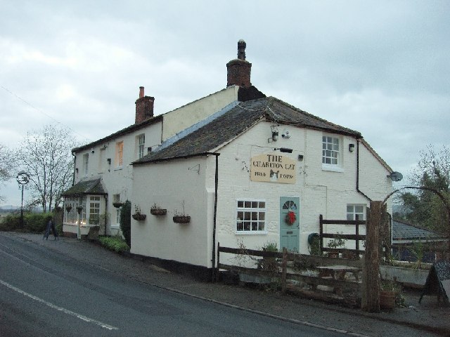
Charlton St Peter and Wilsford
Charlton St Peter and Wilsford Joint Parish Council is a grouped parish council serving the adjacent civil parishes of Charlton St Peter and Wilsford,...
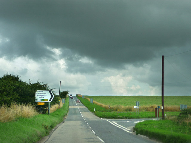
A342 road
The A342 is an A road in England that runs from Pewsham near Chippenham, Wiltshire to Andover, Hampshire. == Route == The road begins at the A4 junction...

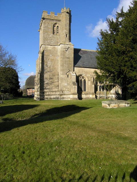
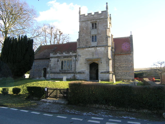
Charlton St Peter
Charlton St Peter or just Charlton is a small village and civil parish in the Vale of Pewsey in the English county of Wiltshire. The village lies about...

Wilsford, Wiltshire
Wilsford is a small village and civil parish in the Vale of Pewsey in the English county of Wiltshire, about 4 miles (6 km) southwest of Pewsey. The Salisbury...

Rushall, Wiltshire
Rushall is a small village and civil parish in Wiltshire, England, 8 miles (13 km) southeast of Devizes and 3⁄4 mile (1.2 km) northwest of Upavon on the...
Wilsford Henge
Wilsford Henge is the site of a Neolithic henge, west of the village of Wilsford, Wiltshire in the United Kingdom (grid reference SU09305732). The site...

Casterley Camp
Casterley Camp is the site of an Iron Age univallate hillfort in Wiltshire, England, about 1+1⁄2 miles (2.4 km) south-west of the village of Upavon. The...
James Anderson Slater
Flight Lieutenant James Anderson Slater (27 November 1896 – 26 November 1925) was a British First World War flying ace, credited with 24 aerial victories...
Nearby Amenities
Located within 500m of 51.299616,-1.8485421Have you been to Cleeve Hill?
Leave your review of Cleeve Hill below (or comments, questions and feedback).