Goddard's Cleeve

Wood, Forest in Wiltshire

England

Goddard's Cleeve

St Peter's Church, Charlton St Peter
St Peter's Church, Charlton St Peter Credit: David Martin

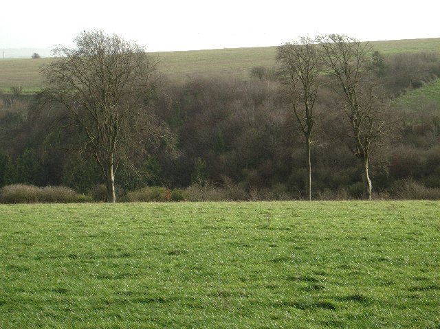
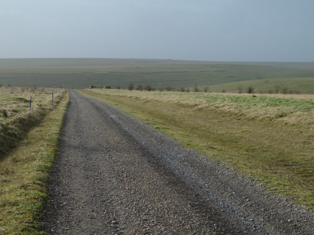
Goddard's Cleeve is a picturesque woodland located in Wiltshire, England. Situated within the larger area known as the Cotswolds, it is a popular destination for nature enthusiasts and those seeking tranquility amidst the beauty of nature. The woodland covers an area of approximately 200 acres and is privately owned by the Goddard family.

The woodland is predominantly composed of ancient broad-leafed trees, such as oak, beech, and ash, which provide a rich habitat for a diverse array of flora and fauna. Bluebells carpet the forest floor during the spring months, creating a stunning display of color and fragrance. The area is also home to a variety of wildlife, including deer, badgers, foxes, and a wide range of bird species.

Goddard's Cleeve offers numerous walking trails, allowing visitors to explore the woodland at their own pace. These paths wind through the trees, offering breathtaking views of the surrounding countryside and providing opportunities for visitors to spot wildlife. The peaceful atmosphere and natural beauty of the woodland make it an ideal spot for photography, picnics, and quiet contemplation.

Managed with great care and respect for its natural heritage, Goddard's Cleeve also serves as an educational resource. It hosts guided walks and workshops to promote understanding and appreciation of the natural environment. The woodland is open to the public, and visitors are encouraged to follow the designated trails and adhere to any guidelines provided to preserve the delicate balance of the ecosystem.

Goddard's Cleeve, with its ancient trees, diverse wildlife, and stunning landscapes, offers a serene and enchanting experience for anyone seeking solace in nature's embrace.

If you have any feedback on the listing, please let us know in the comments section below.

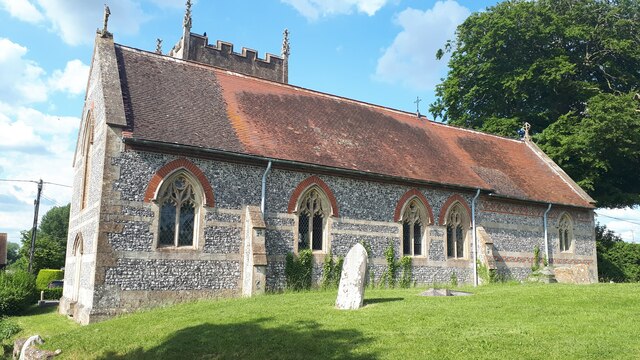
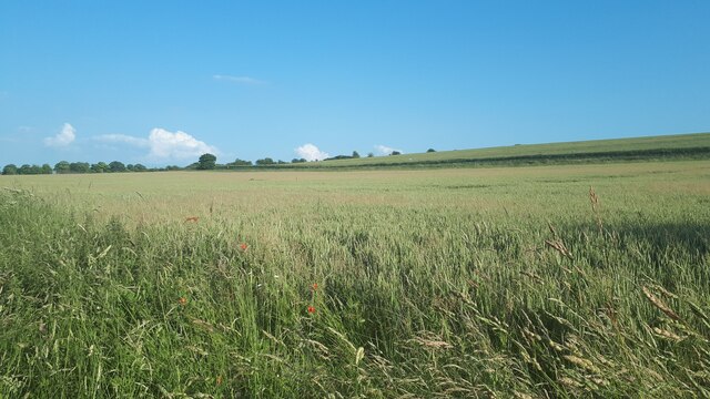
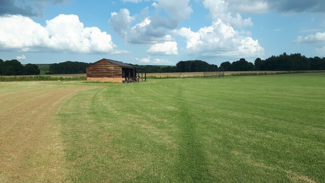
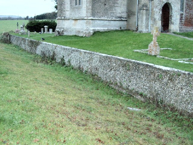
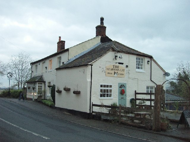
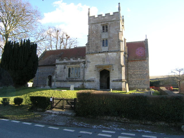
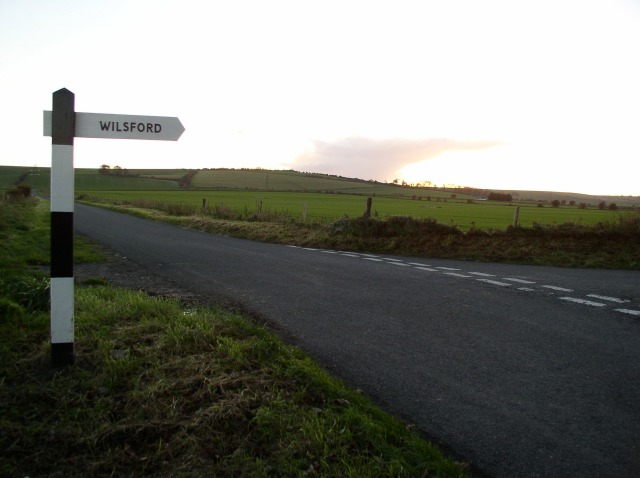
Goddard's Cleeve Images

Images are sourced within 2km of 51.294027/-1.8448317 or Grid Reference SU1055. Thanks to Geograph Open Source API. All images are credited.

St Peter's Church, Charlton St Peter
Farmland south of Charlton St Peter This view is crossed by the Devizes Road, marked by the line of hedge.
Farmland south of Charlton St Peter
This view is crossed by the Devizes Road, marked by the line of hedge.
Footpath past cricket pavilion at Rushall
The ha-ha at Rushall Church
The Charlton Cat Famous for the annual 'Duck Feast' held there. See <span class="nowrap"><a title="http://en.wikipedia.org/wiki/Charlton,_Pewsey_Vale" rel="nofollow ugc noopener" href="http://en.wikipedia.org/wiki/Charlton,_Pewsey_Vale">Link</a><img style="margin-left:2px;" alt="External link" title="External link - shift click to open in new window" src="https://s1.geograph.org.uk/img/external.png" width="10" height="10"/></span> . Stephen Duck was a locally born poet of modest means who attracted Royal patronage, and had an annual feast endowed in his honour by Lord Palmerston.
The Charlton Cat
Famous for the annual 'Duck Feast' held there. See LinkExternal link . Stephen Duck was a locally born poet of modest means who attracted Royal patronage, and had an annual feast endowed in his honour by Lord Palmerston.
Charlton St Peter, Wiltshire, St Peter's Church Known as just Charlton on the OS 1:25000 maps and in reference books, the modern OS larger scale map which Geograph links to uses the modern name for this village, as do the road signs.
Charlton St Peter, Wiltshire, St Peter's Church
Known as just Charlton on the OS 1:25000 maps and in reference books, the modern OS larger scale map which Geograph links to uses the modern name for this village, as do the road signs.
The road to Wilsford
Barns beside A342
Barns beside A342
Byway with view across Vale Of Pewsey This byway descends Wilsford Hill and leads to Wilsford
Byway with view across Vale Of Pewsey
This byway descends Wilsford Hill and leads to Wilsford
Barn and Broadbury Banks hillfort The bank to the left of the track past the barn is the outer bank of the Broadbury Banks hill fort.
Barn and Broadbury Banks hillfort
The bank to the left of the track past the barn is the outer bank of the Broadbury Banks hill fort.
Larkhill Artillery Range
Trig point
Trig point
Flock of birds over piggery The farm with the extensive pig unit in this grid square seems to feed rather a lot more birds than it does pigs.  There were extensive numbers of rooks and, I think, starlings but I couldn't say what made up the flock shown here.  This flock in the air represents less than a quarter of those that I observed in the piggery as a whole.
Flock of birds over piggery
The farm with the extensive pig unit in this grid square seems to feed rather a lot more birds than it does pigs. There were extensive numbers of rooks and, I think, starlings but I couldn't say what made up the flock shown here. This flock in the air represents less than a quarter of those that I observed in the piggery as a whole.
Disused barn
Disused barn
Open field and trees In the slightly more sheltered ground off Salisbury Plain trees are more able to thrive
Open field and trees
In the slightly more sheltered ground off Salisbury Plain trees are more able to thrive
Larkhill Artillery Range building This building guards one of the entrances to the Larkhill Artillery Range.  In the background is the piggery that feeds the birds shown in <a href="https://www.geograph.org.uk/photo/301441">SU1054 : Flock of birds over piggery</a>
Larkhill Artillery Range building
This building guards one of the entrances to the Larkhill Artillery Range. In the background is the piggery that feeds the birds shown in SU1054 : Flock of birds over piggery
The Demolition Road This track leads to the "Demolition Area" on Larkhill Artillery Range.

To the upper right of the image the earthworks associated with the "Long Ditch" can be seen on the slope of the hill.
The Demolition Road
This track leads to the "Demolition Area" on Larkhill Artillery Range. To the upper right of the image the earthworks associated with the "Long Ditch" can be seen on the slope of the hill.
View over open fields towards Widdington Farm
Show me another place!

Goddard's Cleeve is located at Grid Ref: SU1055 (Lat: 51.294027, Lng: -1.8448317)

Unitary Authority: Wiltshire

Police Authority: Wiltshire

What 3 Words

///compiler.coder.waltzed. Near Wilsford, Wiltshire

Related Wikis

Charlton St Peter and Wilsford

Charlton St Peter and Wilsford Joint Parish Council is a grouped parish council serving the adjacent civil parishes of Charlton St Peter and Wilsford,...
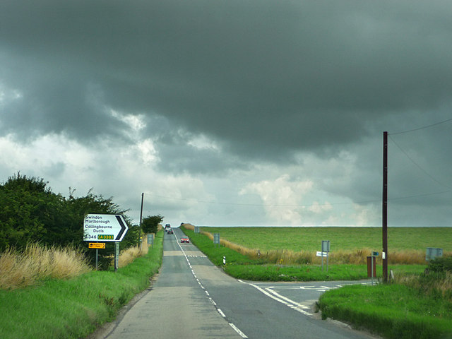
A342 road

The A342 is an A road in England that runs from Pewsham near Chippenham, Wiltshire to Andover, Hampshire. == Route == The road begins at the A4 junction...

Charlton St Peter

Charlton St Peter or just Charlton is a small village and civil parish in the Vale of Pewsey in the English county of Wiltshire. The village lies about...

Casterley Camp

Casterley Camp is the site of an Iron Age univallate hillfort in Wiltshire, England, about 1+1⁄2 miles (2.4 km) south-west of the village of Upavon. The...

Rushall, Wiltshire

Rushall is a small village and civil parish in Wiltshire, England, 8 miles (13 km) southeast of Devizes and 3⁄4 mile (1.2 km) northwest of Upavon on the...

James Anderson Slater

Flight Lieutenant James Anderson Slater (27 November 1896 – 26 November 1925) was a British First World War flying ace, credited with 24 aerial victories...

Wilsford, Wiltshire

Wilsford is a small village and civil parish in the Vale of Pewsey in the English county of Wiltshire, about 4 miles (6 km) southwest of Pewsey. The Salisbury...

Upavon

Upavon is a rural village and civil parish in the county of Wiltshire, England. As its name suggests, it is on the upper portion of the River Avon which...

Nearby Amenities

Located within 500m of 51.294027,-1.8448317
The data included in this document is from www.openstreetmap.org. The data is made available under ODbL.

Have you been to Goddard's Cleeve?

Leave your review of Goddard's Cleeve below (or comments, questions and feedback).