Alport Head

Hill, Mountain in Derbyshire High Peak

England

Alport Head

Grains in the Water
Grains in the Water Credit: Peter McDermott

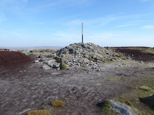
Alport Head is a prominent hill located in the county of Derbyshire, England. Situated in the northern part of the Peak District National Park, it stands at an elevation of approximately 517 meters (1,696 feet) above sea level. The hill is part of the Kinder Scout plateau, which is renowned for its stunning natural beauty and rugged terrain.

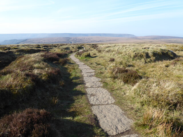
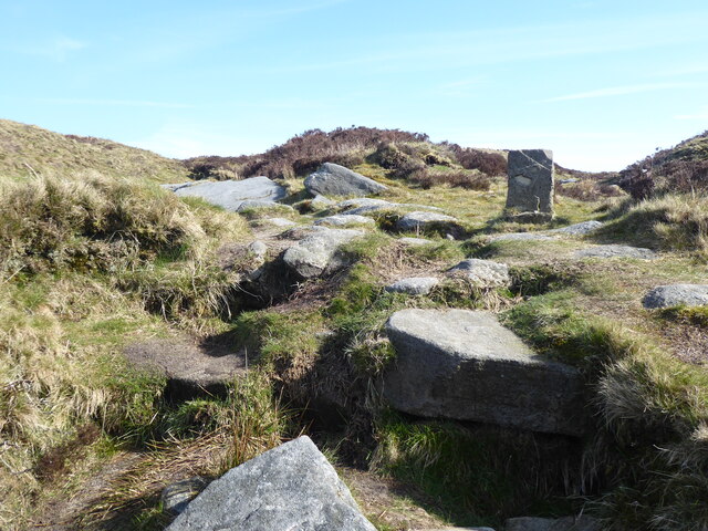
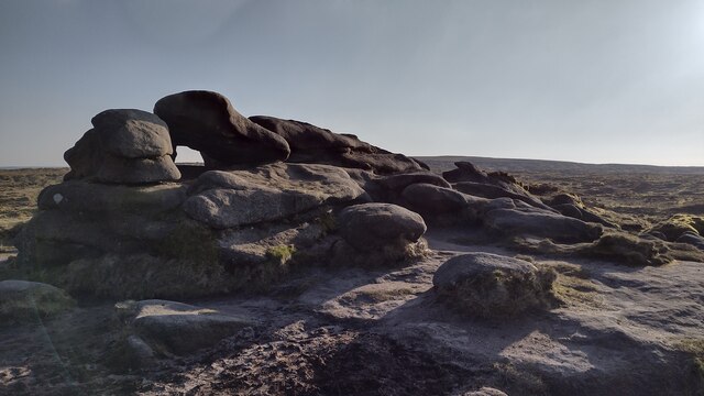
Alport Head is characterized by its distinctive shape, featuring a gently sloping northern side and a steep escarpment on its southern face. The hill is predominantly composed of Millstone Grit, a coarse sandstone that is prevalent in the area. This geological formation gives Alport Head its unique character and contributes to its popularity among outdoor enthusiasts, such as hikers and climbers.

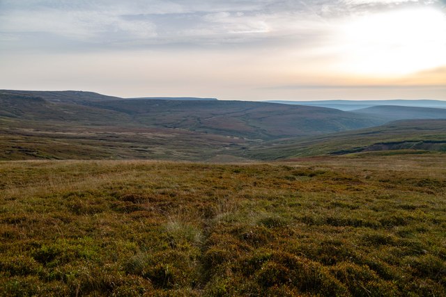
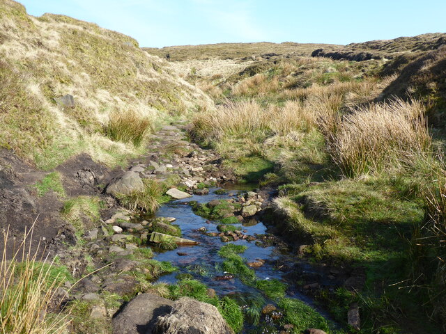
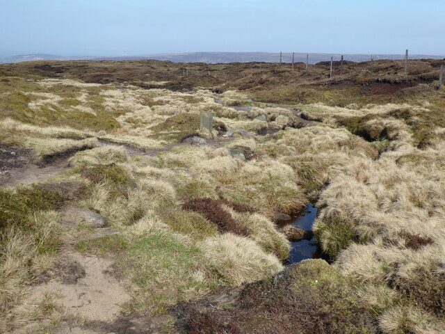
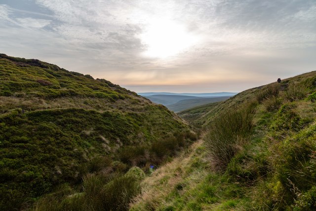
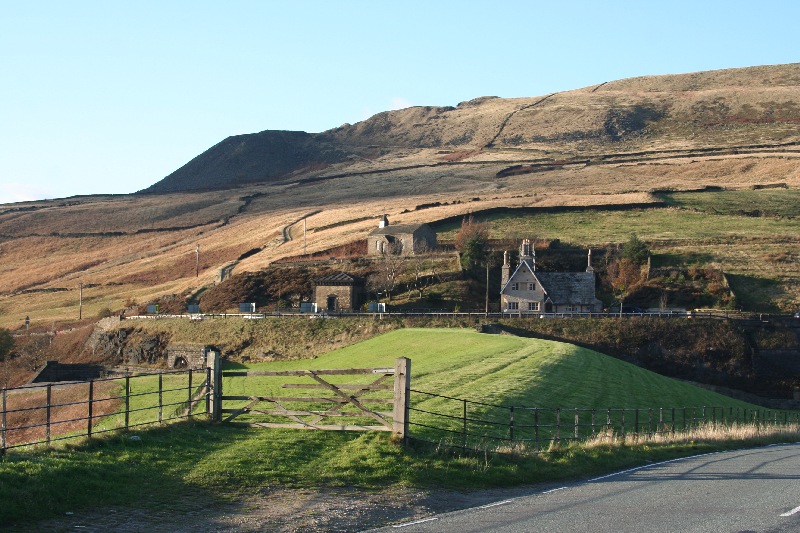
The summit of Alport Head offers breathtaking panoramic views of the surrounding landscape. On a clear day, visitors can enjoy vistas of the neighboring hills and valleys, including Bleaklow, Kinder Scout, and the Derwent Valley. The hill is also home to a variety of flora and fauna, with heather, bracken, and grasses covering its slopes, and birds of prey often spotted soaring overhead.

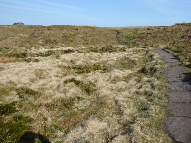
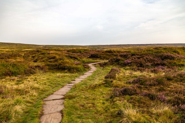
Access to Alport Head is mostly via footpaths and trails that traverse the surrounding countryside. The area is well-suited for outdoor activities, including hillwalking, orienteering, and birdwatching. The hill's proximity to other notable attractions, such as the picturesque villages of Edale and Castleton, makes it a popular destination for tourists and locals alike. Alport Head offers a chance to immerse oneself in the natural beauty of Derbyshire's Peak District and appreciate the rugged charm of this idyllic hill.

If you have any feedback on the listing, please let us know in the comments section below.
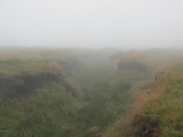
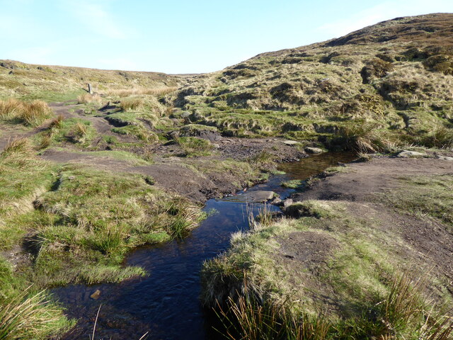
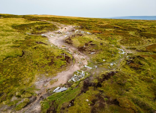
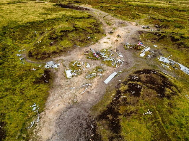
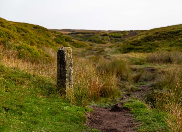
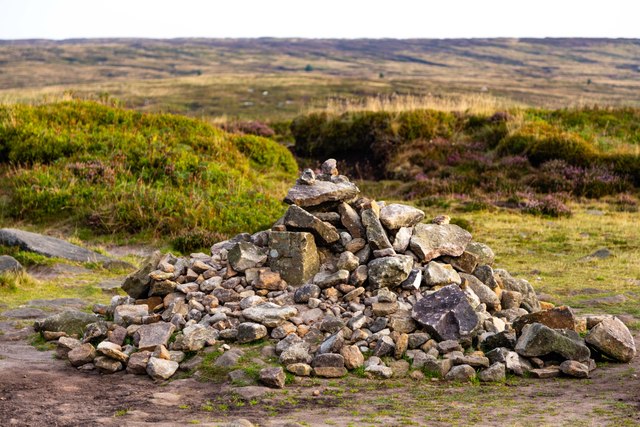
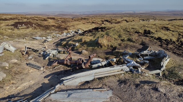
Alport Head Images

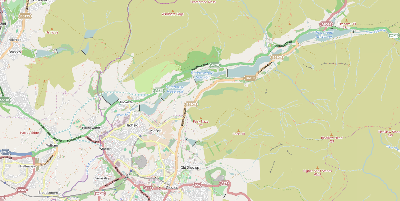
Images are sourced within 2km of 53.459079/-1.8409963 or Grid Reference SK1095. Thanks to Geograph Open Source API. All images are credited.

Grains in the Water
Grains in the Water
A clough near the Hern Stones A typical summer day on Bleaklow.
A clough near the Hern Stones
A typical summer day on Bleaklow.
The Pennine Way near Alport Low
The Pennine Way near Hern Clough
The Pennine Way near Hern Stones
A marker stone near to the Pennine Way
The Pennine Way at Bleaklow Head
The Pennine Way near Far Moss
Pennine Way The Pennine Way above Alport Low.
Pennine Way
The Pennine Way above Alport Low.
Bleaklow Crash Site Aerial view of the crash site of the USAF Boeing RB-29A Superfortress, near Higher Shelf Stones on Bleaklow.
Bleaklow Crash Site
Aerial view of the crash site of the USAF Boeing RB-29A Superfortress, near Higher Shelf Stones on Bleaklow.
Bleaklow Crash Site Aerial view of the crash site of the USAF Boeing RB-29A Superfortress, near Higher Shelf Stones on Bleaklow.

See also <a href="https://www.geograph.org.uk/photo/7592221">SK0994 : Bleaklow Crash Site</a>.
Bleaklow Crash Site
Aerial view of the crash site of the USAF Boeing RB-29A Superfortress, near Higher Shelf Stones on Bleaklow. See also SK0994 : Bleaklow Crash Site.
Bleaklow Crash Site Engine, gearbox  and radiator at the crash site of the USAF Boeing RB-29A Superfortress, near Higher Shelf Stones on Bleaklow.
Bleaklow Crash Site
Engine, gearbox and radiator at the crash site of the USAF Boeing RB-29A Superfortress, near Higher Shelf Stones on Bleaklow.
Pennine Way Way marker show the route of the Pennine Way where it splits from the path leading to the <a href="https://www.geograph.org.uk/photo/7592222">SK0994 : Bleaklow Crash Site</a>.
Pennine Way
Way marker show the route of the Pennine Way where it splits from the path leading to the SK0994 : Bleaklow Crash Site.
Pennine Way Pile of stones alongside the Pennine Way.
Pennine Way
Pile of stones alongside the Pennine Way.
Hern Clough
Hern Clough
Wreckage of B-29 Superfortress Wreckage of the B-29 Superfortress Overexposed which crashed on 3rd Nov 1948
Wreckage of B-29 Superfortress
Wreckage of the B-29 Superfortress Overexposed which crashed on 3rd Nov 1948
Hern Stones Hern Stones on Bleaklow
Hern Stones
Hern Stones on Bleaklow
Show me another place!

Alport Head is located at Grid Ref: SK1095 (Lat: 53.459079, Lng: -1.8409963)

Administrative County: Derbyshire

District: High Peak

Police Authority: Derbyshire

What 3 Words

///brings.spins.interacts. Near Glossop, Derbyshire

Nearby Locations

Alport Head

Related Wikis

Nearby Amenities

Located within 500m of 53.459079,-1.8409963
Ford: yes
Lat/Long: 53.4597943/-1.8350943
The data included in this document is from www.openstreetmap.org. The data is made available under ODbL.

Have you been to Alport Head?

Leave your review of Alport Head below (or comments, questions and feedback).