Carlton Curlieu
Civil Parish in Leicestershire Harborough
England
Carlton Curlieu

Carlton Curlieu is a civil parish located in the county of Leicestershire, England. It covers an area of approximately 2.5 square miles and is situated about 6 miles southeast of the city of Leicester. The parish is primarily rural, with a small population of around 100 residents.
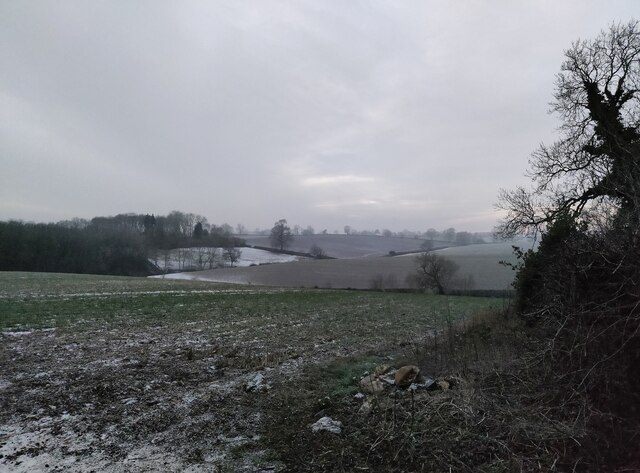
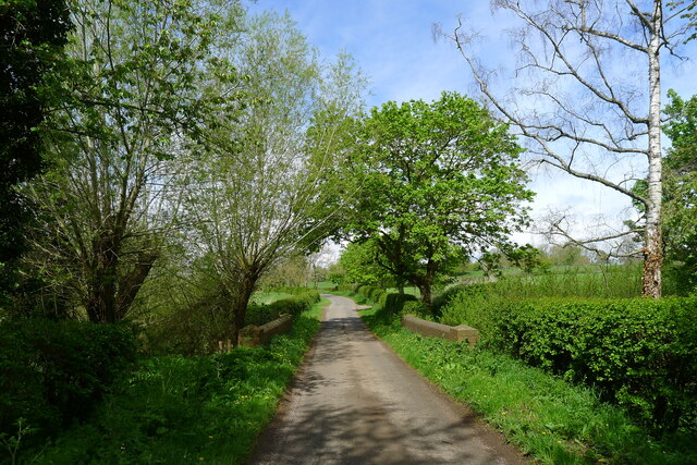
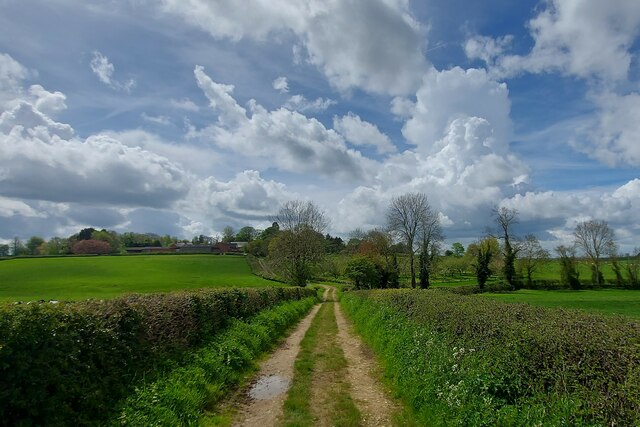
The village of Carlton Curlieu is known for its picturesque beauty and charming countryside. It is surrounded by rolling hills, lush green fields, and meandering streams, making it an idyllic location for those seeking a peaceful and tranquil setting. The parish is predominantly agricultural, with farming being the main economic activity.
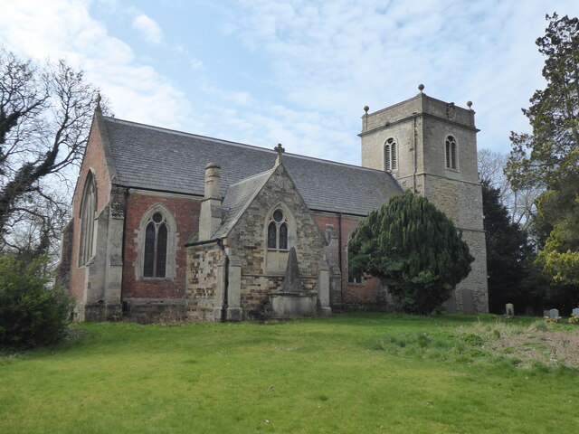
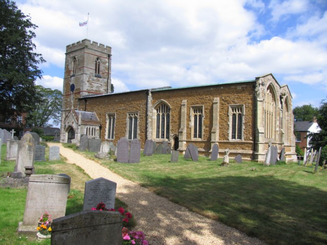
The village itself is small and consists of a cluster of cottages and a few larger houses. The local church, St. Mary's, is a notable landmark in the area. Dating back to the 12th century, it showcases beautiful architectural features and holds historical significance.
The parish is well-connected to neighboring areas via a network of roads, making it easily accessible for both residents and visitors. Despite its small size, Carlton Curlieu offers a close-knit community atmosphere, with residents actively involved in local events and activities.
Overall, Carlton Curlieu is a charming and tranquil civil parish in Leicestershire, offering a rural escape from the nearby city of Leicester. Its natural beauty, rich history, and community spirit make it an appealing destination for those seeking a peaceful countryside retreat.
If you have any feedback on the listing, please let us know in the comments section below.
Carlton Curlieu Images
Images are sourced within 2km of 52.562174/-0.972439 or Grid Reference SP6996. Thanks to Geograph Open Source API. All images are credited.


Carlton Curlieu is located at Grid Ref: SP6996 (Lat: 52.562174, Lng: -0.972439)
Administrative County: Leicestershire
District: Harborough
Police Authority: Leicestershire
What 3 Words
///strange.paler.pounding. Near Kibworth Harcourt, Leicestershire
Nearby Locations
Related Wikis
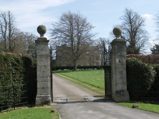
Carlton Curlieu Hall
Carlton Curlieu Hall is a privately owned 17th-century country house at Carlton Curlieu, Leicestershire. It is the home of the Palmer family and is a Grade...

Carlton Curlieu
Carlton Curlieu is a small village and civil parish in the Harborough district of Leicestershire, about eleven miles south-east of Leicester city centre...
Burton Overy
Burton Overy is a village and civil parish in the Harborough district of Leicestershire, about nine miles south-east of Leicester city centre, and not...

Tur Langton
Tur Langton (derived from the Anglo-Saxon word for an enclosure, meaning "long town") is a small village and civil parish in the Harborough district, in...
Nearby Amenities
Located within 500m of 52.562174,-0.972439Have you been to Carlton Curlieu?
Leave your review of Carlton Curlieu below (or comments, questions and feedback).