Carlton Colville
Civil Parish in Suffolk East Suffolk
England
Carlton Colville

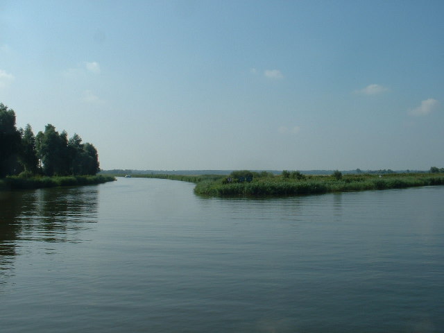
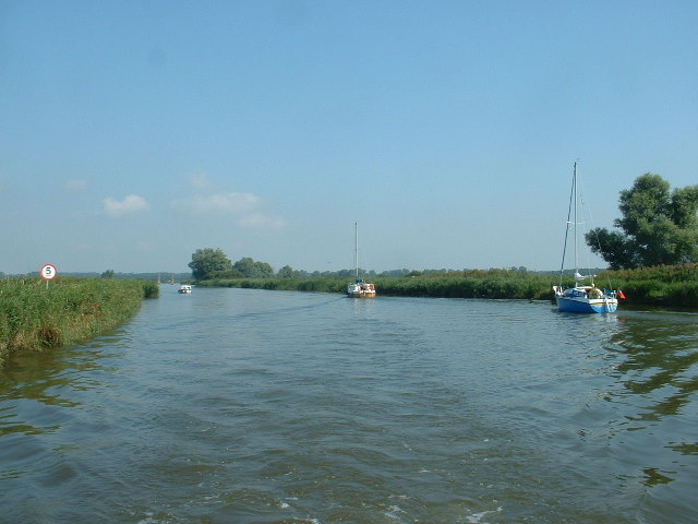
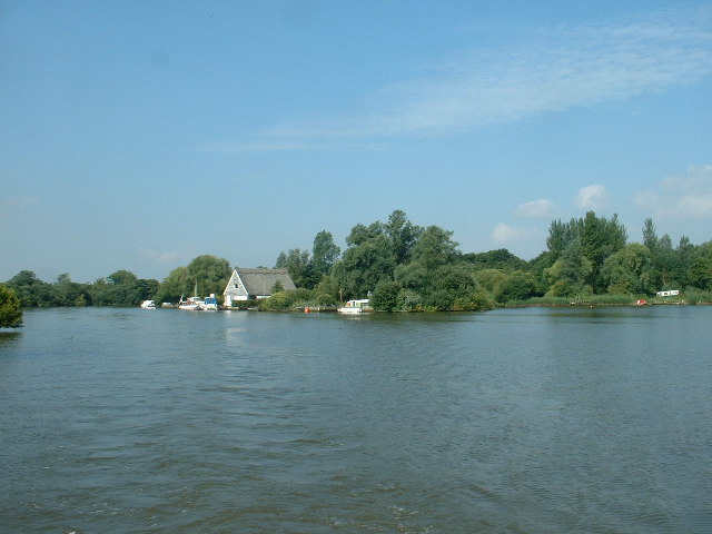
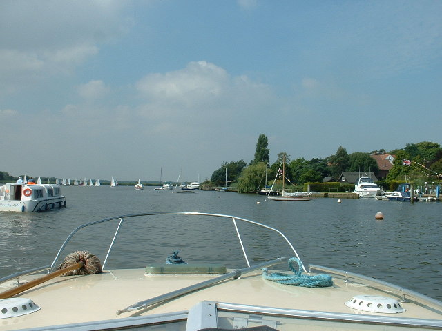
Carlton Colville is a civil parish located in the county of Suffolk, England. It is situated approximately 3 miles southwest of the coastal town of Lowestoft and covers an area of around 7 square miles. The parish is bordered by the North Sea to the east, Oulton Broad to the north, and the A146 road to the west.
Historically, Carlton Colville was a rural village, but it has experienced significant growth and development in recent years, becoming a popular residential area. The population of the parish is estimated to be around 9,000 people, and it continues to attract new residents due to its proximity to both Lowestoft and the picturesque Suffolk countryside.
Despite its growth, Carlton Colville has managed to maintain a strong sense of community. The parish has a range of amenities, including shops, schools, and recreational facilities, making it an attractive place for families. The local Carlton Marshes nature reserve offers opportunities for outdoor activities, such as walking and birdwatching.
The area also has a rich history, with several historic buildings and landmarks. The Grade II listed St. Peter's Church, dating back to the 13th century, is a notable architectural feature. Additionally, Carlton Colville is home to the East Anglia Transport Museum, which showcases vintage vehicles and provides a glimpse into the region's transport heritage.
Overall, Carlton Colville is a vibrant civil parish that combines modern amenities with a strong sense of community spirit and a rich historical heritage.
If you have any feedback on the listing, please let us know in the comments section below.
Carlton Colville Images
Images are sourced within 2km of 52.472324/1.677521 or Grid Reference TM4992. Thanks to Geograph Open Source API. All images are credited.


![Converted Brewery, Oulton Broad Now [presumably] expensive apartments.](https://s0.geograph.org.uk/photos/11/56/115620_5079557c.jpg)


Carlton Colville is located at Grid Ref: TM4992 (Lat: 52.472324, Lng: 1.677521)
Administrative County: Suffolk
District: East Suffolk
Police Authority: Suffolk
What 3 Words
///straws.lousy.metro. Near Lowestoft, Suffolk
Nearby Locations
Related Wikis

Oulton Dyke
Oulton Dyke is a freshwater stretch of water in the Norfolk Broads, located in Suffolk within the United Kingdom. The dyke connects Oulton Broad near Lowestoft...
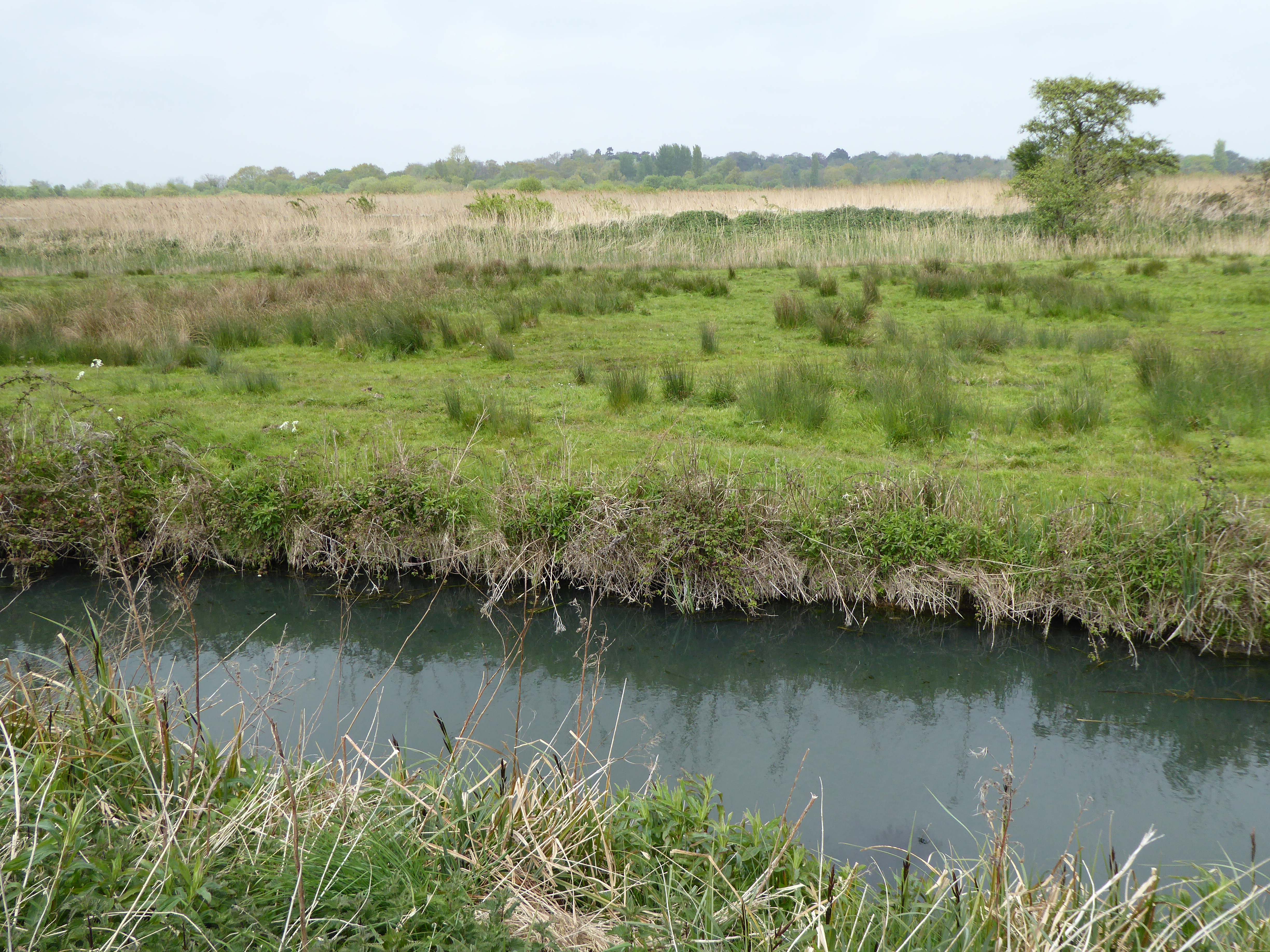
Sprat's Water and Marshes, Carlton Colville
Sprat's Water and Marshes, Carlton Colville is a 57.1-hectare (141-acre) biological Site of Special Scientific Interest on the western outskirts of Lowestoft...
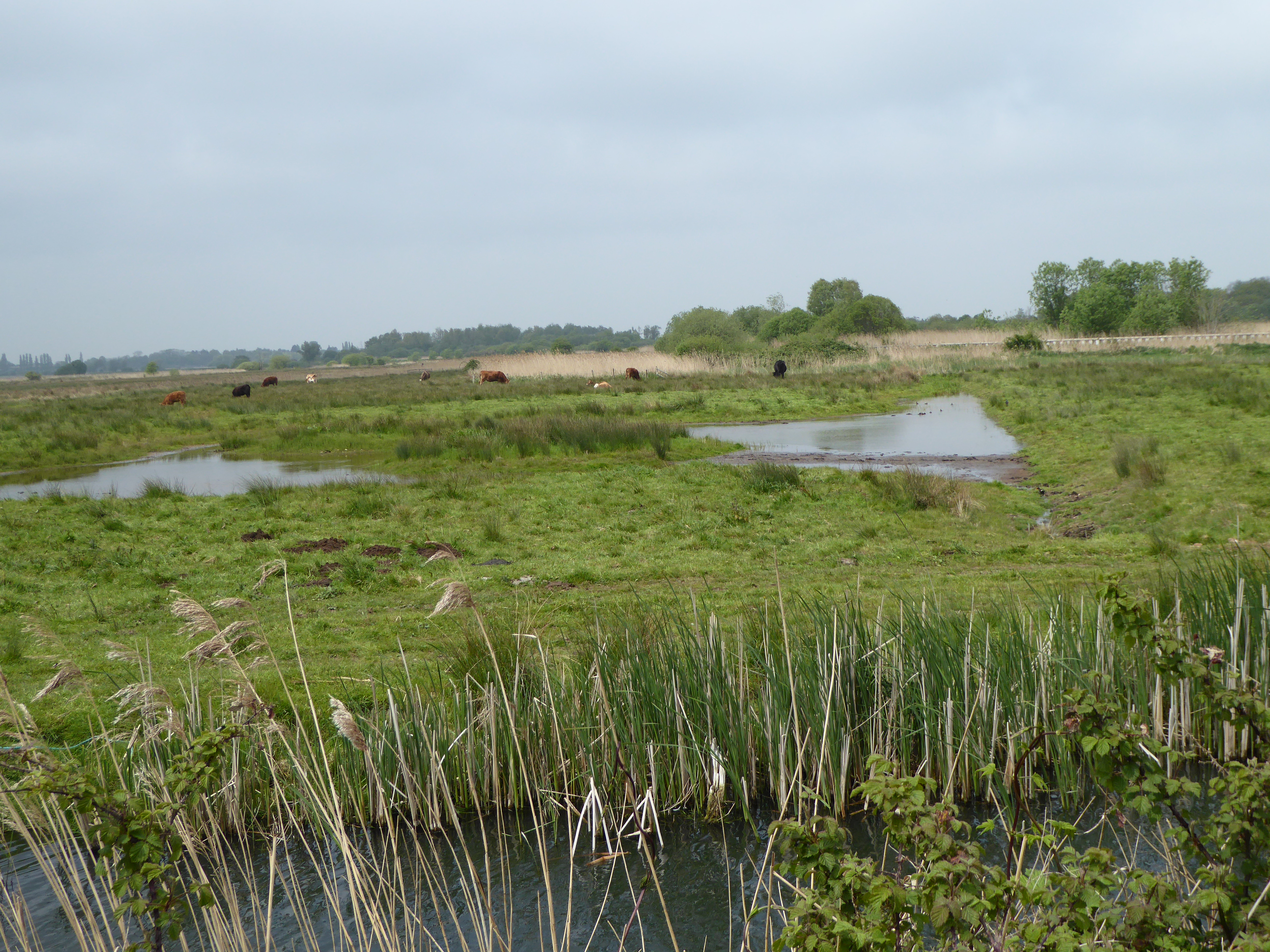
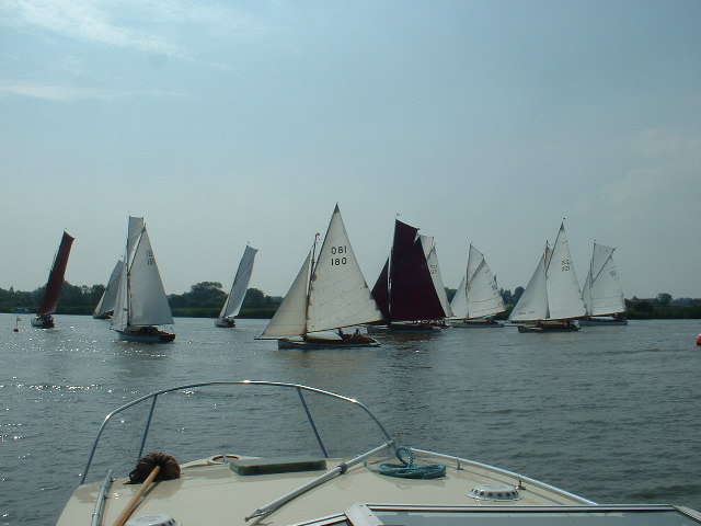
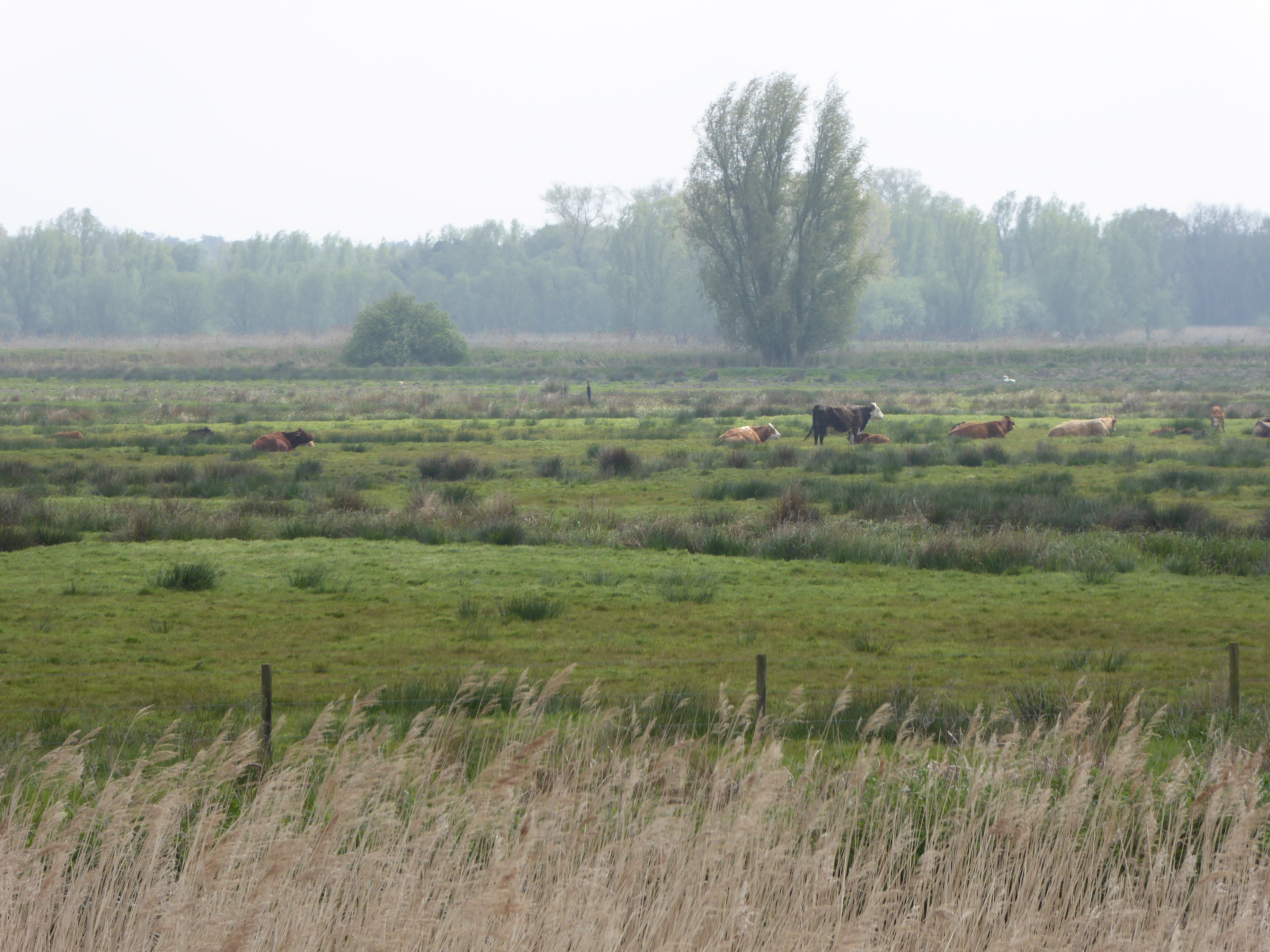
Carlton and Oulton Marshes
Carlton and Oulton Marshes is a 151 hectare nature reserve in Lowestoft in Suffolk. It is managed by the Suffolk Wildlife Trust. Carlton Marshes is part...

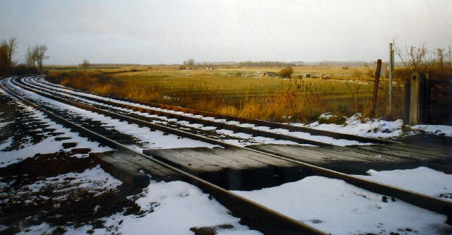
Oulton Broad South railway station
Oulton Broad South railway station (originally Carlton Colville) is on the East Suffolk Line in the east of England, and is one of two stations serving...
Barnby Broad and Marshes
Barnby Broad and Marshes is a Site of Special Scientific Interest (SSSI) in the Waveney district of the English county of Suffolk. The site is 189.6 hectares...

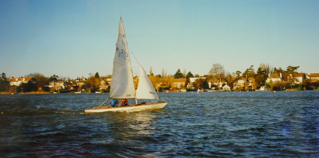
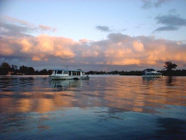
Oulton Broad
Oulton Broad refers to both the lake and the suburb of Lowestoft in the English county of Suffolk. The suburb is located 2 miles (3.2 km) west of the centre...
South Broads Lifeboat Station
South Broads Lifeboat Station was an RNLI operated lifeboat station located on Oulton Broad in the town of Lowestoft in the English county of Suffolk....

Carlton Colville
Carlton Colville is a civil parish and suburb of Lowestoft in the English county of Suffolk. It is 3 miles (5 km) south-west of the centre of the town...
Nearby Amenities
Located within 500m of 52.472324,1.677521Have you been to Carlton Colville?
Leave your review of Carlton Colville below (or comments, questions and feedback).