Carlton and Chellington
Civil Parish in Bedfordshire
England
Carlton and Chellington

Carlton and Chellington is a civil parish located in the county of Bedfordshire, England. Situated in the eastern part of the county, the parish covers an area of approximately 7.4 square kilometers. It is situated about 7 miles north of Bedford, the county town.
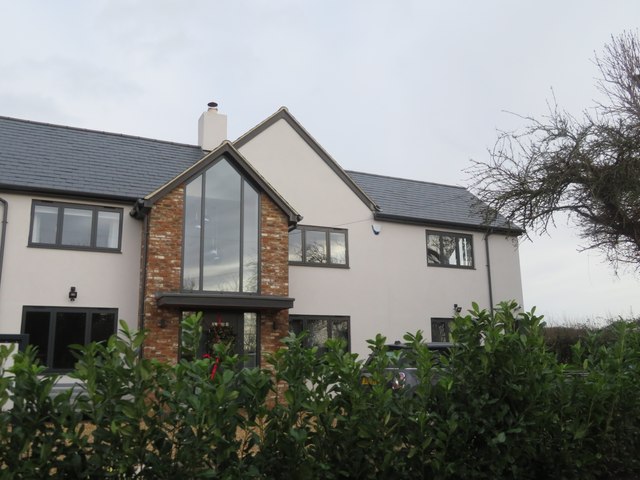
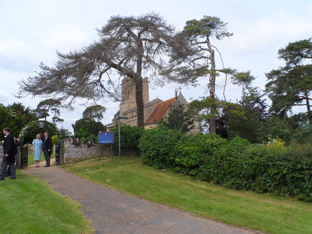
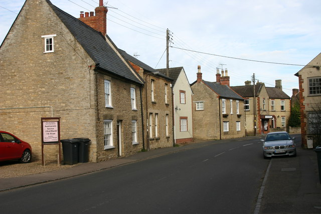
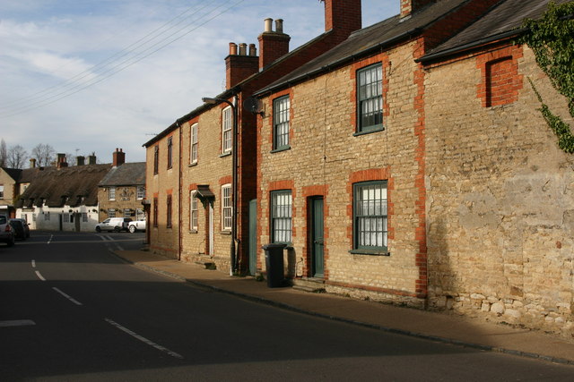
The parish is made up of two villages, Carlton and Chellington, which are nestled amidst picturesque countryside. The villages have a rich history, with Carlton dating back to medieval times and Chellington mentioned in the Domesday Book of 1086. The area is characterized by its quaint charm, with traditional stone cottages, thatched roofs, and a peaceful ambiance.
Both Carlton and Chellington have a small population, with a close-knit community feel. The villages offer basic amenities such as a local pub and a village hall, providing a gathering place for events and community activities. The surrounding countryside offers ample opportunities for outdoor activities, including walking, cycling, and bird-watching.
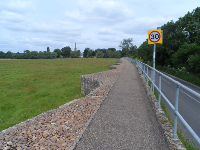
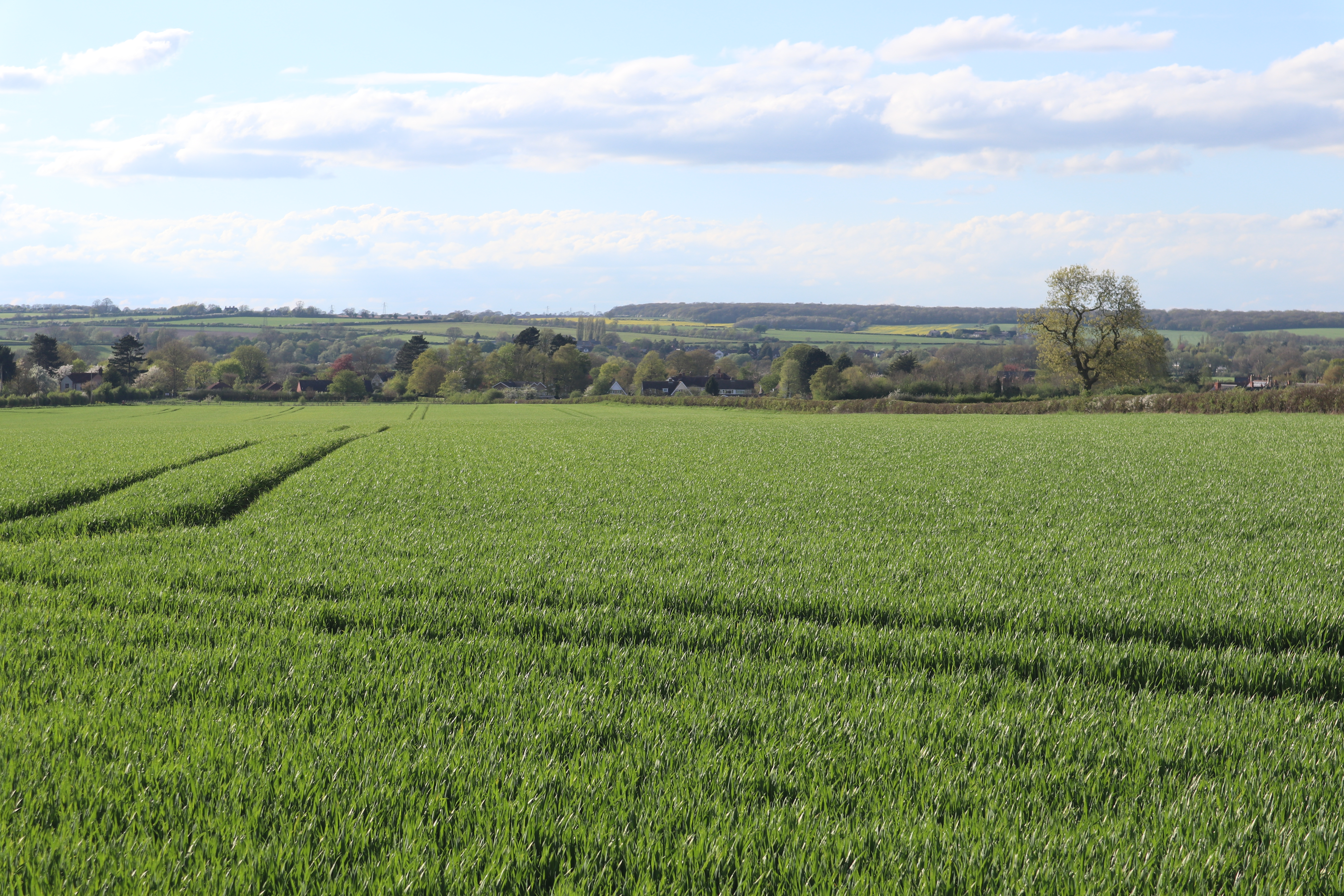
The parish is surrounded by beautiful natural landscapes, with the River Great Ouse running through the area. The river provides a scenic backdrop and is a popular spot for fishing and boating enthusiasts. The nearby Harrold-Odell Country Park offers a tranquil retreat, with its picturesque lakes, woodlands, and wildlife.
Overall, Carlton and Chellington is a charming and idyllic civil parish that provides a peaceful and rural lifestyle, making it an attractive place to live for those seeking a slower pace of life amidst the natural beauty of Bedfordshire.
If you have any feedback on the listing, please let us know in the comments section below.
Carlton and Chellington Images
Images are sourced within 2km of 52.18754/-0.596122 or Grid Reference SP9655. Thanks to Geograph Open Source API. All images are credited.


![Stinking Iris [Iris foetidissima] Striking fruits of this wild Iris by a lakeside footpath in Harrold-Odell Country Park. The crushed leaves are said to have a strong unpleasant smell when bruised.](https://s2.geograph.org.uk/geophotos/07/68/14/7681450_6677eb81.jpg)


Carlton and Chellington is located at Grid Ref: SP9655 (Lat: 52.18754, Lng: -0.596122)
Unitary Authority: Bedford
Police Authority: Bedfordshire
What 3 Words
///streaking.inhales.lengthen. Near Harrold, Bedfordshire
Nearby Locations
Related Wikis

Carlton with Chellington
Carlton with Chellington is a civil parish in the historical Hundred of Willey in Bedfordshire, England, and is within the Borough of Bedford. The parish...
Carlton, Bedfordshire
Carlton is a village and former civil parish, now in the parish of Carlton and Chellington, in the Bedford district, in the ceremonial county of Bedfordshire...
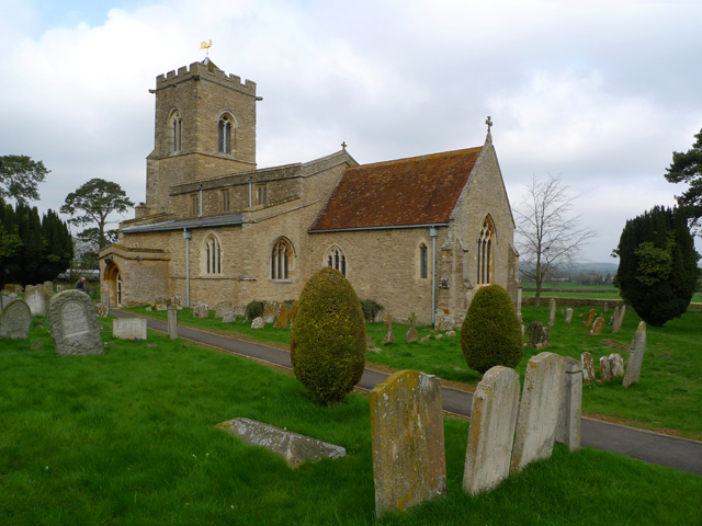
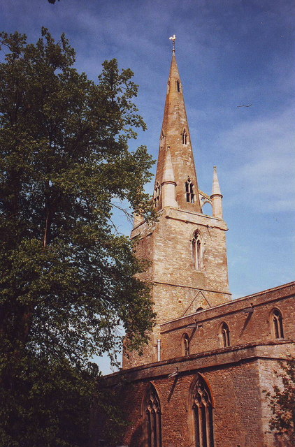
Church of St Mary, Carlton, Bedfordshire
Church of St Mary is a Grade I listed church in Carlton, Bedfordshire, England. == See also == Grade I listed buildings in Bedfordshire == References ==
Chellington
Chellington is a village and former civil parish, now in the parish of Carlton and Chellington, in the Bedford district, in the ceremonial county of Bedfordshire...
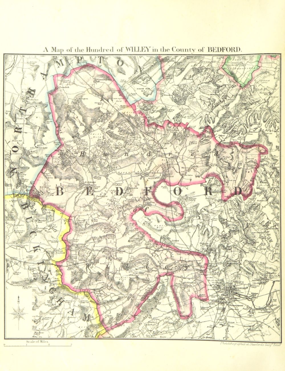
Hundred of Willey
The Hundred of Willey is a historical land division, a hundred in the northwest corner of Bedfordshire, England. Its northwestern boundary is the county...
Harrold Priory
Harrold Priory was a priory in Harrold, Bedfordshire, England. It was established in 1138 and disestablished in 1536. == History == The priory of Harrold...
Harrold Hall
Harrold Hall was a country house in Harrold, Bedfordshire, England. Dated to 1210, the house was demolished in 1961. == References ==
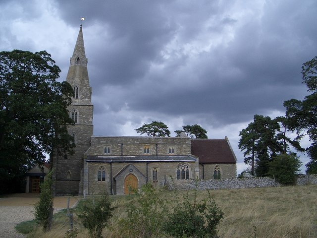
Church of St Peter, Harrold, Bedfordshire
Church of St Peter is a Grade I listed church in Harrold, Bedfordshire, England. == See also == Grade I listed buildings in Bedfordshire == References ==
Related Videos
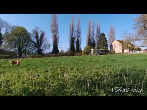
Walking the dog
Bebop in Harrold.

Harrold Village, Bedfordshire
Harrold Village from the sky.
Park up in our NV200
One night stay at Harold Odell Park.

Pipers Campsite Carlton Beds
I went to a lovely campsite in Carlton Beds which was had stables in Betty. I met a couple of women and spent the evening with ...
Nearby Amenities
Located within 500m of 52.18754,-0.596122Have you been to Carlton and Chellington?
Leave your review of Carlton and Chellington below (or comments, questions and feedback).