Clarrissa's Spinney
Wood, Forest in Leicestershire Harborough
England
Clarrissa's Spinney

Clarrissa's Spinney is a picturesque woodland located in Leicestershire, England. Spread over several acres, the Spinney is a true haven for nature enthusiasts and those seeking tranquility in the heart of the countryside. The woodland, known locally as a spinney, is a small forested area characterized by dense vegetation, tall trees, and a rich variety of wildlife.
As visitors enter Clarrissa's Spinney, they are greeted by an enchanting landscape filled with ancient oak, beech, and ash trees, creating a majestic canopy overhead. The woodland floor is adorned with a carpet of wildflowers, ferns, and mosses, adding to the ethereal beauty of the surroundings. The Spinney is particularly renowned for its bluebells, which create a breathtaking spectacle during spring.
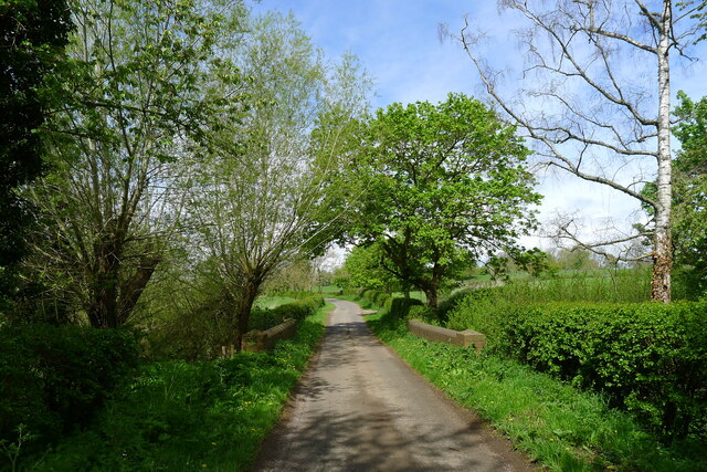
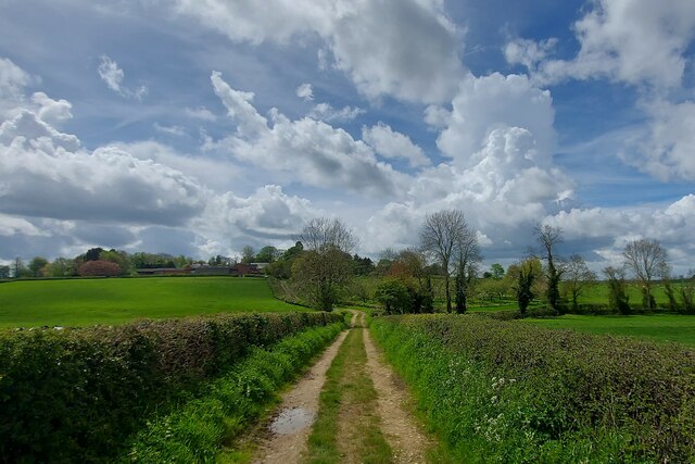
The woodland is crisscrossed by well-maintained walking trails, allowing visitors to explore its hidden treasures at their own pace. These paths wind through the forest, passing babbling brooks, small ponds, and meadows, providing ample opportunities for birdwatching and wildlife spotting. Common sightings include rabbits, squirrels, foxes, and various species of birds, making it a paradise for nature photographers and wildlife enthusiasts.
Clarrissa's Spinney is not only a place of natural beauty but also holds historical significance. It is believed that the woodland was named after Clarrissa, a local figure who once owned the land. The Spinney has been protected and preserved, ensuring that future generations can continue to enjoy its splendor.
Visitors to Clarrissa's Spinney are advised to come prepared with appropriate footwear and clothing, as well as to follow any guidelines provided to maintain the integrity of the woodland. With its serene atmosphere and abundant natural wonders, Clarrissa's Spinney offers a refreshing escape from the hustle and bustle of everyday life.
If you have any feedback on the listing, please let us know in the comments section below.
Clarrissa's Spinney Images
Images are sourced within 2km of 52.562197/-0.97989865 or Grid Reference SP6996. Thanks to Geograph Open Source API. All images are credited.


Clarrissa's Spinney is located at Grid Ref: SP6996 (Lat: 52.562197, Lng: -0.97989865)
Administrative County: Leicestershire
District: Harborough
Police Authority: Leicestershire
What 3 Words
///sharpens.stormed.given. Near Kibworth Harcourt, Leicestershire
Nearby Locations
Related Wikis
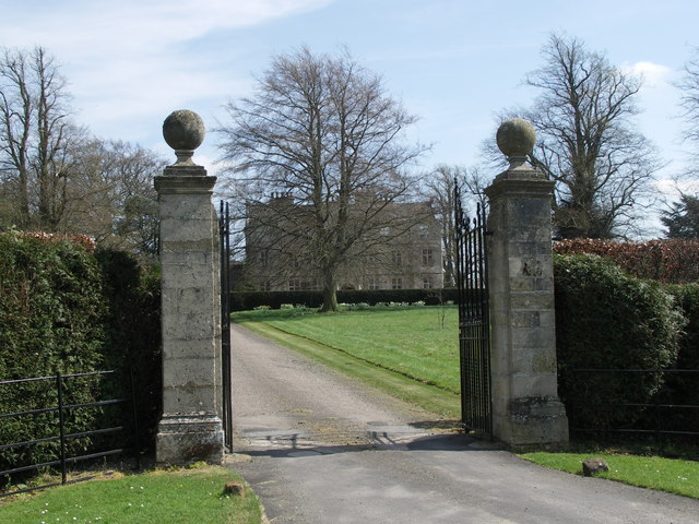
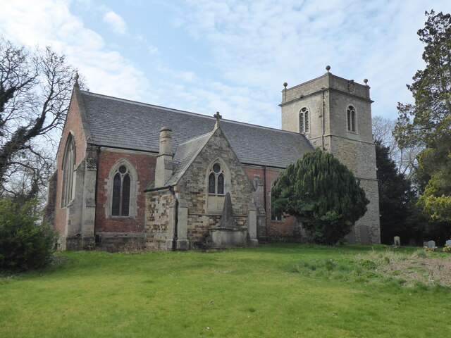
Carlton Curlieu Hall
Carlton Curlieu Hall is a privately owned 17th-century country house at Carlton Curlieu, Leicestershire. It is the home of the Palmer family and is a Grade...

Carlton Curlieu
Carlton Curlieu is a small village and civil parish in the Harborough district of Leicestershire, about eleven miles south-east of Leicester city centre...
Burton Overy
Burton Overy is a village and civil parish in the Harborough district of Leicestershire, about nine miles south-east of Leicester city centre, and not...
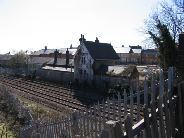
Kibworth railway station
Kibworth railway station was opened by the Midland Railway in 1857 on what is now the Midland Main Line. == History == Plans had been made earlier in 1847...
Nearby Amenities
Located within 500m of 52.562197,-0.97989865Have you been to Clarrissa's Spinney?
Leave your review of Clarrissa's Spinney below (or comments, questions and feedback).