Carleton St. Peter
Civil Parish in Norfolk South Norfolk
England
Carleton St. Peter

Carleton St. Peter is a civil parish located in the county of Norfolk, England. It is a rural area situated approximately 10 miles southeast of the city of Norwich. The parish covers an area of about 4 square miles and is home to a small population.
The village of Carleton St. Peter is characterized by its picturesque countryside surroundings. It is predominantly an agricultural area, with vast fields and farmland that contribute to the local economy. The landscape is dotted with charming cottages and traditional farmhouses, adding to the rural charm of the parish.
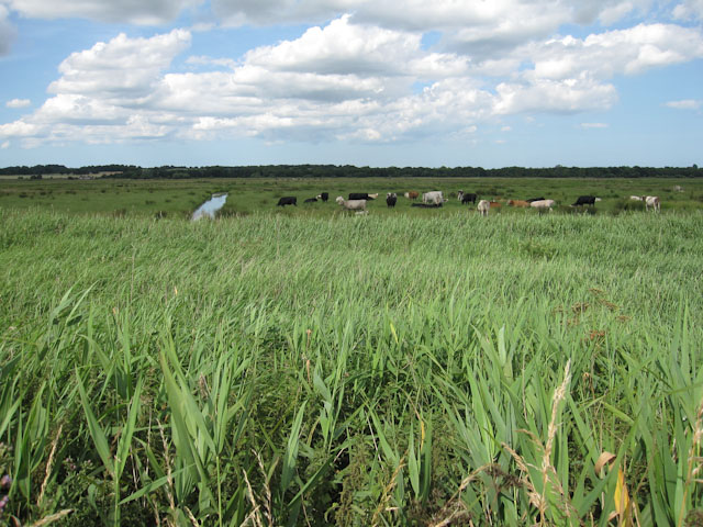
The parish is surrounded by natural beauty, with the River Yare flowing nearby, offering opportunities for fishing and boating activities. Additionally, there are several nature reserves in close proximity, providing ample opportunities for outdoor enthusiasts to explore and enjoy the local wildlife.
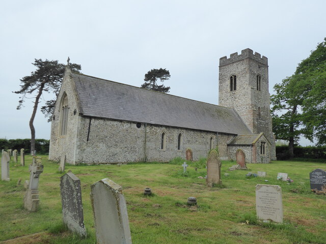
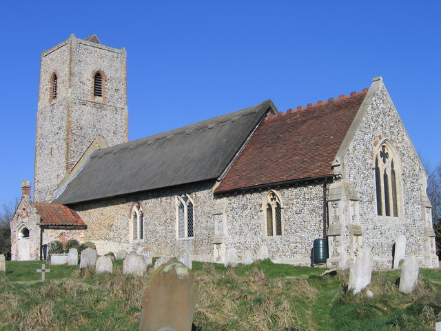
Carleton St. Peter is also home to the Grade I listed St. Peter's Church, which dates back to the 14th century. The church is a significant historical and architectural landmark in the area, attracting visitors interested in its rich heritage.
In terms of amenities, the parish has limited facilities, with no shops or schools within its boundaries. However, nearby villages and towns offer a range of services and amenities for residents and visitors alike.
Overall, Carleton St. Peter is a tranquil and idyllic civil parish that offers a peaceful retreat from urban life, with its beautiful countryside, historic church, and close proximity to the River Yare.
If you have any feedback on the listing, please let us know in the comments section below.
Carleton St. Peter Images
Images are sourced within 2km of 52.581177/1.459096 or Grid Reference TG3403. Thanks to Geograph Open Source API. All images are credited.


Carleton St. Peter is located at Grid Ref: TG3403 (Lat: 52.581177, Lng: 1.459096)
Administrative County: Norfolk
District: South Norfolk
Police Authority: Norfolk
What 3 Words
///everybody.cooks.wobbles. Near Lingwood, Norfolk
Nearby Locations
Related Wikis
Claxton, Norfolk
Claxton is a small village 8.5 miles (13.7 km) south-east of Norwich, and south of the River Yare, between Rockland St. Mary and Loddon in South Norfolk...

Claxton Castle
Claxton Castle in the village of Claxton, Norfolk, is a ruined brick castle some 13 km southeast of Norwich. == Details == Sir William de Kerdeston and...

Ducan's Marsh
Ducan's Marsh is a 3.6-hectare (8.9-acre) biological Site of Special Scientific Interest north-east of Loddon in Norfolk. It is part of the Broadland Ramsar...

Mid-Yare National Nature Reserve
Mid-Yare NNR is a national nature reserve in Norfolk, east of Norwich, established by English Nature and managed by the Royal Society for the Protection...

Carleton St Peter
Carleton St Peter is a hamlet and civil parish in South Norfolk approximately 8+1⁄2 miles (13.7 km) south-east of Norwich. There is no village centre but...

Rockland Broad
Rockland Broad is an area of open water, known as a broad, located north east of the village of Rockland St. Mary in the English county of Norfolk. The...
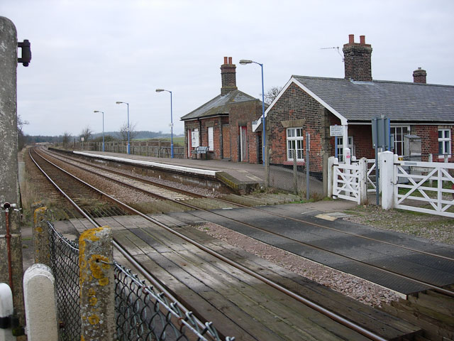
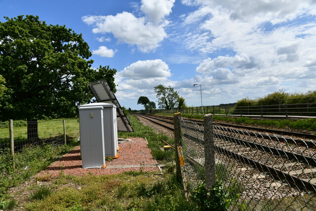
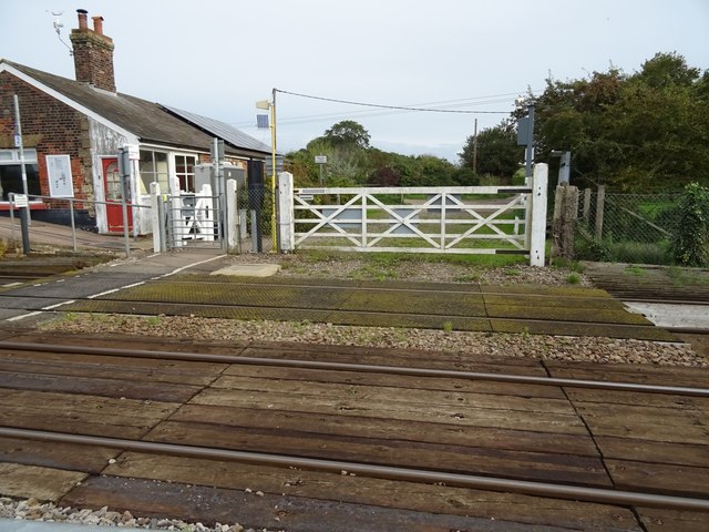
Buckenham railway station
Buckenham railway station is on the Wherry Lines in the east of England, serving the village of Buckenham in Norfolk. It is 7 miles 62 chains (12.5 km...
Buckenham Marshes RSPB reserve
Buckenham Marshes RSPB reserve is a nature reserve located on the northern bank of the River Yare in the English county of Norfolk. The reserve is located...
Nearby Amenities
Located within 500m of 52.581177,1.459096Have you been to Carleton St. Peter?
Leave your review of Carleton St. Peter below (or comments, questions and feedback).