Carleton Rode
Civil Parish in Norfolk South Norfolk
England
Carleton Rode
Carleton Rode is a civil parish located in the county of Norfolk, England. Situated approximately 15 miles southwest of the city of Norwich, it falls within the South Norfolk district. The parish covers an area of around 6 square miles and is home to a population of approximately 800 residents.
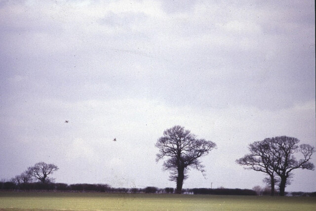
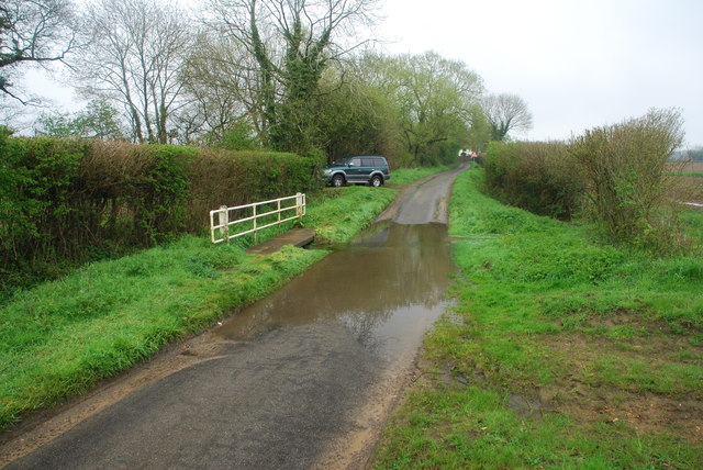
The village of Carleton Rode is known for its peaceful rural setting and picturesque countryside views. The landscape is dominated by farmland and open fields, providing a tranquil and idyllic atmosphere. The parish is surrounded by other small villages, including Bunwell, Wacton, and Tibenham.
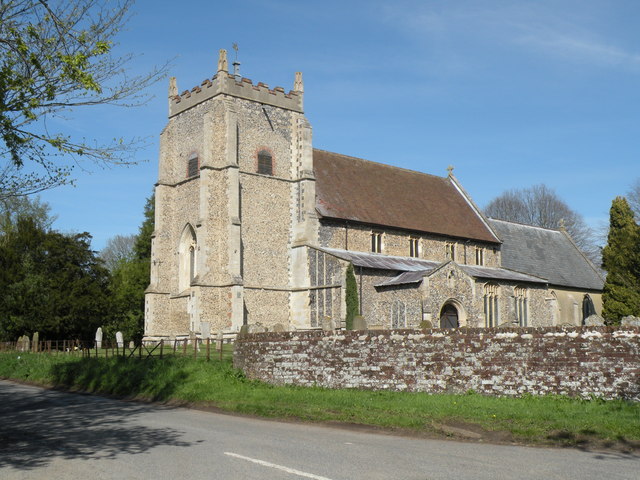
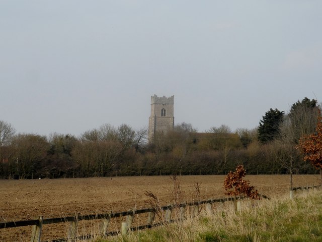
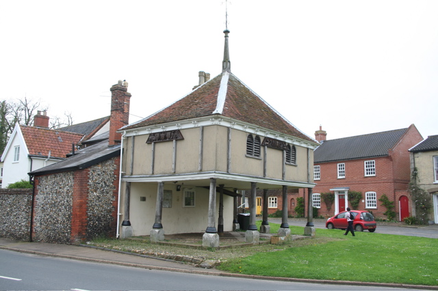
Carleton Rode boasts a rich history, with evidence of human habitation dating back to the Neolithic period. The village was mentioned in the Domesday Book of 1086 and has since retained its traditional character. The architecture of the village is a mix of historic and modern buildings, with the St Peter's Church being a notable landmark.
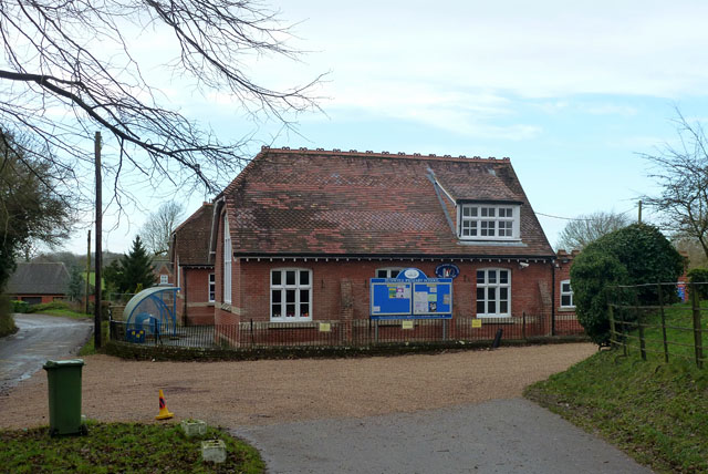
The parish offers a range of amenities and facilities for its residents, including a village hall, a primary school, and a local pub. The village hall hosts various community events and activities throughout the year, bringing the residents together.
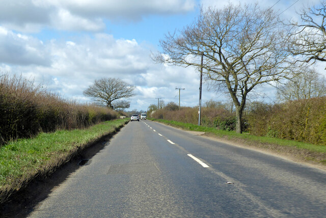
Carleton Rode is well-connected to nearby towns and cities via road links, making it an attractive location for those seeking a peaceful rural lifestyle while still having easy access to urban amenities. The surrounding countryside also provides opportunities for outdoor activities such as walking, cycling, and wildlife spotting.
If you have any feedback on the listing, please let us know in the comments section below.
Carleton Rode Images
Images are sourced within 2km of 52.489788/1.101216 or Grid Reference TM1092. Thanks to Geograph Open Source API. All images are credited.


Carleton Rode is located at Grid Ref: TM1092 (Lat: 52.489788, Lng: 1.101216)
Administrative County: Norfolk
District: South Norfolk
Police Authority: Norfolk
What 3 Words
///poker.sofa.outbursts. Near Banham, Norfolk
Nearby Locations
Related Wikis

Carleton Rode
Carleton Rode is a village and civil parish in Norfolk, England. It is situated approximately five miles south-east of Attleborough. In the 2011 Census...

Bunwell
Bunwell is a parish (population 1024) situated in the county of Norfolk, England, approximately 7 miles south-east of Attleborough. The parish includes...

New Buckenham Common
New Buckenham Common is a common of which 20.9 hectares (52 acres) is a biological Site of Special Scientific Interest, located in New Buckenham, Norfolk...
New Buckenham
New Buckenham is a village and civil parish in the English county of Norfolk. The parish covers an area of 1.73 km2 (0.67 sq mi) and had a population of...

Buckenham Castle
Old Buckenham Castle and Buckenham Castle are two castles adjacent respectively to the villages of Old Buckenham and New Buckenham, Norfolk, England....

Old Buckenham Airfield
Old Buckenham Airfield (ICAO: EGSV), formerly RAF Old Buckenham, is located 12 nautical miles (22 km; 14 mi) southwest of Norwich, East Anglia, England...

Old Buckenham Priory
Old Buckenham Priory was an Augustinian priory built on the site of Old Buckenham Castle at Old Buckenham in Norfolk, England. The priory was founded circa...
Old Buckenham High School
Old Buckenham High School is a co-educational secondary school located in Old Buckenham in the English county of Norfolk. == History == The school was...
Nearby Amenities
Located within 500m of 52.489788,1.101216Have you been to Carleton Rode?
Leave your review of Carleton Rode below (or comments, questions and feedback).