Buxton with Lammas
Civil Parish in Norfolk Broadland
England
Buxton with Lammas
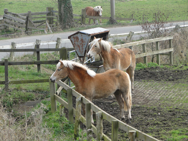
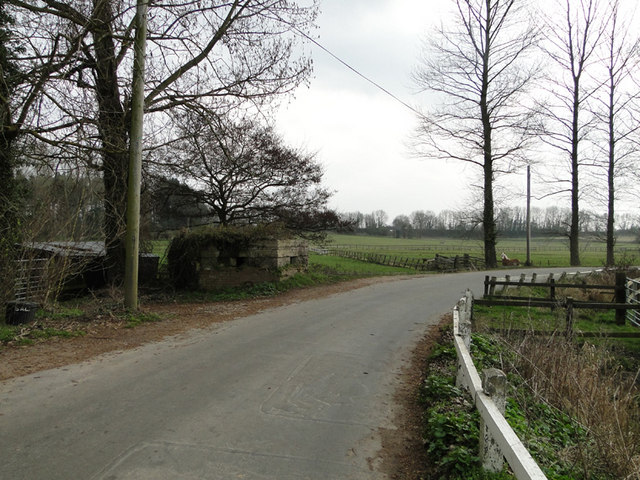
Buxton with Lammas is a civil parish located in the county of Norfolk, England. Situated approximately 10 miles north of the city of Norwich, the parish covers an area of around 6 square miles. Buxton with Lammas is a rural community that encompasses the villages of Buxton and Lammas.
The village of Buxton is known for its picturesque setting, surrounded by beautiful countryside and farmland. It has a small population of around 500 residents and offers a peaceful and idyllic atmosphere. The village features a range of traditional Norfolk cottages, many of which date back to the 18th and 19th centuries.
Lammas, on the other hand, is a smaller village within the parish with a population of around 100 residents. It is located just south of Buxton and is known for its charming rural character. The village is surrounded by agricultural land and offers a tranquil environment for its residents.
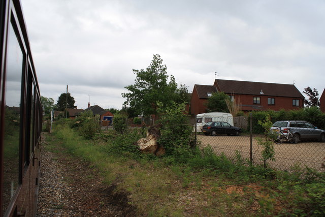
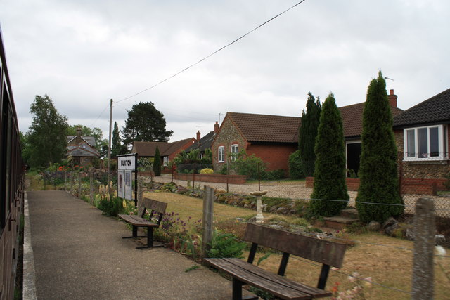
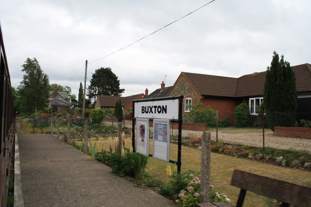
Both Buxton and Lammas have a strong sense of community, with various local events and activities organized throughout the year. The parish also has a primary school, providing education for the local children. Residents can enjoy the nearby Bure Valley Railway, a tourist attraction that offers scenic steam train rides through the Norfolk countryside.
Overall, Buxton with Lammas offers a peaceful and picturesque rural setting, making it an attractive place to live for those seeking a quiet and close-knit community.
If you have any feedback on the listing, please let us know in the comments section below.
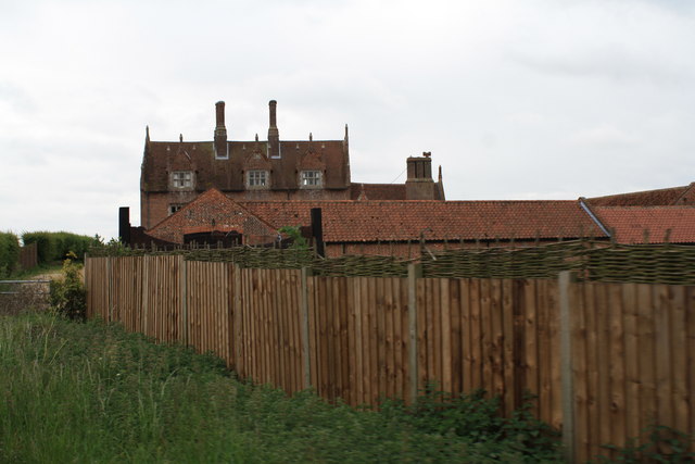
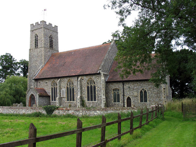
Buxton with Lammas Images
Images are sourced within 2km of 52.754501/1.316687 or Grid Reference TG2322. Thanks to Geograph Open Source API. All images are credited.


Buxton with Lammas is located at Grid Ref: TG2322 (Lat: 52.754501, Lng: 1.316687)
Administrative County: Norfolk
District: Broadland
Police Authority: Norfolk
What 3 Words
///pictures.ironic.solutions. Near Buxton, Norfolk
Nearby Locations
Related Wikis

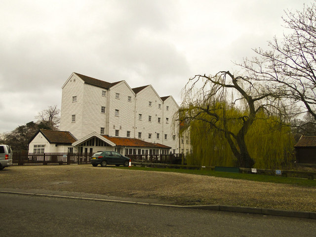
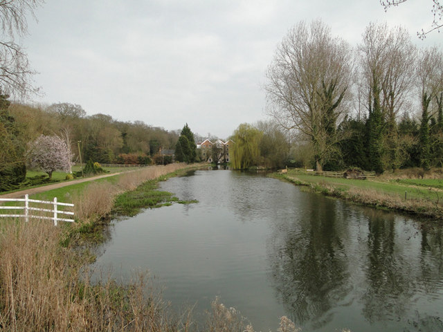
Buxton Watermill
Buxton Mill, is located on the River Bure about 0.5 miles (0.80 km) east of the village of Buxton, Norfolk, and is in the hamlet of Lamas, Norfolk. A watermill...

Buxton Lamas railway station
Buxton Lamas was a railway station in Buxton with Lamas, Norfolk. It was located near the Bure Valley Railway's present Buxton station. == References ==

Buxton railway station (Norfolk)
Buxton railway station serves the village of Buxton in Norfolk and is served by the Bure Valley Railway.

Buxton with Lamas
Buxton with Lamas is a civil parish in Broadland in the English county of Norfolk. It comprises the villages of Buxton lying to the west of the River Bure...

Bure Valley Path
The Bure Valley Path is a 9-mile (14 km) long walking trail and cycling trail in Norfolk, England. It runs alongside the Bure Valley Railway, a heritage...
Lamas, Norfolk
Lamas (also spelled Lammas) is a village in Broadland, Norfolk, England. Administratively it falls within the civil parish of Buxton with Lamas. The village...
Little Hautbois
Little Hautbois is a small hamlet in Broadland, England, part of the parish of Lamas. The name is pronounced 'Hobbis', and can be seen thus spelled on...

Buxton, Norfolk
Buxton is a village in the parish of Buxton with Lamas, in the Broadland district of the county of Norfolk, England. It is located between Norwich and...
Nearby Amenities
Located within 500m of 52.754501,1.316687Have you been to Buxton with Lammas?
Leave your review of Buxton with Lammas below (or comments, questions and feedback).