The Dell

Wood, Forest in Norfolk Broadland

England

The Dell

Buxton mill up for sale (March 2011)
Buxton mill up for sale (March 2011) Credit: Adrian S Pye

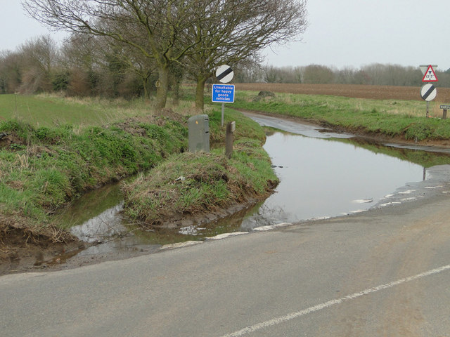
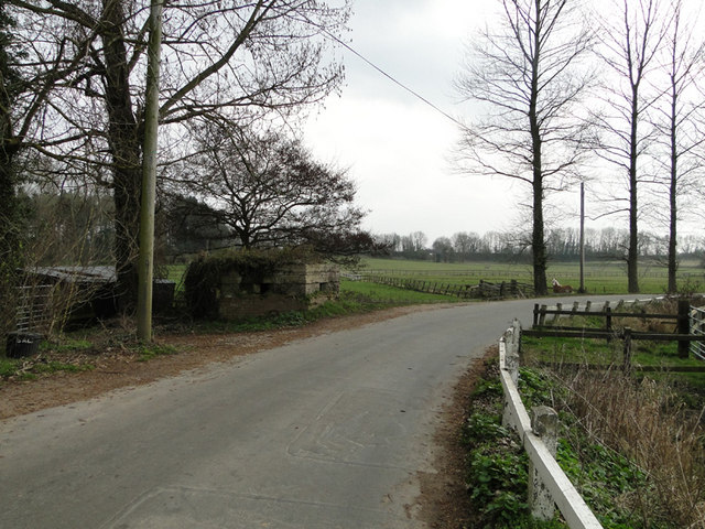
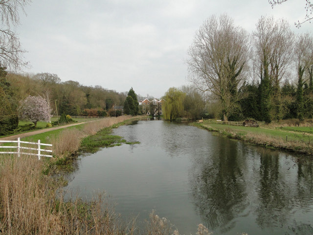
The Dell, Norfolk is a picturesque woodland area located in the county of Norfolk, England. Covering an expansive area, The Dell is known for its natural beauty and diverse ecosystem. The woodland is primarily composed of a mix of deciduous and coniferous trees, creating a lush and vibrant forest environment.

One of the standout features of The Dell is its impressive array of wildlife. The forest is home to a variety of species, including deer, foxes, and a wide range of birdlife. Visitors often have the opportunity to spot these creatures in their natural habitat as they explore the woodland trails.

The Dell offers a range of activities for visitors to enjoy. There are numerous walking trails that wind through the forest, providing the perfect opportunity for visitors to immerse themselves in nature. The woodland is also a popular spot for picnicking, with designated areas offering scenic views and peaceful surroundings.

In addition to its natural beauty, The Dell holds historical significance. The area is home to several ancient burial mounds, providing insight into the region's rich history and cultural heritage. Archaeological discoveries have revealed artifacts dating back thousands of years, offering a glimpse into the lives of the people who once inhabited the area.

Overall, The Dell, Norfolk is a stunning woodland area that offers a peaceful and immersive experience for nature enthusiasts and history buffs alike. With its diverse ecosystem, wildlife sightings, and historical significance, it is truly a hidden gem within the Norfolk county.

If you have any feedback on the listing, please let us know in the comments section below.

The Dell Images

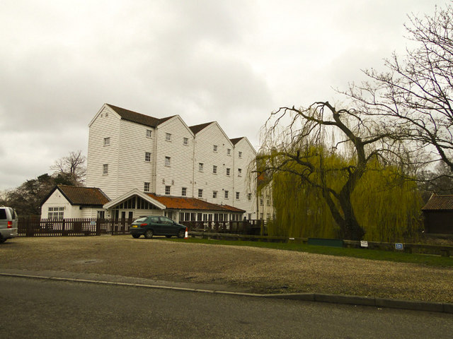
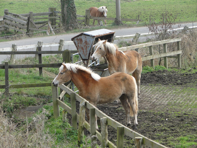
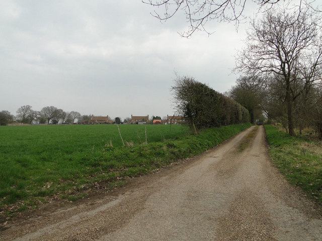
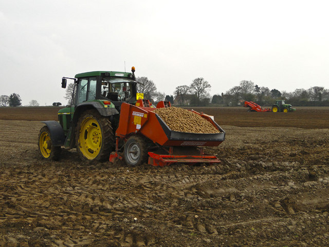
Images are sourced within 2km of 52.750231/1.3032309 or Grid Reference TG2322. Thanks to Geograph Open Source API. All images are credited.

Buxton mill up for sale (March 2011)
Taking up most of the road A tractor and cultivator on a narrow country lane just north of Stratton Strawless, Norfolk
Taking up most of the road
A tractor and cultivator on a narrow country lane just north of Stratton Strawless, Norfolk
Haflinger horses at King's Beck along the River Bure See more here > <a title="https://www.geograph.org.uk/photo/1127152" href="https://www.geograph.org.uk/photo/1127152">Link</a>
Haflinger horses at King's Beck along the River Bure
See more here > Link
Housing off Mill Road, Marsham
Potato planting at Oxnead The hopper on the tractor is full of potatoes ready for planting while the tractor in the background is putting a fine tilth on the soil and creating the rows.
Potato planting at Oxnead
The hopper on the tractor is full of potatoes ready for planting while the tractor in the background is putting a fine tilth on the soil and creating the rows.
Flooded road near Brampton station
Pillbox near King's Beck, Oxnead
River Bure at King's Beck, Oxnead.. ...with the watermill in the background.
River Bure at King's Beck, Oxnead..
...with the watermill in the background.
Approaching Buxton The approach to Buxton Station is seen from a Bure Valley Railway train heading towards Wroxham. On the left the footpath level crossing can just be made out. Adjacent to the station is a car park of railway users and walkers, with a housing estate beyond that.
Approaching Buxton
The approach to Buxton Station is seen from a Bure Valley Railway train heading towards Wroxham. On the left the footpath level crossing can just be made out. Adjacent to the station is a car park of railway users and walkers, with a housing estate beyond that.
Buxton Station Buxton Station is seen from a Bure Valley Railway train. A single platform serves trains heading in both directions. Just beyond the station can be glimpsed the buildings of the original Buxton station.
Buxton Station
Buxton Station is seen from a Bure Valley Railway train. A single platform serves trains heading in both directions. Just beyond the station can be glimpsed the buildings of the original Buxton station.
Buxton Station Buxton station has one platform, serving Bure Valley Railway trains heading in either direction. Just beyond the present station can be glimpsed one of the buildings remaining of the original Buxton station.
Buxton Station
Buxton station has one platform, serving Bure Valley Railway trains heading in either direction. Just beyond the present station can be glimpsed one of the buildings remaining of the original Buxton station.
Former station at Buxton This is the view from a Bure Valley Railway train of the former station buildings at Buxton, which are now in use as a private dwelling.
Former station at Buxton
This is the view from a Bure Valley Railway train of the former station buildings at Buxton, which are now in use as a private dwelling.
View across the Bure Valley This is a view across the Bure Valley from the Bure Valley Railway train, between Buxton and Coltishall.
View across the Bure Valley
This is a view across the Bure Valley from the Bure Valley Railway train, between Buxton and Coltishall.
View across the Bure Valley The Bure Valley is seen from a Bure Valley Railway train between Buxton and Coltishall.
View across the Bure Valley
The Bure Valley is seen from a Bure Valley Railway train between Buxton and Coltishall.
Bure Valley Railway warning sign This warning sign is at the beginning of a passing loop and is close to a level crossing connecting Fendyke Nursery with the marshes.
Bure Valley Railway warning sign
This warning sign is at the beginning of a passing loop and is close to a level crossing connecting Fendyke Nursery with the marshes.
Level Crossing near Fendyke Nursery This level crossing allows access across the Bure Valley Railway between Fendyke Nursery and the marshes. This is the view from a BVR train.
Level Crossing near Fendyke Nursery
This level crossing allows access across the Bure Valley Railway between Fendyke Nursery and the marshes. This is the view from a BVR train.
Bure Valley Railway passing loop This passing loop is close to Little Hautbois Hall.
Bure Valley Railway passing loop
This passing loop is close to Little Hautbois Hall.
Bure Valley Railway near Little Hautbois Hall The train from where this image was taken is on one of the tracks of a passing loop.
Bure Valley Railway near Little Hautbois Hall
The train from where this image was taken is on one of the tracks of a passing loop.
Show me another place!

The Dell is located at Grid Ref: TG2322 (Lat: 52.750231, Lng: 1.3032309)

Administrative County: Norfolk

District: Broadland

Police Authority: Norfolk

What 3 Words

///vowed.trend.ditched. Near Buxton, Norfolk

Related Wikis

Buxton, Norfolk

Buxton is a village in the parish of Buxton with Lamas, in the Broadland district of the county of Norfolk, England. It is located between Norwich and...

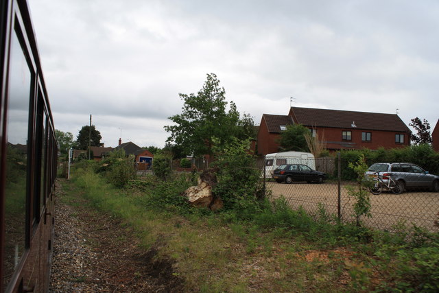
Buxton Lamas railway station

Buxton Lamas was a railway station in Buxton with Lamas, Norfolk. It was located near the Bure Valley Railway's present Buxton station. == References ==

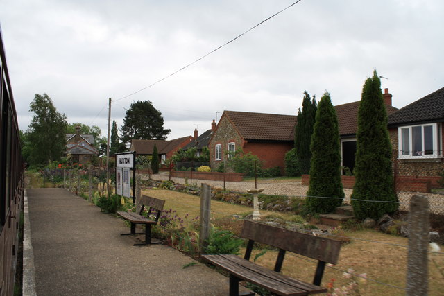
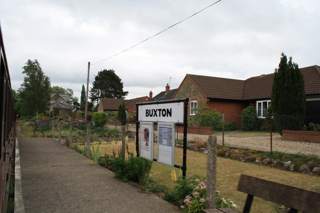
Buxton railway station (Norfolk)

Buxton railway station serves the village of Buxton in Norfolk and is served by the Bure Valley Railway.

Bure Valley Path

The Bure Valley Path is a 9-mile (14 km) long walking trail and cycling trail in Norfolk, England. It runs alongside the Bure Valley Railway, a heritage...

Nearby Amenities

Located within 500m of 52.750231,1.3032309
Barrier: cattle_grid
Foot: yes
Lat/Long: 52.75256/1.2990736
Bus Stop
Black Lion, opp
Bus: yes
Naptan AtcoCode: 2900B6710
Naptan Bearing: SW
Naptan BusStopType: CUS
Naptan CommonName: Black Lion
Naptan Indicator: opp
Naptan Landmark: public house
Naptan Locality: Buxton
Naptan NaptanCode: nfoagptj
Naptan ShortCommonName: Black Lion
Naptan Street: Crown Road
Naptan Verified: no
Public Transport: platform
Source: naptan_import
Lat/Long: 52.7528189/1.3005849
Bulwer Road, opp
Naptan AtcoCode: 2900B6714
Naptan Bearing: N
Naptan BusStopType: CUS
Naptan CommonName: Bulwer Road
Naptan Indicator: opp
Naptan Locality: Buxton
Naptan NaptanCode: nfogmtmj
Naptan Street: Brooke Street
Naptan Verified: no
Source: naptan_import
Lat/Long: 52.7514309/1.2999639
Bulwer Road, adj
Naptan AtcoCode: 2900B6715
Naptan Bearing: S
Naptan BusStopType: CUS
Naptan CommonName: Bulwer Road
Naptan Indicator: adj
Naptan Locality: Buxton
Naptan NaptanCode: nfogmwmw
Naptan Street: Brooke Street
Naptan Verified: no
Source: naptan_import
Lat/Long: 52.7513186/1.3004445
Bus Stop
Black Lion, adj
Bus: yes
Naptan AtcoCode: 2900B675
Naptan Bearing: NE
Naptan BusStopType: CUS
Naptan CommonName: Black Lion
Naptan Indicator: adj
Naptan Landmark: public house
Naptan Locality: Buxton
Naptan NaptanCode: nfoagpwg
Naptan ShortCommonName: Black Lion
Naptan Street: Crown Road
Naptan Verified: no
Public Transport: platform
Source: naptan_import
Lat/Long: 52.7527899/1.3001674
Give Way
Lat/Long: 52.7474869/1.3010801
Booth: K6
Removed Amenity: telephone
Lat/Long: 52.7522844/1.3000463
Give Way
Lat/Long: 52.7474393/1.3009793
Home Farm Cottage
Addr City: Buxton
Addr Housenumber: 52
Addr Street: Brook Street
Guest House: bed_and_breakfast
Rooms: 3
Tourism: guest_house
Lat/Long: 52.7486577/1.3008229
Give Way
Lat/Long: 52.75166/1.3010524
The data included in this document is from www.openstreetmap.org. The data is made available under ODbL.

Have you been to The Dell?

Leave your review of The Dell below (or comments, questions and feedback).