Buxted

Civil Parish in Sussex Wealden

England

Buxted

30 - slow down in Buxted Whoops! A bit too fast. It is easy to exceed the limit in this direction which is continuously downhill.
30 - slow down in Buxted Credit: Robin Webster

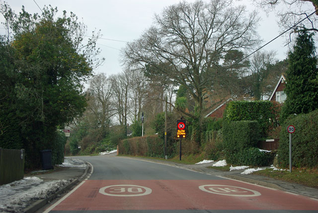
Buxted is a civil parish located in the Wealden district of East Sussex, England. Situated in the heart of the county, it is nestled within the High Weald Area of Outstanding Natural Beauty. The parish covers an area of approximately 17 square kilometers and is home to a population of around 3,000 residents.

Buxted is a quintessential English village with a rich historical heritage. The area has evidence of human habitation dating back to the Stone Age, and the village itself has a documented history that stretches back over a thousand years. The picturesque landscape is dotted with traditional timber-framed buildings, including the Grade I listed parish church of St. Margaret's, which dates back to the 12th century.

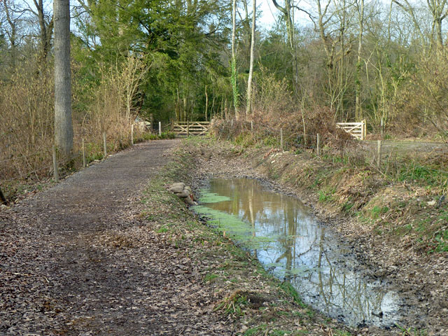
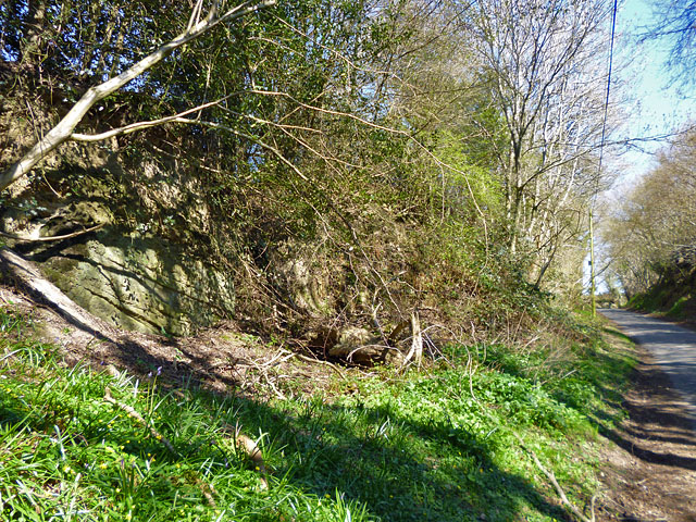
The village boasts a range of amenities and services for its residents. It has a primary school, a community hall, and a medical practice. There are also several shops, pubs, and restaurants that cater to the needs of both locals and visitors. The surrounding countryside offers ample opportunities for outdoor activities, including walking, cycling, and horse riding, with numerous footpaths and bridleways crisscrossing the area.

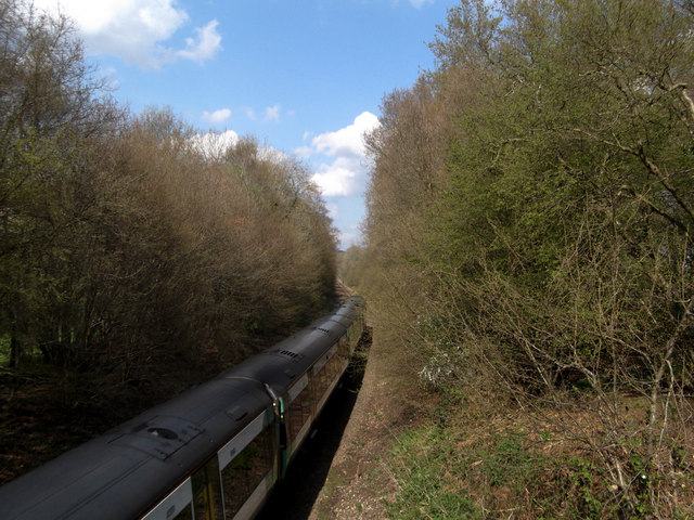
Buxted benefits from good transportation links, with a railway station that connects it to London and other major cities. The nearby towns of Uckfield and Crowborough provide additional amenities and services, including secondary schools and larger supermarkets.

Overall, Buxted is a charming and vibrant village that combines its historical charm with modern amenities, making it an attractive place to live or visit in the heart of Sussex.

If you have any feedback on the listing, please let us know in the comments section below.
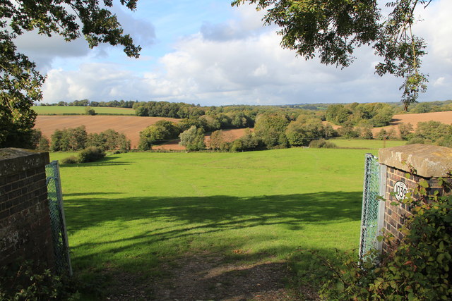
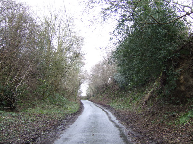
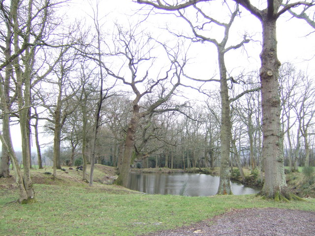
Buxted Images

Images are sourced within 2km of 51.006154/0.130422 or Grid Reference TQ4925. Thanks to Geograph Open Source API. All images are credited.

30 - slow down in Buxted Whoops! A bit too fast. It is easy to exceed the limit in this direction which is continuously downhill.
30 - slow down in Buxted
Whoops! A bit too fast. It is easy to exceed the limit in this direction which is continuously downhill.
Bridleway Buxted 36b A bridleway improved not so long ago, and consequently pleasant going. The wayside pond is a nice feature.
Bridleway Buxted 36b
A bridleway improved not so long ago, and consequently pleasant going. The wayside pond is a nice feature.
Rocky bank on Fowly Lane An Ardingly Sandstone exposure by the lane which passes though a sunken section on the hill up from a stream valley.
Rocky bank on Fowly Lane
An Ardingly Sandstone exposure by the lane which passes though a sunken section on the hill up from a stream valley.
Green field,Big cloud Looking uphill to the base of a growing cumulus cloud behind the horizon
Green field,Big cloud
Looking uphill to the base of a growing cumulus cloud behind the horizon
London Bound Looking from a pedestrian and agricultural bridge over the London-Uckfield line at the London bound train on its way.
London Bound
Looking from a pedestrian and agricultural bridge over the London-Uckfield line at the London bound train on its way.
Cloud form Cumulus cloud over a field in Wealden, East Sussex
Cloud form
Cumulus cloud over a field in Wealden, East Sussex
Railway Viaduct , Uckfield Line This is on a slight curve, with this view of the convex side.
Railway Viaduct , Uckfield Line
This is on a slight curve, with this view of the convex side.
Rail Tunnel at Stones Rough This is where the Vanguard Way footpath crosses under the railway near Buxted
Rail Tunnel at Stones Rough
This is where the Vanguard Way footpath crosses under the railway near Buxted
Footbridge over River Uck Part of the Vanguard Way.  The Oak in the centre of the picture is hiding a pillbox.
Footbridge over River Uck
Part of the Vanguard Way. The Oak in the centre of the picture is hiding a pillbox.
View from rail bridge near Buxted Another version of previously published photographs looking northwest with the rail bridge walls in the foreground.
View from rail bridge near Buxted
Another version of previously published photographs looking northwest with the rail bridge walls in the foreground.
Fowly Lane This deeply banked section of the lane is the only stretch within the gridsquare.
Fowly Lane
This deeply banked section of the lane is the only stretch within the gridsquare.
Pond off Fowly Lane This isn't a hammer pond. Hammer ponds were constructed on streams and dammed in order to provide power at all times; this one doesn't have streams connected to them making them useless for operating the wheels that powered the blast furnaces. The most likely scenario is that both were dug to get something out of the ground, either marl to fertilise nearby fields or to dig up any stray bits of sandstone that lie in the area in order to build something with. They are also next to a highway which would have enabled easy transportation to either fields or nearby settlements. 
Description thanks to another member.
Pond off Fowly Lane
This isn't a hammer pond. Hammer ponds were constructed on streams and dammed in order to provide power at all times; this one doesn't have streams connected to them making them useless for operating the wheels that powered the blast furnaces. The most likely scenario is that both were dug to get something out of the ground, either marl to fertilise nearby fields or to dig up any stray bits of sandstone that lie in the area in order to build something with. They are also next to a highway which would have enabled easy transportation to either fields or nearby settlements. Description thanks to another member.
Fowly Lane Just beyond Kiln Farm, about to go downhill.
Fowly Lane
Just beyond Kiln Farm, about to go downhill.
Buxted Wood Lane This lane leads north to Howbourne Farm.
Buxted Wood Lane
This lane leads north to Howbourne Farm.
Road to Greenhurst Farm Off Fowly Lane
Road to Greenhurst Farm
Off Fowly Lane
Pond and house in the Weald This isn't a hammer pond. Hammer ponds were constructed on streams and dammed in order to provide power at all times; this one doesn't have streams connected to them making them useless for operating the wheels that powered the blast furnaces. The most likely scenario is that both were dug to get something out of the ground, either marl to fertilise nearby fields or to dig up any stray bits of sandstone that lie in the area in order to build something with. They are also next to a highway which would have enabled easy transportation to either fields or nearby settlements. 
Description thanks to another member.
Pond and house in the Weald
This isn't a hammer pond. Hammer ponds were constructed on streams and dammed in order to provide power at all times; this one doesn't have streams connected to them making them useless for operating the wheels that powered the blast furnaces. The most likely scenario is that both were dug to get something out of the ground, either marl to fertilise nearby fields or to dig up any stray bits of sandstone that lie in the area in order to build something with. They are also next to a highway which would have enabled easy transportation to either fields or nearby settlements. Description thanks to another member.
Viaduct over the upper Uck valley.
Electric stile The electric fence is carried across the stile in a blue insulating sleeve on the valley footpath towards Howbourne Farm.
Electric stile
The electric fence is carried across the stile in a blue insulating sleeve on the valley footpath towards Howbourne Farm.
Show me another place!

Buxted is located at Grid Ref: TQ4925 (Lat: 51.006154, Lng: 0.130422)

Administrative County: East Sussex

District: Wealden

Police Authority: Sussex

What 3 Words

///shifters.marginal.agree. Near Buxted, East Sussex

Related Wikis

High Hurstwood

High Hurstwood is a village in the Wealden district of East Sussex. == External links == High Hurstwood village history Holy Trinity Church, High Hurstwood...

Richard Hill (RAF officer)

Lieutenant Richard Frank Hill (28 April 1899 – 17 September 1918) was a British World War I flying ace credited with seven aerial victories. == Biography... ==

Five Ash Down

Five Ash Down is a small village within the civil parish of Buxted, in the Wealden district of East Sussex, England. Its nearest town is Uckfield, which...

Buxted

Buxted is a village and civil parish in the Wealden district of East Sussex in England. The parish is situated on the Weald, north of Uckfield; the settlements...

Buxted railway station

Buxted railway station is on the Uckfield branch of the Oxted Line in England, serving the village of Buxted, East Sussex. It is 43 miles 68 chains (70...

Buxted Park

Buxted Park is an 84.7 hectare (206.16 acre) biological Site of Special Scientific Interest, located near the village of Buxted, East Sussex, England....

Heron's Ghyll

Heron's Ghyll is a hamlet in the Wealden district of East Sussex. St John the Evangelist Church is a Catholic church in the village. There is a late 19th...

St John the Evangelist Church, Heron's Ghyll

St John's Church or St John the Evangelist Church is a Roman Catholic Parish Church in the Heron's Ghyll settlement of Buxted, East Sussex, England. It...

Nearby Amenities

Located within 500m of 51.006154,0.130422
Barrier: stile
Lat/Long: 51.0078464/0.1300178
Barrier: stile
Lat/Long: 51.0071384/0.1307237
Post Box
Post Box Type: lamp
Ref: TN22 53D
Royal Cypher: EIIR
Royal Cypher Wikidata: Q33102113
Lat/Long: 51.005747/0.1279253
College Farm
Place: farm
Lat/Long: 51.0045767/0.1359616
Barrier: stile
Lat/Long: 51.0062812/0.1321204
Barrier: stile
Lat/Long: 51.0056447/0.1328939
Colour: yellow
Marker: post
Material: concrete
Utility: gas
Lat/Long: 51.0096102/0.1291453
The data included in this document is from www.openstreetmap.org. The data is made available under ODbL.

Have you been to Buxted?

Leave your review of Buxted below (or comments, questions and feedback).