Bury
Civil Parish in Huntingdonshire Huntingdonshire
England
Bury
Bury is a civil parish located in the district of Huntingdonshire in Cambridgeshire, England. Situated approximately 6 miles west of the town of Ramsey and 9 miles north of the town of Huntingdon, Bury covers an area of around 3 square miles.
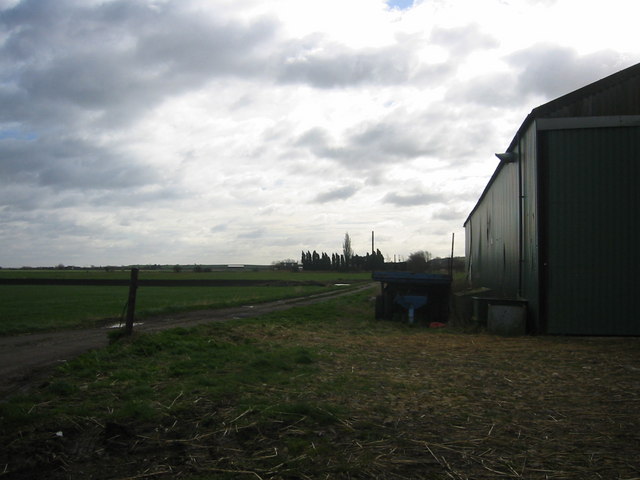
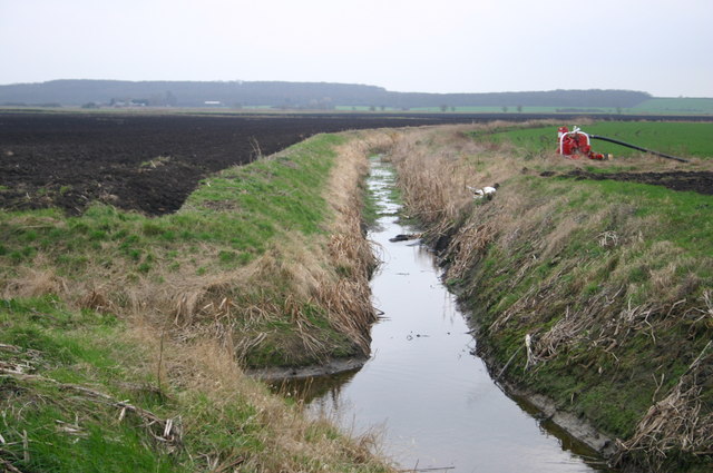
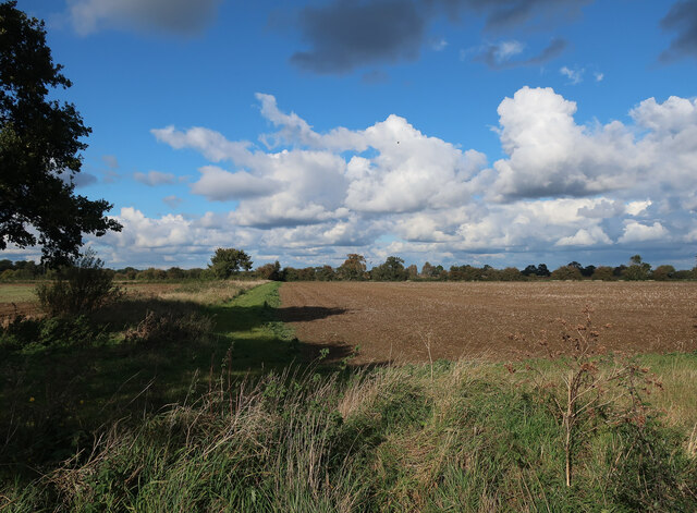
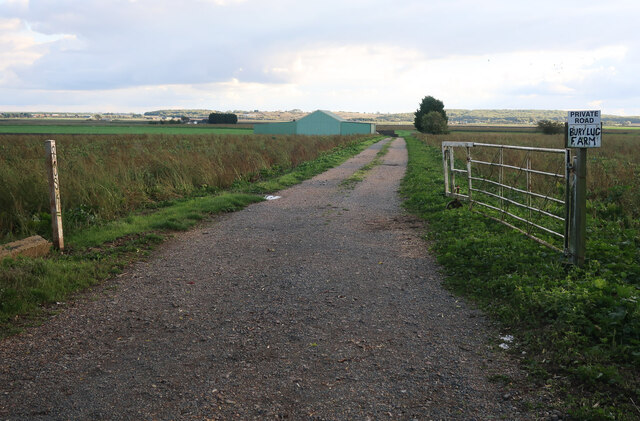
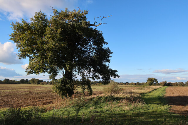
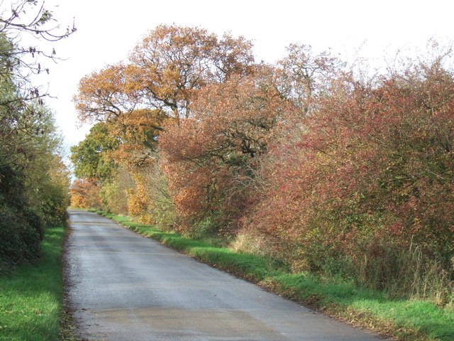
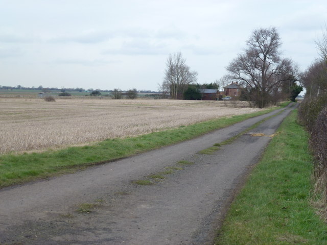
The parish is predominantly rural, with a population of around 200 residents. It is surrounded by picturesque countryside and offers a peaceful and tranquil environment for its residents. The landscape is characterized by open fields, farmland, and small woodlands, making it an ideal location for nature enthusiasts and walkers.
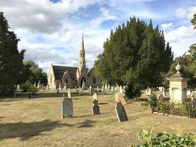
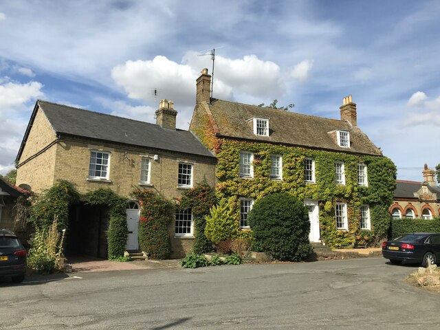
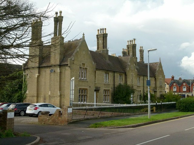
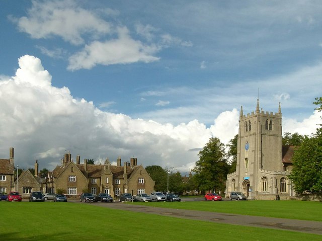
The village itself consists of a small cluster of houses and cottages, along with a few local amenities. These include a parish church, St. John the Baptist, which dates back to the 12th century and is a Grade II listed building. The church serves as a focal point for the community and hosts regular services and events.
Bury is well-connected to neighboring towns and villages through a network of roads, making it easily accessible by car. Public transportation options are limited, with the nearest railway station located in Huntingdon.
Overall, Bury offers a peaceful and idyllic setting for those seeking a rural lifestyle. Its close-knit community and beautiful natural surroundings make it an attractive place to live for those looking to escape the hustle and bustle of city life.
If you have any feedback on the listing, please let us know in the comments section below.
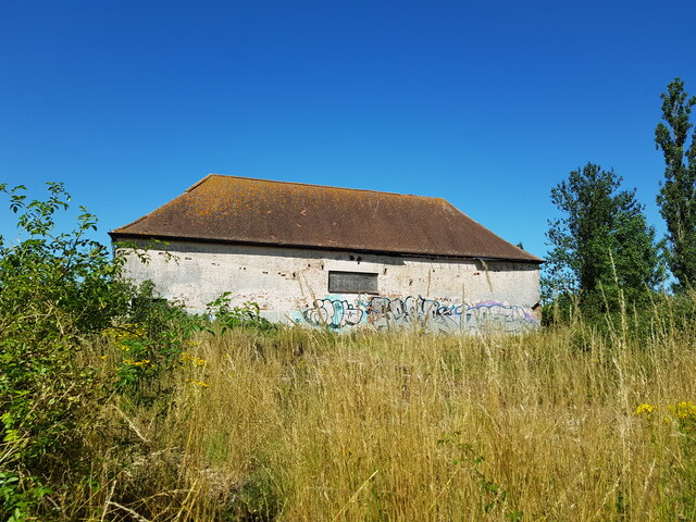
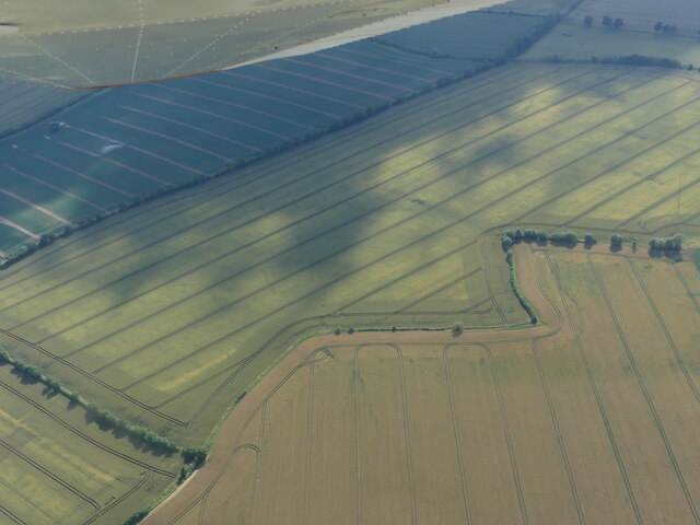
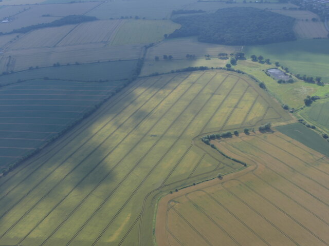
Bury Images
Images are sourced within 2km of 52.434658/-0.103249 or Grid Reference TL2983. Thanks to Geograph Open Source API. All images are credited.
Bury is located at Grid Ref: TL2983 (Lat: 52.434658, Lng: -0.103249)
Administrative County: Cambridgeshire
District: Huntingdonshire
Police Authority: Cambridgeshire
What 3 Words
///loaded.proofread.captions. Near Ramsey, Cambridgeshire
Nearby Locations
Related Wikis

Bury, Cambridgeshire
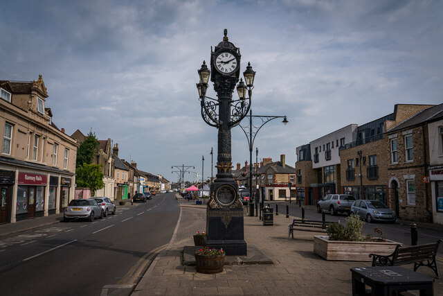
Bury is a village and civil parish in Cambridgeshire, England. Bury lies approximately 7 miles (11 km) north/north east of Huntingdon and is near to Ramsey...
Ramsey East railway station
Ramsey East railway station was a railway station in Ramsey, Cambridgeshire, which is now closed. It opened on 16 September 1889, and closed to passenger...

Abbey College, Ramsey
Abbey College is a secondary school located in Ramsey, Cambridgeshire, England. The school is around 10 miles from Huntingdon and Peterborough and offers...
Ramsey Town F.C.
Ramsey Town Football Club is a football club based in Ramsey, Cambridgeshire, England. They are currently members of the Peterborough & District League...

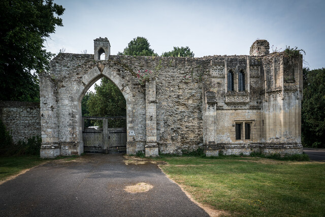
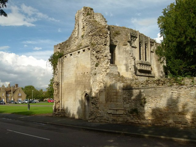
Ramsey Abbey Gatehouse
Ramsey Abbey Gatehouse was the gatehouse to the Benedictine Ramsey Abbey in Ramsey, Huntingdonshire (now part of Cambridgeshire), England. The gatehouse...
Ramsey Abbey
Ramsey Abbey was a Benedictine abbey in Ramsey, Huntingdonshire (now part of Cambridgeshire), England. It was founded about AD 969 and dissolved in 1539...

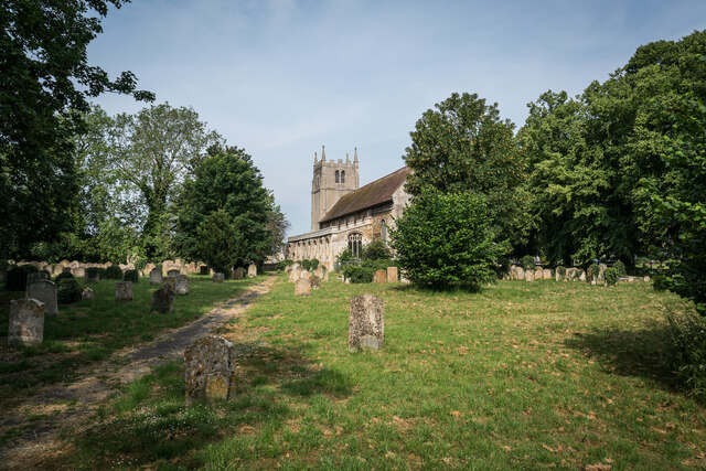
Church of St Thomas à Becket, Ramsey
The Church of St Thomas à Becket, Ramsey is the Church of England parish church of Ramsey, Cambridgeshire (formerly Huntingdonshire). The parish is part...
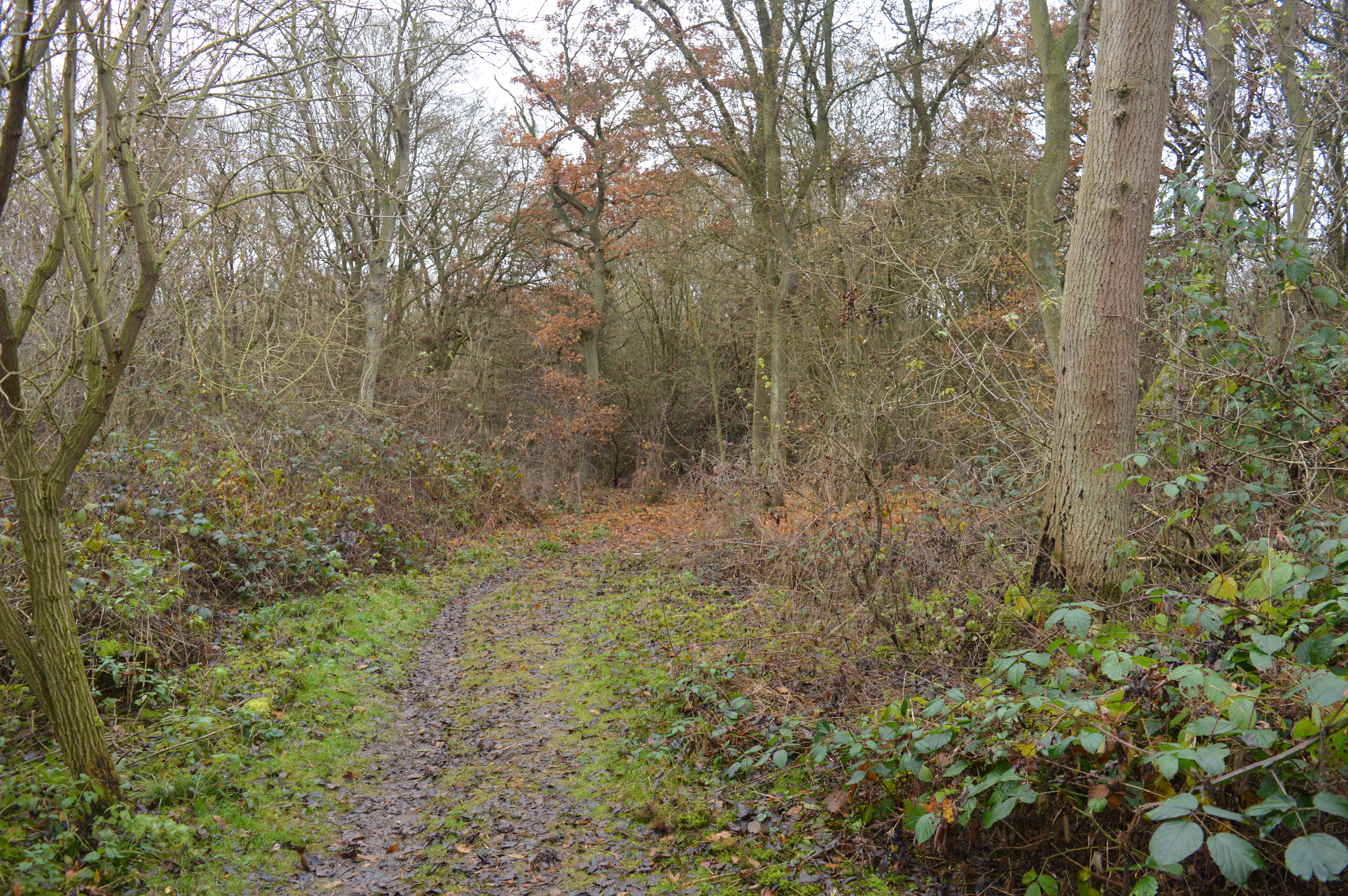
Warboys and Wistow Woods
Warboys and Wistow Woods is a 44.5-hectare (110-acre) biological Site of Special Scientific Interest north of Warboys and west of Wistow in Cambridgeshire...
Nearby Amenities
Located within 500m of 52.434658,-0.103249Have you been to Bury?
Leave your review of Bury below (or comments, questions and feedback).