Jack's Corner Spinney

Wood, Forest in Huntingdonshire Huntingdonshire

England

Jack's Corner Spinney

Old Milestone by the B1040, Ramsey Road, Warboys parish Carved stone post by the B1040, in parish of WARBOYS (HUNTINGDONSHIRE District), Ramsey Road, by Hill View, near Toll Farm, opposite road to Wistow, on grass verge, on East side of road. St Ives capital stone, erected by the Shelton Lane, Bury & Stratton turnpike trust in the 19th century.

Inscription reads:-
: SAINT / IVES / 7 / MILES : : WARBOYS : : RAMSEY / 2 / MILES : 
Rivet on top.

Grade II listed. 
List Entry Number: 1128365 <span class="nowrap"><a title="https://historicengland.org.uk/listing/the-list/list-entry/1128365" rel="nofollow ugc noopener" href="https://historicengland.org.uk/listing/the-list/list-entry/1128365">Link</a><img style="margin-left:2px;" alt="External link" title="External link - shift click to open in new window" src="https://s1.geograph.org.uk/img/external.png" width="10" height="10"/></span>

Milestone Society National ID: HU_SIRM07.
Old Milestone by the B1040, Ramsey Road, Warboys parish Credit: MW Hallett

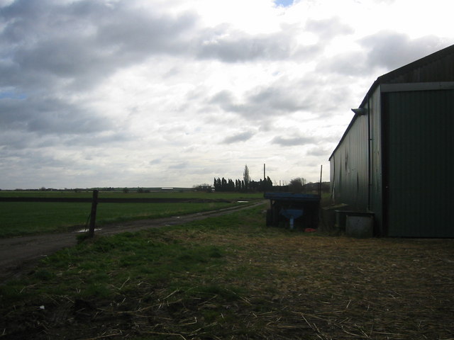
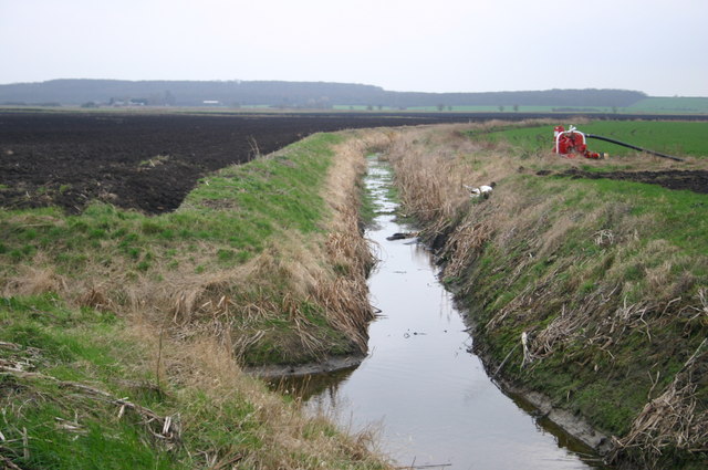
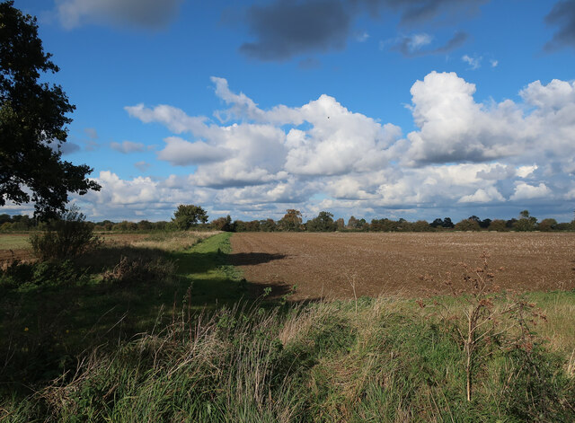
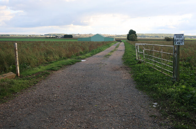
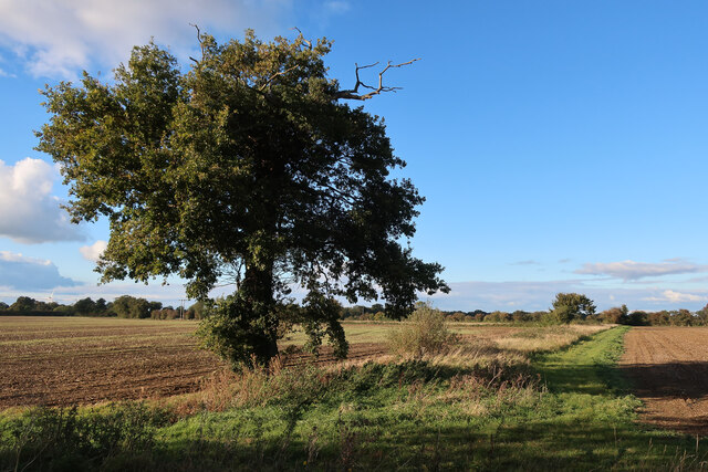
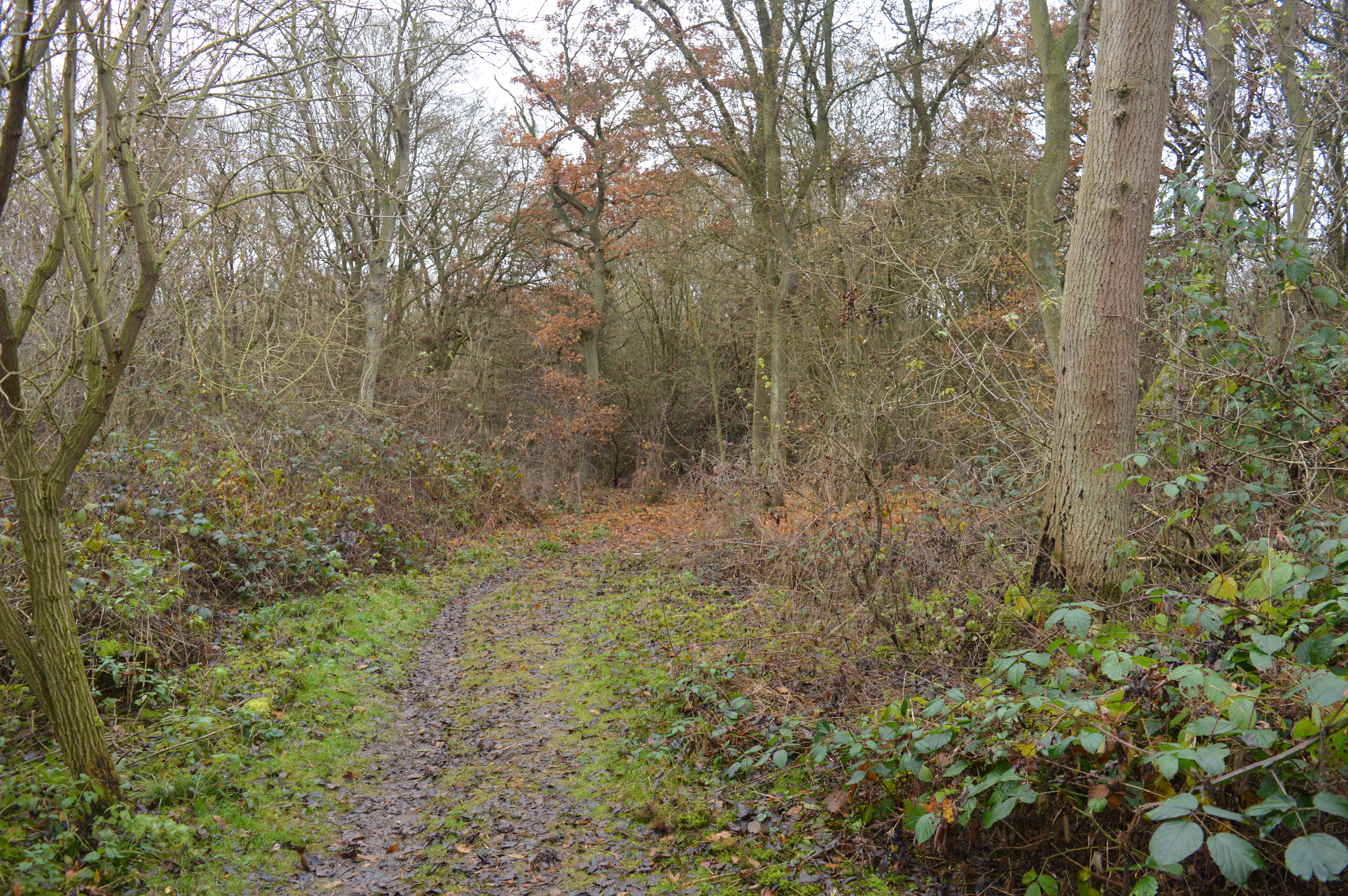
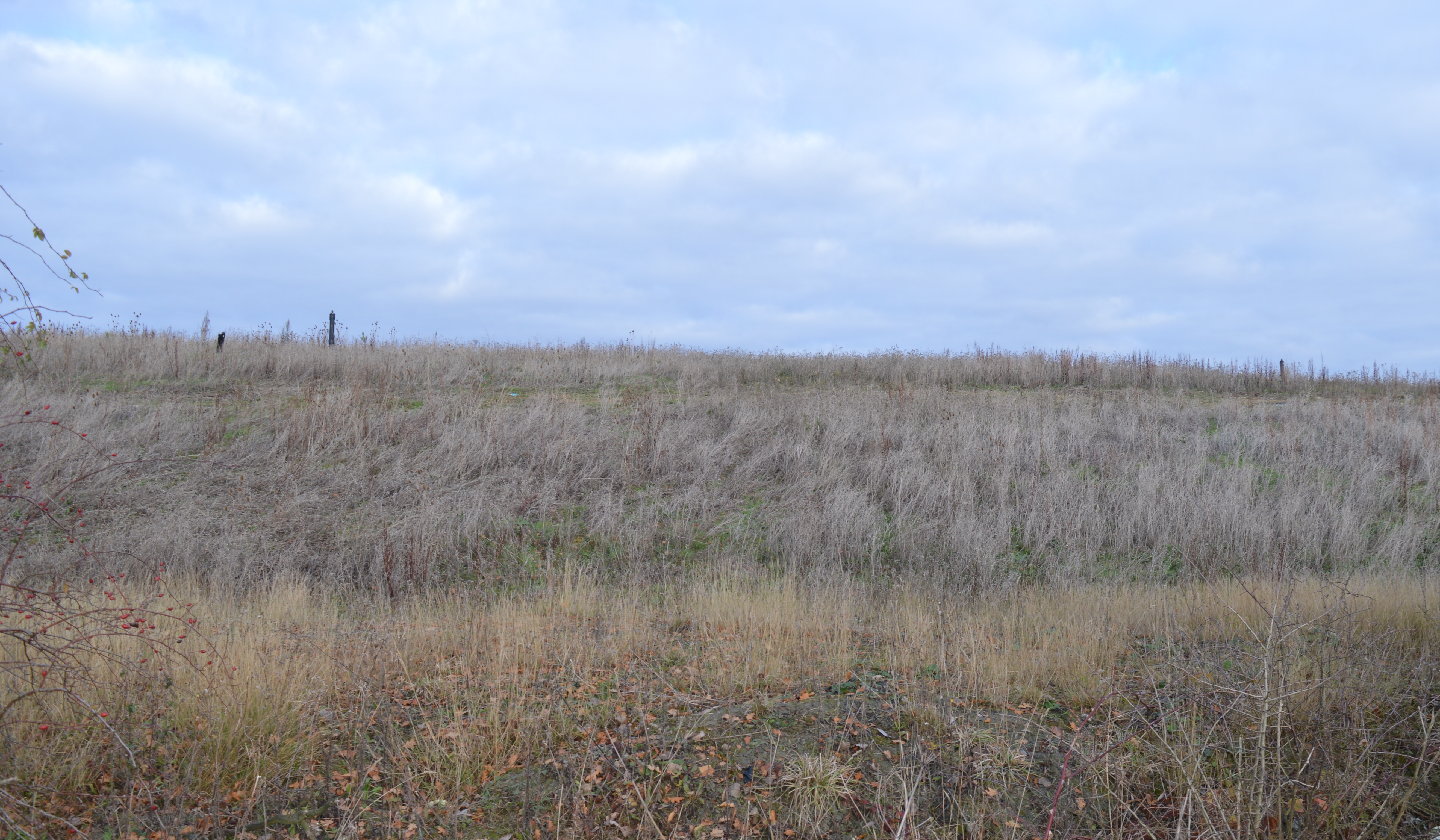
Jack's Corner Spinney is a small woodland area located in Huntingdonshire, England. Situated on the outskirts of the town, it serves as a peaceful retreat for nature enthusiasts and locals alike. The spinney covers an area of approximately 5 acres and is characterized by its dense woodland and diverse wildlife.

The woods are predominantly composed of deciduous trees, including oak, ash, and birch, which provide a picturesque canopy during the warmer months. The forest floor is covered in a thick layer of leaf litter, creating a natural habitat for a variety of small mammals, insects, and fungi.

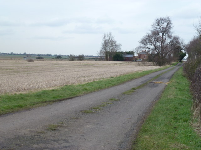
The spinney is crisscrossed by a network of winding footpaths, allowing visitors to explore its hidden corners and discover its natural beauty. These paths are well-maintained and clearly marked, ensuring a safe and enjoyable experience for all. Additionally, benches and picnic tables are scattered throughout the woodland, providing resting spots for visitors to take in the tranquil surroundings.

Birdwatchers will find plenty to see in Jack's Corner Spinney, as it is home to a diverse range of avian species. Common sightings include robins, blackbirds, and blue tits, as well as more elusive species such as woodpeckers and owls.

Overall, Jack's Corner Spinney offers a peaceful and idyllic woodland experience for visitors of all ages. Whether you're seeking a leisurely stroll, a spot of birdwatching, or simply a moment of tranquility in nature, this charming spinney is sure to deliver.

If you have any feedback on the listing, please let us know in the comments section below.

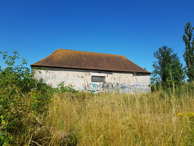
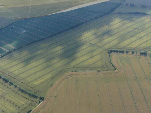
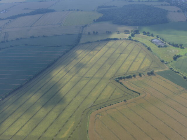
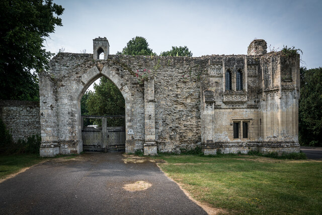
Jack's Corner Spinney Images

Images are sourced within 2km of 52.430587/-0.10123018 or Grid Reference TL2983. Thanks to Geograph Open Source API. All images are credited.

Old Milestone by the B1040, Ramsey Road, Warboys parish Carved stone post by the B1040, in parish of WARBOYS (HUNTINGDONSHIRE District), Ramsey Road, by Hill View, near Toll Farm, opposite road to Wistow, on grass verge, on East side of road. St Ives capital stone, erected by the Shelton Lane, Bury & Stratton turnpike trust in the 19th century.

Inscription reads:-
: SAINT / IVES / 7 / MILES : : WARBOYS : : RAMSEY / 2 / MILES : 
Rivet on top.

Grade II listed. 
List Entry Number: 1128365 <span class="nowrap"><a title="https://historicengland.org.uk/listing/the-list/list-entry/1128365" rel="nofollow ugc noopener" href="https://historicengland.org.uk/listing/the-list/list-entry/1128365">Link</a><img style="margin-left:2px;" alt="External link" title="External link - shift click to open in new window" src="https://s1.geograph.org.uk/img/external.png" width="10" height="10"/></span>

Milestone Society National ID: HU_SIRM07.
Old Milestone by the B1040, Ramsey Road, Warboys parish
Carved stone post by the B1040, in parish of WARBOYS (HUNTINGDONSHIRE District), Ramsey Road, by Hill View, near Toll Farm, opposite road to Wistow, on grass verge, on East side of road. St Ives capital stone, erected by the Shelton Lane, Bury & Stratton turnpike trust in the 19th century. Inscription reads:- : SAINT / IVES / 7 / MILES : : WARBOYS : : RAMSEY / 2 / MILES : Rivet on top. Grade II listed. List Entry Number: 1128365 LinkExternal link Milestone Society National ID: HU_SIRM07.
Barn on Shillow Hill Near Bury
Cropmark on field south of Ramsey: aerial 2021 (1)
Cropmark on field south of Ramsey: aerial 2021 (2)
Ramsey Abbey Gatehouse Ramsey Abbey Gatehouse was the gatehouse to the Benedictine Ramsey Abbey in Ramsey. The gatehouse is Perpendicular Gothic and was built late in the 15th century.

In 1537 the abbey was dissolved and the Crown granted its buildings and site to Richard Williams (alias Cromwell), who used most of the buildings as a surface quarry for the Barnack stone. He had part of the gatehouse (believed to be the outer gatehouse) dismantled, moved to Hinchingbrooke House and rebuilt as its gatehouse there. The remainder of the gatehouse survives as a ruin at Ramsey and is Grade I Listed.


<span class="nowrap"><a title="https://en.wikipedia.org/wiki/Ramsey_Abbey_Gatehouse" rel="nofollow ugc noopener" href="https://en.wikipedia.org/wiki/Ramsey_Abbey_Gatehouse">Link</a><img style="margin-left:2px;" alt="External link" title="External link - shift click to open in new window" src="https://s1.geograph.org.uk/img/external.png" width="10" height="10"/></span>
Ramsey Abbey Gatehouse
Ramsey Abbey Gatehouse was the gatehouse to the Benedictine Ramsey Abbey in Ramsey. The gatehouse is Perpendicular Gothic and was built late in the 15th century. In 1537 the abbey was dissolved and the Crown granted its buildings and site to Richard Williams (alias Cromwell), who used most of the buildings as a surface quarry for the Barnack stone. He had part of the gatehouse (believed to be the outer gatehouse) dismantled, moved to Hinchingbrooke House and rebuilt as its gatehouse there. The remainder of the gatehouse survives as a ruin at Ramsey and is Grade I Listed. LinkExternal link
Fields and farm buildings near Warboys
Crooked Drain Crooked Drain South of Long Drove
Crooked Drain
Crooked Drain South of Long Drove
Field by Hollow Lane
Track to Bury Lug Farm
Fields by Hollow Lane
Looking towards Dorrington's Farm At the end of Wistow Fen Lane between Ramsey and warboys
Looking towards Dorrington's Farm
At the end of Wistow Fen Lane between Ramsey and warboys
Abbey Gatehouse, Ramsey A fine example of late 15th century work, testifying to the wealth of the Abbey. The actual gateway was where the current roadway is. Now a National Trust property. Listed Grade I.
Abbey Gatehouse, Ramsey
A fine example of late 15th century work, testifying to the wealth of the Abbey. The actual gateway was where the current roadway is. Now a National Trust property. Listed Grade I.
Abbey Gatehouse, Ramsey, detail This window facing into the former Abbey precinct shows the quality of work applied to the building.
Abbey Gatehouse, Ramsey, detail
This window facing into the former Abbey precinct shows the quality of work applied to the building.
George Hotel, High Street The inn dates back to the late 17th century, although the façade with its imitation masonry render is 19th century. Listed Grade II.
George Hotel, High Street
The inn dates back to the late 17th century, although the façade with its imitation masonry render is 19th century. Listed Grade II.
Salem Baptist Church Strict Baptist chapel, erected 1857. An imposing façade with its pedimented gable and the arched recessed vestibules. Listed Grade II.
Salem Baptist Church
Strict Baptist chapel, erected 1857. An imposing façade with its pedimented gable and the arched recessed vestibules. Listed Grade II.
Former Lion Hotel Built 1731 with the nearer part of the building added in the 19th century. No longer in use as a hotel. Listed Grade II.
Former Lion Hotel
Built 1731 with the nearer part of the building added in the 19th century. No longer in use as a hotel. Listed Grade II.
Ramsey Abbey gatehouse The arch is not the original entrance into the Abbey precinct. This was to the right of the currently existing structure, and most of the actual gatehouse is missing. The gatehouse is Listed Grade I and is a National Trust property.
Ramsey Abbey gatehouse
The arch is not the original entrance into the Abbey precinct. This was to the right of the currently existing structure, and most of the actual gatehouse is missing. The gatehouse is Listed Grade I and is a National Trust property.
High Street, Ramsey, Cambridgeshire
Show me another place!

Jack's Corner Spinney is located at Grid Ref: TL2983 (Lat: 52.430587, Lng: -0.10123018)

Administrative County: Cambridgeshire

District: Huntingdonshire

Police Authority: Cambridgeshire

What 3 Words

///sock.recipient.waking. Near Ramsey, Cambridgeshire

Related Wikis

Bury, Cambridgeshire

Bury is a village and civil parish in Cambridgeshire, England. Bury lies approximately 7 miles (11 km) north/north east of Huntingdon and is near to Ramsey...

Warboys and Wistow Woods

Warboys and Wistow Woods is a 44.5-hectare (110-acre) biological Site of Special Scientific Interest north of Warboys and west of Wistow in Cambridgeshire...

Wistow, Cambridgeshire

Wistow is a village and civil parish in Cambridgeshire, England. Wistow lies approximately 6 miles (10 km) north-east of Huntingdon, near Warboys. Wistow...

Ramsey East railway station

Ramsey East railway station was a railway station in Ramsey, Cambridgeshire, which is now closed. It opened on 16 September 1889, and closed to passenger...

Abbey College, Ramsey

Abbey College is a secondary school located in Ramsey, Cambridgeshire, England. The school is around 10 miles from Huntingdon and Peterborough and offers...

Warboys Clay Pit

Warboys Clay Pit is a 12.6-hectare (31-acre) geological Site of Special Scientific Interest west of Warboys in Cambridgeshire. It is a Geological Conservation...

Ramsey Abbey

Ramsey Abbey was a Benedictine abbey in Ramsey, Huntingdonshire (now part of Cambridgeshire), England. It was founded about AD 969 and dissolved in 1539...

Ramsey Town F.C.

Ramsey Town Football Club is a football club based in Ramsey, Cambridgeshire, England. They are currently members of the Peterborough & District League...

Nearby Amenities

Located within 500m of 52.430587,-0.10123018
Post Box
Ref: PE26 204
Lat/Long: 52.4295243/-0.1042148
Manor Farm, Bury
Landuse: farmland
Note Retag: CS #48756035
Shop: agrarian
Lat/Long: 52.4295262/-0.1043756
Milestone
Note: St Ives 8 miles, Ramsey ??, others indistinct tba
Lat/Long: 52.4303364/-0.1040246
Power: pole
Lat/Long: 52.4313942/-0.1030934
Power: pole
Lat/Long: 52.4334106/-0.1024175
Power: pole
Lat/Long: 52.4309493/-0.1060197
Power: pole
Lat/Long: 52.4310589/-0.1074789
Power: pole
Lat/Long: 52.4341743/-0.1021332
Power: pole
Lat/Long: 52.4309085/-0.1032646
Power: pole
Lat/Long: 52.431978/-0.1028896
Power: pole
Lat/Long: 52.4308316/-0.1044533
Power: pole
Lat/Long: 52.4347989/-0.1020017
Power: pole
Lat/Long: 52.4325815/-0.1026562
Power: pole
Lat/Long: 52.427119/-0.1039274
Power: pole
Lat/Long: 52.4265678/-0.1041205
Power: pole
Lat/Long: 52.4308823/-0.103403
Power: pole
Lat/Long: 52.4278157/-0.1038818
Power: pole
Lat/Long: 52.4292304/-0.1038215
Power: pole
Lat/Long: 52.4285157/-0.1038577
Power: pole
Lat/Long: 52.4300105/-0.1035734
Place: farm
Lat/Long: 52.4337794/-0.1034351
Bury Saw Mill
Craft: sawmill
Phone: +44 7925 919274
Lat/Long: 52.4309622/-0.1023771
The data included in this document is from www.openstreetmap.org. The data is made available under ODbL.

Have you been to Jack's Corner Spinney?

Leave your review of Jack's Corner Spinney below (or comments, questions and feedback).