Bury

Civil Parish in Sussex Chichester

England

Bury

View WNW towards Glatting Beacon You can see the communications masts on Glatting Beacon. I took this photo from the South Downs Way.
View WNW towards Glatting Beacon Credit: Ian Cunliffe

Bury is a civil parish located in the county of Sussex, in the southern part of England. It is situated in the district of Arun, approximately 6 miles northwest of the town of Arundel. The parish covers an area of around 5 square miles and is home to a population of approximately 500 residents.

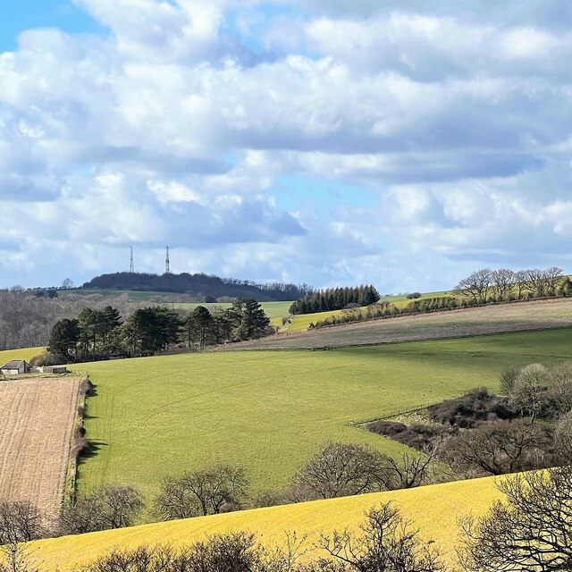
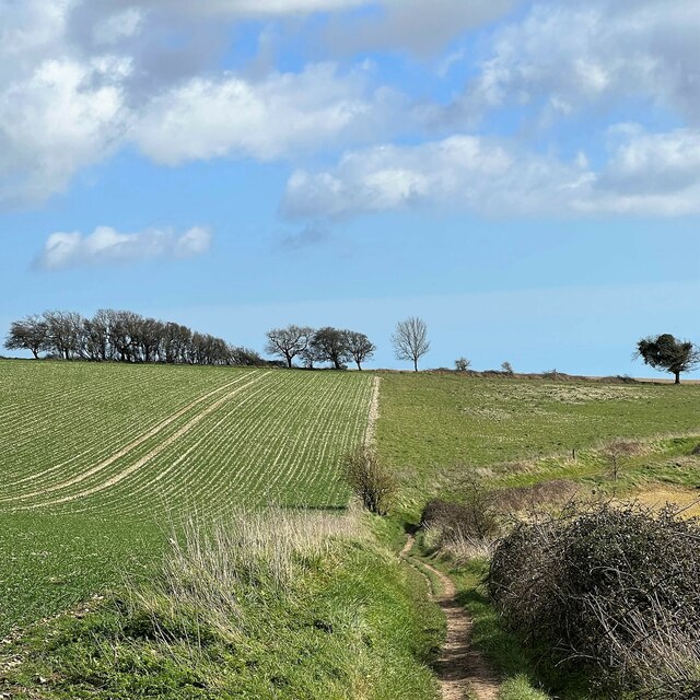
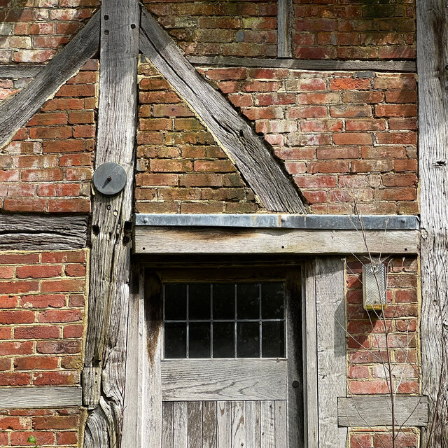
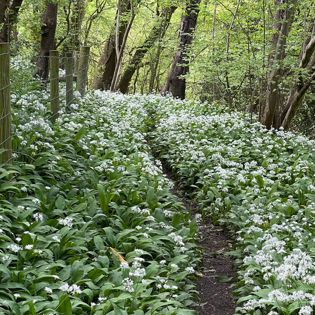
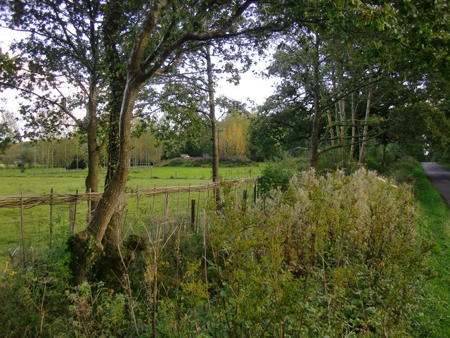
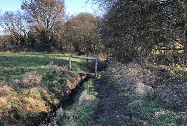
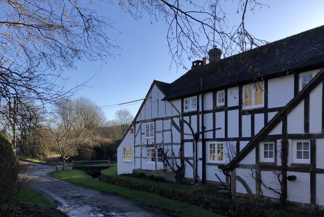
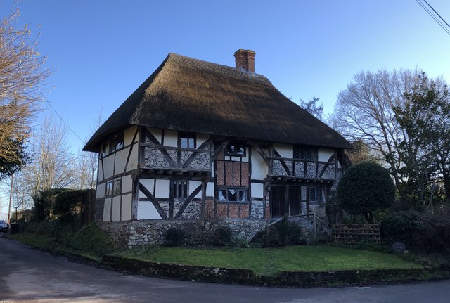
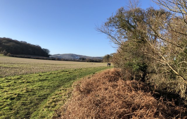
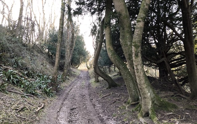
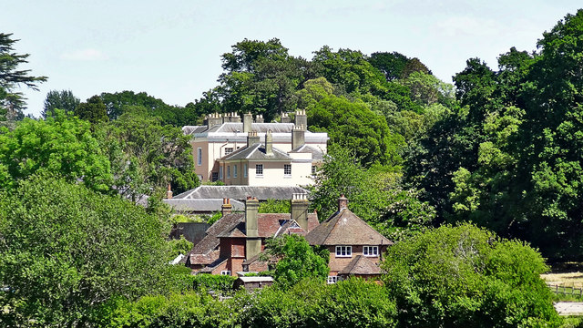
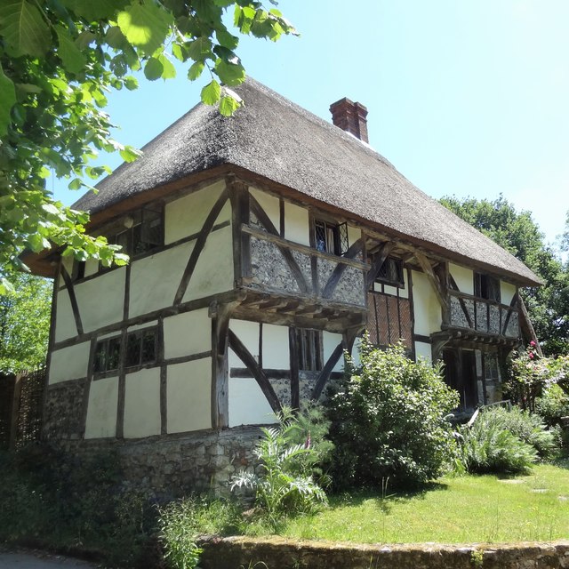
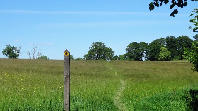
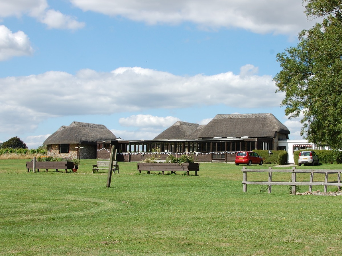
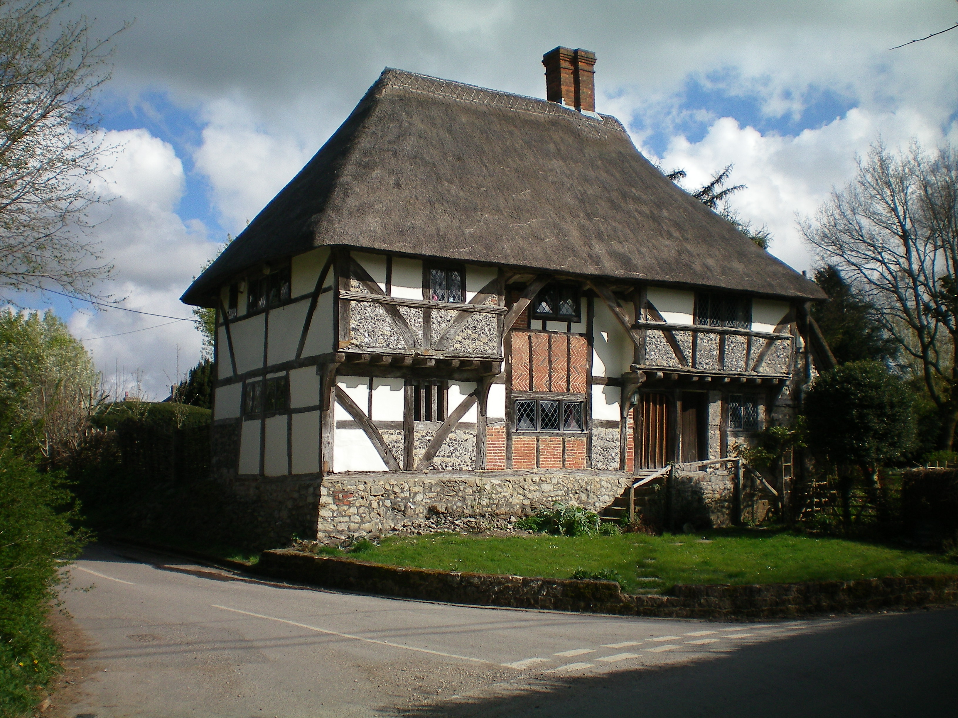
The village of Bury itself is a small, picturesque settlement surrounded by beautiful countryside. It is characterized by its traditional architecture, with many buildings dating back several centuries. The parish is predominantly rural, with a mixture of farmland, woodlands, and open spaces.

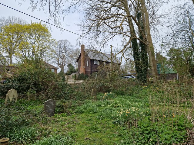
Bury is well-known for its rich history, with archaeological evidence suggesting human activity in the area dating back to the Roman period. The village is home to a number of historical landmarks, including the Grade II listed St. John the Baptist Church, which dates back to the 11th century.

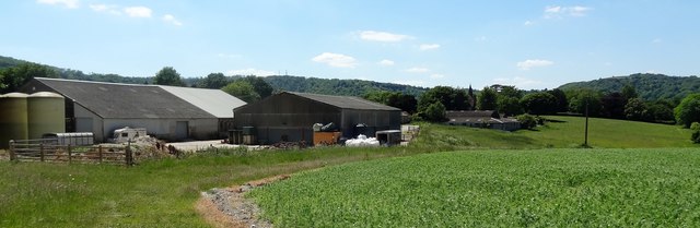
The local economy in Bury is primarily based on agriculture, with farming and horticulture being the main industries. The village has a close-knit community and is served by a local primary school, church, and a few small businesses.

Bury offers a peaceful and idyllic setting for residents and visitors alike, with ample opportunities for outdoor activities such as walking, cycling, and exploring the surrounding countryside. The village also benefits from its proximity to the nearby towns of Arundel and Chichester, providing residents with access to a wider range of amenities and services.

If you have any feedback on the listing, please let us know in the comments section below.

Bury Images

Images are sourced within 2km of 50.919026/-0.574163 or Grid Reference TQ0014. Thanks to Geograph Open Source API. All images are credited.

View WNW towards Glatting Beacon You can see the communications masts on Glatting Beacon. I took this photo from the South Downs Way.
View WNW towards Glatting Beacon
You can see the communications masts on Glatting Beacon. I took this photo from the South Downs Way.
View ESE towards Bury Hill I took this from the South Downs Way.
View ESE towards Bury Hill
I took this from the South Downs Way.
Sunflower head There was a field of immensely tall sunflowers to the north of the public footpath.
Sunflower head
There was a field of immensely tall sunflowers to the north of the public footpath.
Phone box with defibrillator inside
Daffodils in Bury Churchyard
Sydenham Cottage This cottage seemed unlived-in - which, I imagine, is unusual in a prosperous village like West Burton.
Sydenham Cottage
This cottage seemed unlived-in - which, I imagine, is unusual in a prosperous village like West Burton.
Wild garlic by the West Sussex Literary Trail There was an abundance of wild garlic (ramsons) hereabouts - though oddly you could hardly smell it. I guess the strength of the smell depends on the flowering stage that the plant has reached?
Wild garlic by the West Sussex Literary Trail
There was an abundance of wild garlic (ramsons) hereabouts - though oddly you could hardly smell it. I guess the strength of the smell depends on the flowering stage that the plant has reached?
Trees by a ditch I stopped to photograph the French-style plantation of young poplars (seen left) and only then realised that the rank vegetation in the foreground was growing along a roadside ditch - overgrown but still very wet.
Trees by a ditch
I stopped to photograph the French-style plantation of young poplars (seen left) and only then realised that the rank vegetation in the foreground was growing along a roadside ditch - overgrown but still very wet.
Old Direction Sign - Signpost in Bignor village Annulus finial - 2 arms; WSCC parish halo by the UC road, in parish of Bignor (Chichester District), T-junction South of Bignor village, on verge by gate.

To be surveyed

Milestone Society National ID: SX_SU9814A
Old Direction Sign - Signpost in Bignor village
Annulus finial - 2 arms; WSCC parish halo by the UC road, in parish of Bignor (Chichester District), T-junction South of Bignor village, on verge by gate. To be surveyed Milestone Society National ID: SX_SU9814A
Footbridge over small stream The footbridge carries the West Sussex Literary Trail across a small stream on the way to West Burton.
Footbridge over small stream
The footbridge carries the West Sussex Literary Trail across a small stream on the way to West Burton.
Fogdens Cottage The cottage is a Grade II listed building. See <span class="nowrap"><a title="https://historicengland.org.uk/listing/the-list/list-entry/1026543" rel="nofollow ugc noopener" href="https://historicengland.org.uk/listing/the-list/list-entry/1026543">Link</a><img style="margin-left:2px;" alt="External link" title="External link - shift click to open in new window" src="https://s1.geograph.org.uk/img/external.png" width="10" height="10"/></span>
Fogdens Cottage
The cottage is a Grade II listed building. See LinkExternal link
The Yeoman’s House Previously known as The Old Shop it is a Grade II* (star) listed building.
The Yeoman’s House
Previously known as The Old Shop it is a Grade II* (star) listed building.
West Sussex Literary Trail On the trail heading towards Bignor from West Burton.
West Sussex Literary Trail
On the trail heading towards Bignor from West Burton.
Track beside Westburton Hill The quaintly named Egg Bottom Coppice is off to the right of the track.
Track beside Westburton Hill
The quaintly named Egg Bottom Coppice is off to the right of the track.
View towards Bignor Park Bignor Park Cottages (in the middle distance) are in SU9815, and I'm treating them as the subject. The larger building behind them is the main house at Bignor Park. It is in the adjacent grid square (SU9915).
View towards Bignor Park
Bignor Park Cottages (in the middle distance) are in SU9815, and I'm treating them as the subject. The larger building behind them is the main house at Bignor Park. It is in the adjacent grid square (SU9915).
House in Bignor
House in Bignor
View towards Manor Farm and the South Downs
Path heading NE towards Bignor Park
Show me another place!

Bury is located at Grid Ref: TQ0014 (Lat: 50.919026, Lng: -0.574163)

Administrative County: West Sussex

District: Chichester

Police Authority: Sussex

What 3 Words

///prompts.podcast.childcare. Near Pulborough, West Sussex
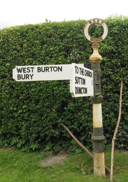
Nearby Locations

Bury Common Bury

Related Wikis

West Burton, West Sussex

West Burton is a small hamlet in the Parish of Bury and the Chichester district of West Sussex, England. It lies between Bignor and Bury on the Lower Greensand...

Bury, West Sussex

Bury is a village and civil parish in the Chichester district of West Sussex, England. It is located on the A29 road, around 5 miles (8 km) south-west...

Bignor Roman Villa

Bignor Roman Villa is a large Roman courtyard villa which has been excavated and put on public display on the Bignor estate in the English county of West...

Dorset House School

Dorset House School is a co-educational preparatory school near Pulborough in West Sussex, England. == History == The school was founded in 1784 as Totteridge...

Bignor Park

Bignor Park is a privately owned country house and estate near the village of Bignor, in West Sussex, England, on the edge of the South Downs. The house...

Bury Hill, Arundel

Bury Hill is an area of West Sussex, England, north of Arundel and southwest of Bury. In the 18th century, its name may have sometimes been spelled Berry...

Watersfield

Watersfield is a hamlet in the Horsham District of West Sussex, England. It lies on the A29 road 3.1 miles (5 km) southwest of Pulborough. At the 2011...

Bignor

Bignor is a village and civil parish in the Chichester district of the English county of West Sussex, about six miles (9.7 km) north of Arundel. It is...

Nearby Amenities

Located within 500m of 50.919026,-0.574163
West Burton
Is In: West Sussex, England, UK
Place: village
Source: npe
Wikidata: Q7984622
Lat/Long: 50.9170393/-0.57785
Post Box
Collection Plate: CP1
Collection Times: Mo-Fr 16:45; Sa 08:30
Operator: Royal Mail
Post Box Type: wall
Ref: RH20 7
Royal Cypher: EIIR
Royal Cypher Wikidata: Q33102113
Lat/Long: 50.9171113/-0.5805147
Barrier: stile
Lat/Long: 50.9152229/-0.5755628
Barrier: stile
Lat/Long: 50.9152648/-0.5756128
Barrier: stile
Lat/Long: 50.9162921/-0.5763445
Barrier: stile
Lat/Long: 50.9172619/-0.5678799
Barrier: stile
Lat/Long: 50.9184933/-0.5695809
Barrier: stile
Lat/Long: 50.9191827/-0.5700576
Barrier: stile
Lat/Long: 50.9200476/-0.5709492
The data included in this document is from www.openstreetmap.org. The data is made available under ODbL.

Have you been to Bury?

Leave your review of Bury below (or comments, questions and feedback).