Burwell
Civil Parish in Lincolnshire East Lindsey
England
Burwell

Burwell is a civil parish located in the county of Lincolnshire, England. Situated approximately 10 miles northeast of the city of Lincoln, the parish covers an area of about 4 square miles. It is bordered by the parishes of Stainton by Langworth, Sudbrooke, and Scothern.
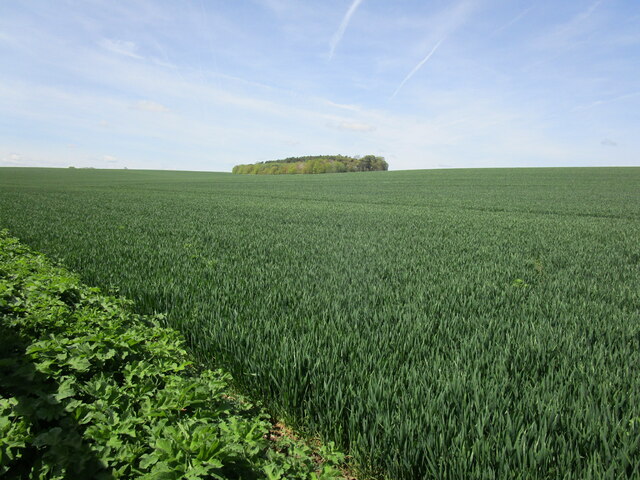
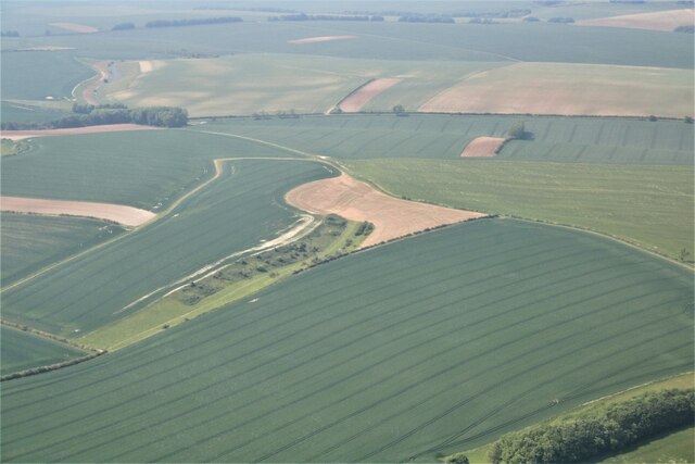
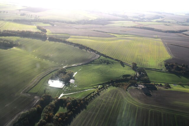
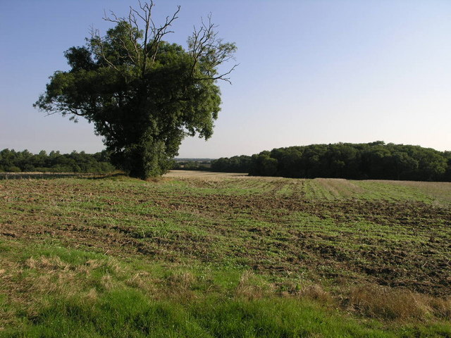
The village of Burwell itself is relatively small, with a population of around 300 residents. It is predominantly a rural area, surrounded by picturesque countryside and farmland. The village is characterized by its charming traditional cottages, many of which date back several centuries.
Burwell has a rich history, with evidence of human habitation in the area dating back to the Roman period. The village is mentioned in the Domesday Book of 1086, which highlights its importance as a settlement during medieval times.
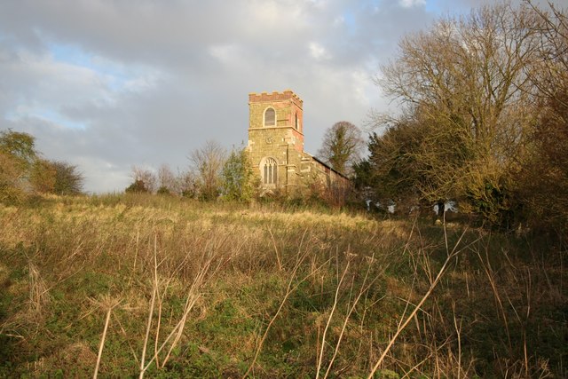
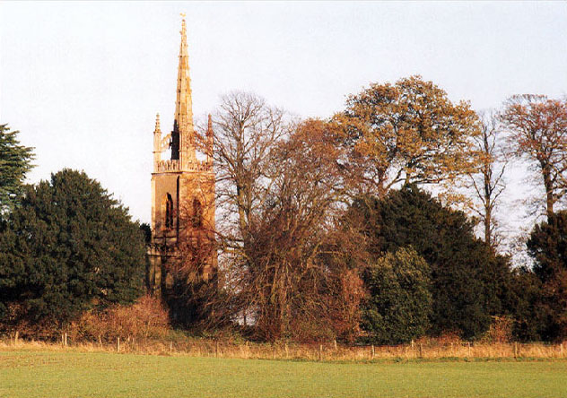
Today, Burwell remains a quiet and peaceful place, with a strong sense of community. The village is home to a local parish church, St. Michael's, which dates back to the 13th century and is known for its beautiful stained glass windows.
While there are limited amenities within the village, residents have easy access to nearby towns and cities for their everyday needs. The surrounding countryside also offers ample opportunities for outdoor activities such as hiking, cycling, and horse riding.
In conclusion, Burwell is a small and historic village in Lincolnshire, known for its rural charm and close-knit community.
If you have any feedback on the listing, please let us know in the comments section below.
Burwell Images
Images are sourced within 2km of 53.29946/0.041818 or Grid Reference TF3680. Thanks to Geograph Open Source API. All images are credited.


Burwell is located at Grid Ref: TF3680 (Lat: 53.29946, Lng: 0.041818)
Administrative County: Lincolnshire
District: East Lindsey
Police Authority: Lincolnshire
What 3 Words
///movies.eruptions.rattled. Near Burwell, Lincolnshire
Nearby Locations
Related Wikis
Burwell Priory
Burwell Priory was a priory in the village of Burwell, Lincolnshire, England. The priory was built around 1110 for Benedictine monks, by Ansgot of Burwell...

St Michael's Church, Burwell
St Michael's Church is a redundant Anglican church in the village of Burwell, Lincolnshire, England. It is recorded in the National Heritage List for...

Burwell, Lincolnshire
Burwell is a small village and Civil parish in the East Lindsey district of Lincolnshire, England. It is situated on the A16 road, and north from Spilsby...

Walmsgate
Walmsgate is a hamlet in the civil parish of Burwell, in the East Lindsey district of Lincolnshire, England. It is situated on the A16 road, 6 miles (10...
Muckton
Muckton is a village and former civil parish in the East Lindsey district of Lincolnshire, England. It lies between the A16 and A157 roads, 5 miles (8...

Louth and Horncastle (UK Parliament constituency)
Louth and Horncastle is a constituency in Lincolnshire represented in the House of Commons of the UK Parliament since 2015 by Victoria Atkins, a Conservative...

Haugham
Haugham is a village and civil parish in the East Lindsey district of Lincolnshire, England. It is situated 3 miles (5 km) south from Louth. The prime...
All Saints Church, Haugham
All Saints Church is a former Anglican church in the village of Haugham, Lincolnshire, England. It is recorded in the National Heritage List for England...
Nearby Amenities
Located within 500m of 53.29946,0.041818Have you been to Burwell?
Leave your review of Burwell below (or comments, questions and feedback).