Burwell

Civil Parish in Cambridgeshire East Cambridgeshire

England

Burwell

Bales in harvest time Fields north-east of Haycroft Lane, between Burwell and Exning, on a sunny morning in early August. Harvest is well advanced in this part of East Anglia.
Bales in harvest time Credit: John Sutton

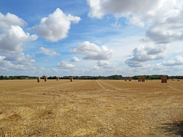
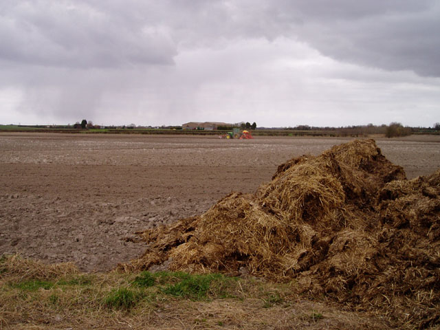
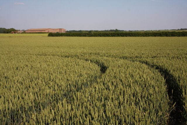
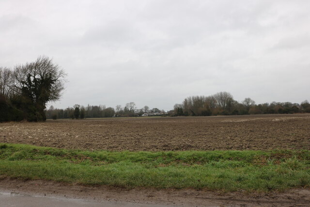
Burwell is a civil parish located in the county of Cambridgeshire, England. Situated about 11 miles northeast of the city of Cambridge, it lies on the eastern edge of the Fens, a flat and low-lying area known for its rich agricultural land. The parish covers an area of approximately 11 square miles and is bordered by the villages of Reach, Swaffham Bulbeck, Wicken, and Exning.

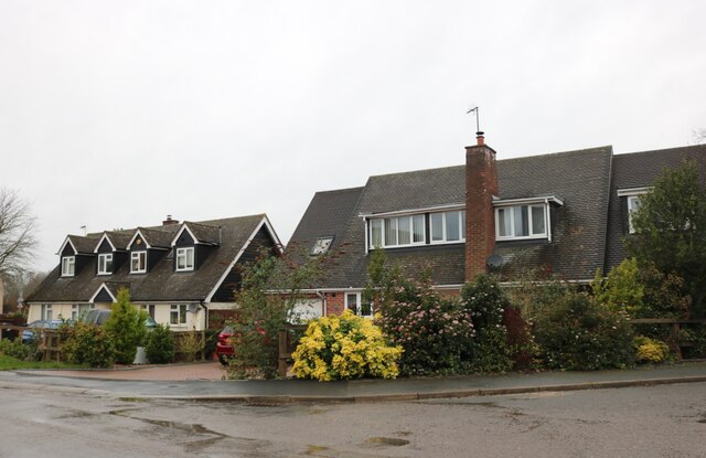
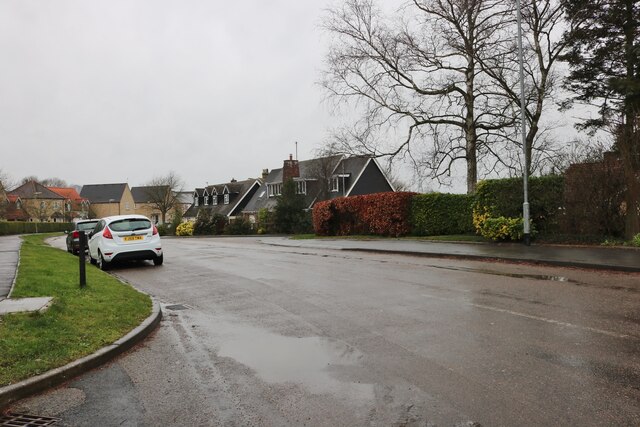
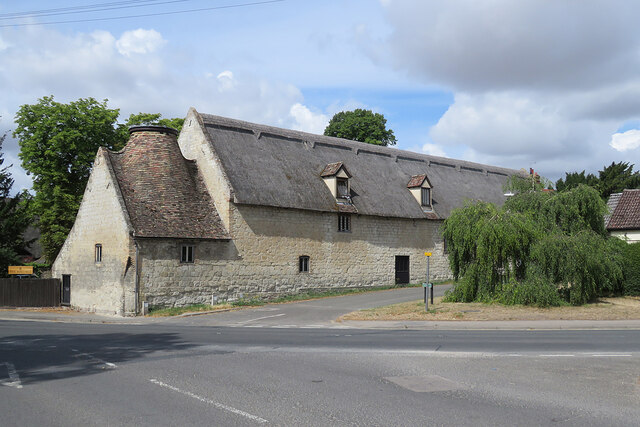
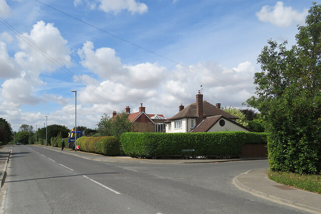
With a population of around 6,500 residents, Burwell is a vibrant and close-knit community. The village has a long history, dating back to at least the Roman era, as evidenced by the discovery of Roman pottery and coins in the area. Today, it boasts a mix of traditional thatched cottages and modern developments, blending the old with the new.

Burwell offers a range of amenities and services to its residents. It has a primary school, a village college, a medical center, and a library, ensuring that the needs of its residents are well catered for. The village also has a variety of shops, including a supermarket, post office, and several independent retailers.

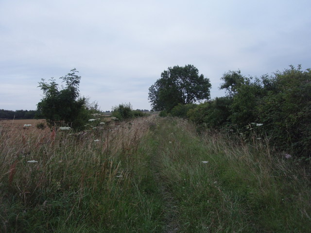
The surrounding countryside provides ample opportunities for outdoor activities, with numerous footpaths and bridleways for walkers, runners, and cyclists to explore. The nearby Wicken Fen Nature Reserve offers a unique habitat for wildlife enthusiasts to enjoy, with its wetlands and diverse range of flora and fauna.

Overall, Burwell is a picturesque and thriving village with a strong sense of community, making it an attractive place to live and visit in Cambridgeshire.

If you have any feedback on the listing, please let us know in the comments section below.
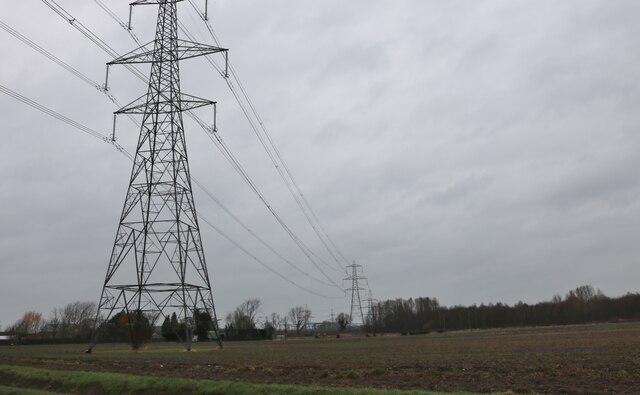
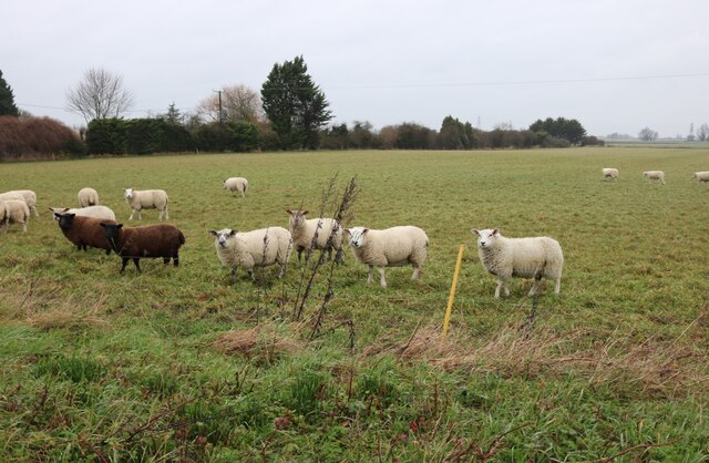
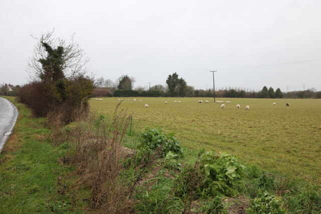
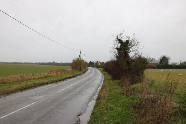
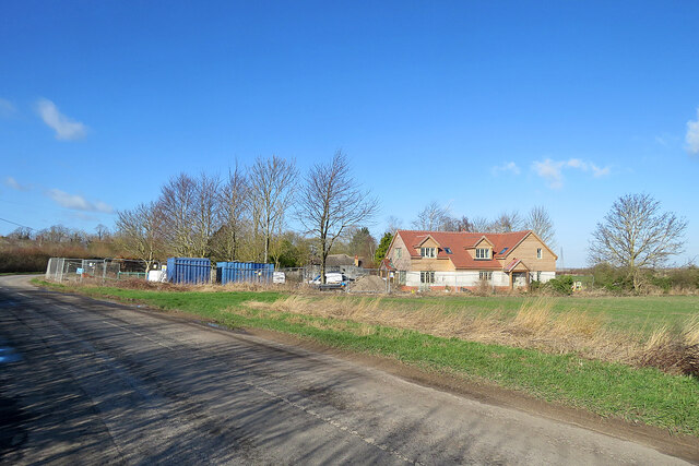
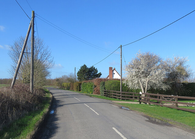
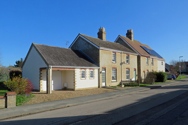
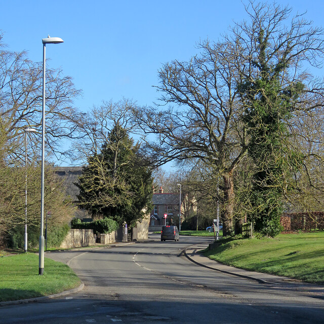
Burwell Images

Images are sourced within 2km of 52.282806/0.322566 or Grid Reference TL5867. Thanks to Geograph Open Source API. All images are credited.

Bales in harvest time Fields north-east of Haycroft Lane, between Burwell and Exning, on a sunny morning in early August. Harvest is well advanced in this part of East Anglia.
Bales in harvest time
Fields north-east of Haycroft Lane, between Burwell and Exning, on a sunny morning in early August. Harvest is well advanced in this part of East Anglia.
Haycroft Lane Now a restricted byway, this track was once a link between Burwell and Exning. The photograph was taken in Cambridgeshire, looking into Suffolk.
Haycroft Lane
Now a restricted byway, this track was once a link between Burwell and Exning. The photograph was taken in Cambridgeshire, looking into Suffolk.
Tractor sowing near Burwell The scene shows evidence of two important industries in this part of Cambridgeshire - arable farming and equestrianism.
Tractor sowing near Burwell
The scene shows evidence of two important industries in this part of Cambridgeshire - arable farming and equestrianism.
Wheat field at Breach Farm Viewed from the end of the lay-by on the B1102 Ness Road, looking due east towards buildings at Breach Farm.
Wheat field at Breach Farm
Viewed from the end of the lay-by on the B1102 Ness Road, looking due east towards buildings at Breach Farm.
Houses on Reach Road, Burwell At the corner of Scotred Close
Houses on Reach Road, Burwell
At the corner of Scotred Close
Reach Road, Burwell
Reach Road, Burwell
Reach Road, Burwell
Reach Road, Burwell
Field by Reach Road, Burwell
Pylons by Reach Road, Burwell
Sheep by Burwell Road, Reach They all looked up from their grazing when I arrived.
Sheep by Burwell Road, Reach
They all looked up from their grazing when I arrived.
Sheep grazing by Burwell Road, Reach
Burwell Road, Reach
Burwell Road, Reach
Reach: a new house on Burwell Road On the eastern edge of a small fen-edge village.
Reach: a new house on Burwell Road
On the eastern edge of a small fen-edge village.
February blossom on Burwell Road Between Burwell and Reach (ahead) on a bright and blustery winter morning. The first blossoms on prunus and blackthorn hedges have appeared this week - and there were some daffodils on the verge, sheltered by the tall hedge.
February blossom on Burwell Road
Between Burwell and Reach (ahead) on a bright and blustery winter morning. The first blossoms on prunus and blackthorn hedges have appeared this week - and there were some daffodils on the verge, sheltered by the tall hedge.
Burwell: clunch walls on Reach Road The walls of these Victorian cottages (but not I think their rendered extensions) are clunch, the local building stone, a type of chalk. Clunch is soft and weathers quickly, so the quoins and window reveals are brick.
Burwell: clunch walls on Reach Road
The walls of these Victorian cottages (but not I think their rendered extensions) are clunch, the local building stone, a type of chalk. Clunch is soft and weathers quickly, so the quoins and window reveals are brick.
Burwell: bare branches on a February morning The B1102 seen from the corner of Reach Road.
Burwell: bare branches on a February morning
The B1102 seen from the corner of Reach Road.
Burwell: The Maltings The Grade II listing text reads "Late C18. Clunch with gault brick dressings. Thatched roof of twelve bays with tumbled brick parapet gables; plain tile roof to malting kiln at south and rear outshut. Two storeys with attics. Five windows in segmental brick arches with wooden lattices. One first-floor, and one ground-floor boarded door." Clunch is a type of chalk once used as building stone in these parts.
Burwell: The Maltings
The Grade II listing text reads "Late C18. Clunch with gault brick dressings. Thatched roof of twelve bays with tumbled brick parapet gables; plain tile roof to malting kiln at south and rear outshut. Two storeys with attics. Five windows in segmental brick arches with wooden lattices. One first-floor, and one ground-floor boarded door." Clunch is a type of chalk once used as building stone in these parts.
Burwell: Isaacson Road A suburban-looking part of a large village on the edge of the Cambridgeshire Fens. Copperfield Way is on the right.
Burwell: Isaacson Road
A suburban-looking part of a large village on the edge of the Cambridgeshire Fens. Copperfield Way is on the right.
Show me another place!

Burwell is located at Grid Ref: TL5867 (Lat: 52.282806, Lng: 0.322566)

Administrative County: Cambridgeshire

District: East Cambridgeshire

Police Authority: Cambridgeshire

What 3 Words

///pasta.billiard.straying. Near Burwell, Cambridgeshire

Nearby Locations

Newham Burwell

Related Wikis

Burwell, Cambridgeshire

Burwell is a village and civil parish in Cambridgeshire, England, some 10 miles (16 km) north-east of Cambridge. It lies on the south-east edge of the...

Burwell Museum

The Burwell Museum (also known as Burwell Museum and Windmill) is located in Burwell, Cambridgeshire, England. The museum depicts life through the centuries...

Burwell Castle

Burwell Castle was an unfinished medieval enclosure castle in Burwell, Cambridgeshire, England. == Details == Burwell Castle was built near the village...

Burwell railway station

Burwell railway station was on the Cambridge and Mildenhall branch of the Great Eastern Railway. After the closure of the line, the site of Burwell station...

Exning Road Halt railway station

Exning Road Halt railway station served the village of Exning, Suffolk, England from 1922 to 1962 on the Cambridge to Mildenhall railway. == History... ==

Reach, Cambridgeshire

Reach is a small village and civil parish on the edge of the fenland in East Cambridgeshire, England at the north end of Devil's Dyke, about 1.5 miles...

Exning

Exning is a village and civil parish in the West Suffolk district of Suffolk in eastern England. It lies just off the A14 trunk road, roughly 12 miles...

Burwell Tramway

Burwell Tramway was a 2.5 miles (4.0 km) standard gauge industrial tramway which ran from the Ely-Newmarket line, just south of the Soham-Wicken A1123...

Related Videos

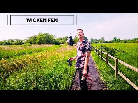
Wicken Fen | WALKING TAIL!

TODAY'S HIGHLIGHT. Hiking around Wicken Fen on our day off exploring new places and nature. Come have a nose with us! :)
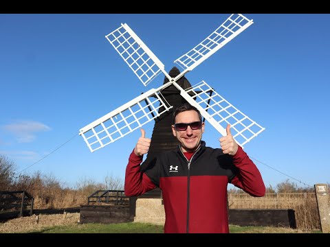
Wicken Fen Windpump

Another day, another National Trust Site. This time we went to the very scenic Wicken Fen Nature Reserve in Cambridgeshire and ...

Lodes Way National Trust | Virtual Run / Walk ASMR | Treadmill Workout Scenery | Cambridgeshire Fens

Scenic countryside, fenland, and river virtual run / gimbal walking tour with natural sounds (ASMR) along the National Trust and ...

Lodes Way | Virtual Run / Walk ASMR | Treadmill Workout Scenery | Cambridgeshire Fens

Scenic countryside, fenland, and river virtual run / gimbal walking tour with natural sounds (ASMR) along the National Trust and ...

Nearby Amenities

Located within 500m of 52.282806,0.322566
Post Box
Collection Times: Mo-Fr 09:00; Sa 07:00
Operator: Royal Mail
Ref: CB25 243
Lat/Long: 52.2835578/0.3251131
Bus Stop
New Road
Naptan AtcoCode: 0500EBURW035
Naptan Bearing: S
Naptan BusStopType: CUS
Naptan CommonName: New Road
Naptan Indicator: near
Naptan Landmark: New Road
Naptan NaptanCode: cmbdgmgt
Naptan ShortCommonName: New Road
Naptan Street: North Street
Naptan Verified: no
Public Transport: platform
Source: naptan_import
Lat/Long: 52.28364/0.3250725
Bench
Lat/Long: 52.2829575/0.3226111
The data included in this document is from www.openstreetmap.org. The data is made available under ODbL.

Have you been to Burwell?

Leave your review of Burwell below (or comments, questions and feedback).