Newham

Settlement in Cambridgeshire East Cambridgeshire

England

Newham

Welcome to Cambridgeshire The county boundary, half way between Exning and Burwell (ahead) - one of the most westerly points in Suffolk. The hump in the road ahead (in <a href="https://www.geograph.org.uk/gridref/TL5966">TL5966</a>) is where there was a bridge over the Cambridge to Mildenhall railway line, which closed in the 1960s.
Welcome to Cambridgeshire Credit: John Sutton

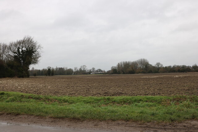
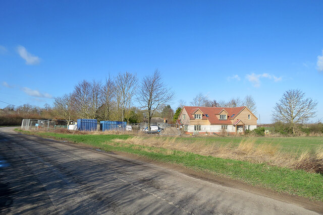
Newham is a small village located in the county of Cambridgeshire, England. Situated approximately 10 miles northeast of the city of Cambridge, it falls within the district of South Cambridgeshire. The village is nestled amidst picturesque countryside, offering a tranquil and scenic setting for its residents.

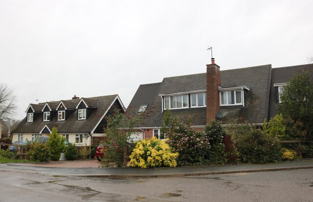
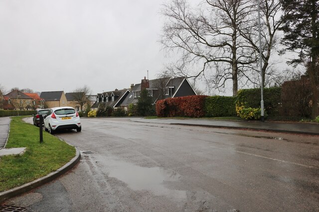
With a population of around 600 people, Newham is a close-knit community that exudes a friendly and welcoming atmosphere. It is characterized by its charming cottages and traditional architecture, which adds to its rural appeal. The village is well-served by a range of local amenities, including a village hall, a primary school, and a post office, catering to the needs of its residents.

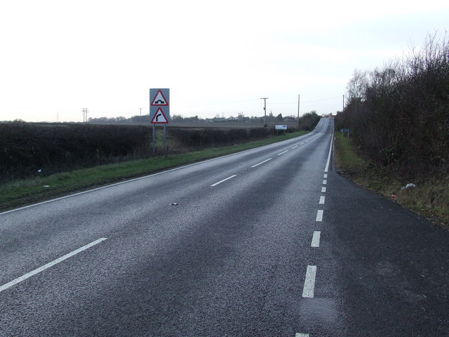
Newham enjoys good transport links, with the nearby A14 road providing easy access to Cambridge and the surrounding areas. The village is also served by regular bus services, connecting it to nearby towns and villages.

Despite its small size, Newham boasts a rich history, with evidence of human habitation dating back to the Roman period. The village has a fascinating heritage, and many historical sites can be found in the vicinity, including the remains of a medieval castle and a 12th-century church.

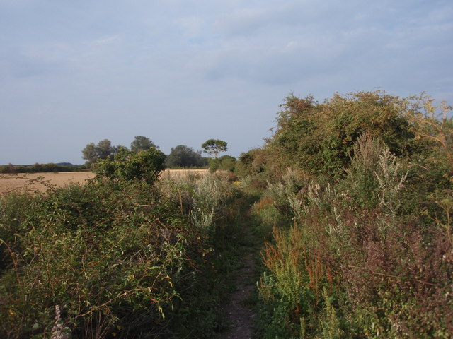
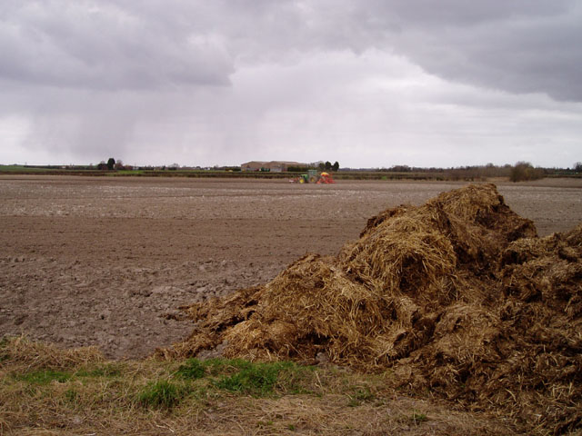
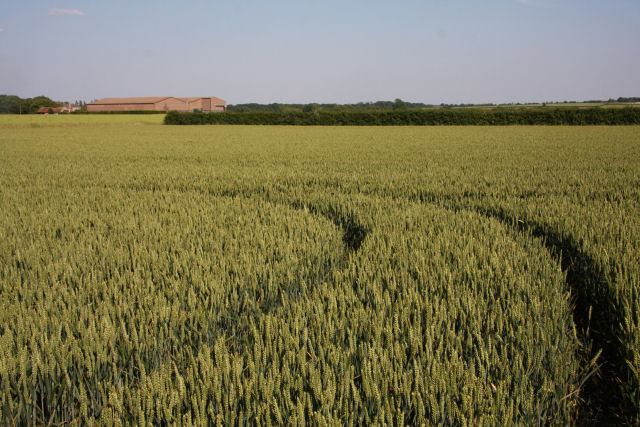
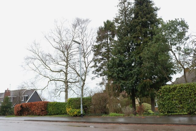
Surrounded by beautiful countryside, Newham offers ample opportunities for outdoor activities. Residents and visitors can explore the nearby nature reserves, take leisurely walks along the picturesque River Cam, or enjoy the tranquility of the surrounding fields and meadows.

In summary, Newham is a charming and peaceful village in Cambridgeshire, offering a close-knit community, a range of amenities, and a stunning natural environment.

If you have any feedback on the listing, please let us know in the comments section below.
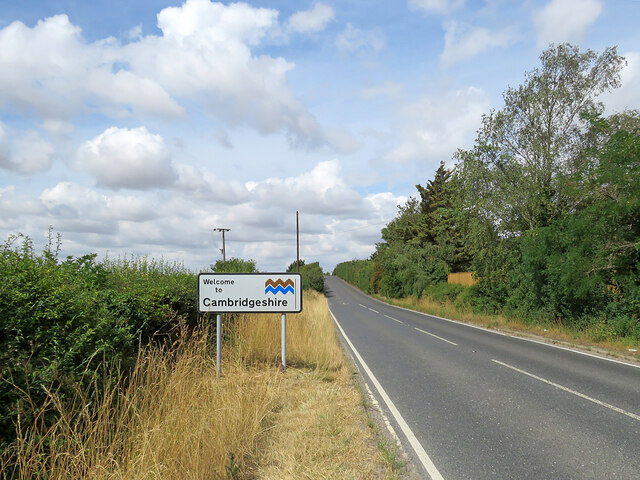
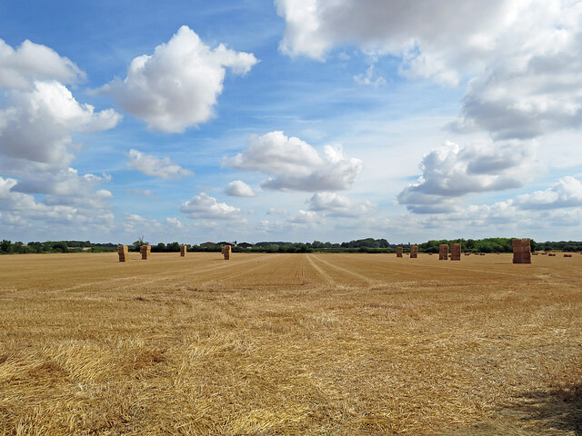
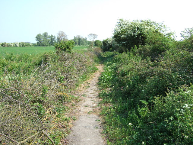
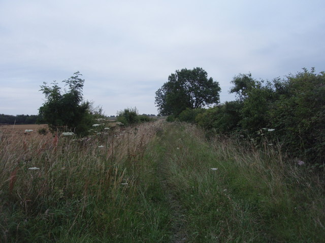
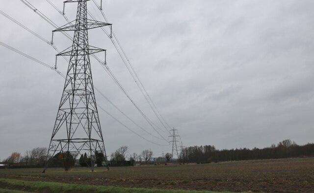
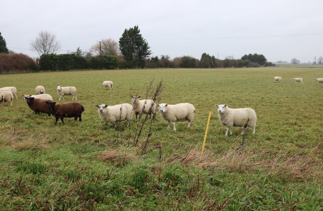
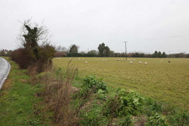
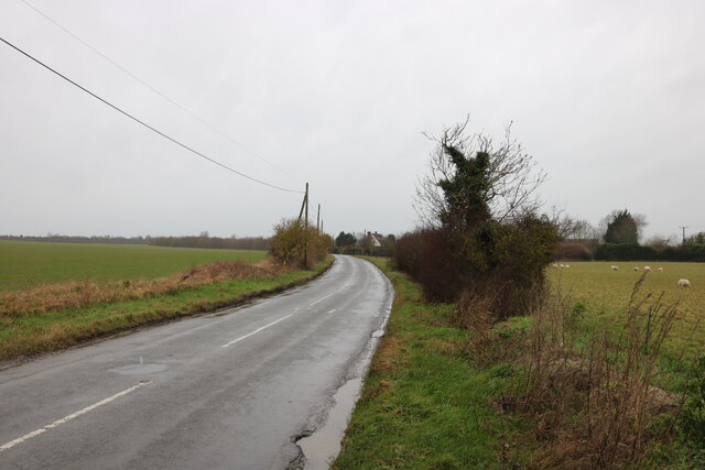
Newham Images

Images are sourced within 2km of 52.280378/0.32265235 or Grid Reference TL5867. Thanks to Geograph Open Source API. All images are credited.

Welcome to Cambridgeshire The county boundary, half way between Exning and Burwell (ahead) - one of the most westerly points in Suffolk. The hump in the road ahead (in <a href="https://www.geograph.org.uk/gridref/TL5966">TL5966</a>) is where there was a bridge over the Cambridge to Mildenhall railway line, which closed in the 1960s.
Welcome to Cambridgeshire
The county boundary, half way between Exning and Burwell (ahead) - one of the most westerly points in Suffolk. The hump in the road ahead (in TL5966) is where there was a bridge over the Cambridge to Mildenhall railway line, which closed in the 1960s.
Bales in harvest time Fields north-east of Haycroft Lane, between Burwell and Exning, on a sunny morning in early August. Harvest is well advanced in this part of East Anglia.
Bales in harvest time
Fields north-east of Haycroft Lane, between Burwell and Exning, on a sunny morning in early August. Harvest is well advanced in this part of East Anglia.
Footpath near Halfway House Halfway between Burwell and Exning
Footpath near Halfway House
Halfway between Burwell and Exning
Haycroft Lane Now a restricted byway, this track was once a link between Burwell and Exning. The photograph was taken in Cambridgeshire, looking into Suffolk.
Haycroft Lane
Now a restricted byway, this track was once a link between Burwell and Exning. The photograph was taken in Cambridgeshire, looking into Suffolk.
Restricted Byway, Exning A restricted byway on the very edge of Suffolk next to the dismantled Cambridge to Mildenhall railway.
Restricted Byway, Exning
A restricted byway on the very edge of Suffolk next to the dismantled Cambridge to Mildenhall railway.
Tractor sowing near Burwell The scene shows evidence of two important industries in this part of Cambridgeshire - arable farming and equestrianism.
Tractor sowing near Burwell
The scene shows evidence of two important industries in this part of Cambridgeshire - arable farming and equestrianism.
Halfway House So called because it is half way between the villages of Burwell and Exning.  The county boundary between Suffolk and Cambridgeshire runs along the western edge of the property.
Halfway House
So called because it is half way between the villages of Burwell and Exning. The county boundary between Suffolk and Cambridgeshire runs along the western edge of the property.
Border Ahead Cambridgeshire border ahead looking west on the B1103 near to Burwell, Cambridgeshire.
Border Ahead
Cambridgeshire border ahead looking west on the B1103 near to Burwell, Cambridgeshire.
Wheat field at Breach Farm Viewed from the end of the lay-by on the B1102 Ness Road, looking due east towards buildings at Breach Farm.
Wheat field at Breach Farm
Viewed from the end of the lay-by on the B1102 Ness Road, looking due east towards buildings at Breach Farm.
Houses on Reach Road, Burwell At the corner of Scotred Close
Houses on Reach Road, Burwell
At the corner of Scotred Close
Reach Road, Burwell
Reach Road, Burwell
Reach Road, Burwell
Reach Road, Burwell
Field by Reach Road, Burwell
Pylons by Reach Road, Burwell
Sheep by Burwell Road, Reach They all looked up from their grazing when I arrived.
Sheep by Burwell Road, Reach
They all looked up from their grazing when I arrived.
Sheep grazing by Burwell Road, Reach
Burwell Road, Reach
Burwell Road, Reach
Reach: a new house on Burwell Road On the eastern edge of a small fen-edge village.
Reach: a new house on Burwell Road
On the eastern edge of a small fen-edge village.
Show me another place!

Newham is located at Grid Ref: TL5867 (Lat: 52.280378, Lng: 0.32265235)

Administrative County: Cambridgeshire

District: East Cambridgeshire

Police Authority: Cambridgeshire

What 3 Words

///beads.graduated.crunch. Near Burwell, Cambridgeshire

Nearby Locations

Newham Burwell

Related Wikis

Burwell, Cambridgeshire

Burwell is a village and civil parish in Cambridgeshire, England, some 10 miles (16 km) north-east of Cambridge. It lies on the south-east edge of the...

Burwell Museum

The Burwell Museum (also known as Burwell Museum and Windmill) is located in Burwell, Cambridgeshire, England. The museum depicts life through the centuries...

Burwell Castle

Burwell Castle was an unfinished medieval enclosure castle in Burwell, Cambridgeshire, England. == Details == Burwell Castle was built near the village...

Burwell railway station

Burwell railway station was on the Cambridge and Mildenhall branch of the Great Eastern Railway. After the closure of the line, the site of Burwell station...

Nearby Amenities

Located within 500m of 52.280378,0.32265235
Burwell Sports Centre
Created By: Potlatch 0.10e
Leisure: sports_centre
Sport: multi
Lat/Long: 52.2795378/0.3274979
Pub
The Fox
Addr Housenumber: 2
Addr Postcode: CB25 0BA
Addr Street: North Street
Fhrs Id: 336466
Food: yes
Outdoor Seating: yes
Source Addr: FHRS Open Data
Wikidata: Q26419376
Lat/Long: 52.2799663/0.3247658
Pub
The Anchor
Addr Housenumber: 63
Addr Postcode: CB25 0BA
Addr Street: North Street
Fhrs Id: 1543521
Food: yes
Note: fhrs;Id is old one, new one doesnt appear to have been assigned
Real Ale: 4 handpumps
Real Fire: wood-burner
Source Addr: FHRS Open Data
Toilets: customers
Wheelchair Description: fairly steep access to front door, no steps
Lat/Long: 52.284466/0.324657
Post Box
Collection Times: Mo-Fr 09:00; Sa 07:00
Operator: Royal Mail
Ref: CB25 243
Lat/Long: 52.2835578/0.3251131
Post Box
Collection Times: Mo-Fr 16:00; Sa 10:00
Operator: Royal Mail
Operator Wikidata: Q638098
Ref: CB25 241
Lat/Long: 52.2800621/0.3242745
Bus Stop
Guyatt Court
Bus: yes
Naptan AtcoCode: 0500EBURW002
Naptan Bearing: SE
Naptan BusStopType: CUS
Naptan CommonName: Guyatt Court
Naptan Indicator: near
Naptan Landmark: Guyatt Court
Naptan NaptanCode: cmbdgjta
Naptan ShortCommonName: Guyatt Court
Naptan Street: The Causeway
Naptan Verified: no
Public Transport: platform
Source: naptan_import
Lat/Long: 52.278183/0.3259156
Bus Stop
Ness Road
Bus: yes
Naptan AtcoCode: 0500EBURW028
Naptan Bearing: NW
Naptan CommonName: Ness Road
Naptan Indicator: opp
Naptan Landmark: Ness Road
Naptan NaptanCode: cmbdgmdt
Naptan ShortCommonName: Ness Road
Naptan Street: The Causeway
Naptan Verified: no
Public Transport: platform
Source: naptan_import
Lat/Long: 52.2767528/0.3268523
Bus Stop
New Road
Naptan AtcoCode: 0500EBURW035
Naptan Bearing: S
Naptan BusStopType: CUS
Naptan CommonName: New Road
Naptan Indicator: near
Naptan Landmark: New Road
Naptan NaptanCode: cmbdgmgt
Naptan ShortCommonName: New Road
Naptan Street: North Street
Naptan Verified: no
Public Transport: platform
Source: naptan_import
Lat/Long: 52.28364/0.3250725
Bus Stop
Hatley Drive
Naptan AtcoCode: 0500EBURW038
Naptan Bearing: S
Naptan CommonName: Hatley Drive
Naptan Indicator: opp
Naptan Landmark: Hatley Drive
Naptan NaptanCode: cmbdgmjd
Naptan ShortCommonName: Hatley Drive
Naptan Street: North Street
Naptan Verified: no
Public Transport: platform
Source: naptan_import
Lat/Long: 52.2818124/0.325182
Power: pole
Lat/Long: 52.2771974/0.3222379
Power: pole
Lat/Long: 52.2773533/0.3215137
Power: pole
Lat/Long: 52.2769184/0.3187885
Power: transformer
Voltage: 132000
Lat/Long: 52.2772426/0.3175025
Power: pole
Lat/Long: 52.2774419/0.3199781
Power: pole
Lat/Long: 52.2770399/0.3188972
Power: pole
Lat/Long: 52.2775338/0.3184479
Power: pole
Lat/Long: 52.277254/0.3215043
Power: pole
Lat/Long: 52.2774272/0.3184251
Power: pole
Lat/Long: 52.2772516/0.3178793
Power: pole
Lat/Long: 52.2772327/0.3176272
Power: pole
Lat/Long: 52.2787991/0.317139
Power: pole
Lat/Long: 52.2772565/0.318405
Power: pole
Lat/Long: 52.279851/0.316573
Power: pole
Lat/Long: 52.2778612/0.3179142
Power: pole
Lat/Long: 52.2793045/0.3186893
Power: pole
Lat/Long: 52.2770284/0.3190313
Power: pole
Lat/Long: 52.2773197/0.3199781
Power: pole
Lat/Long: 52.2777439/0.3194001
Power: pole
Lat/Long: 52.2773025/0.3220448
Power: pole
Lat/Long: 52.2809521/0.3159749
Power: pole
Lat/Long: 52.2786053/0.3190077
Power: pole
Lat/Long: 52.2773509/0.3184251
Power: pole
Lat/Long: 52.2770891/0.3186759
Power: pole
Lat/Long: 52.2771597/0.3222258
Power: pole
Lat/Long: 52.2773033/0.3184157
Barrier: entrance
Lat/Long: 52.283625/0.326276
Bicycle Parking
Bicycle Parking: stands
Capacity: 4
Covered: no
Supervised: no
Lat/Long: 52.2799322/0.3248834
Restaurant
The Bengal Fox
Addr City: Burwell
Addr Housename: The Bengal Fox
Addr Housenumber: 2
Addr Postcode: CB25 0BA
Addr Street: North Street
Cuisine: indian
Delivery: yes
Phone: +44 1638 605559
Takeaway: yes
Website: https://www.bengalfox.co.uk/
Lat/Long: 52.2799769/0.3250491
Waste Basket
Lat/Long: 52.2800797/0.3245059
Waste Basket
Lat/Long: 52.2812793/0.3200987
Barber Shop
Shop: hairdresser
Lat/Long: 52.2778313/0.3258493
CentrePeace
Shop: charity
Website: https://www.stmarysburwell.org.uk/centrepeace/centrepeace.php
Lat/Long: 52.2778492/0.3262355
Fast Food
The Best Plaice
Addr Housenumber: 40
Addr Postcode: CB25 0DU
Addr Street: The Causeway
Cuisine: fish_and_chips
Fhrs Id: 336275
Source Addr: FHRS Open Data
Lat/Long: 52.2779883/0.3261421
Crossing
Crossing: zebra
Lat/Long: 52.2787122/0.3254754
Power: pole
Lat/Long: 52.2823173/0.3173792
Power: pole
Lat/Long: 52.2813523/0.3177989
Power: pole
Lat/Long: 52.2803612/0.3182644
Bench
Backrest: yes
Lat/Long: 52.2785686/0.3254205
Fast Food
Foon Lok Chinese Take-Away
Addr City: Burwell
Addr Housename: Foon Lok
Addr Housenumber: 97
Addr Postcode: CB25 0DU
Addr Street: The Causeway
Cuisine: chinese
Takeaway: only
Lat/Long: 52.2784192/0.3253392
Defibrillator
Emergency: defibrillator
Indoor: no
Postal Code: CB25 0DU
Ref GB The Circuit: 87DE199C-1DD6-4187-8ED2-AE5400D27042
Source Postal Code: ons_uprn_lookup
Lat/Long: 52.2785784/0.3252621
Tina's
Addr City: Burwell
Addr Housename: Tina's
Addr Housenumber: 1
Addr Postcode: CB25 0BA
Addr Street: North Street
Contact Facebook: https://www.facebook.com/Tinas-Burwell-504810036223254/
Opening Hours: Mo-We 08:30-17:00;Th-Fr 08:30-19:00;Sa 09:00-16:00
Shop: arts_and_crafts
Lat/Long: 52.2801293/0.3242702
Waste Basket
Lat/Long: 52.2802671/0.3243949
Bench
Lat/Long: 52.2829575/0.3226111
Bicycle Parking
Bicycle Parking: rack
Capacity: 3
Lat/Long: 52.2809678/0.3257985
The data included in this document is from www.openstreetmap.org. The data is made available under ODbL.

Have you been to Newham?

Leave your review of Newham below (or comments, questions and feedback).