Bury St Edmunds
Civil Parish in Suffolk St Edmundsbury
England
Bury St Edmunds
Bury St Edmunds is a civil parish located in the county of Suffolk, England. It is situated in the eastern part of the country and has a population of approximately 41,113 residents as of the 2011 census.
The town of Bury St Edmunds is known for its rich historical heritage and is often referred to as the "Jewel in the Crown of Suffolk." It was originally a market town that grew around the medieval abbey of St Edmund, which was founded in the 11th century. The abbey was one of the most important religious sites in England until its dissolution in the 16th century.
Today, Bury St Edmunds is a thriving town that offers a mix of historical charm and modern amenities. The town center is filled with picturesque streets, Georgian and medieval architecture, and a wealth of independent shops, restaurants, and cafes. The famous Cathedral of St James, which was built in the 12th century, is a prominent landmark in the town.
Bury St Edmunds is also known for its vibrant cultural scene. It hosts numerous festivals and events throughout the year, including the Bury St Edmunds Festival, which showcases a variety of performing arts. The town is home to several theaters, art galleries, and a cinema, providing entertainment for residents and visitors alike.
In addition to its cultural offerings, Bury St Edmunds is also surrounded by beautiful countryside, making it an ideal destination for outdoor enthusiasts. The town is located near the Suffolk countryside, which offers opportunities for walking, cycling, and wildlife spotting.
Overall, Bury St Edmunds is a charming and historically significant town that offers a range of attractions and amenities for both residents and tourists.
If you have any feedback on the listing, please let us know in the comments section below.
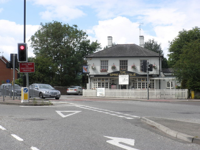
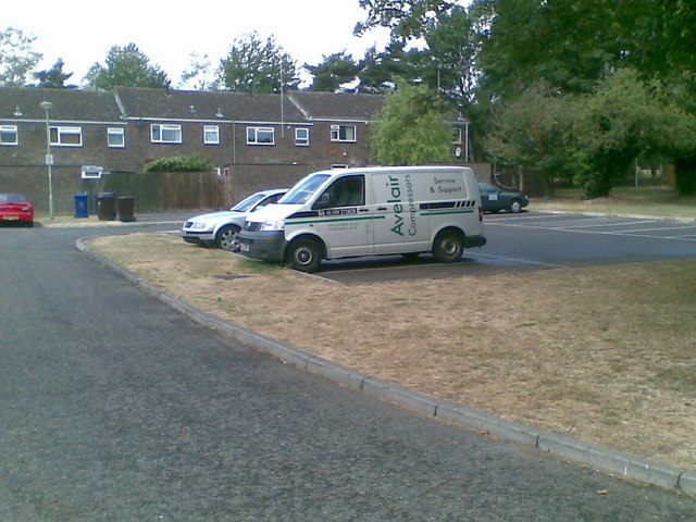
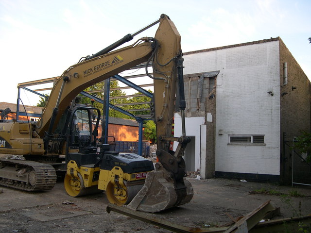
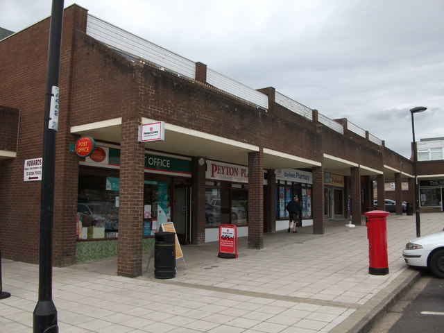
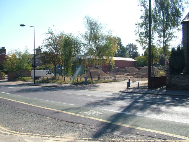
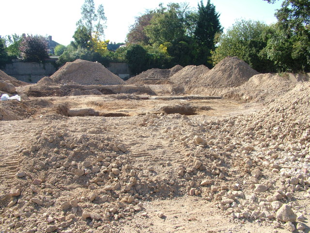
Bury St Edmunds Images
Images are sourced within 2km of 52.245983/0.677713 or Grid Reference TL8264. Thanks to Geograph Open Source API. All images are credited.


Bury St Edmunds is located at Grid Ref: TL8264 (Lat: 52.245983, Lng: 0.677713)
Administrative County: Suffolk
District: St Edmundsbury
Police Authority: Suffolk
What 3 Words
///respond.flows.grad. Near Bury St Edmunds, Suffolk
Nearby Locations
Related Wikis

RAF Westley
RAF Westley is a former Royal Air Force satellite airfield located to the west of Bury St Edmunds, Suffolk, England, between 1938 and 1946. It was established...

Westley, Suffolk
Westley is a village and civil parish in the West Suffolk district of Suffolk in eastern England. It is located south of Junction 42 of the A14 providing...
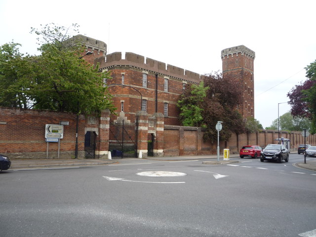
Gibraltar Barracks, Bury St Edmunds
Gibraltar Barracks is a military installation located on Out Risbygate, Bury St Edmunds. == History == The barracks were opened in 1878. Their creation...

Borough of St Edmundsbury
St Edmundsbury was a local government district and borough in Suffolk, England. It was named after its main town, Bury St Edmunds. The second town in...
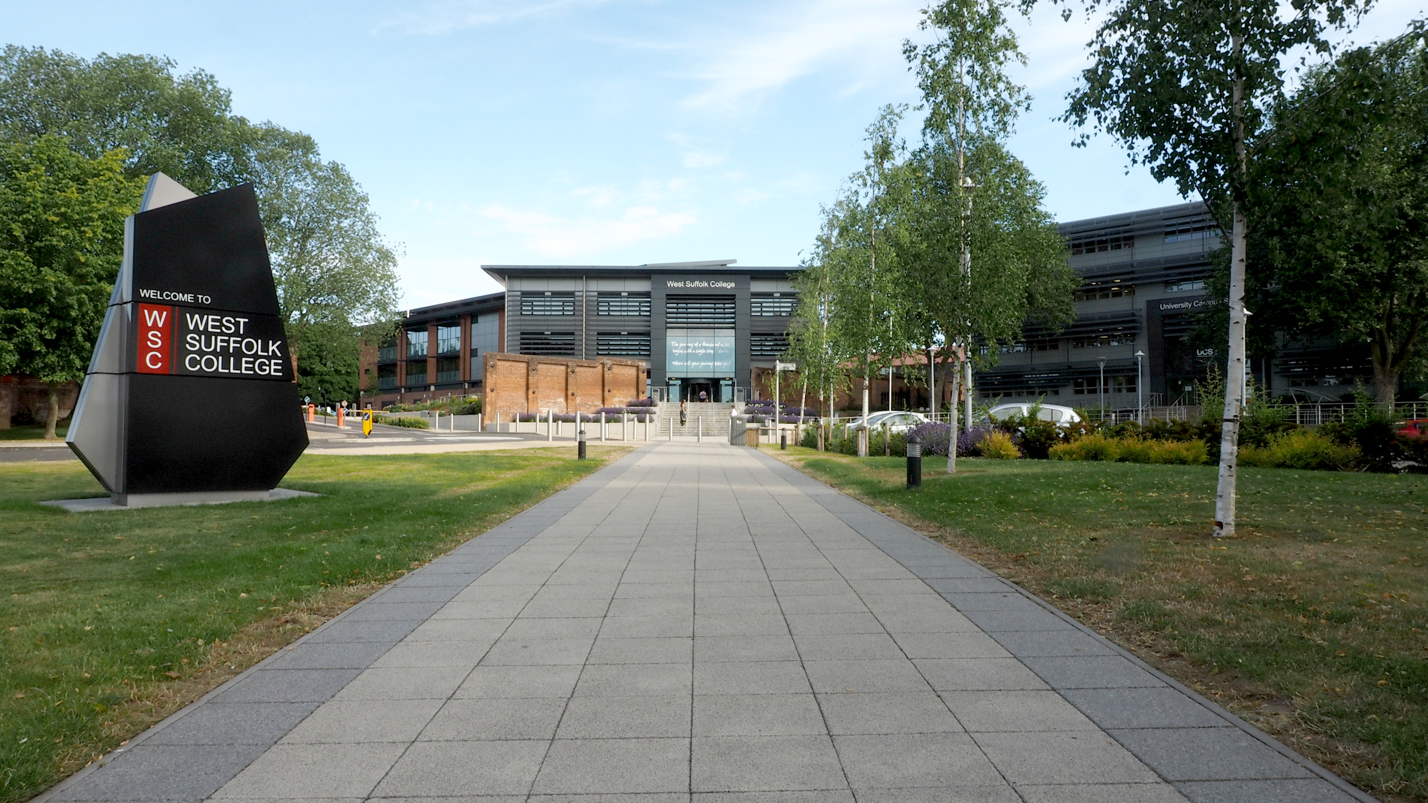
West Suffolk College
West Suffolk College is a Further Education college in Bury St Edmunds, Suffolk. The college delivers a range of courses, including vocational and technical...
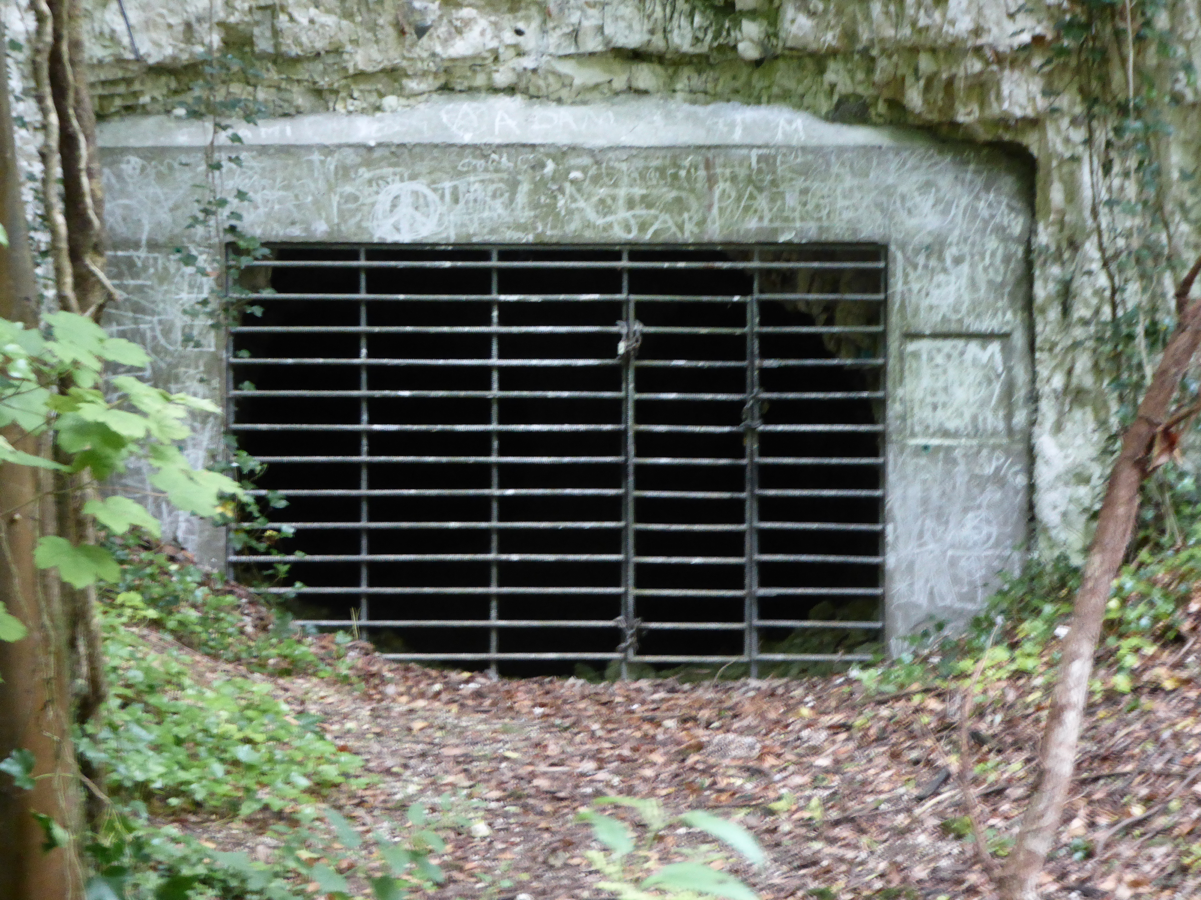
Horringer Court Caves
Horringer Court Caves is a 3.8-hectare (9.4-acre) biological Site of Special Scientific Interest on the southern outskirts of Bury St Edmunds in Suffolk...
Little Horringer Hall
Little Horringer Hall is a Grade II-listed house in Horringer, Bury St Edmunds, Suffolk, England.There has been a hall in this location since the 17th...
King Edward VI School, Bury St Edmunds
King Edward VI School is a co-educational comprehensive secondary school in Bury St Edmunds, Suffolk, England. The school in its present form was created...
Nearby Amenities
Located within 500m of 52.245983,0.677713Have you been to Bury St Edmunds?
Leave your review of Bury St Edmunds below (or comments, questions and feedback).