Burythorpe
Civil Parish in Yorkshire Ryedale
England
Burythorpe
Burythorpe is a small civil parish located in the Ryedale district of North Yorkshire, England. Situated approximately 9 miles east of the market town of Malton, it is nestled in the beautiful Howardian Hills Area of Outstanding Natural Beauty.
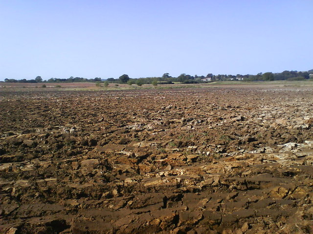
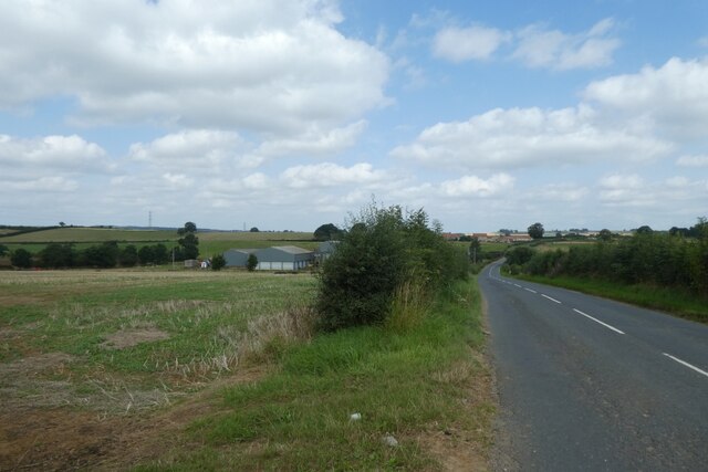
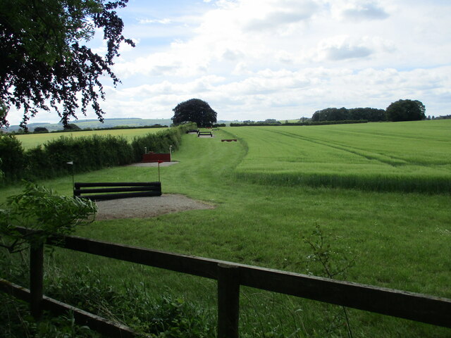
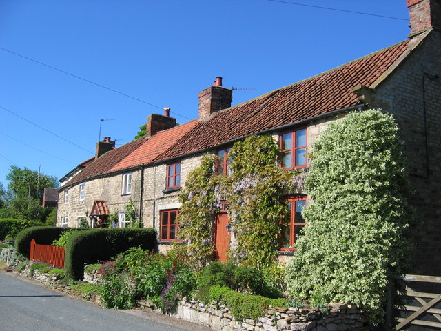
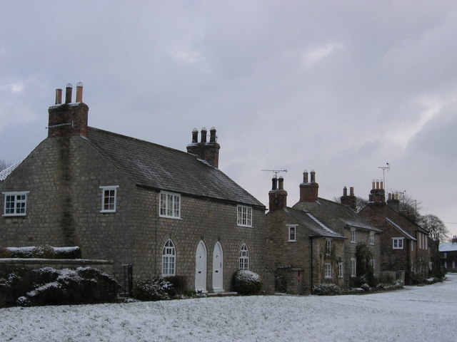
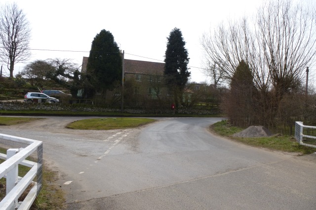
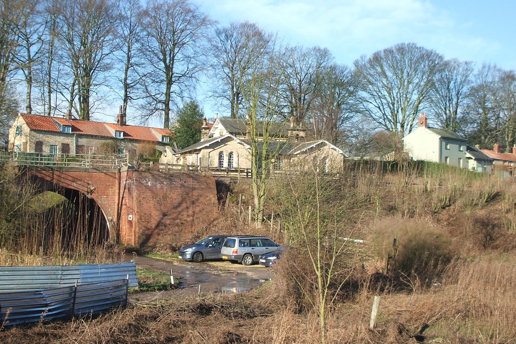
The parish covers an area of around 4 square miles and is home to a population of around 200 residents. Burythorpe is a quintessential English village, known for its picturesque landscapes, charming stone houses, and tranquil atmosphere. It is surrounded by lush countryside, with rolling hills, meadows, and woodland, making it a popular destination for nature lovers and outdoor enthusiasts.
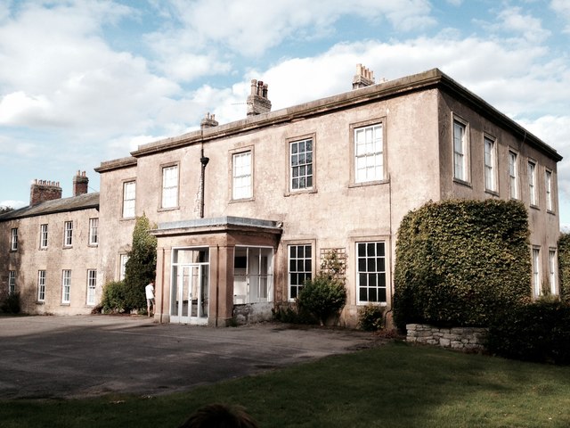
The centerpiece of the village is St. Andrew's Church, a Grade II listed building dating back to the 12th century. The church features a beautiful Norman chancel arch and a unique square tower with a spire. Other notable landmarks include Burythorpe House, a grand Georgian mansion now serving as a hotel, and Burythorpe Hall, a stunning 17th-century manor house converted into luxury accommodation.
Despite its small size, Burythorpe has a strong community spirit, with regular social gatherings and events taking place. The village also has a primary school, providing education for local children.
For amenities, residents rely on nearby towns such as Malton and Stamford Bridge, where they can find a wider range of shops, supermarkets, and services. Burythorpe offers a peaceful and idyllic lifestyle, with its scenic surroundings and close-knit community.
If you have any feedback on the listing, please let us know in the comments section below.
Burythorpe Images
Images are sourced within 2km of 54.086104/-0.804674 or Grid Reference SE7866. Thanks to Geograph Open Source API. All images are credited.


Burythorpe is located at Grid Ref: SE7866 (Lat: 54.086104, Lng: -0.804674)
Division: East Riding
Administrative County: North Yorkshire
District: Ryedale
Police Authority: North Yorkshire
What 3 Words
///community.violinist.slides. Near Norton, North Yorkshire
Nearby Locations
Related Wikis

Kennythorpe
Kennythorpe is a hamlet in the civil parish of Burythorpe, North Yorkshire, England. It is 4 miles (6 km) south from Malton, and between the village of...

Eddlethorpe
Eddlethorpe is a hamlet in North Yorkshire, England. It is approximately 4 miles (6 km) south from Malton, and between the village of Langton to the east...
Burythorpe
Burythorpe is a village and civil parish in North Yorkshire, England, about 4 miles (6 km) south of Malton. According to the 2001 census it had a population...
Langton, North Yorkshire
Langton is a village and civil parish in North Yorkshire, England. It is situated 3.5 miles (6 km) south from the market town of Malton. The population...
Menethorpe
Menethorpe is a hamlet and former civil parish, now in the parish of Burythorpe, in North Yorkshire, England. In 1931 the parish had a population of 68...

Woodleigh School, North Yorkshire
Woodleigh School was a preparatory school for boys and girls aged 3 to 13, located in the village of Langton, North Yorkshire, England. It was established...
Huttons Ambo railway station
Huttons Ambo railway station was a minor railway station serving the twin villages of High Hutton and Low Hutton, and the village of Menethorpe, in North...

Huttons Ambo
Huttons Ambo is a civil parish in the Ryedale district of North Yorkshire, England. It is about 14 miles (22.5 km) north-east of York and 3 miles (4.8...
Nearby Amenities
Located within 500m of 54.086104,-0.804674Have you been to Burythorpe?
Leave your review of Burythorpe below (or comments, questions and feedback).