Burton Latimer
Civil Parish in Northamptonshire
England
Burton Latimer
Burton Latimer is a civil parish located in the county of Northamptonshire, England. It is situated approximately 8 miles south-east of the town of Kettering and has a population of around 7,000 people. The parish covers an area of approximately 1,600 acres.
The history of Burton Latimer dates back to the Domesday Book of 1086 when it was recorded as a small village with a population of just 13 households. Over the years, it grew into a thriving industrial town due to its proximity to the ironstone quarries and the growth of the boot and shoe industry in the region. Many of the original shoe factories have now been converted into residential properties.
The town has a range of amenities and facilities to cater to its residents. There are several primary and secondary schools, a library, a community center, and a variety of shops, pubs, and restaurants. The parish also boasts several parks and green spaces, including the Pocket Park and Latimer Park, which offer recreational opportunities for its residents.
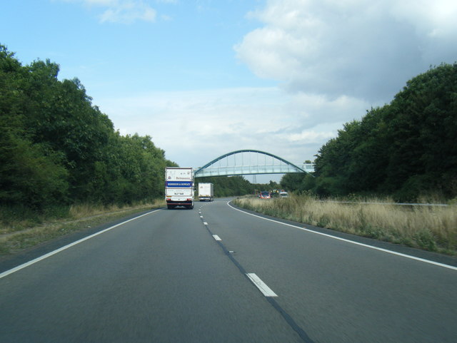
Burton Latimer is well-connected to nearby towns and cities, with good transport links including regular bus services and easy access to the A6 road. The nearest railway station is located in Kettering, providing connections to London and other major cities.
Overall, Burton Latimer is a historic and vibrant civil parish that combines its industrial heritage with modern amenities, making it an attractive place to live and visit in Northamptonshire.
If you have any feedback on the listing, please let us know in the comments section below.
Burton Latimer Images
Images are sourced within 2km of 52.363551/-0.667654 or Grid Reference SP9074. Thanks to Geograph Open Source API. All images are credited.


Burton Latimer is located at Grid Ref: SP9074 (Lat: 52.363551, Lng: -0.667654)
Unitary Authority: North Northamptonshire
Police Authority: Northamptonshire
What 3 Words
///scarf.stand.tint. Near Burton Latimer, Northamptonshire
Nearby Locations
Related Wikis
Burton Latimer
Burton Latimer is a town in North Northamptonshire, England, approximately 3.1 miles (5.0 km) from Kettering. At the 2011 census, its population was 7...

Burton Latimer Hall
Burton Latimer Hall is an Elizabethan manor house in the village of Burton Latimer, Northamptonshire. It is a Grade I listed building.The Hall, probably...
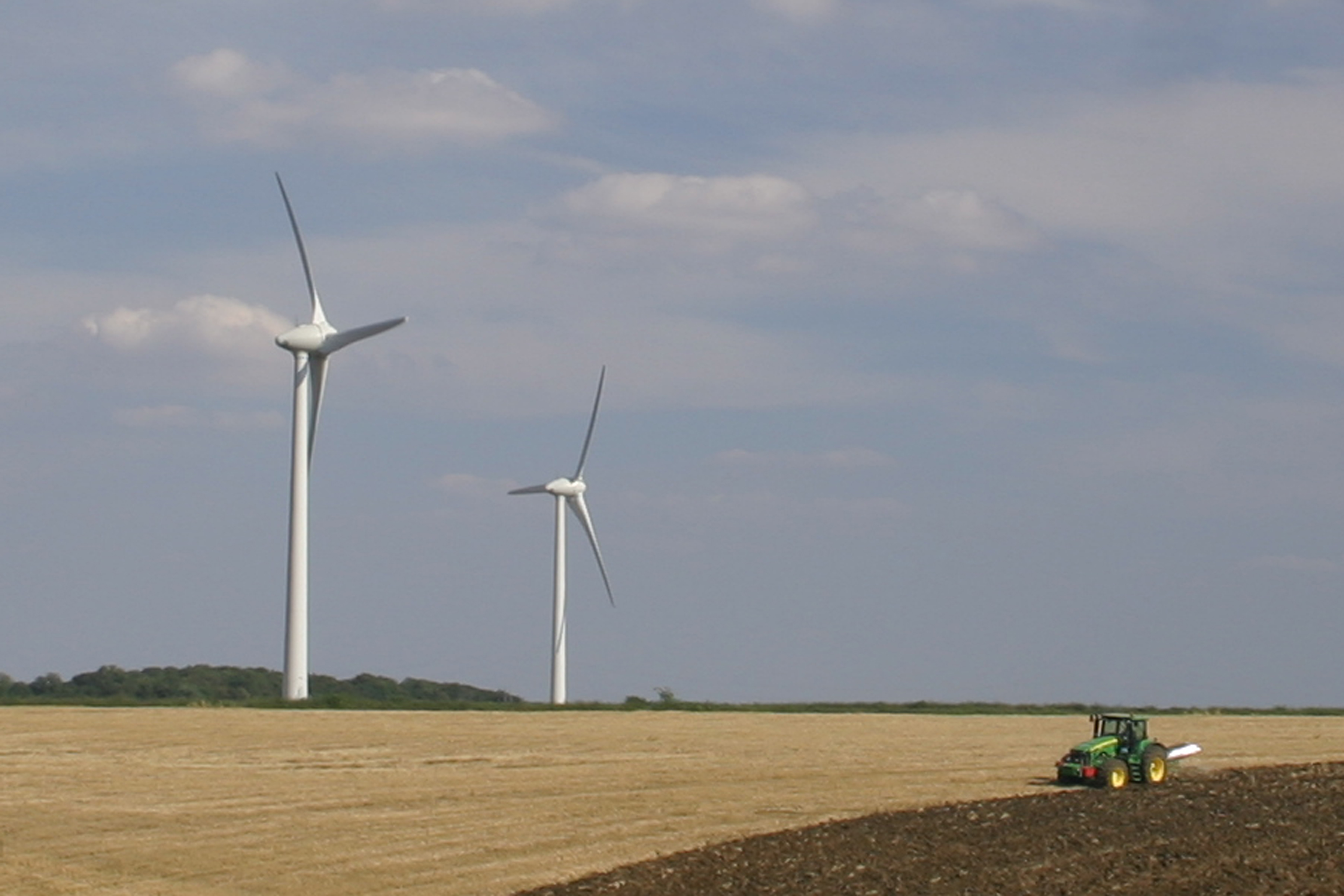
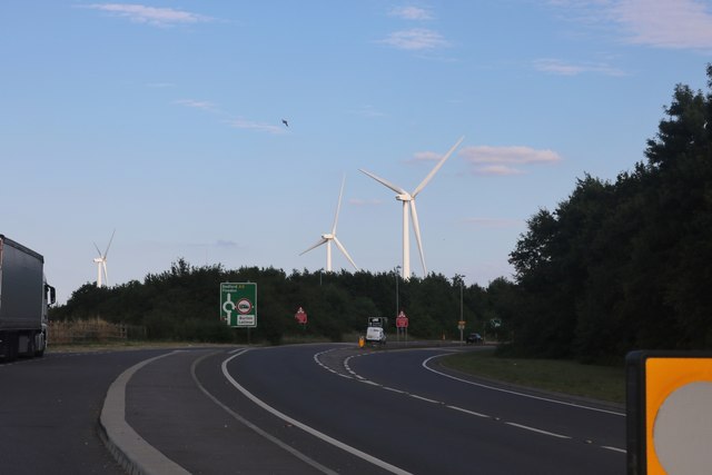
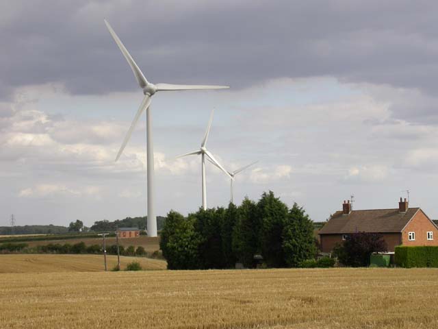
Burton Wold Wind Farm
Burton Wold Wind Farm is a wind farm located near Burton Latimer in the English county of Northamptonshire, UK. The farm was developed by Your Energy Ltd...

Burton Park Wanderers F.C.
Burton Park Wanderers Football Club is a football club based in Burton Latimer, Northamptonshire, England. They are currently members of the Spartan South...
Kettering Town F.C.
Kettering Town Football Club is a football club based in Burton Latimer, Northamptonshire, England. They are currently members of the Southern League Premier...
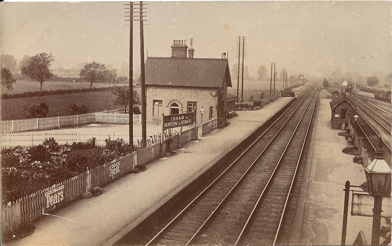
Isham and Burton Latimer railway station
Isham and Burton Latimer railway station was built by the Midland Railway in 1857 to serve the villages of Isham and Burton Latimer on its extension from...

Cranford St John SSSI
Cranford St John SSSI is a 2.8-hectare (6.9-acre) geological Site of Special Scientific Interest in Cranford St John, east of Kettering in Northamptonshire...

Finedon railway station
Finedon railway station was built by the Midland Railway in 1857 on its extension from Leicester to Bedford and Hitchin. It had one island platform. Being...
Nearby Amenities
Located within 500m of 52.363551,-0.667654Have you been to Burton Latimer?
Leave your review of Burton Latimer below (or comments, questions and feedback).