Burton Joyce
Civil Parish in Nottinghamshire Gedling
England
Burton Joyce
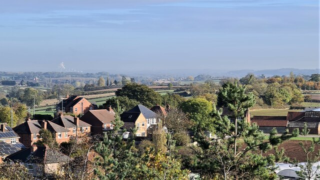
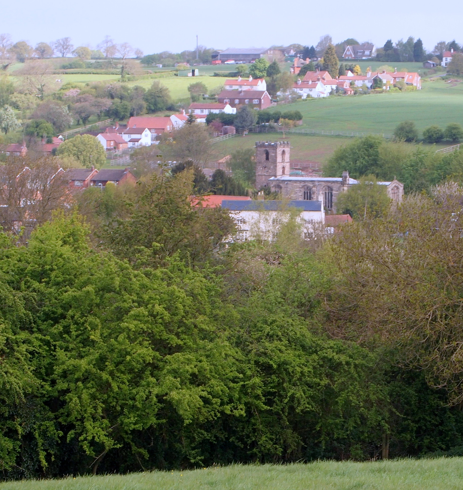
Burton Joyce is a civil parish located in the Rushcliffe borough of Nottinghamshire, England. Situated approximately seven miles northeast of the city of Nottingham, the village is surrounded by picturesque countryside and is bordered by the River Trent to the east. With a population of around 3,500 residents, Burton Joyce is a close-knit community that offers a peaceful and rural atmosphere.
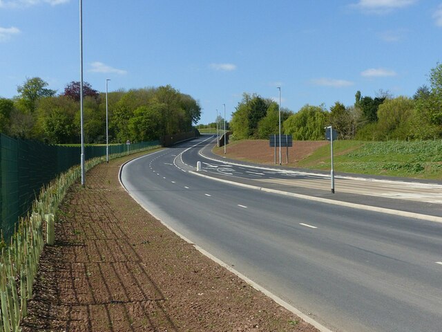
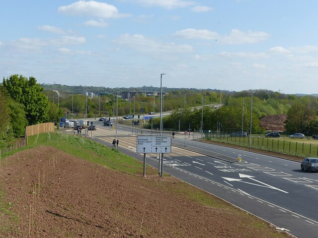
The village has a rich history that can be traced back to the Domesday Book of 1086, where it is mentioned as "Burtone." Over the centuries, it has evolved from an agricultural settlement to a thriving commuter village, thanks to its convenient location and excellent transport links. The A612 road passes through Burton Joyce, providing easy access to Nottingham and neighboring towns.
Despite its small size, Burton Joyce boasts a range of amenities and services to cater to its residents' needs. These include a primary school, a library, a medical center, a post office, and several shops and pubs. The village is also well-served by public transportation, with regular bus services connecting it to Nottingham and other nearby towns.
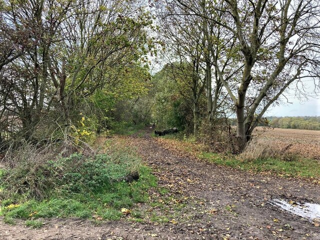
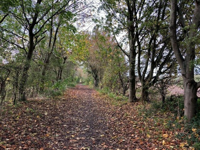
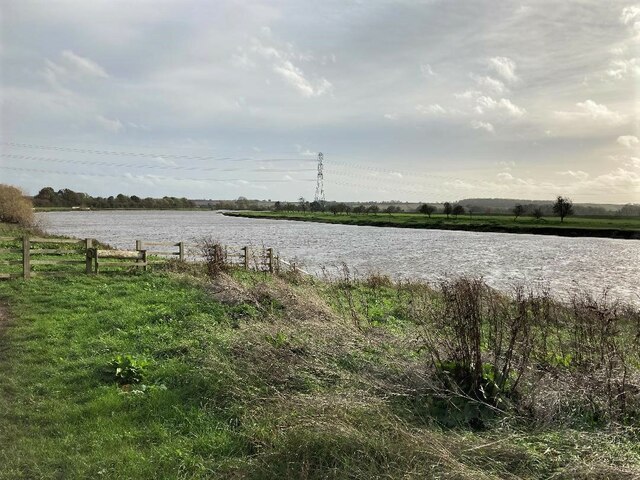
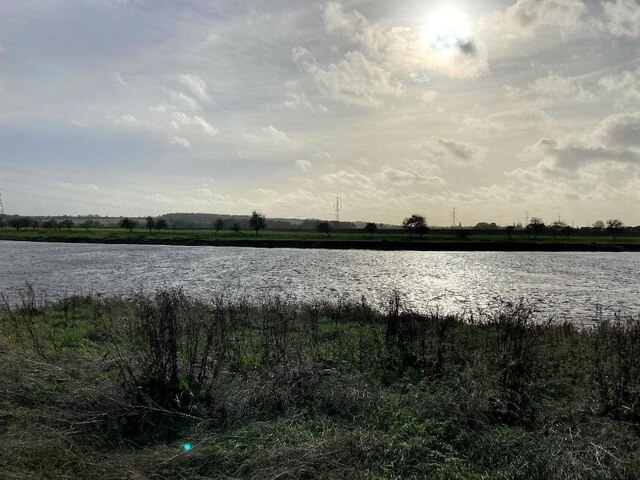
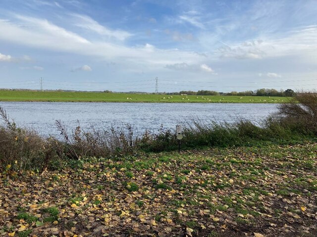
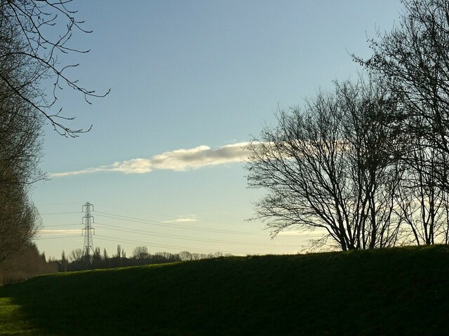
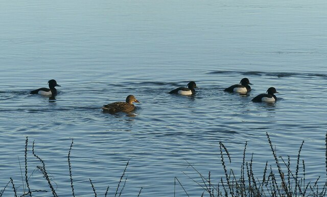
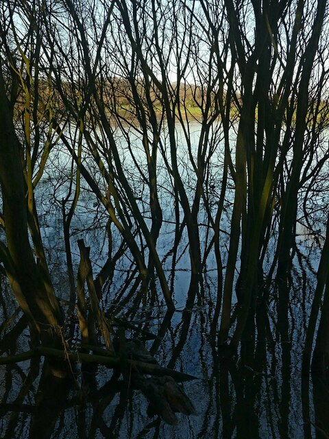
For nature enthusiasts, Burton Joyce offers plenty of opportunities to explore the outdoors. The village is surrounded by beautiful countryside, including the popular Burton Joyce and Bulcote Meadows nature reserve. These areas provide a tranquil escape and are home to a variety of wildlife and bird species.
Overall, Burton Joyce is a charming and vibrant village that blends history, natural beauty, and modern amenities to create a welcoming community for its residents.
If you have any feedback on the listing, please let us know in the comments section below.
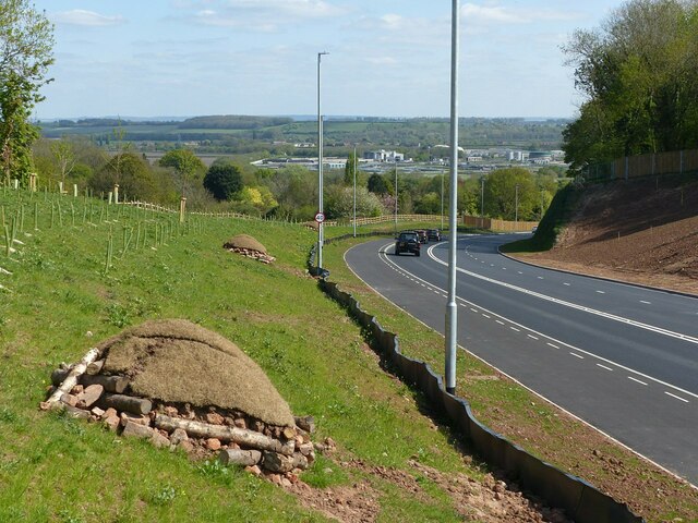
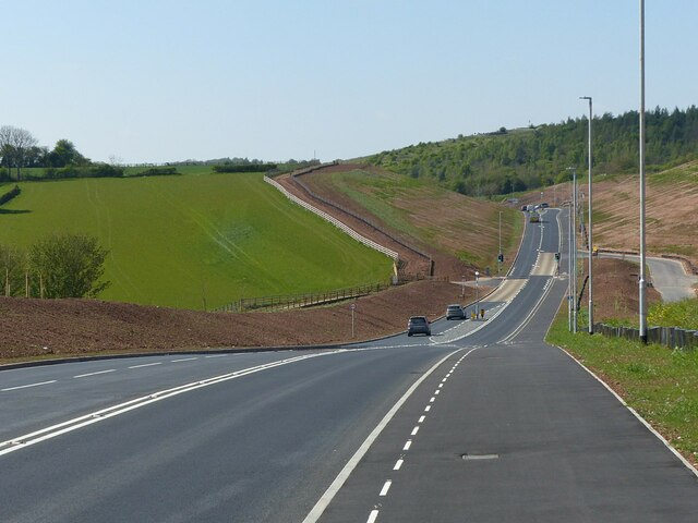
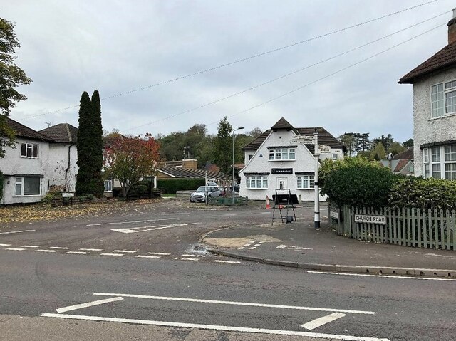
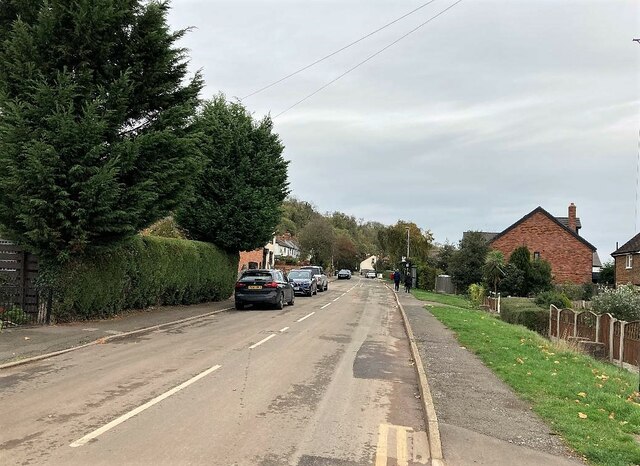
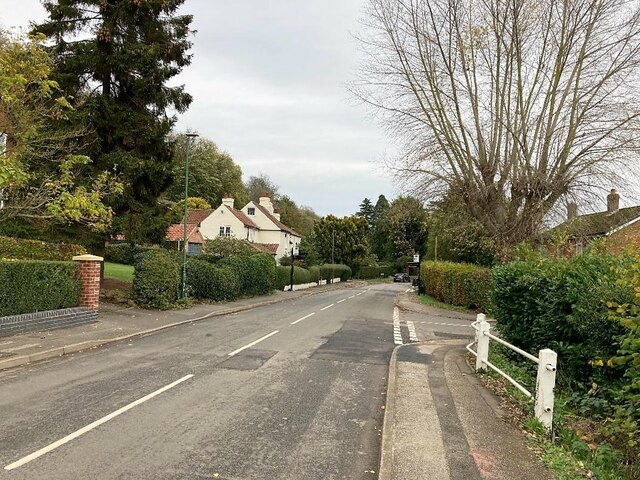
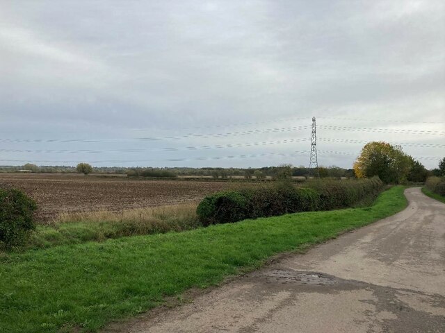
Burton Joyce Images
Images are sourced within 2km of 52.988541/-1.042824 or Grid Reference SK6443. Thanks to Geograph Open Source API. All images are credited.
Burton Joyce is located at Grid Ref: SK6443 (Lat: 52.988541, Lng: -1.042824)
Administrative County: Nottinghamshire
District: Gedling
Police Authority: Nottinghamshire
What 3 Words
///member.slides.lace. Near Burton Joyce, Nottinghamshire
Nearby Locations
Related Wikis

United Reformed Church, Burton Joyce
The United Reformed Church (formerly known as the village's Congregationalist Church) is a now redundant Christian church that operated under the United...

St Helen's Church, Burton Joyce
St Helen's Church is a Grade I listed parish church in the Church of England in Burton Joyce, Nottinghamshire, England. == History == It was built in the...

Burton Joyce
Burton Joyce () is a large village and civil parish in the Gedling district of Nottinghamshire, England, 7 miles (11 km) east of Nottingham, between Stoke...

Burton Joyce railway station
Burton Joyce railway station serves the large village of Burton Joyce in Nottinghamshire, England. It lies between Carlton and Lowdham stations on the...
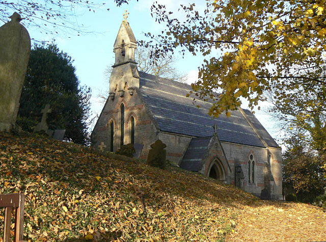
Holy Trinity Church, Bulcote
Holy Trinity Church, Bulcote is a Grade II listed parish church in the Church of England in Bulcote. == History == It was built in as a chapel of ease...

Bulcote
Bulcote is a village and civil parish in the Newark and Sherwood district of Nottinghamshire, England. According to the 2001 census it had a population...
Gedling Town F.C.
Gedling Town Football Club was a semi-professional football club based in Stoke Bardolph, Nottinghamshire, England. Founded in 1985 as R & R Scaffolding...
Lambley, Nottinghamshire
Lambley is an English village and civil parish near Nottingham, England, hardly touched by urbanisation, as it lies in a green belt. The population recorded...
Nearby Amenities
Located within 500m of 52.988541,-1.042824Have you been to Burton Joyce?
Leave your review of Burton Joyce below (or comments, questions and feedback).